Plizio Visual Lab
Mahaweli Valley

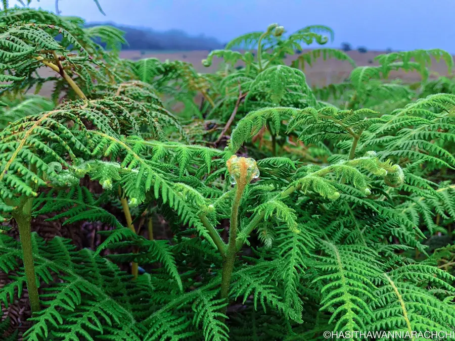
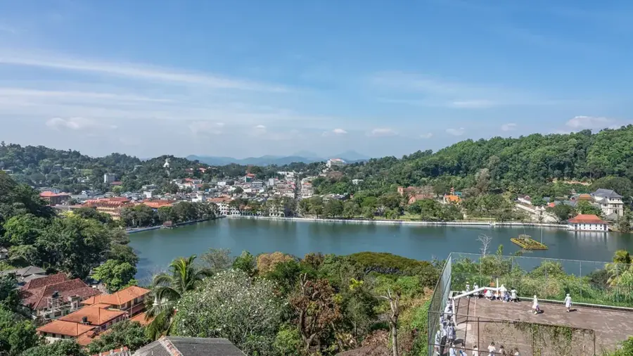
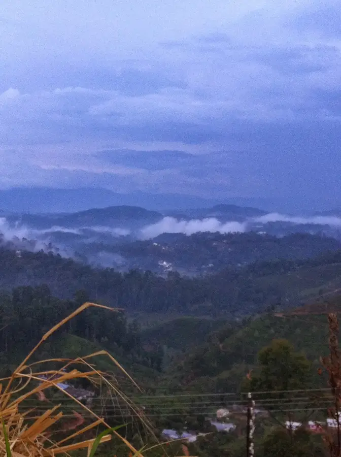
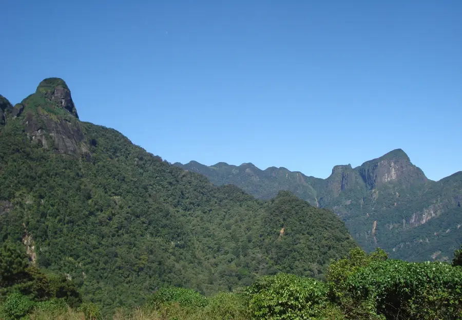
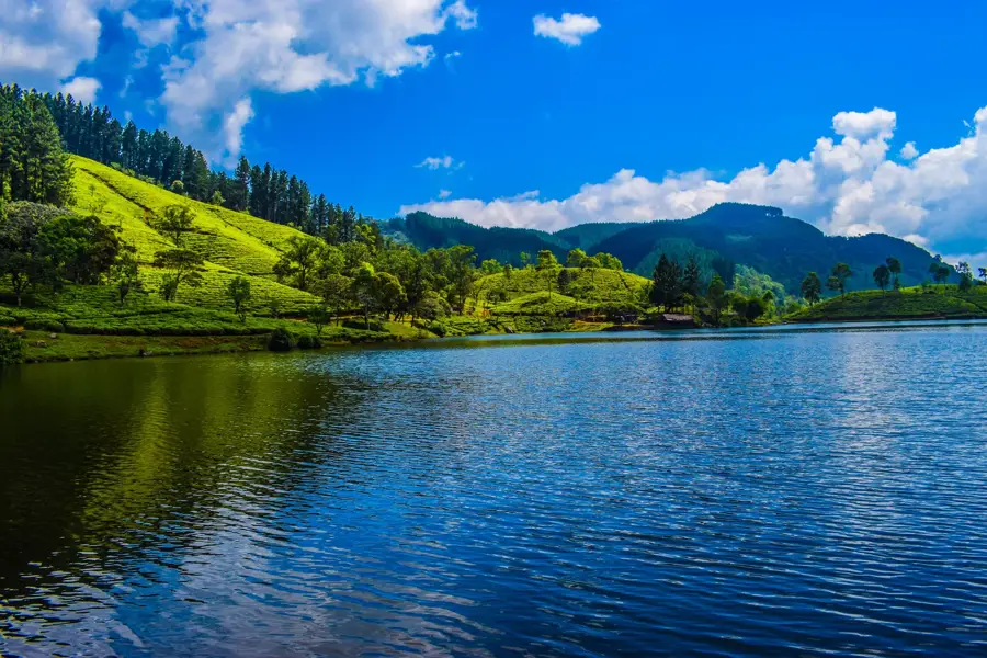
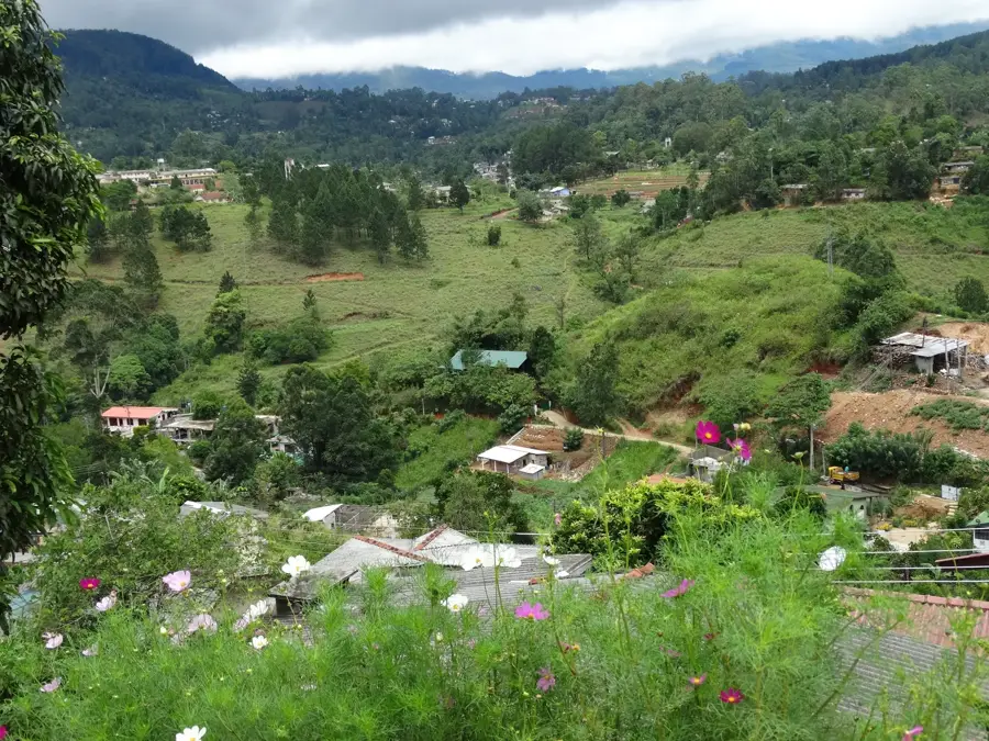
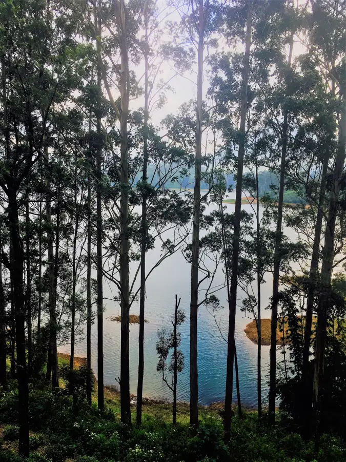
The Mahaweli Valley is the largest and most economically significant river valley in Sri Lanka, carved by the Mahaweli Ganga, the island's longest river. The valley stretches from the Central Highlands near Hatton, flows past the ancient capital of Kandy, and eventually empties into the Bay of Bengal at Trincomalee. Geologically, the river traverses various tectonic zones, resulting in a diverse landscape of deep gorges, expansive floodplains, and fertile deltas. In the 1970s and 80s, the valley underwent a massive transformation through the Accelerated Mahaweli Development Programme, which saw the construction of major hydroelectric dams like Victoria, Randenigala, and Kotmale. Historically, the valley has been the heartland of ancient Sinhalese civilizations and a center for large-scale paddy cultivation. Its ecological diversity is immense, supporting several national parks such as Wasgamuwa and Somawathiya, which serve as critical habitats for wild elephants and numerous migratory birds.
- Location: Sri Lanka
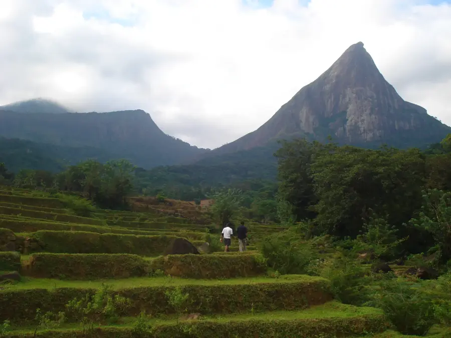
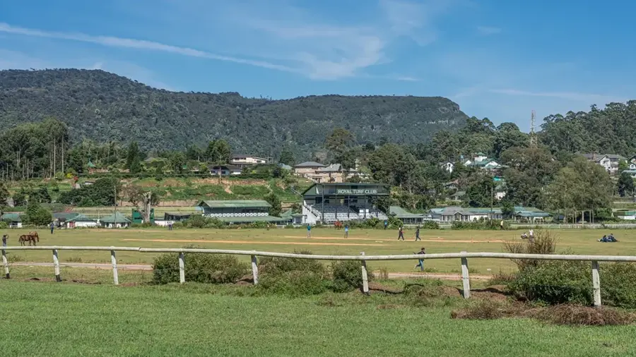
- Top sights: Mini World's End · Pettigala View Point · Pettigala 2nd View Point
- Nearby: Nuwara Eliya (7 km)
Best time to visit & climate
The most pleasant time to visit is Feb, Jun, Jul.
| Jan | Feb | Mar | Apr | May | Jun | Jul | Aug | Sep | Oct | Nov | Dec | |
|---|---|---|---|---|---|---|---|---|---|---|---|---|
| Avg °C | 24 | 24 | 26 | 28 | 28 | 28 | 28 | 28 | 28 | 27 | 25 | 24 |
| Rain mm | 156 | 110 | 97 | 140 | 113 | 42 | 37 | 48 | 88 | 218 | 312 | 312 |
📋 Practical info
Geography
Facts
- The Mahaweli River is 335 kilometers long, the longest in Sri Lanka.
- The valley drainage basin covers nearly 16% of the island's land area.
- The Victoria Dam, located here, is a double-curvature arch dam.
- The valley project is the largest multipurpose development in Sri Lankan history.
- Ancient kings used the river as a natural defense for the city of Kandy.
- It provides irrigation water to the dry zone provinces of the north and east.
Explore nearby
Notable places around
Route planner — Car & Motorhome
Where do you start? We build the route here, with stops and country notes along the way.
© OpenStreetMap contributors · OpenRouteService
Sights in the town Mahaweli Valley (9)
Sights nearby
Frequently asked questions
What is the significance of the Mahaweli Valley?
What can you visit in the valley?
Are there nature parks in the Mahaweli area?
Can you go canoeing on the Mahaweli River?
What is the climate like in the lower valley?
Mahaweli Valley: where is it located?
Mahaweli Valley: what is there to see?
Mahaweli Valley: when is the best time to visit?
Mahaweli Valley: why is it worth visiting?

Nearby cities
More places