Plizio Visual Lab
Knuckles Mountain Range

Weather…
Water temperature…
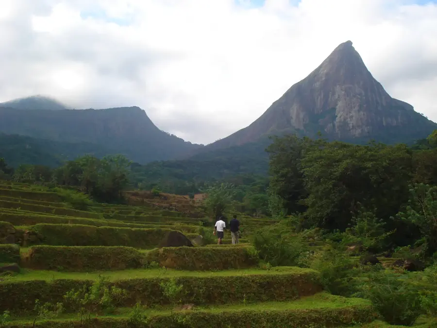
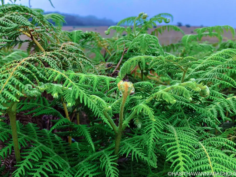
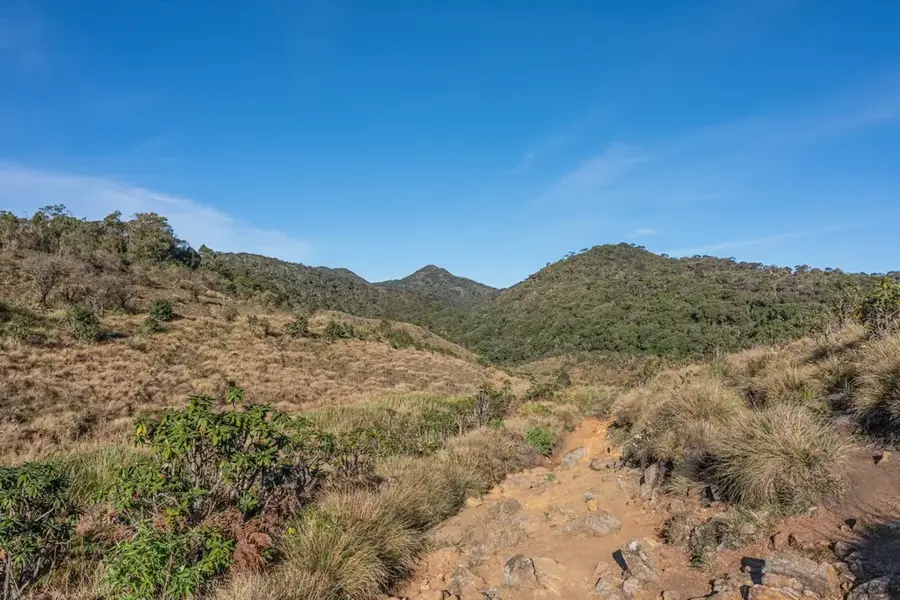
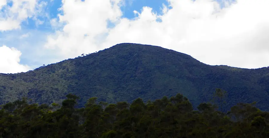
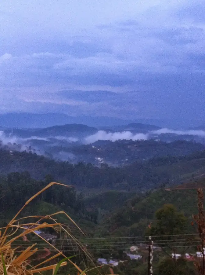
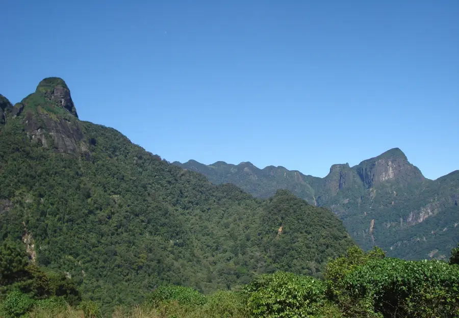
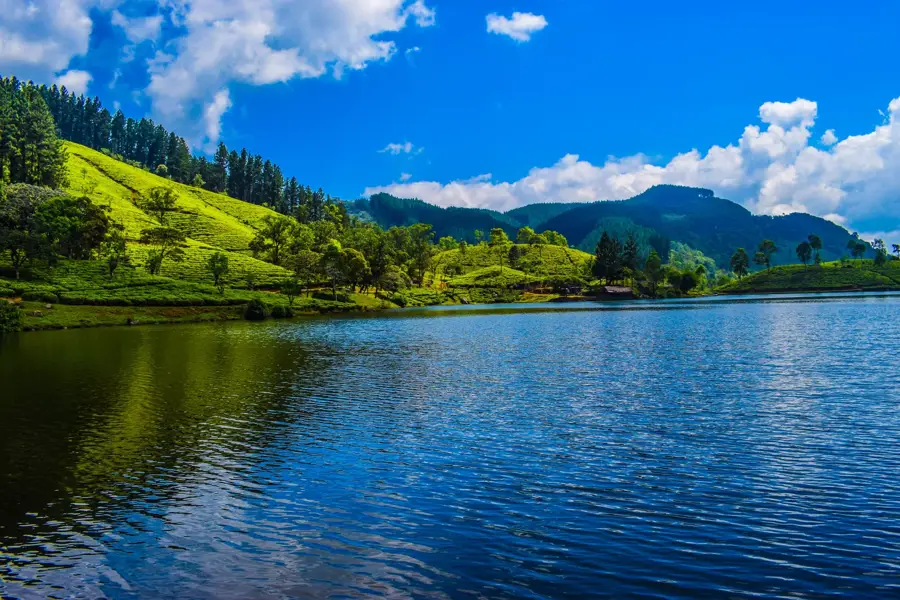
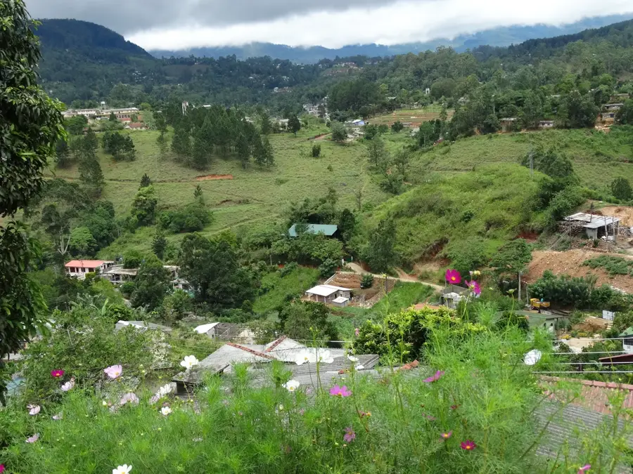
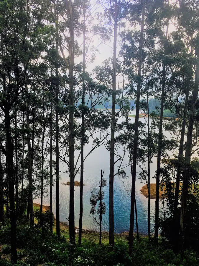
The Knuckles Mountain Range, known locally as Dumbara Kanduvetiya, is an impressive mountain massif in central Sri Lanka, famous for its distinctive shape resembling a clenched fist. The region was inscribed as a UNESCO World Heritage Site in 2010 as part of the Central Highlands and is a major biodiversity hotspot. The range comprises 34 peaks with altitudes ranging from 900 to 1,900 meters, which are often shrouded in dense mist. The landscape has an extraordinary variety of ecosystems, from moist montane rainforests to dry plains. Due to its isolated location, numerous endemic plant and animal species have evolved here that are found nowhere else in the world. Hikes in the Knuckles are considered challenging but reward visitors with pristine waterfalls, deep valleys, and a unique silence far away from civilization.
- Location: Sri Lanka
- Top sights: Thaliya Wetuna Ella · Hatale Patana World's End · Upper Hunnasfall
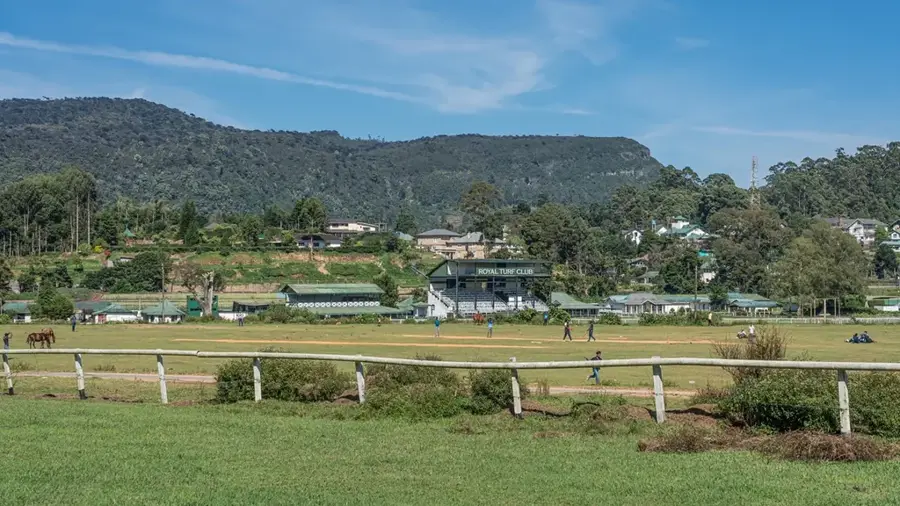
- Nearby: Nuwara Eliya (8 km)
Best time to visit & climate
The most pleasant time to visit is Feb, Jun, Jul.
| Jan | Feb | Mar | Apr | May | Jun | Jul | Aug | Sep | Oct | Nov | Dec | |
|---|---|---|---|---|---|---|---|---|---|---|---|---|
| Avg °C | 24 | 24 | 26 | 28 | 28 | 28 | 28 | 28 | 28 | 27 | 25 | 24 |
| Rain mm | 156 | 110 | 97 | 140 | 113 | 42 | 37 | 48 | 88 | 218 | 312 | 312 |
📋 Practical info
Geography
Facts
- The range was designated a UNESCO World Heritage Site in 2010.
- It includes 34 peaks that are over 900 meters in altitude.
- The highest point in the range is Gombaniya at 1,906 meters.
- More than 30% of Sri Lanka's endemic trees are found in this area.
- The protected area covers approximately 21,000 hectares of land.
- The name 'Knuckles' was coined by British surveyors for its shape.
Explore nearby
Notable places around
Route planner — Car & Motorhome
Where do you start? We build the route here, with stops and country notes along the way.
© OpenStreetMap contributors · OpenRouteService
Sights in the town Knuckles Mountain Range (6)
Sights nearby
Frequently asked questions
Why is the mountain range called Knuckles?
Do you need a guide for trekking?
What animals live in the Knuckles Range?
What is the weather like in the mountains?
What clothing should you bring?
Knuckles Mountain Range: where is it located?
Knuckles Mountain Range: what is there to see?
Knuckles Mountain Range: when is the best time to visit?
Knuckles Mountain Range: why is it worth visiting?

Nearby cities
More places