Plizio Visual Lab
Sierra de Tramuntana
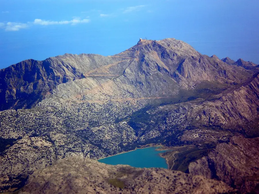
The Sierra de Tramuntana is a dominant mountain massif that rises majestically along the entire northwest coast of the Balearic island of Mallorca, forming the island's rugged backbone. This harsh, approximately 90-kilometer-long limestone chain provides a dramatic scenic contrast to the flatter, agriculturally dominated plains in the center and the sandy beaches in the south of the island. The highest peak, Puig Major, reaches a considerable altitude for an island mountain at 1445 meters, although the very top is a restricted military zone. Characteristic of the Tramuntana are the sheer cliffs that often drop almost vertically into the Mediterranean Sea, deeply incised gorges such as the Torrent de Pareis, and broad, barren karst plateaus. Over centuries, the local inhabitants have terraced the steep slopes using a sophisticated system of dry-stone walls (Piedra en seco) to cultivate olive trees and utilize scarce water efficiently. This unique harmonious interaction between wild nature and human cultural landscape earned the region a UNESCO World Heritage designation in 2011.
- Location: Galicia, Spain
- Top sights: Puig de sa Plana · Puig Major · Puig de ses Vinyes
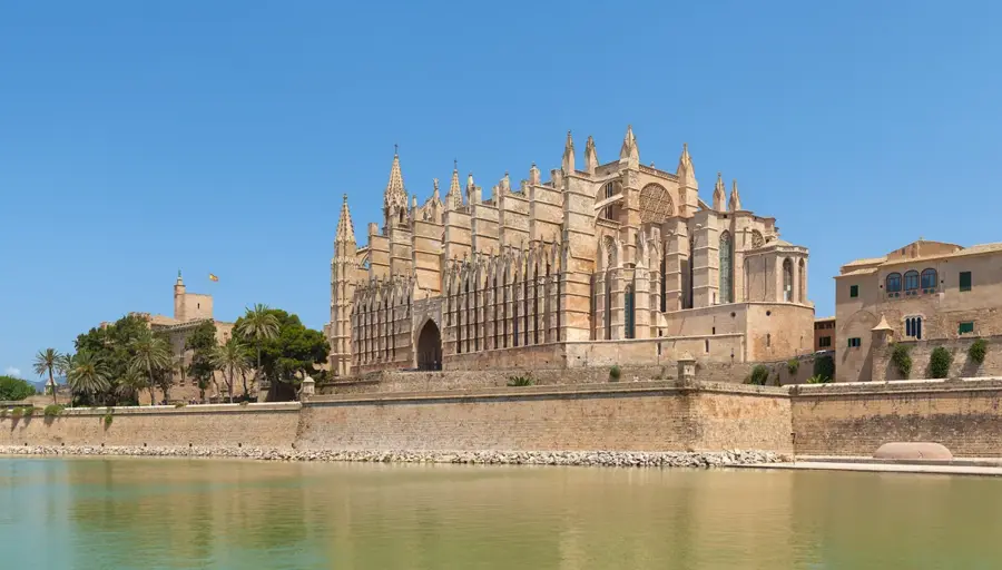
- Nearby: Sóller (8 km)
Best time to visit & climate
The most pleasant time to visit is May, Jun, Oct.
| Jan | Feb | Mar | Apr | May | Jun | Jul | Aug | Sep | Oct | Nov | Dec | |
|---|---|---|---|---|---|---|---|---|---|---|---|---|
| Avg °C | 12 | 12 | 13 | 15 | 18 | 23 | 26 | 26 | 24 | 21 | 17 | 14 |
| Rain mm | 46 | 40 | 44 | 52 | 49 | 23 | 21 | 43 | 78 | 77 | 71 | 46 |
📋 Practical info
Geography
Explore nearby
Notable places around
Route planner — Car & Motorhome
Where do you start? We build the route here, with stops and country notes along the way.
© OpenStreetMap contributors · OpenRouteService
Sights in the town Sierra de Tramuntana (10)
Puig de ses Vinyes
Mountain in Spain, in the Sierra de Tramuntana range.
Casa de neu superior de n'Arbona
Upper snow house, formerly used for storing snow.
Cases de Neu
Several snow houses used for ice production.
airplane crash
Wreckage of a crashed airplane in the mountain landscape.
Almallutx
Archaeological site with settlement remains from various periods.
Santuari d'Almallutx
Cultural property in Escorca, Spain, an archaeological site.
Sights nearby
Frequently asked questions
Where is the Sierra de Tramuntana located?
Is it a UNESCO World Heritage site?
What is the highest peak?
Which villages are the most beautiful there?
Is it good for cycling?
Sierra de Tramuntana: where is it located?
Sierra de Tramuntana: what is there to see?
Sierra de Tramuntana: when is the best time to visit?
Sierra de Tramuntana: why is it worth visiting?

Nearby cities