Plizio Visual Lab
Sierra de la Demanda
Weather…
Water temperature…
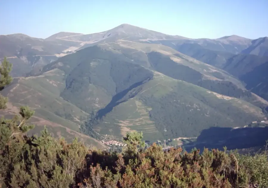
The Sierra de la Demanda is a massive and heavily forested mountain massif in the northwest of the Iberian System, extending primarily across the autonomous regions of La Rioja and Castile and León. It stands as one of the highest and most significant mid-elevation mountain ranges in Spain, culminating in the 2271-meter-high Pico San Lorenzo, upon whose slopes the popular and well-developed Valdezcaray ski resort is located. Geologically, the Sierra de la Demanda is mostly built from Paleozoic slates and quartzites, resulting in a rather gentle and rounded morphology of the peaks, standing in stark contrast to the rugged limestone mountains of many other Spanish ranges. The deep, well-watered valleys are covered with some of the most extensive and best-preserved beech and oak forests found anywhere on the Iberian Peninsula. Historically, the region was strongly influenced by mining and transhumant pastoralism, the traces of which are still clearly visible in the traditional mountain villages today.
- Location: Galicia, Spain
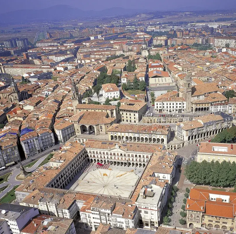
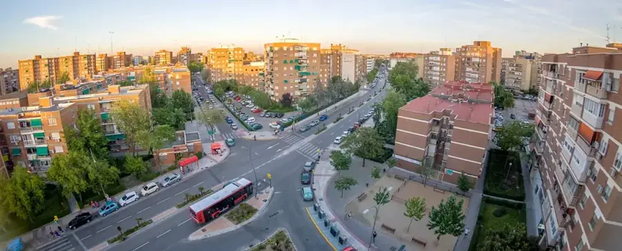
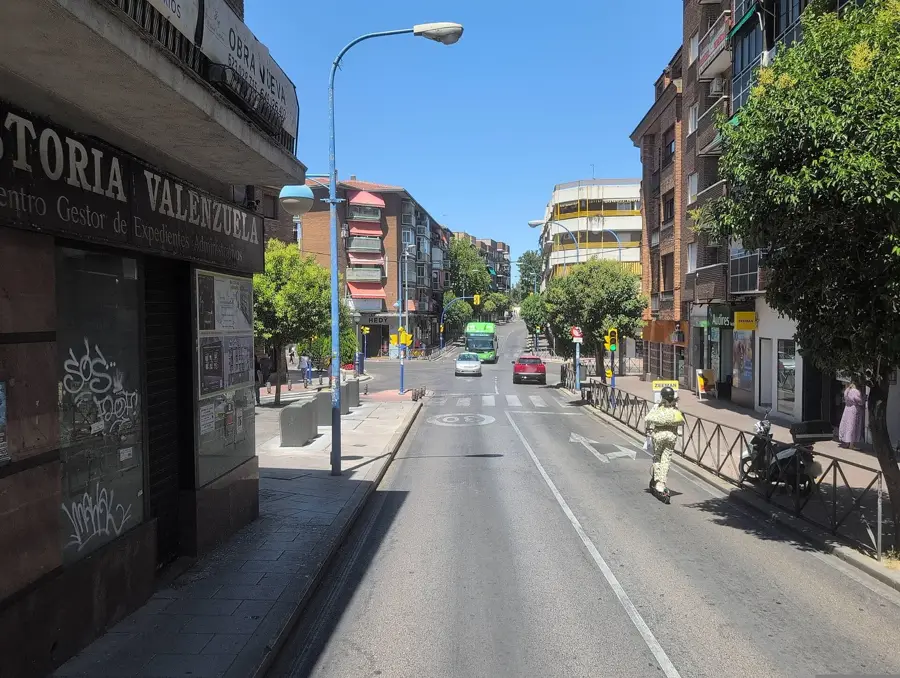
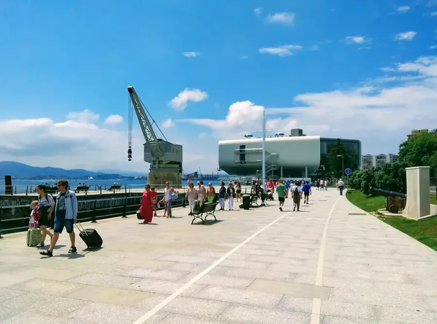
- Nearby: Ezcaray (16 km)
Best time to visit & climate
The most pleasant time to visit is Jun–Aug.
| Jan | Feb | Mar | Apr | May | Jun | Jul | Aug | Sep | Oct | Nov | Dec | |
|---|---|---|---|---|---|---|---|---|---|---|---|---|
| Avg °C | 1 | 2 | 4 | 7 | 11 | 16 | 18 | 18 | 15 | 10 | 5 | 2 |
| Rain mm | 50 | 40 | 52 | 58 | 54 | 46 | 24 | 21 | 29 | 59 | 60 | 46 |
📋 Practical info
Geography
Explore nearby
Notable places around
Route planner — Car & Motorhome
Where do you start? We build the route here, with stops and country notes along the way.
© OpenStreetMap contributors · OpenRouteService
Sights nearby
Frequently asked questions
In which provinces is this range located?
What is the highest point?
Is there a ski resort there?
Which monasteries are located nearby?
What are typical animals of the region?
Sierra de la Demanda: where is it located?
Sierra de la Demanda: when is the best time to visit?
Sierra de la Demanda: why is it worth visiting?

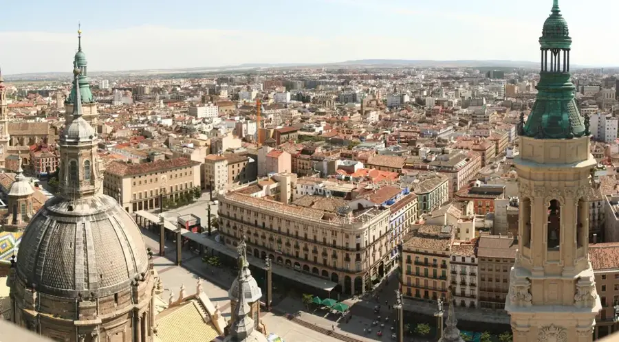
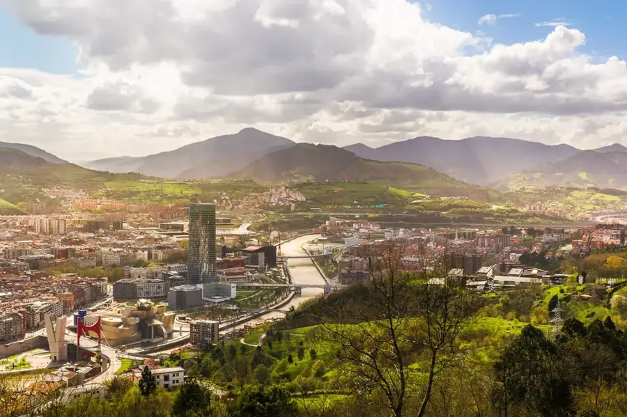
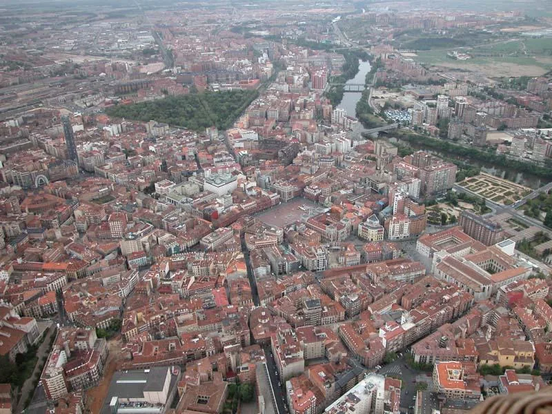
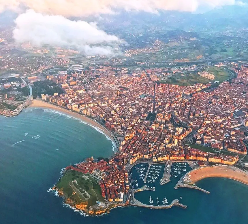
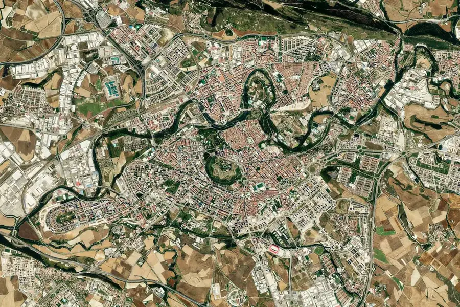
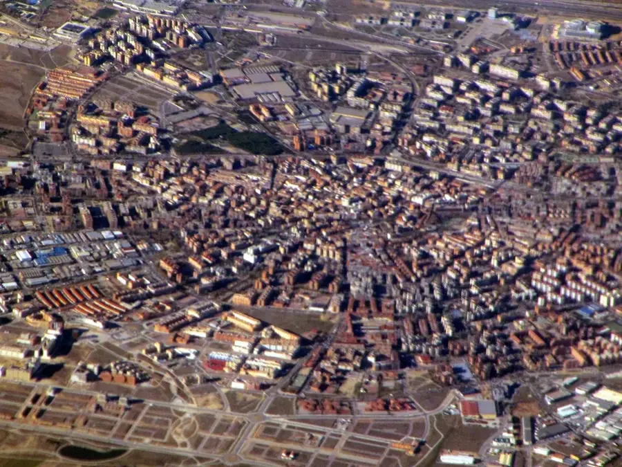
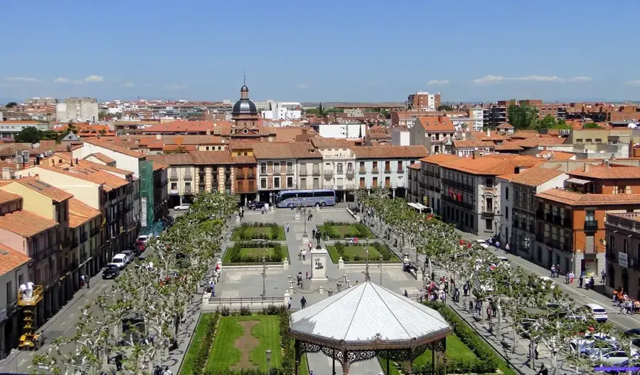
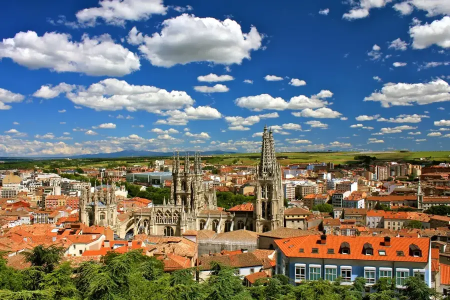
Nearby cities