Plizio Visual Lab
Lantoto Forest

Weather…
Water temperature…
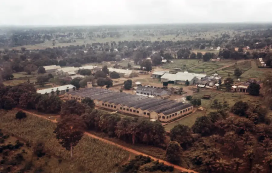
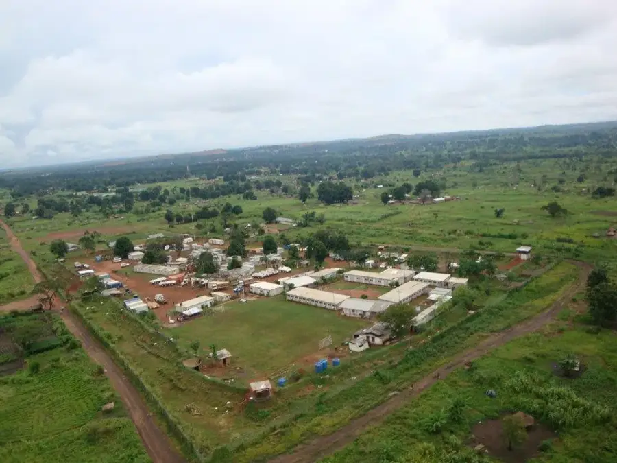
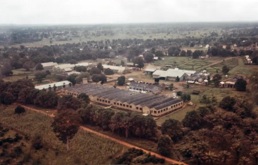
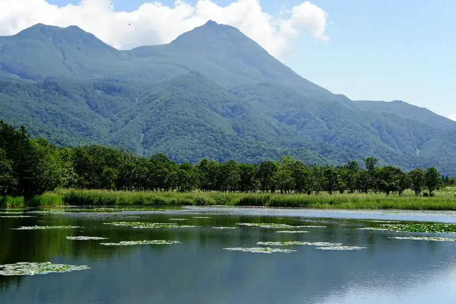
Lantoto Forest is situated in the southwestern part of South Sudan, adjacent to the border with the Democratic Republic of the Congo, and forms the core of Lantoto National Park. This dense tropical forest covers an area of approximately 760 square kilometers and represents a significant transition zone between the East African savanna and the Central African rainforest. The region is renowned for its exceptional biodiversity, hosting populations of elephants, chimpanzees, and various species of antelope. Geographically, the area is characterized by undulating hilly terrain and numerous small perennial streams that maintain high humidity levels within the forest year-round. Lantoto Forest plays a vital role in the conservation of endangered species that migrate across the international border. Historically, the density and remote location of the forest provided refuge during regional conflicts, though this also posed challenges for wildlife protection. Currently, international conservation organizations are working with the South Sudanese government to restore park management and enhance anti-poaching efforts.
- Location: South Sudan
- Nearby: Maridi (61 km)
Best time to visit & climate
The most pleasant time to visit is Jan, Nov, Dec.
| Jan | Feb | Mar | Apr | May | Jun | Jul | Aug | Sep | Oct | Nov | Dec | |
|---|---|---|---|---|---|---|---|---|---|---|---|---|
| Avg °C | 27 | 29 | 28 | 27 | 25 | 24 | 24 | 24 | 24 | 24 | 25 | 26 |
| Rain mm | 9 | 17 | 56 | 101 | 135 | 118 | 124 | 176 | 148 | 134 | 70 | 28 |
📋 Practical info
Geography
Facts
- Lantoto National Park covers an area of 760 square kilometers.
- The forest is located in Central Equatoria State near the border town of Yei.
- It is one of the few confirmed habitats for chimpanzees in South Sudan.
- The park forms a transboundary corridor with Garamba National Park in DRC.
- The vegetation is a mix of open woodland and dense gallery forest.
- Government protection for the forest was officially enacted in 1986.
Explore nearby
Notable places around
Route planner — Car & Motorhome
Where do you start? We build the route here, with stops and country notes along the way.
© OpenStreetMap contributors · OpenRouteService
Sights nearby
Frequently asked questions
What is Lantoto Forest?
Is the forest suitable for hiking?
What should one consider when visiting?
Are there rare animals there?
What is the atmosphere like?
Lantoto Forest: where is it located?
Lantoto Forest: when is the best time to visit?
Lantoto Forest: why is it worth visiting?

Nearby cities


History & landmarks
More places