Plizio Visual Lab
Faradje
ℹ️Practical info — Faradje
▾
🌤 Weather — 5 days
📍 Nearby
Sights nearby
💡 Tips
- As a gateway to Garamba National Park, you should organize all permits and guides here in advance.
- The climate is hotter and closer to the savanna; bring strong sun protection and a hat.
- Travel early in the morning to avoid the intense midday heat when moving around the region.
- Bushmeat is common, but strictly avoid purchasing or eating endangered wildlife to support conservation.
🍽 Food
A staple, hearty meal found in almost every local diner in town.
Fried plantains are a quick and tasty energy boost available from street vendors.
Chicken simmered in rich peanut sauce, served at local eateries.
🛍 Shopping · 🧘 Quiet spots
The central spot for agricultural goods and essential supplies before heading to the park.
Look for vendors selling pure, wild honey gathered from the surrounding savanna.
Walk towards the open savanna fields on the edge of town for a quiet sunset.
Find a peaceful spot along one of the small streams crossing the area.
Water temperature…
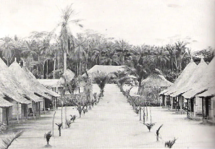
Faradje is a key administrative center in the far northeast of the Democratic Republic of the Congo, located in the Haut-Uele Province along the Dungu River. The town is situated in close proximity to the border with South Sudan and plays a strategic role in cross-border trade and transit. Geographically, the region is characterized by an expansive savanna landscape that gradually transitions into highlands towards the east. Faradje serves as the capital of its namesake territory and is a gathering point for agricultural produce such as maize, cassava, and peanuts, which are grown in the fertile surrounding areas. The town is also a significant base for monitoring the security situation in a region that has historically been affected by transborder tensions and refugee movements. The cultural identity of Faradje is defined by a mix of various ethnic groups, including the Azande and Logo peoples. The town's infrastructure is basic, yet its location makes it an indispensable node for state presence in the far north.
- Location: Congo - Kinshasa
- Nearby: Garamba National Park (58 km)
Best time to visit & climate
The most pleasant time to visit is Jan, Feb, Dec.
| Jan | Feb | Mar | Apr | May | Jun | Jul | Aug | Sep | Oct | Nov | Dec | |
|---|---|---|---|---|---|---|---|---|---|---|---|---|
| Avg °C | 25 | 27 | 26 | 25 | 24 | 23 | 23 | 23 | 23 | 23 | 24 | 24 |
| Rain mm | 25 | 40 | 126 | 187 | 200 | 171 | 171 | 216 | 197 | 213 | 118 | 44 |
Geography
Facts
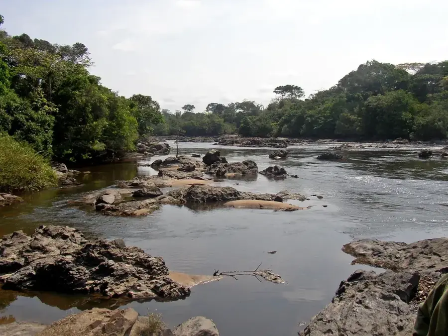
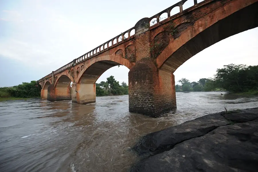
- Located on the banks of the Dungu River
- Strategically close to the South Sudan border
- Administrative center of the Faradje Territory
- Major market for regional agricultural commodities
- Home to the Azande and Logo ethnic groups
- The region is part of the Northern Guinea Savanna
Explore nearby
Notable places around
Route planner — Car & Motorhome
Where do you start? We build the route here, with stops and country notes along the way.
© OpenStreetMap contributors · OpenRouteService
Sights in the town Faradje (1)
Frequently asked questions
Where is Faradje located?
What ethnic groups live in Faradje?
How is the infrastructure in Faradje?
What are the main products of the region?
Is traveling to Faradje safe?
Faradje: where is it located?
Faradje: when is the best time to visit?
Faradje: why is it worth visiting?

Nearby cities
History & landmarks
More places