Plizio Visual Lab
Tambura

ℹ️Practical info — Tambura
▾
🌤 Weather — 5 days
📍 Nearby
Sights nearby
💡 Tips
- Bring reliable rain gear as Tambura is located in a lush, high-rainfall tropical belt.
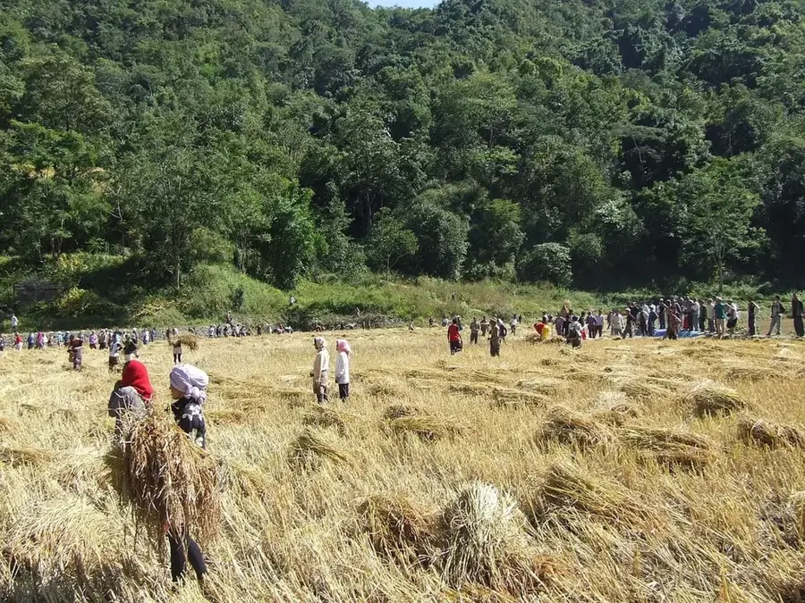
- Learn about the Zande Kingdom's history, which remains a core part of the local identity.
- Travel is most reliable by air, as roads to the rest of Western Equatoria can be very poor.
- Try the local coffee if available; the region has great potential for tropical crops.
- Respect local chiefs and community leaders, as they hold significant influence in the area.
🍽 Food
Cassava is the staple here; try 'pondu' (cassava leaves) cooked with peanuts.
Locally harvested from the dense tropical canopy surrounding the town.
Look for seasonal wild fruits in the market that are unique to this forested region.
🛍 Shopping · 🧘 Quiet spots
Intricately woven baskets, often featuring the distinct dark-and-light patterns of the Zande people.
Look for stools or small bowls carved from local mahogany or ebony.
You can sometimes find locally made palm or nut oils in the market.
The historic mission area often has mature trees and a serene atmosphere.
Walk towards the outskirts to experience the sights and sounds of the deep tropical forest.
Small elevations around the town offer a panoramic view of the green horizon.
Water temperature…
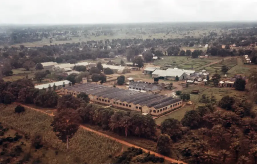
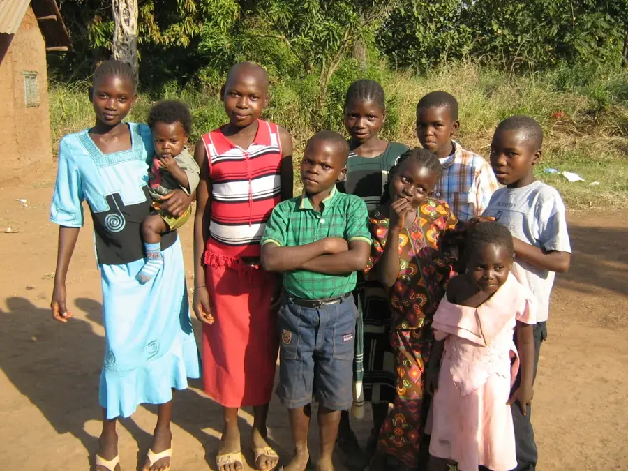
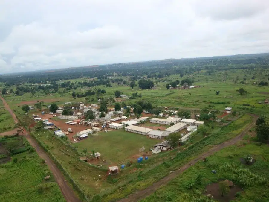
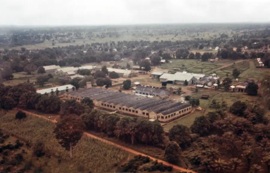
Tambura is a remote yet historically significant town in the far west of South Sudan, situated near the borders with the Central African Republic and the Democratic Republic of the Congo. Located in Western Equatoria State, it serves as the administrative capital of Tambura County. The town is primarily inhabited by the Azande people, whose rich cultural heritage and traditional systems of royalty continue to exert a strong influence on local life. Geographically, Tambura lies within a tropical rainforest climate zone, resulting in dense vegetation and high potential for the cultivation of coffee, cocoa, and various tropical fruits. Historically, the town functioned as a vital outpost during the colonial era and a hub for trade in the tri-border region. In recent years, Tambura has faced severe challenges due to localized inter-ethnic conflict and displacement. Despite its isolation, the town remains a critical location for regional security and cross-border socio-economic interaction.
- Location: South Sudan
- Nearby: Nagero (53 km)
- Population: ~9.500 (2022)
Best time to visit & climate
The most pleasant time to visit is Jan, Nov, Dec.
| Jan | Feb | Mar | Apr | May | Jun | Jul | Aug | Sep | Oct | Nov | Dec | |
|---|---|---|---|---|---|---|---|---|---|---|---|---|
| Avg °C | 26 | 29 | 29 | 27 | 26 | 25 | 24 | 24 | 25 | 25 | 26 | 26 |
| Rain mm | 8 | 13 | 58 | 145 | 201 | 182 | 165 | 198 | 170 | 176 | 34 | 12 |
Geography
Facts
- Primary hub for the Azande ethnic community
- Located near the tri-border point with CAR and DRC
- Administrative headquarters of Tambura County
- Characterized by a lush tropical rainforest environment
- Significant center for coffee and tobacco production
- Home to Tambura Airport with the IATA code TUA
Explore nearby
Notable places around
Route planner — Car & Motorhome
Where do you start? We build the route here, with stops and country notes along the way.
© OpenStreetMap contributors · OpenRouteService
Sights in the town Tambura (1)
Frequently asked questions
What characterizes Tambura?
Is it touristic?
Is there nature?
What is accessibility like?
Is there Wi-Fi?
Tambura: where is it located?
Tambura: when is the best time to visit?
Tambura: why is it worth visiting?

Nearby cities

History & landmarks
More places