Plizio Visual Lab
Nagero

ℹ️Practical info — Nagero
▾
🌤 Weather — 5 days
📍 Nearby
Sights nearby
💡 Tips
- Focus your visit around the River Sue, which is the lifeblood of the local community.
- Sample the local groundnuts; Nagero is known for producing some of the best in the state.
- Always coordinate with local leaders to ensure you are following safe and respected paths.
- The shade of large mango trees serves as the primary social and rest spot during the day.
- Carry all necessary supplies, as local shops often have very limited stock.
🍽 Food
Freshly caught fish from the river, usually grilled or smoked over open fires.
Locally ground peanut butter, used as a rich base for many stews.
A simple, hearty meal often served with seasonal greens or peanut sauce.
🛍 Shopping · 🧘 Quiet spots
Small but authentic market for fresh groundnuts, sesame, and local grains.
Traditional hand-woven mats made from locally harvested grasses.
Tranquil areas along the water, excellent for birdwatching and peaceful reflection.
Shady spots outside the town center that offer a natural cool breeze.
Water temperature…
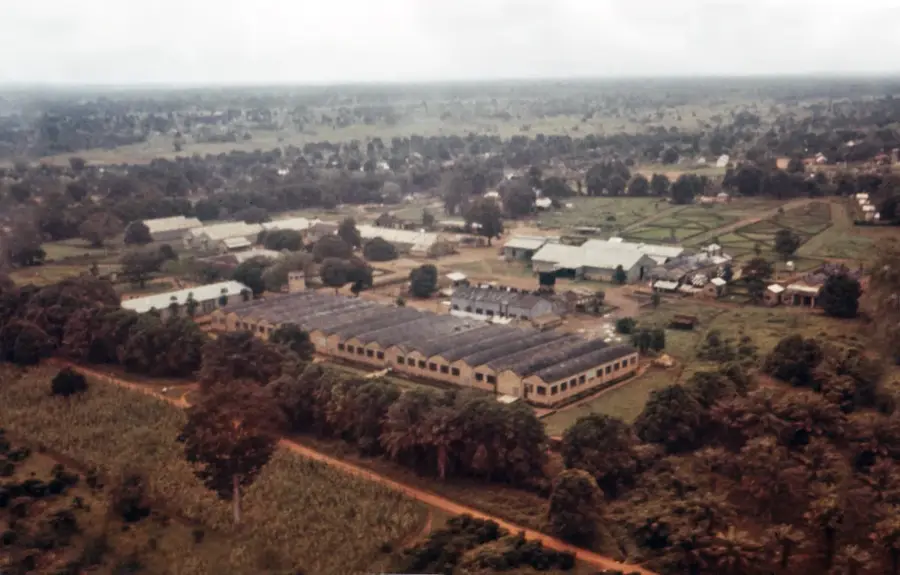
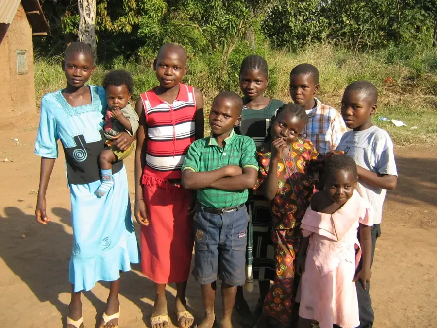
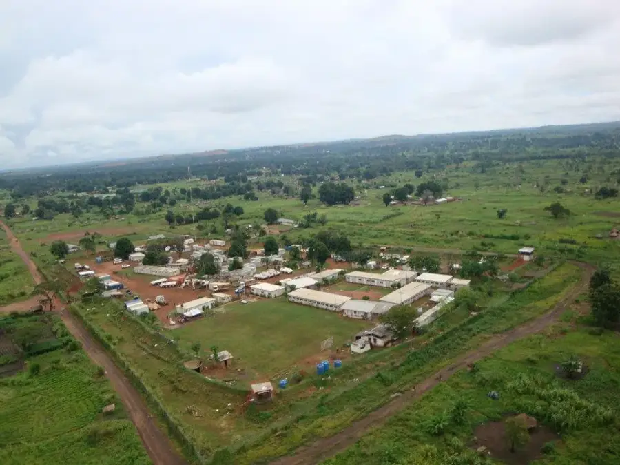
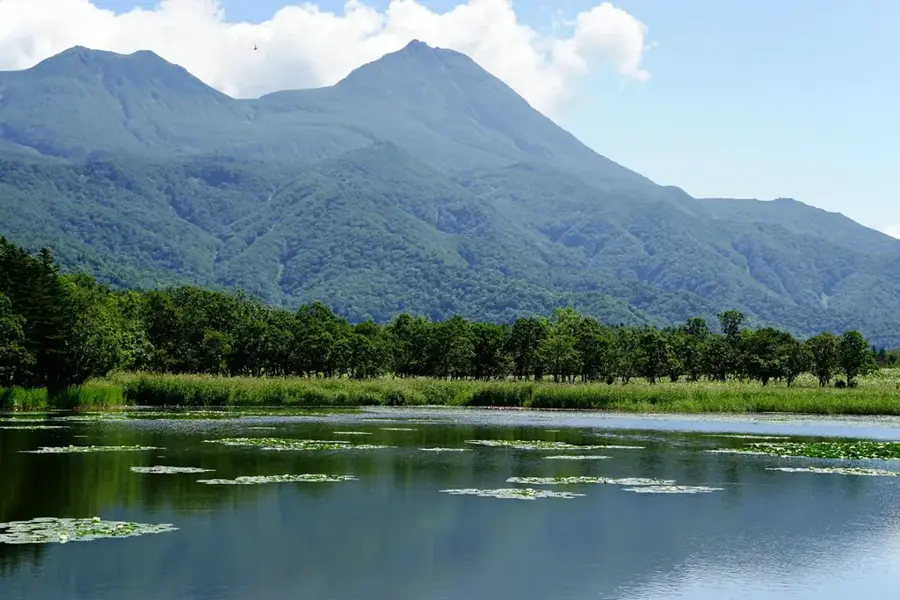
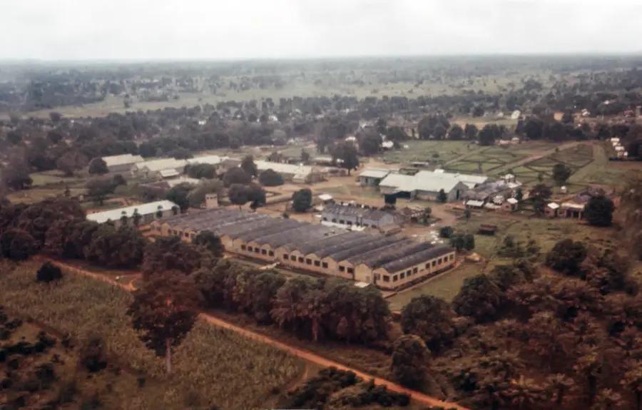
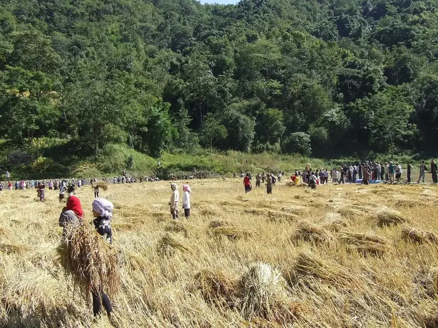
Nagero is a remote town located in the northern part of Western Equatoria State, South Sudan. The settlement is situated in a region defined by vast savannas and dense woodlands, which often makes road access difficult during the rainy season. Historically, Nagero's isolated location shielded it from some of the large-scale combat seen in other regions during the civil war, though it suffered significantly from infrastructure neglect and a lack of basic services. The local economy is built on subsistence agriculture and the collection of forest products, with cassava, millet, and wild honey being the primary outputs. In recent years, the town has become an important sanctuary for internally displaced persons fleeing violence in the more volatile northern regions of the country. The community in Nagero is noted for its strong social cohesion and the preservation of traditional farming techniques. International aid agencies occasionally utilize Nagero as a staging point for distributing food and medical supplies to the underserved border areas between Western Equatoria and Western Bahr el Ghazal states.
- Location: South Sudan
- Nearby: Tambura (53 km)
Best time to visit & climate
The most pleasant time to visit is Jan, Nov, Dec.
| Jan | Feb | Mar | Apr | May | Jun | Jul | Aug | Sep | Oct | Nov | Dec | |
|---|---|---|---|---|---|---|---|---|---|---|---|---|
| Avg °C | 27 | 29 | 29 | 27 | 26 | 25 | 25 | 24 | 25 | 25 | 26 | 26 |
| Rain mm | 9 | 13 | 58 | 138 | 189 | 181 | 153 | 193 | 175 | 166 | 40 | 15 |
Geography
Facts
- Nagero serves as the administrative headquarters for Nagero County in Western Equatoria State.
- The town is located approximately 550 kilometers from the capital Juba by air.
- The elevation of Nagero is approximately 580 meters above sea level.
- The annual rainy season in this region typically spans from May to October.
- The majority of the inhabitants belong to the Balanda or Azande ethnic groups.
- There are no paved roads connecting Nagero to the nearest major urban centers.
Explore nearby
Notable places around
Route planner — Car & Motorhome
Where do you start? We build the route here, with stops and country notes along the way.
© OpenStreetMap contributors · OpenRouteService
Frequently asked questions
What is special about Nagero?
How do you travel to Nagero?
Are there attractions nearby?
What is the best time to visit Nagero?
What should I pack for a trip?
Nagero: where is it located?
Nagero: when is the best time to visit?
Nagero: why is it worth visiting?

Nearby cities


History & landmarks
More places