Plizio Visual Lab
Zande Threshold

Weather…
Water temperature…
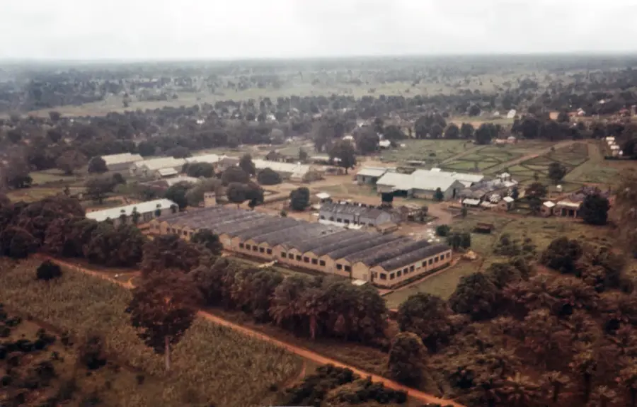
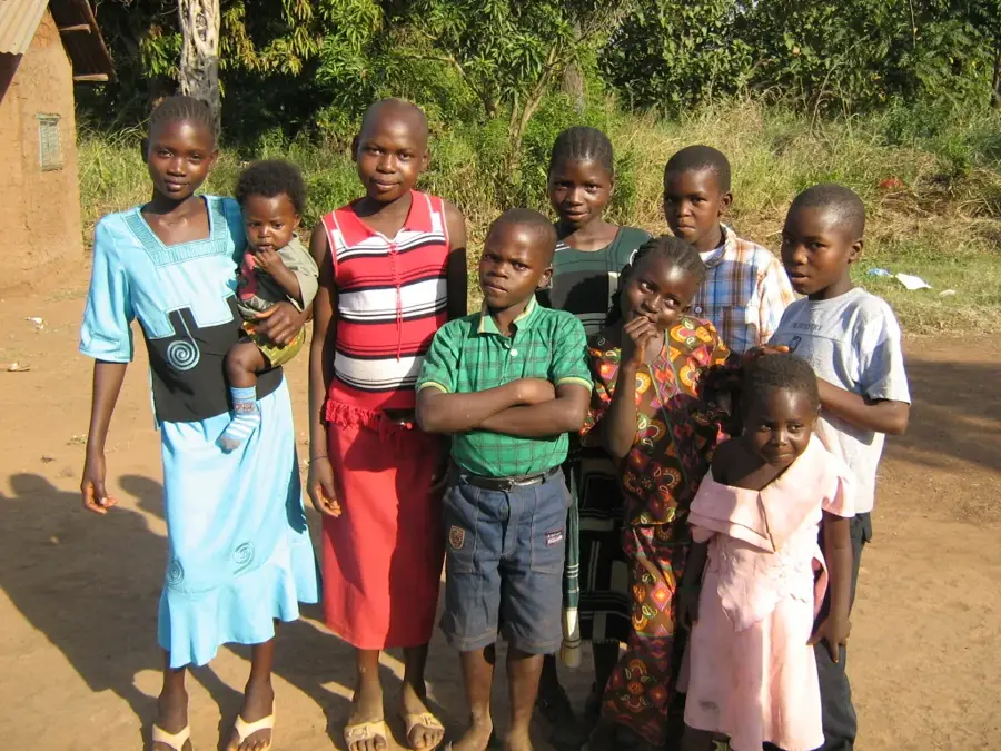
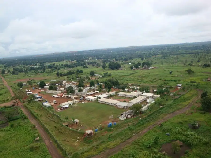
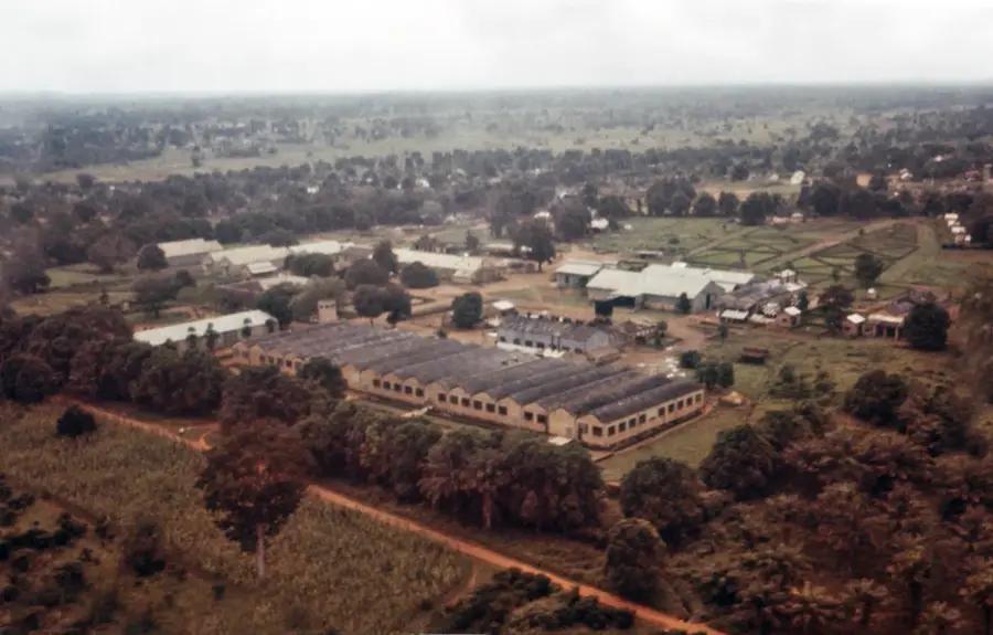
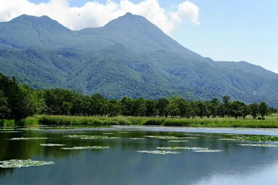
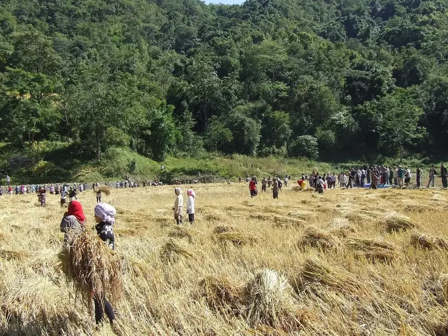
The Zande Threshold, also known as the Azande Plateau, is a vast upland region in southwestern South Sudan that dominates Western Equatoria State. It forms a continental-scale geographical divide between the massive basins of the Nile and Congo rivers. The threshold sits at elevations ranging from 600 to 1000 meters and is characterized by undulating terrain with distinctive ironstone (laterite) plateaus. It is named after the Azande people, who have inhabited this region for centuries and are noted for their sophisticated social organization and historical resilience. The vegetation is a mosaic of moist savanna and dense gallery forests found along the numerous watercourses. Geologically, the area is composed of ancient Precambrian basement rocks covered by thick layers of iron-rich crust. Historically, the Zande Threshold was the heart of powerful African kingdoms, such as that of King Gbudwe, and today it continues to be a central cultural and agricultural hub for South Sudan.
- Location: South Sudan
- Nearby: Nzara (44 km)
Best time to visit & climate
The most pleasant time to visit is Jan, Nov, Dec.
| Jan | Feb | Mar | Apr | May | Jun | Jul | Aug | Sep | Oct | Nov | Dec | |
|---|---|---|---|---|---|---|---|---|---|---|---|---|
| Avg °C | 27 | 29 | 28 | 27 | 25 | 25 | 24 | 24 | 25 | 25 | 25 | 26 |
| Rain mm | 12 | 24 | 66 | 153 | 181 | 181 | 162 | 198 | 174 | 153 | 66 | 22 |
📋 Practical info
Geography
Facts
- The Zande Threshold is the primary watershed between the Nile and Congo basins.
- Elevation across the plateau varies from 600 to 1000 meters above sea level.
- The geology is dominated by an ancient ironstone shield.
- The Azande people, who give the region its name, have a rich warrior history.
- Gallery forests along the rivers contain rare tropical hardwood species.
- The region is historically significant for its resistance to 19th-century expansionism.
Explore nearby
Notable places around
Route planner — Car & Motorhome
Where do you start? We build the route here, with stops and country notes along the way.
© OpenStreetMap contributors · OpenRouteService
Sights nearby
Frequently asked questions
Is Zande-Schwelle suitable for families?
What footwear is best?
Is there an entry fee?
Is photography allowed?
How long does an exploration take?
Zande Threshold: where is it located?
Zande Threshold: when is the best time to visit?
Zande Threshold: why is it worth visiting?

Nearby cities

History & landmarks
More places