Plizio Visual Lab
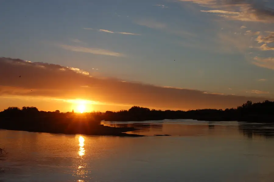
Orange River Mouth
Weather…
Water temperature…
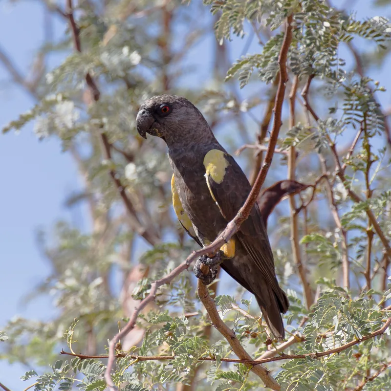
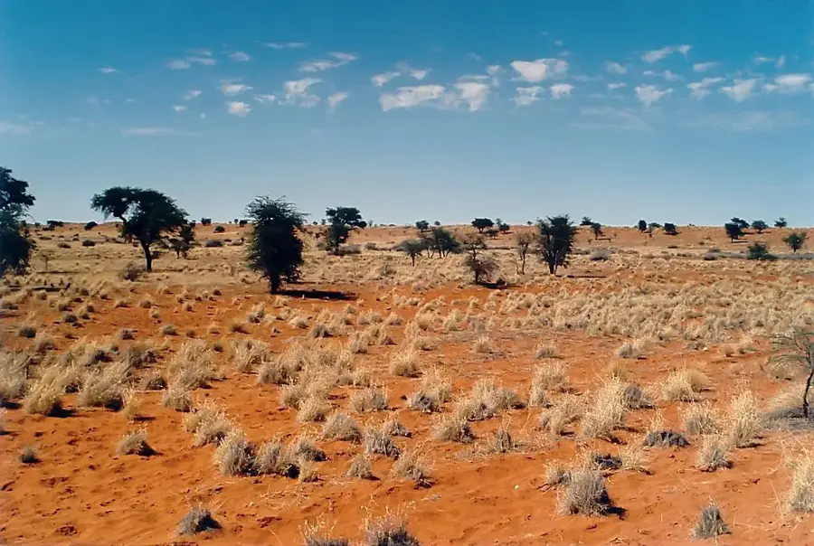
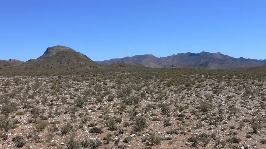
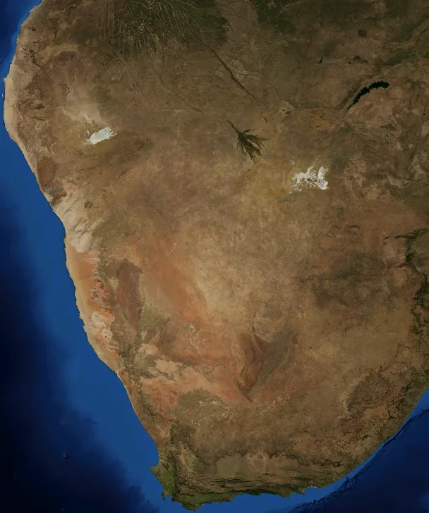
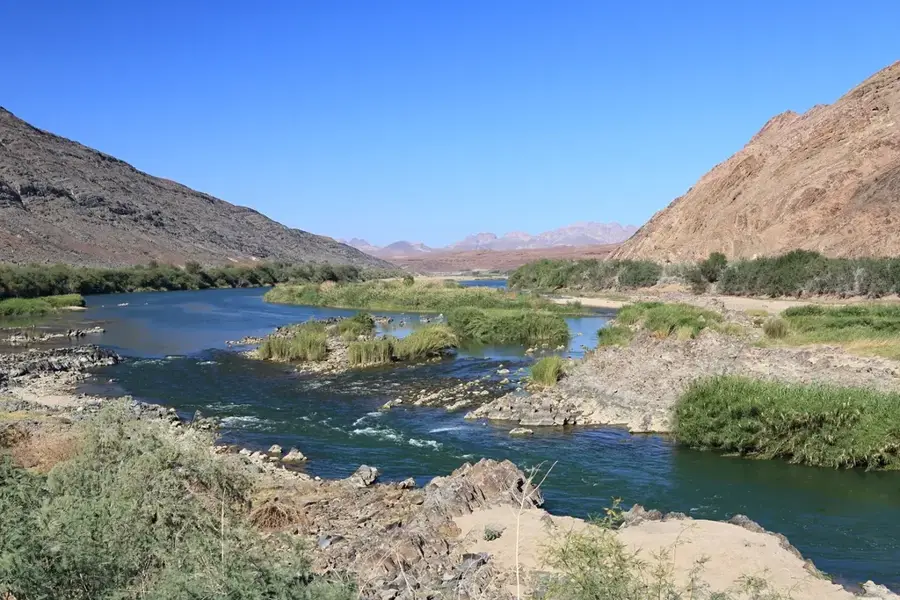
The mouth of the Orange River, situated on the border between South Africa and Namibia, is an ecologically sensitive wetland of immense international importance. Designated as a Ramsar site in 1995, it protects a complex system of sandbanks, lagoons, and salt marshes that stand in stark contrast to the surrounding Namib Desert. The river travels over 2,000 kilometers before discharging into the Atlantic Ocean here, depositing vast amounts of nutrient-rich sediment. This delta serves as a vital stopover and breeding ground for up to 25,000 waterbirds, including lesser flamingos and the endangered Damara tern. The vegetation consists of salt-tolerant species that help stabilize the delicate balance between freshwater and seawater. Historically, the region is inextricably linked to diamond mining, as the river has transported gemstones from the interior to the coast over millions of years. The town of Alexander Bay is the primary gateway for exploring this remote natural sanctuary. Despite industrial mining influences, the mouth remains a critical habitat for marine fauna, with seals and dolphins frequently spotted in the coastal waters. Preserving this ecosystem is a high conservation priority due to the challenges posed by climate change and upstream water extraction.
Best time to visit & climate
The most pleasant time to visit is Jan–Mar.
| Jan | Feb | Mar | Apr | May | Jun | Jul | Aug | Sep | Oct | Nov | Dec | |
|---|---|---|---|---|---|---|---|---|---|---|---|---|
| Avg °C | 19 | 20 | 19 | 18 | 17 | 15 | 15 | 14 | 15 | 17 | 18 | 19 |
| Rain mm | 5 | 6 | 4 | 8 | 5 | 7 | 7 | 8 | 3 | 5 | 8 | 2 |
📋 Practical info
Geography
Facts
- Designated as an international Ramsar wetland since 1995.
- Forms the official border between South Africa and Namibia.
- Transports millions of tons of sediment to the Atlantic annually.
- Critical breeding site for the endangered Damara tern.
- Famed for having the world's richest alluvial diamond deposits.
- Supports up to 25,000 waterbirds during peak seasons.
Explore nearby
Notable places around
Route planner — Car & Motorhome
Where do you start? We build the route here, with stops and country notes along the way.
© OpenStreetMap contributors · OpenRouteService
Sights in the town Orange River Mouth (1)
Sights nearby
Frequently asked questions
What is special about the mouth?
Can you watch birds there?
When is the best time?
How do you get there?
Do I need a permit?
Orange River Mouth: where is it located?
Orange River Mouth: when is the best time to visit?
Orange River Mouth: why is it worth visiting?

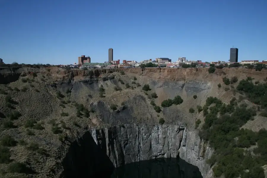
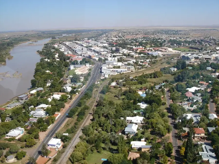
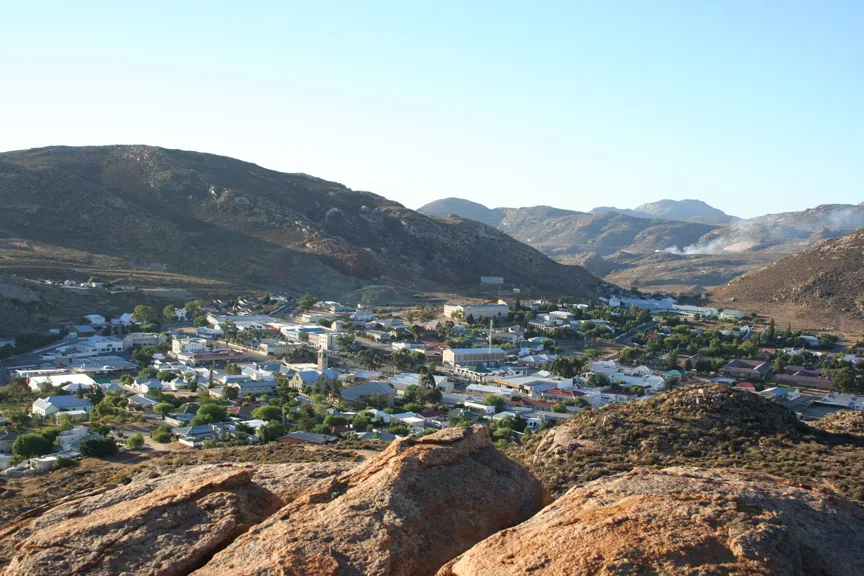
Nearby cities

History & landmarks
Nature
More places