Plizio Visual Lab
Augrabies Falls
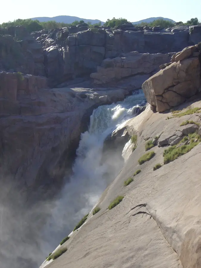
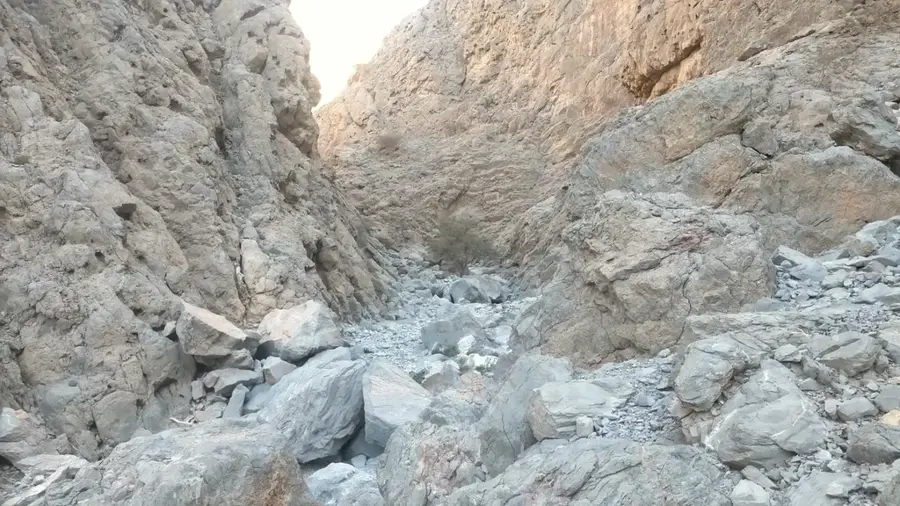
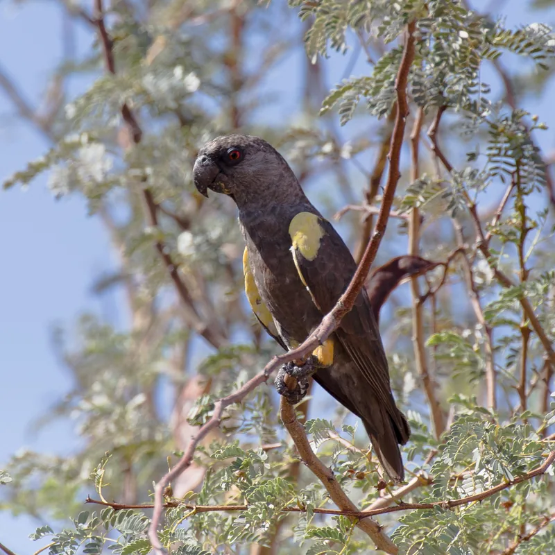
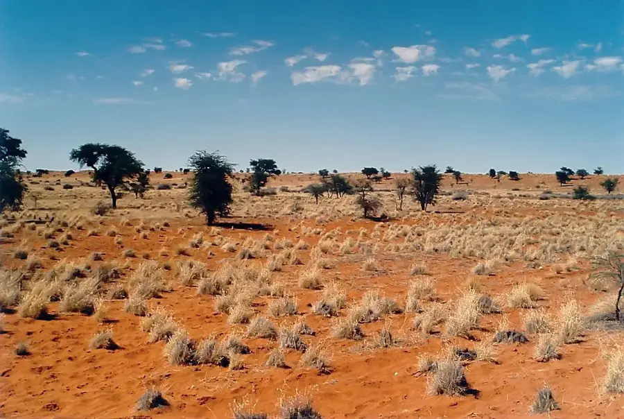
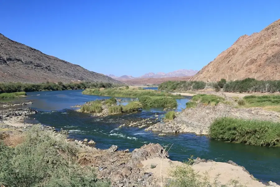
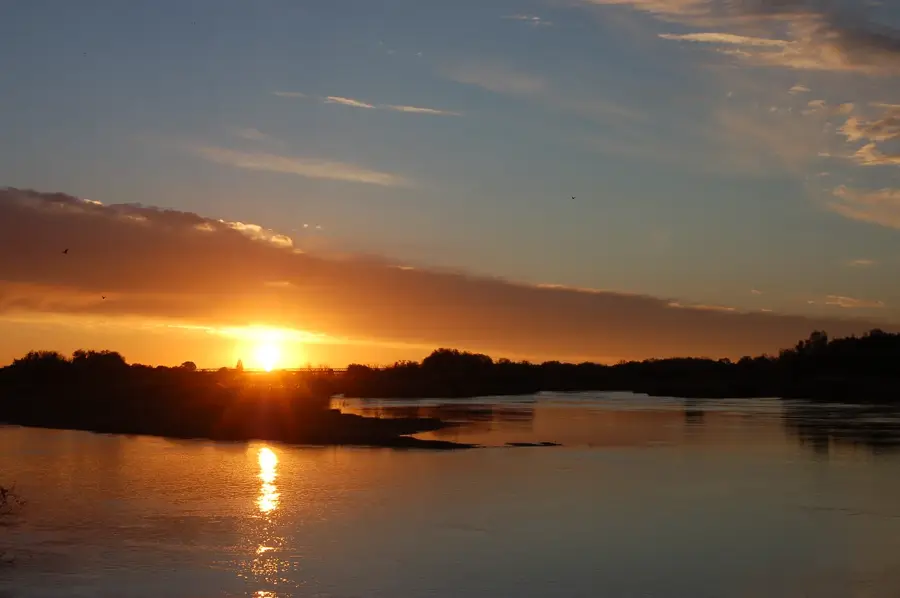
Augrabies Falls is located on the Orange River in the Northern Cape province and forms the centerpiece of the Augrabies Falls National Park, established in 1966. With a drop of 56 meters, the river plunges through a narrow granite gorge, creating an impressive natural spectacle, especially during high-flow periods. The name originates from the Khoi word 'Aukoerebis', meaning 'place of great noise', referring to the powerful acoustics of the falling water. The gorge below the falls extends for 18 kilometers and reaches depths of up to 240 meters, bearing witness to thousands of years of river erosion. In the arid environment of the park, specialized species like the klipspringer and the rare Augrabies flat lizard have adapted to the heat. Botanically, the region is famous for the quiver tree (Aloe dichotoma), which thrives on the rocky slopes. Visitors can view the falls from several observation points, including 'Moon Rock', which has a panoramic view of the stark desert landscape. The park is a significant refuge for the endangered black rhinoceros and features various hiking trails through the rugged granite terrain.
- Location: South Africa
- Top sights: Melkbosrant Lookout · Oranjekom Viewpoint · Echo Corner
- Nearby: Upington (89 km)
Best time to visit & climate
The most pleasant time to visit is Apr, Sep, Oct.
| Jan | Feb | Mar | Apr | May | Jun | Jul | Aug | Sep | Oct | Nov | Dec | |
|---|---|---|---|---|---|---|---|---|---|---|---|---|
| Avg °C | 29 | 28 | 26 | 21 | 17 | 12 | 12 | 14 | 18 | 22 | 25 | 27 |
| Rain mm | 29 | 27 | 30 | 20 | 10 | 4 | 2 | 2 | 3 | 7 | 11 | 15 |
📋 Practical info
Geography
Facts
- The main waterfall has a height of 56 meters.
- The name 'Aukoerebis' comes from the Khoi language.
- The National Park was officially established in 1966.
- The granite gorge extends for about 18 kilometers.
- Home to the endemic Augrabies flat lizard.
- Moon Rock is a massive granite dome within the park.
Route planner — Car & Motorhome
Where do you start? We build the route here, with stops and country notes along the way.
© OpenStreetMap contributors · OpenRouteService
Sights in the town Augrabies Falls (6)
Sights nearby
Frequently asked questions
What is special?
When is water level best?
Is it a long drive?
Are there hikes?
Is it family-friendly?
Augrabies Falls: where is it located?
Augrabies Falls: what is there to see?
Augrabies Falls: when is the best time to visit?
Augrabies Falls: why is it worth visiting?

Nearby cities


History & landmarks
Nature
More places