Plizio Visual Lab
Kalahari Basin
Weather…
Water temperature…
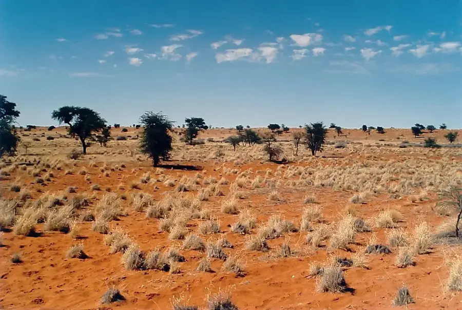
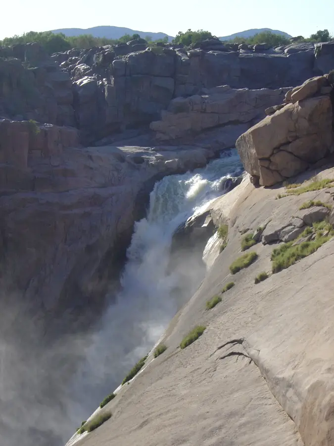
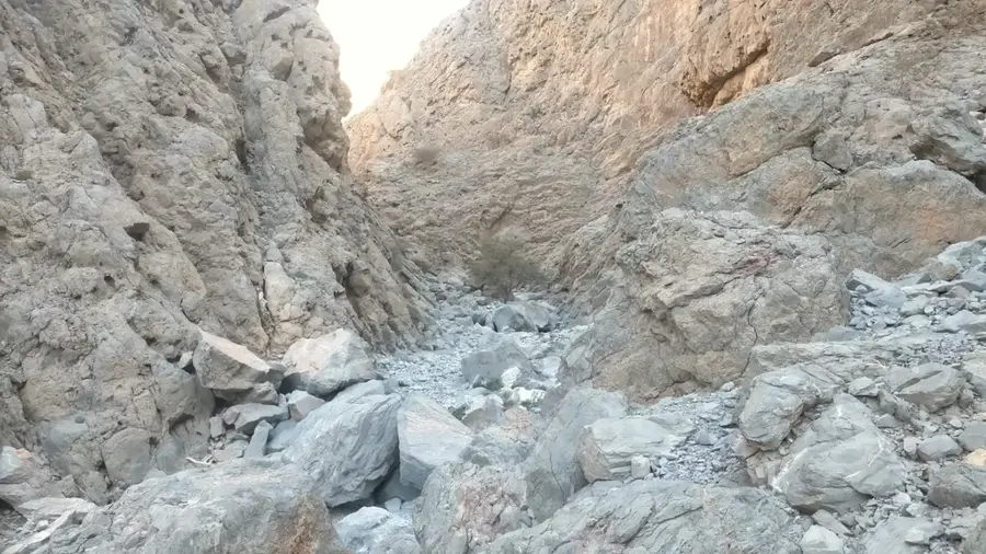
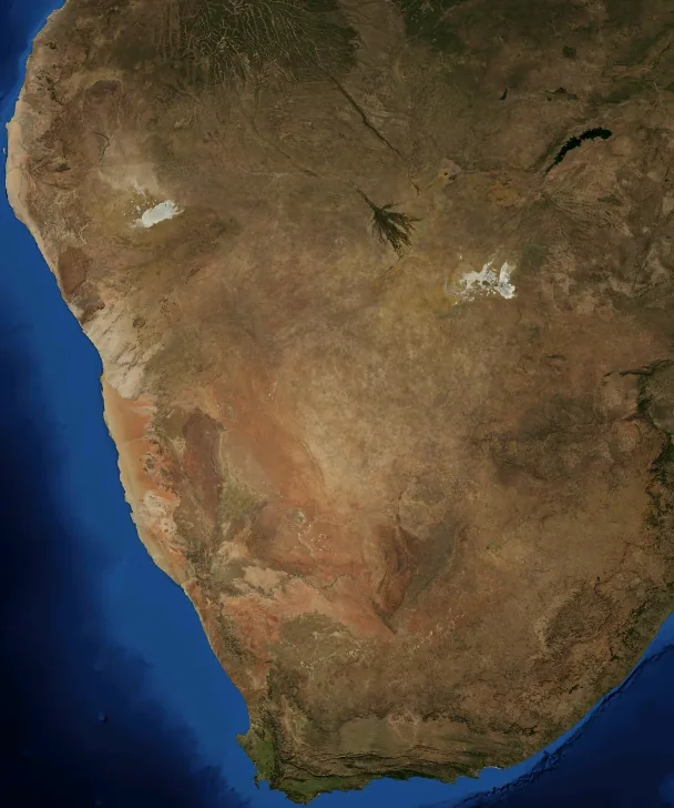
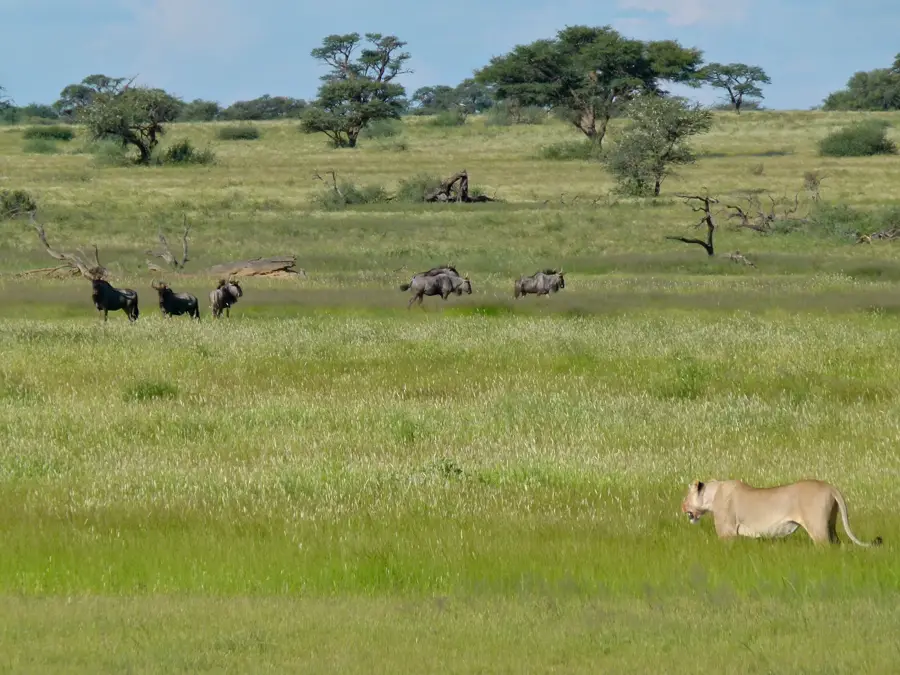
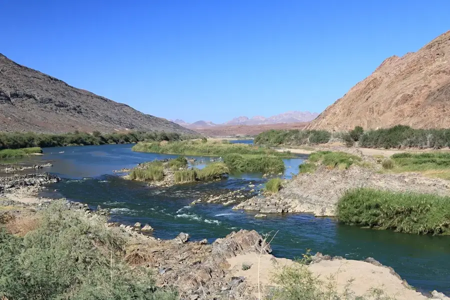
The Kalahari Basin is a vast endorheic depression covering about 2.5 million square kilometers across South Africa, Namibia, and Botswana. Although commonly referred to as a desert, the Kalahari is technically a semi-desert or arid savanna because it receives more rainfall than a true desert like the Namib. The basin is characterized by its extensive cover of reddish sand, colored by iron oxide, which forms long, stabilized longitudinal dunes. Within this sandy expanse lie fossil riverbeds and salt pans, such as those found in the Kgalagadi Transfrontier Park, which are remnants of a much wetter prehistoric climate. Vegetation consists mainly of hardy acacias and perennial grasses that can withstand long periods of drought. The Kalahari is the ancestral home of the San people, who have lived as hunter-gatherers here for tens of thousands of years, mastering the art of finding water and food in the scrubland. Ikon wildlife includes the black-maned Kalahari lion, meerkats, and vast herds of springbok and gemsbok.
Best time to visit & climate
The most pleasant time to visit is Apr, May, Sep.
| Jan | Feb | Mar | Apr | May | Jun | Jul | Aug | Sep | Oct | Nov | Dec | |
|---|---|---|---|---|---|---|---|---|---|---|---|---|
| Avg °C | 29 | 28 | 26 | 22 | 18 | 13 | 13 | 15 | 20 | 24 | 26 | 28 |
| Rain mm | 43 | 44 | 32 | 28 | 7 | 2 | 0 | 1 | 2 | 14 | 21 | 37 |
📋 Practical info
Geography
Facts
- The Kalahari Basin covers roughly 2.5 million square kilometers of land.
- Kalahari sands are the largest continuous body of sand in the world.
- Annual rainfall ranges from 110mm in the south to 500mm in the north.
- The basin contains the world's largest inland delta, the Okavango Delta.
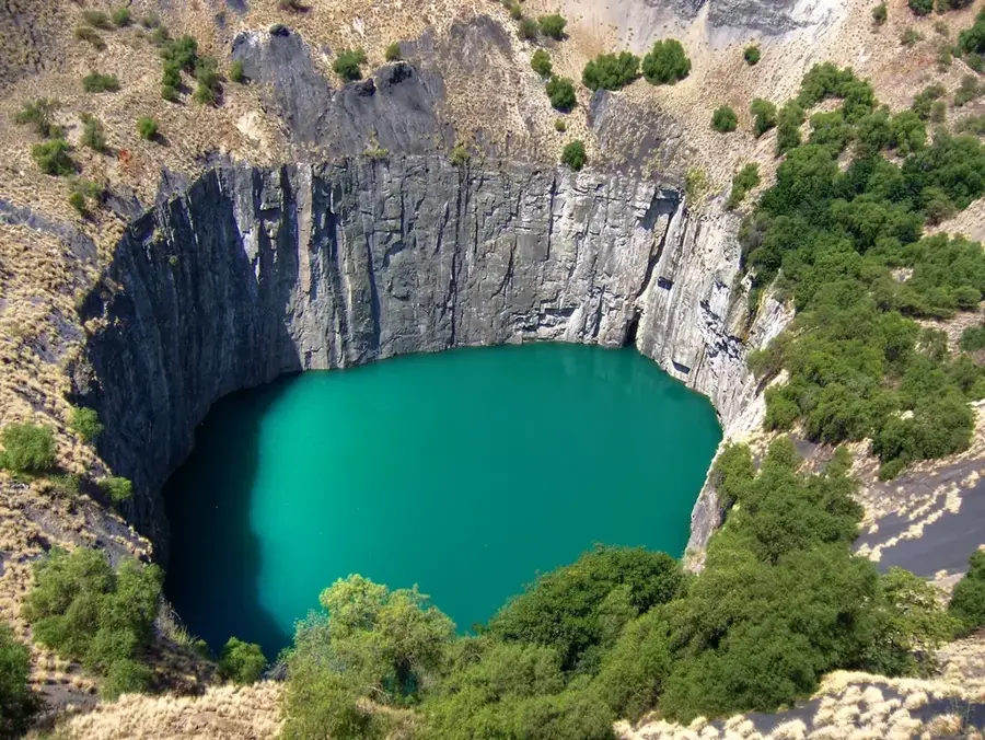
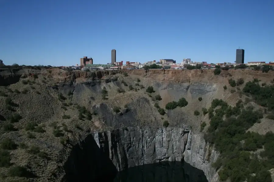
- Tswaing Meteorite Crater is located near the eastern edge of the basin.
- The Kalahari supports the San people, the oldest continuous culture on Earth.
Explore nearby
Notable places around
Route planner — Car & Motorhome
Where do you start? We build the route here, with stops and country notes along the way.
© OpenStreetMap contributors · OpenRouteService
Sights nearby
Frequently asked questions
What is special about the Kalahari Basin?
Can one explore the Kalahari Basin individually?
How is the water supply on site?
Are there camping opportunities there?
When is the best time for wildlife viewing?
Kalahari Basin: where is it located?
Kalahari Basin: when is the best time to visit?
Kalahari Basin: why is it worth visiting?

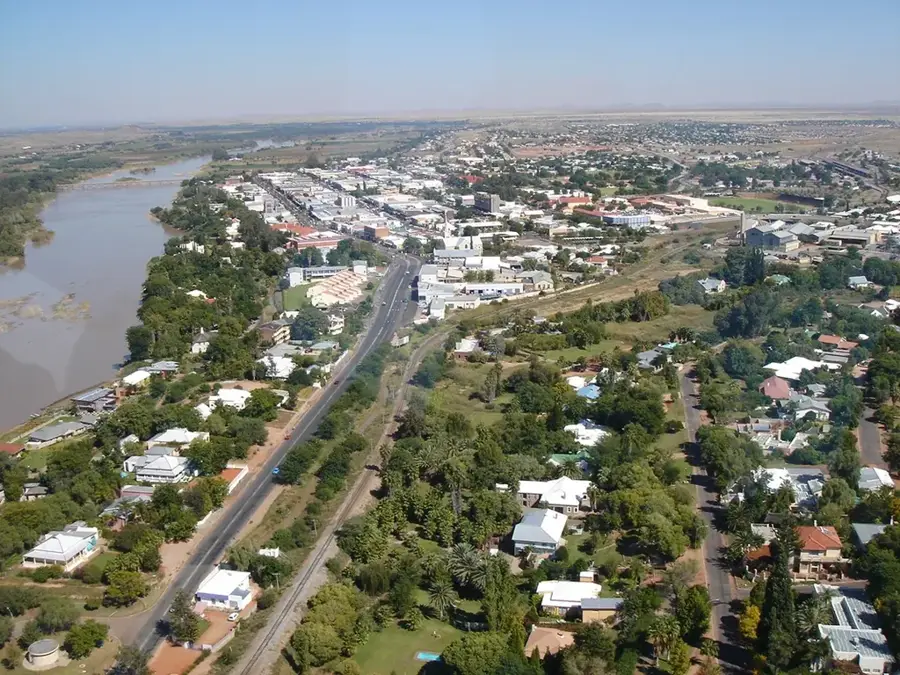
Nearby cities
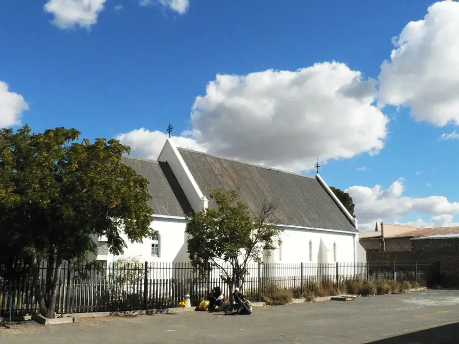
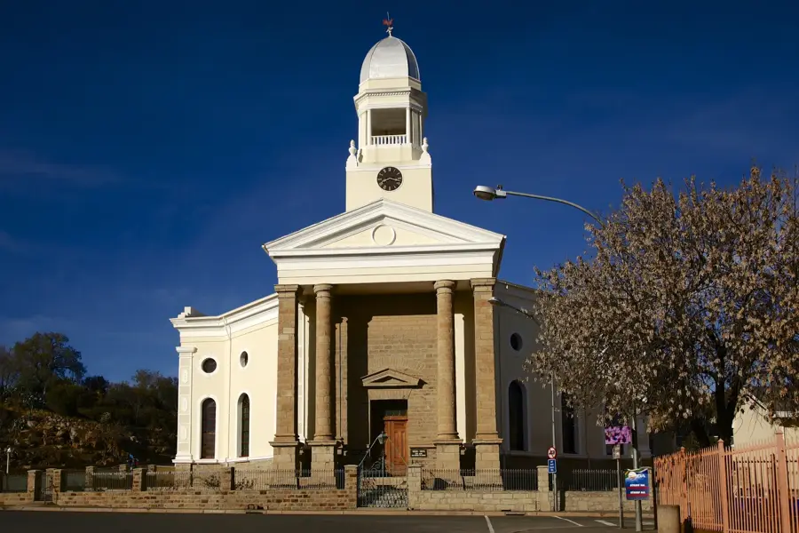
History & landmarks
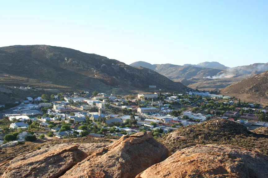
Nature
More places