Plizio Visual Lab
Lechtal Alps
Weather…
Water temperature…
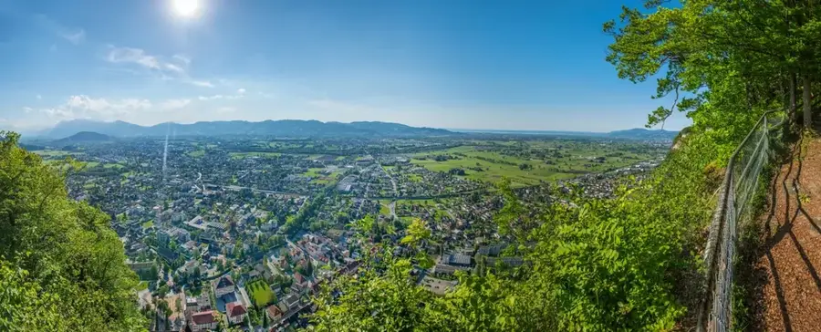
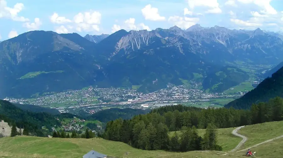
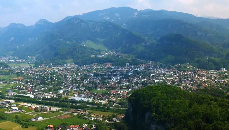
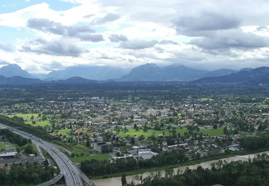
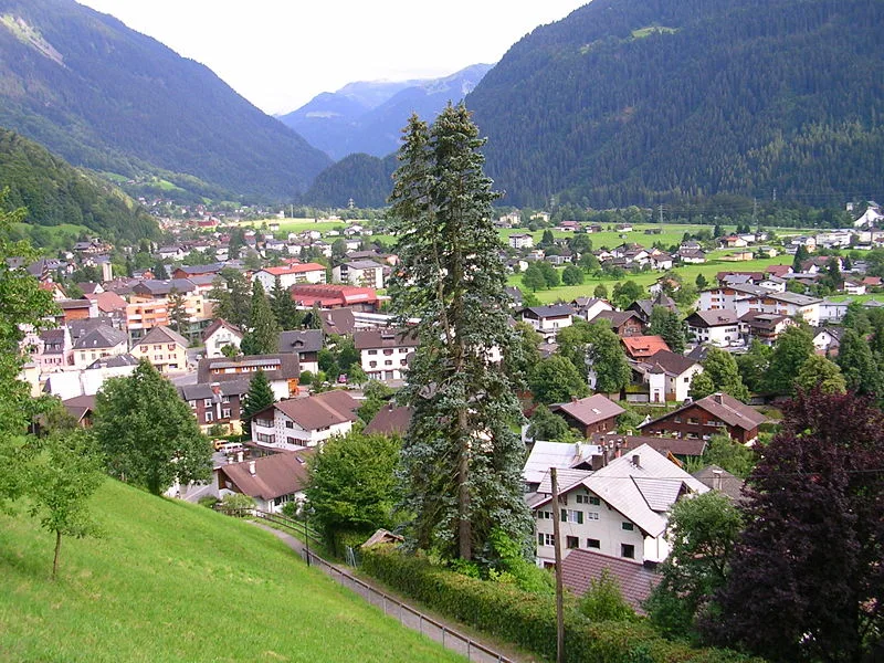
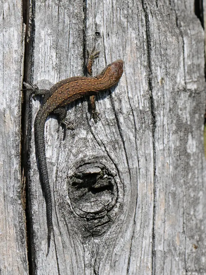
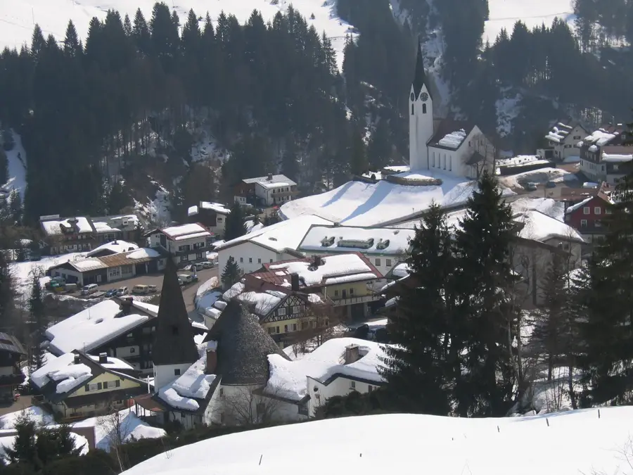
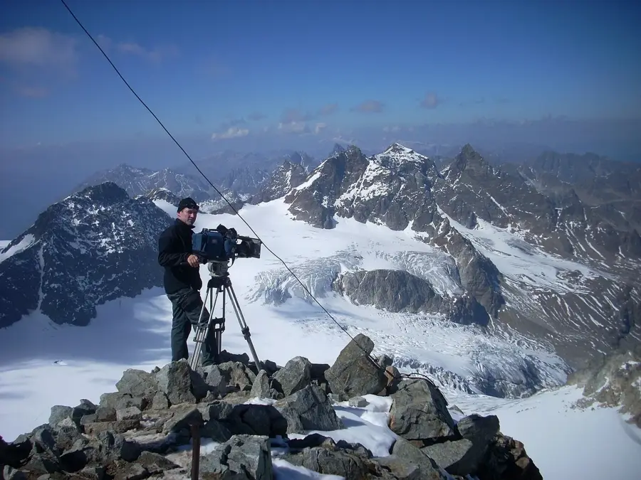
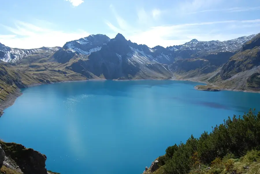
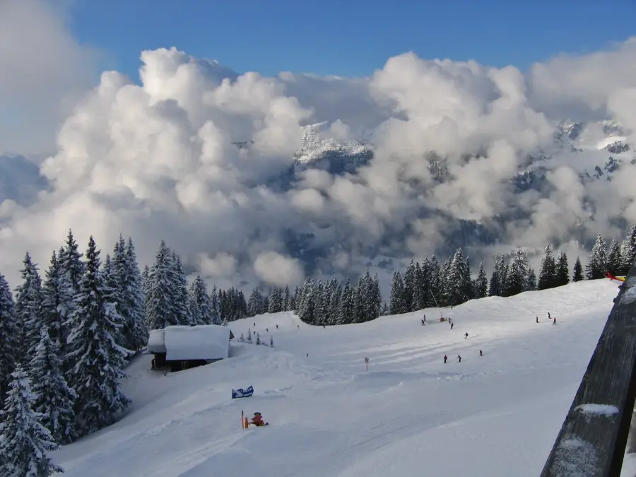
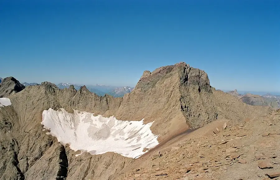
The Lechtal Alps are the longest and highest mountain group of the Northern Limestone Alps, located in the Austrian federal states of Tyrol and Vorarlberg. With the Parseierspitze reaching an altitude of 3036 meters, they host the only three-thousand-meter peak in this mountain region. Geologically, the group is very diversely structured, with main dolomite being the dominant rock, though spotted marl and radiolarite also occur. This complex structure leads to a varied topography with rugged peaks, deeply cut valleys, and vast alpine meadows. The area is sparsely populated and has thus preserved a very primal character, making it a popular destination for long-distance hikers on the Adlerweg trail. Flora and fauna are typically alpine, with the golden eagle and the marmot finding well-suited living conditions here. Tourism development focuses on mountain hiking and climbing, with numerous alpine club huts serving as bases. Accessibility is provided by the Lechtal road in the north and the Arlberg region in the south, facilitating access to various starting points. Due to the steepness of the slopes, the mountain range is a challenge for ski tourers in winter, requiring great experience in avalanche assessment.
- Location: Vorarlberg, Austria
- Top sights: Zwölferspitze · Seekogel · Leiterspitze
- Nearby: Landeck (12 km)
Best time to visit & climate
The most pleasant time to visit is Jun–Aug.
| Jan | Feb | Mar | Apr | May | Jun | Jul | Aug | Sep | Oct | Nov | Dec | |
|---|---|---|---|---|---|---|---|---|---|---|---|---|
| Avg °C | -9 | -9 | -5 | 1 | 5 | 9 | 11 | 11 | 7 | 3 | -3 | -8 |
| Rain mm | 64 | 50 | 67 | 75 | 126 | 152 | 151 | 167 | 106 | 85 | 72 | 65 |
📋 Practical info
Geography
Facts
- Parseierspitze is the highest peak of the group at 3036 meters.
- It is the only mountain group in the Northern Limestone Alps with a 3000m peak.
- The Adlerweg long-distance trail passes through the Lechtal Alps in several stages.
- The mountain range extends over a length of approximately 60 kilometers.
- The Muttekopf is a well-known panoramic peak above the town of Imst.
- The region is known for its particularly steep grassy slopes.
Explore nearby
Notable places around
Route planner — Car & Motorhome
Where do you start? We build the route here, with stops and country notes along the way.
© OpenStreetMap contributors · OpenRouteService
Sights in the town Lechtal Alps (6)
Sights nearby
Frequently asked questions
What is the highest mountain in the Lechtal Alps?
Are the Lechtal Alps developed for tourism?
Is there a long-distance hiking trail?
When is the best time for hiking?
Which rock type dominates here?
Lechtal Alps: where is it located?
Lechtal Alps: what is there to see?
Lechtal Alps: when is the best time to visit?
Lechtal Alps: why is it worth visiting?

Nearby cities