Plizio Visual Lab
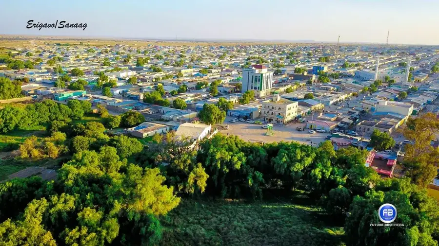
Karkar Mountains

Weather…
Water temperature…
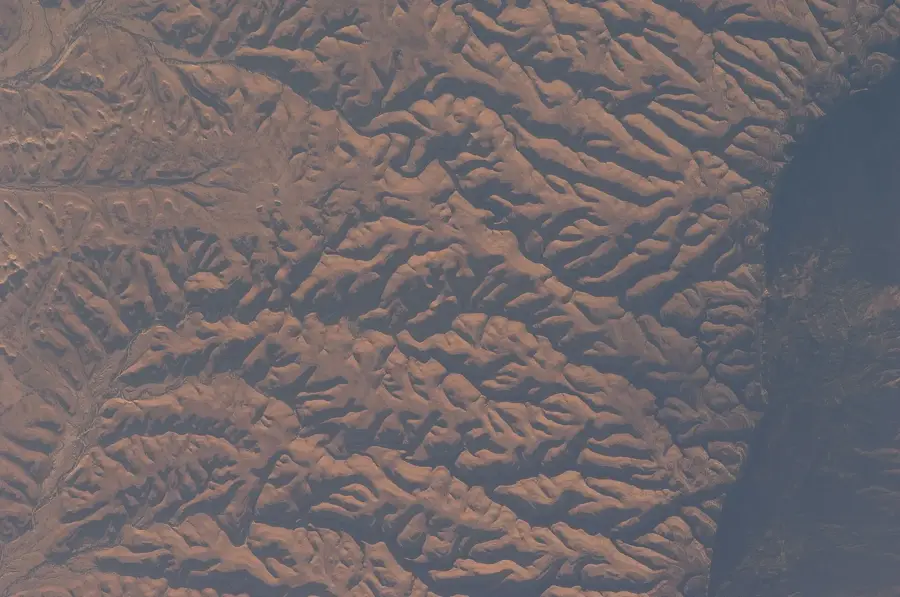
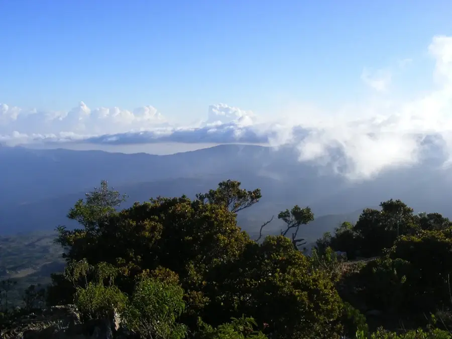
The Karkar Mountains, also known as Cal Madow, represent one of the most significant mountain ranges in northern Somalia, extending through the Sanaag and Bari regions. This rugged highland area is part of the larger Ogo Mountains system and is characterized by steep limestone and sandstone cliffs that rise sharply from the coastal plains of the Gulf of Aden. The range is ecologically unique within the Horn of Africa, hosting remnant montane forests of juniper and boxwood at higher elevations. These forests are vital for biodiversity and serve as a primary source of frankincense and myrrh resins, which have been traded internationally for millennia. Geologically, the Karkar Mountains were formed through tectonic activity related to the East African Rift, resulting in a complex landscape of deep gorges and high plateaus. The highest peaks reach elevations exceeding 2,400 meters, influencing local climate patterns by capturing moisture from monsoon winds. This creates a cooler, more humid environment compared to the surrounding semi-arid lowlands, supporting specialized flora and fauna.
- Location: Somalia
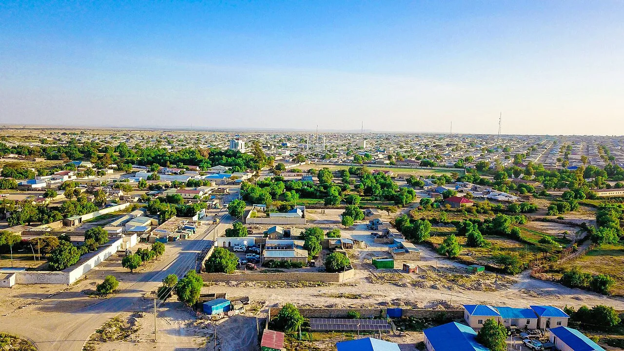
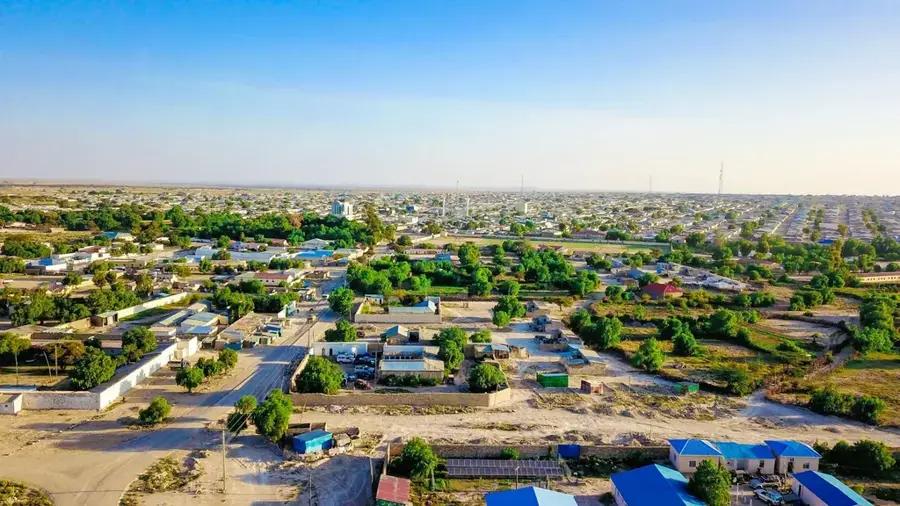
- Nearby: Erigavo (49 km)
Best time to visit & climate
The most pleasant time to visit is Jan, Feb, Dec.
| Jan | Feb | Mar | Apr | May | Jun | Jul | Aug | Sep | Oct | Nov | Dec | |
|---|---|---|---|---|---|---|---|---|---|---|---|---|
| Avg °C | 21 | 22 | 24 | 25 | 26 | 25 | 24 | 25 | 26 | 24 | 22 | 21 |
| Rain mm | 1 | 2 | 7 | 38 | 28 | 34 | 9 | 25 | 21 | 21 | 16 | 3 |
📋 Practical info
Geography
Facts
- The highest peak is Shimbiris at 2,416 meters above sea level.
- The range contains significant deposits of limestone and gypsum.
- The area is a major global source of Boswellia sacra (frankincense).
- Average annual rainfall in the highlands is approximately 400-600 mm.
- The mountains are part of the Golis Range geological formation.
- Historical trade routes through the range linked the interior to the port of Bosaso.
Explore nearby
Notable places around
Route planner — Car & Motorhome
Where do you start? We build the route here, with stops and country notes along the way.
© OpenStreetMap contributors · OpenRouteService
Sights in the town Karkar Mountains (1)
Sights nearby
Frequently asked questions
Are the Karkar Mountains safe for hikers?
Which season is best for the mountains?
Are there springs in the mountains?
Can you climb there?
What is special about Karkar?
Karkar Mountains: where is it located?
Karkar Mountains: when is the best time to visit?
Karkar Mountains: why is it worth visiting?

Nearby cities
More places