Plizio Visual Lab
Mont Mezenc
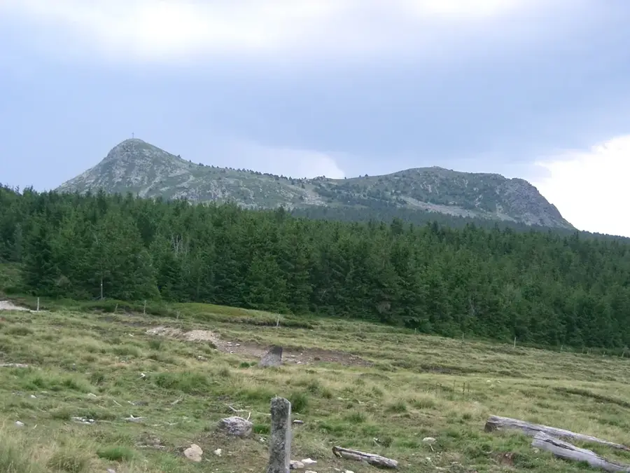
Mont Mézenc is the highest peak of the Massif Central east of the Auvergne region, positioned on the border between the Ardèche and Haute-Loire departments. Rising to 1,753 meters, it is an extinct volcano of complex origin consisting of two distinct summits separated by a saddle. The mountain serves as the primary drainage divide between the Atlantic Ocean and the Mediterranean Sea, lending it significant geographical importance. The surrounding landscape features expansive high plateaus, volcanic phonolith rock formations, and alpine flora that is often buried under heavy snow in winter. From the summit, visitors can enjoy an exceptional 360-degree panorama that, on clear days, stretches from the Alps to Mont Ventoux. The region is renowned for its traditional pastoralism, specifically the production of 'Fin Gras du Mézenc,' a premium beef with protected status. The peak is a popular destination for hikers and mountain bikers, while winter brings skiers to the nearby station of Les Estables.
- Location: Auvergne-Rhône-Alpes, France
- Top sights: Ferme du Bourlatier · Mont Gerbier de Jonc · Suc de Séponet
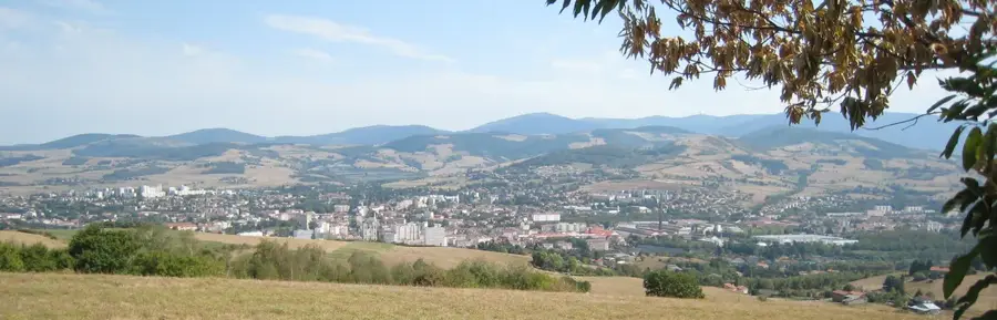
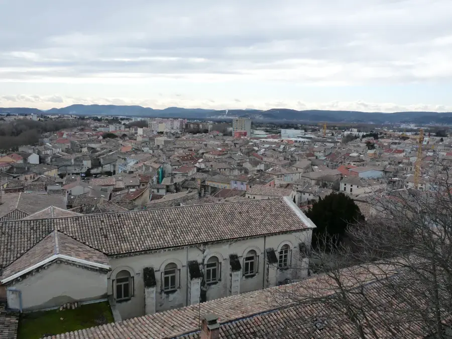
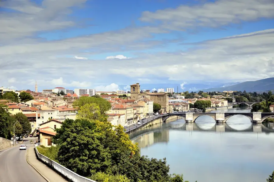
- Nearby: Aubenas (28 km)
Best time to visit & climate
The most pleasant time to visit is Jun–Aug.
| Jan | Feb | Mar | Apr | May | Jun | Jul | Aug | Sep | Oct | Nov | Dec | |
|---|---|---|---|---|---|---|---|---|---|---|---|---|
| Avg °C | 0 | 0 | 3 | 7 | 11 | 15 | 18 | 17 | 13 | 9 | 4 | 1 |
| Rain mm | 53 | 42 | 50 | 70 | 83 | 69 | 64 | 66 | 65 | 89 | 85 | 60 |
📋 Practical info
Geography
Facts
- The peak reaches an elevation of 1,753 meters.
- It consists of two distinct summits: North and South.
- Acts as the continental divide between the Atlantic and Mediterranean.
- The mountain is geologically composed of volcanic phonolite.
- Nearby Les Estables is the highest village in the Massif Central.
- Famous for its premium 'Fin Gras du Mézenc' AOC beef.
Explore nearby
Notable places around
Route planner — Car & Motorhome
Where do you start? We build the route here, with stops and country notes along the way.
© OpenStreetMap contributors · OpenRouteService
Sights in the town Mont Mezenc (5)
Sights nearby
Frequently asked questions
Where is Mont Mézenc located?
Is Mont Mézenc a volcano?
What is the maximum altitude?
Can you see the Alps from there?
Is there a ski resort there?
Mont Mezenc: where is it located?
Mont Mezenc: what is there to see?
Mont Mezenc: when is the best time to visit?
Mont Mezenc: why is it worth visiting?

Nearby cities