Plizio Visual Lab
Mount Marescot

Weather…
Water temperature…
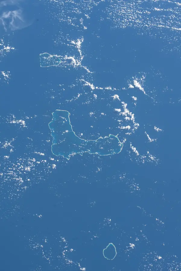
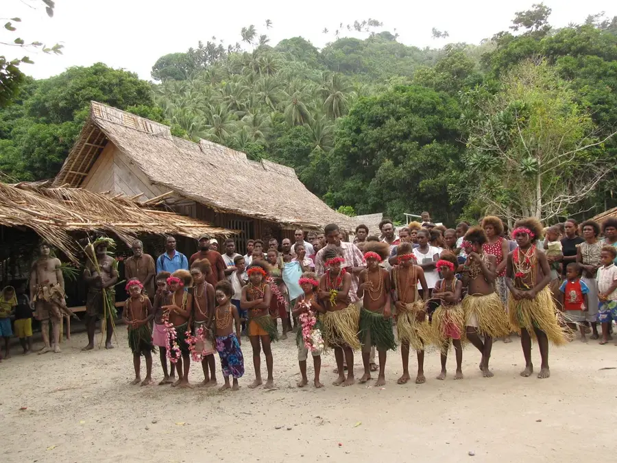
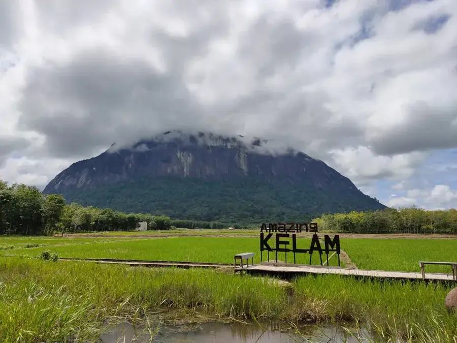
Mount Marescot, rising to an elevation of approximately 1,220 meters, is the highest peak on Santa Isabel Island in the Solomon Islands. Named after the French naval officer Marescot, the mountain forms the central point of the island's mountainous backbone. Geologically, the massif consists of a complex mixture of ophiolitic rock and volcanic formations, resulting from intense tectonic uplift at the boundary of the Pacific Plate. The slopes of the mountain are covered in dense, pristine montane rainforest, which has exceptional biodiversity, including many plant species found only at these altitudes. Mount Marescot is a crucial catchment area for the entire island, feeding numerous rivers that are indispensable for local agriculture. Due to its height and difficult topography, the summit is frequently shrouded in clouds, contributing to the preservation of the moist microclimate. Scientific expeditions to this area are rare but have led to the discovery of new species of amphibians and insects. For the residents of Santa Isabel, the mountain is a prominent symbol of their island and their natural identity.
- Location: Solomon Islands
- Nearby: Dadali (30 km)
Best time to visit & climate
The most pleasant time to visit is Aug, Sep, Nov.
| Jan | Feb | Mar | Apr | May | Jun | Jul | Aug | Sep | Oct | Nov | Dec | |
|---|---|---|---|---|---|---|---|---|---|---|---|---|
| Avg °C | 28 | 28 | 28 | 28 | 28 | 28 | 28 | 28 | 28 | 28 | 28 | 28 |
| Rain mm | 293 | 336 | 304 | 229 | 240 | 229 | 255 | 210 | 209 | 227 | 203 | 228 |
📋 Practical info
Geography
Facts
- Mount Marescot is the highest elevation on Santa Isabel.
- The mountain reaches a height of 1,220 meters above sea level.
- The mountain massif consists of rocks from the oceanic crust.
- It is home to the rare Santa Isabel lory.
- Annual rainfall can reach up to 4,000 mm.
- There are significant nickel deposits on the lower slopes.
Explore nearby
Notable places around
Route planner — Car & Motorhome
Where do you start? We build the route here, with stops and country notes along the way.
© OpenStreetMap contributors · OpenRouteService
Sights nearby
Frequently asked questions
What to expect at Mount Marescot?
Is a guide necessary?
What is the weather on the mountain?
Are there dangers there?
What is the best equipment?
Mount Marescot: where is it located?
Mount Marescot: when is the best time to visit?
Mount Marescot: why is it worth visiting?

Nearby cities


History & landmarks

Nature
More places