Plizio Visual Lab
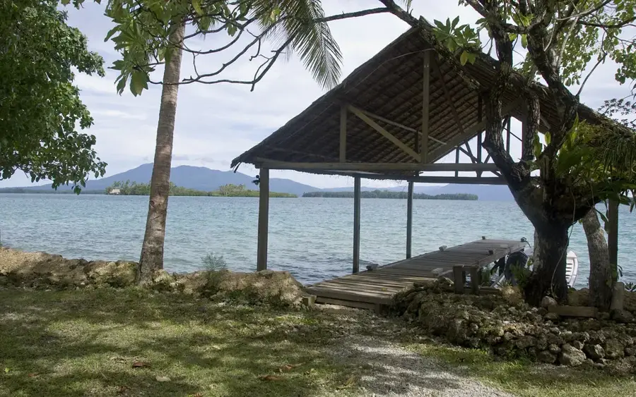
Santa Isabel Landing Site
Weather…
Water temperature…
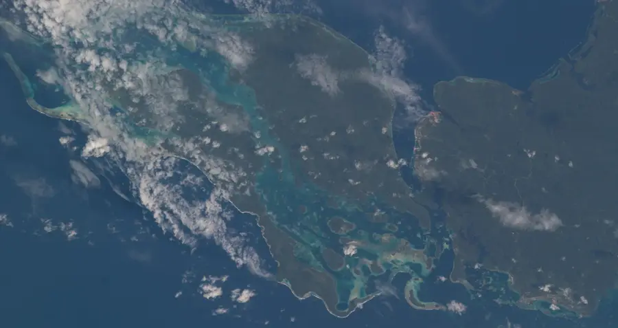
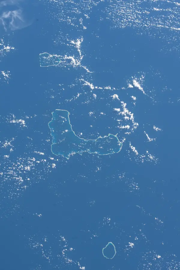
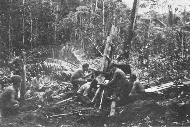
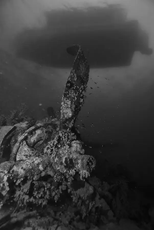
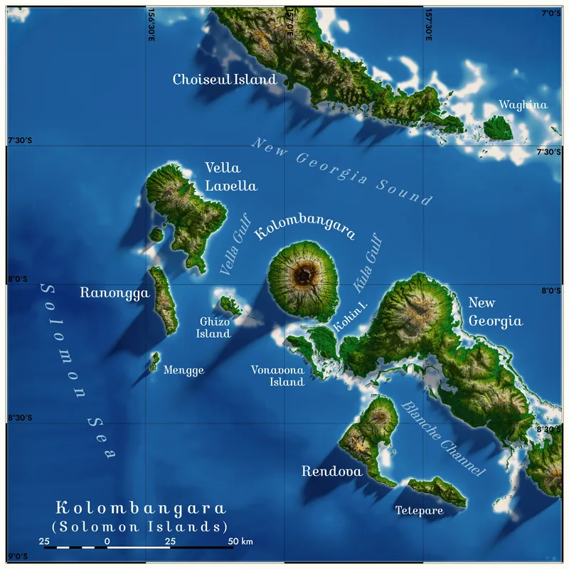
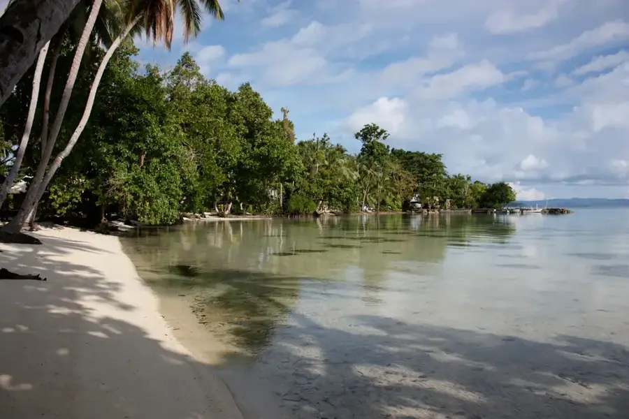
The landing site on Santa Isabel Island is a key historical location that played a strategic role during the Solomon Islands campaign of World War II. Positioned between the Japanese strongholds in the north and the critical battlefield of Guadalcanal to the south, Santa Isabel was used extensively by Japanese forces as a staging area for barge traffic. These barges moved troops and supplies under the cover of night to avoid Allied air superiority. Allied Coastwatchers on the island provided crucial intelligence on these movements, leading to frequent and devastating air strikes on Japanese hideouts in the island's many bays. Small-scale landings by Allied reconnaissance teams and scouts were instrumental in disrupting Japanese logistics and providing support to local inhabitants. While often overshadowed by larger battles, the military activities on Santa Isabel were vital in eroding the Japanese capability to sustain their frontline forces. Today, the island is known for its ecological richness, with its wartime landing sites serving as quiet monuments to the strategic maneuvers of the Pacific War.
- Location: Solomon Islands
- Nearby: Kia Islet (9 km)
Best time to visit & climate
The most pleasant time to visit is Apr, Oct, Nov.
| Jan | Feb | Mar | Apr | May | Jun | Jul | Aug | Sep | Oct | Nov | Dec | |
|---|---|---|---|---|---|---|---|---|---|---|---|---|
| Avg °C | 28 | 28 | 28 | 28 | 28 | 28 | 28 | 28 | 28 | 28 | 28 | 28 |
| Rain mm | 291 | 308 | 301 | 229 | 237 | 266 | 295 | 255 | 234 | 226 | 215 | 226 |
📋 Practical info
Geography
Facts
- Santa Isabel is the longest island in the Solomon Islands chain.
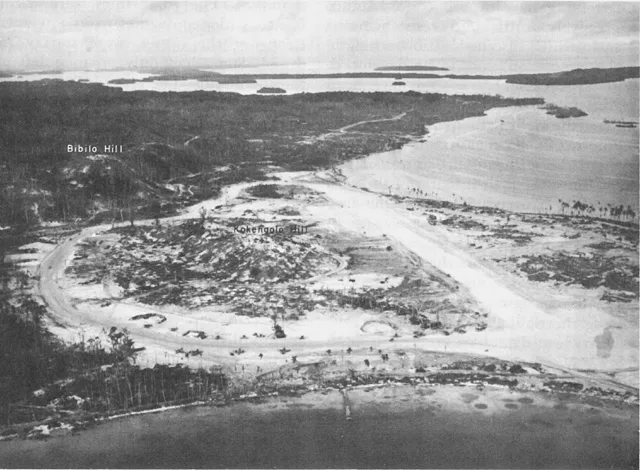
- A major Japanese seaplane base was established at Rekata Bay on the northern coast.
- Allied Coastwatchers provided information that led to frequent SBD Dauntless strikes on Rekata.
- The island was a primary hub for the Japanese night-time barge supply network.
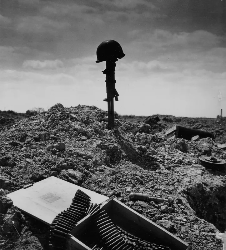
- Native scouts played a decisive role in identifying Japanese coastal positions.
- Most Japanese forces evacuated their main positions on the island by late 1943.
Explore nearby
Notable places around
Route planner — Car & Motorhome
Where do you start? We build the route here, with stops and country notes along the way.
© OpenStreetMap contributors · OpenRouteService
Sights nearby
Frequently asked questions
What is there to see?
How long does it take?
Is access free?
Do you need hiking boots?
Is it family-friendly?
Santa Isabel Landing Site: where is it located?
Santa Isabel Landing Site: when is the best time to visit?
Santa Isabel Landing Site: why is it worth visiting?

Nearby cities


History & landmarks

Nature


More places