Plizio Visual Lab
Mount Maetambe
Weather…
Water temperature…
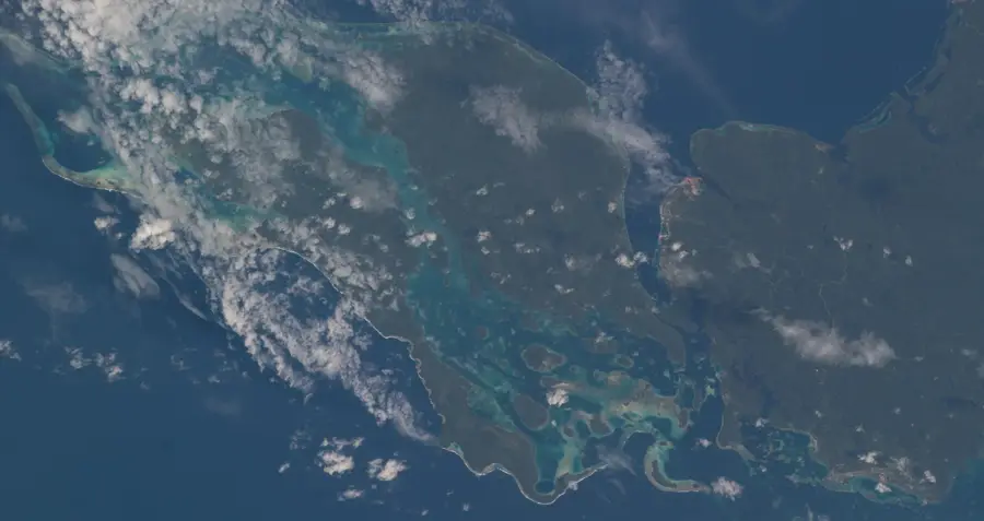
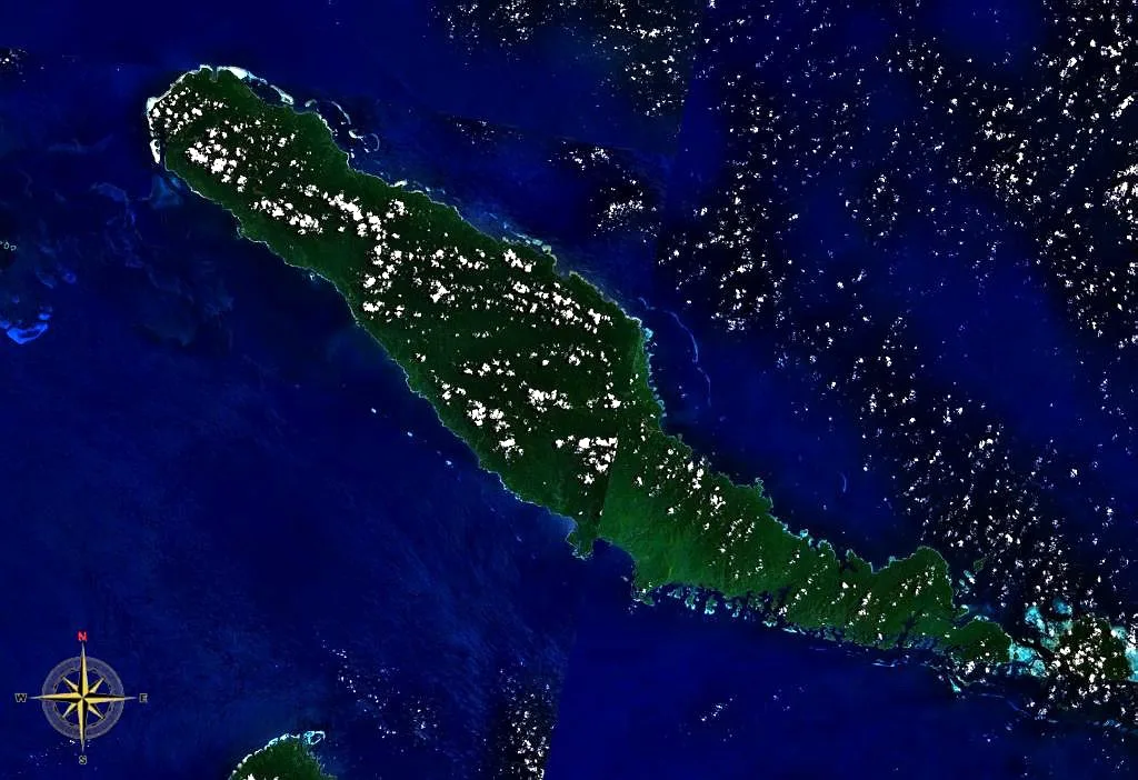
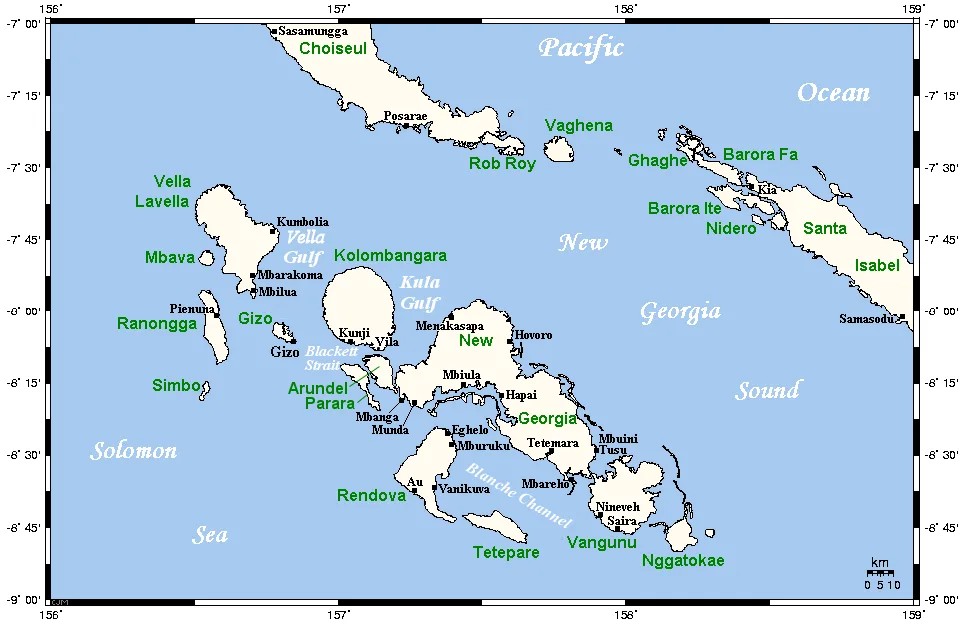
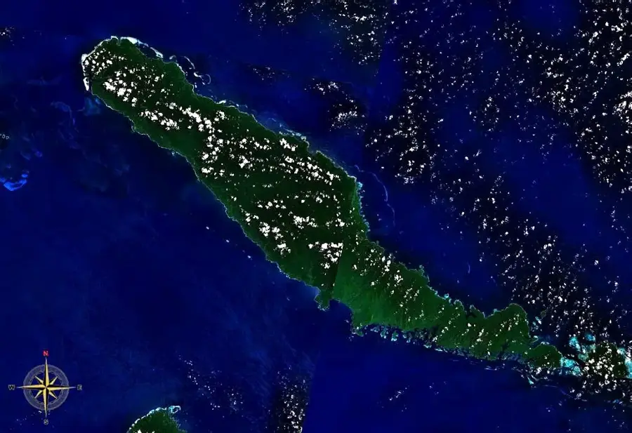
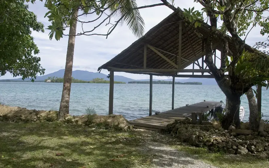
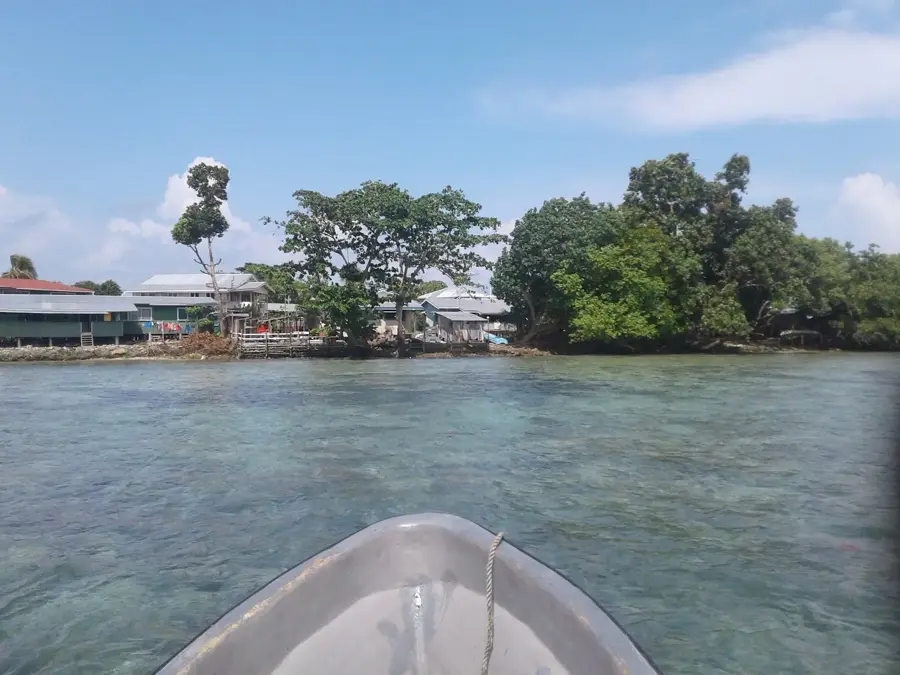
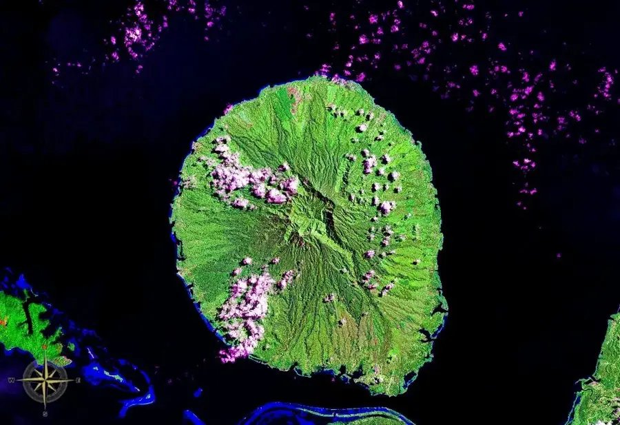
Mount Maetambe, standing at an elevation of approximately 1,060 meters, is the highest peak on Choiseul Island in the northwestern Solomon Islands. The mountain is an extinct volcano and forms the core of a rugged mountain range that traverses the island from northwest to southeast. The slopes of Mount Maetambe are covered in pristine tropical primary rainforest, which supports high levels of biodiversity. Due to the high annual rainfall in the region, numerous rivers originate on its flanks, providing essential water resources for coastal communities. Geologically, the massif consists primarily of volcanic rock and basalt, indicative of its formation within the Pacific Ring of Fire. For the local population of Choiseul, the mountain holds spiritual significance and is featured in many traditional oral histories. The mountain's remote location has helped ensure that its flora and fauna remain largely undisturbed by human activity.
- Location: Solomon Islands
- Nearby: Pangoe (17 km)
Best time to visit & climate
The most pleasant time to visit is Sep, Nov, Dec.
| Jan | Feb | Mar | Apr | May | Jun | Jul | Aug | Sep | Oct | Nov | Dec | |
|---|---|---|---|---|---|---|---|---|---|---|---|---|
| Avg °C | 28 | 28 | 28 | 28 | 28 | 28 | 28 | 28 | 28 | 28 | 28 | 28 |
| Rain mm | 263 | 298 | 280 | 261 | 322 | 336 | 332 | 314 | 265 | 277 | 227 | 220 |
📋 Practical info
Geography
Facts
- The mountain reaches a maximum elevation of about 1,060 meters.
- It is the highest point of elevation on Choiseul Island.
- Geologically, it is classified as an extinct volcano.
- Rare species of bats have been identified in the mountain's forests.
- The mountain massif is predominantly composed of basalt and andesite.
- Annual rainfall at the summit often exceeds 3,500 mm.
Explore nearby
Notable places around
Route planner — Car & Motorhome
Where do you start? We build the route here, with stops and country notes along the way.
© OpenStreetMap contributors · OpenRouteService
Sights nearby
Frequently asked questions
How high is Mount Maetambe?
Can you climb the mountain?
Are there marked trails there?
What is the best season?
Are there any dangers?
Mount Maetambe: where is it located?
Mount Maetambe: when is the best time to visit?
Mount Maetambe: why is it worth visiting?

Nearby cities


History & landmarks
Nature

More places