Plizio Visual Lab
Kumboro

ℹ️Practical info — Kumboro
▾
🌤 Weather — 5 days
📍 Nearby
Sights nearby
💡 Tips
- Access is mainly by small boats; weather conditions can significantly affect travel plans.
- Bring all necessary supplies (cash, medication, snacks) as there are no large shops.
- Solar power is common; bring power banks for your electronics.
- Malaria prophylaxis is highly recommended for remote areas in Choiseul.
- Participate in a village welcome if offered; it is a key part of the local culture.
🍽 Food
A local delicacy if freshly caught by the fishermen.
Often prepared at traditional village feasts.
Usually cooked over a fire right after being caught.
🛍 Shopping · 🧘 Quiet spots
Buy directly from the makers in the village.
Beautiful handiwork by local women.
Enjoy the empty stretches of sand and complete seclusion.
A first-rate spot to listen to endemic birds.
Water temperature…
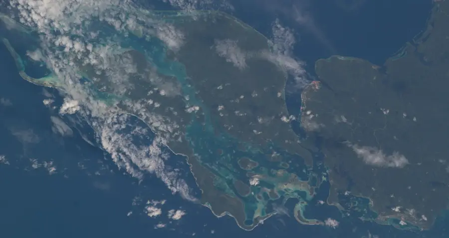
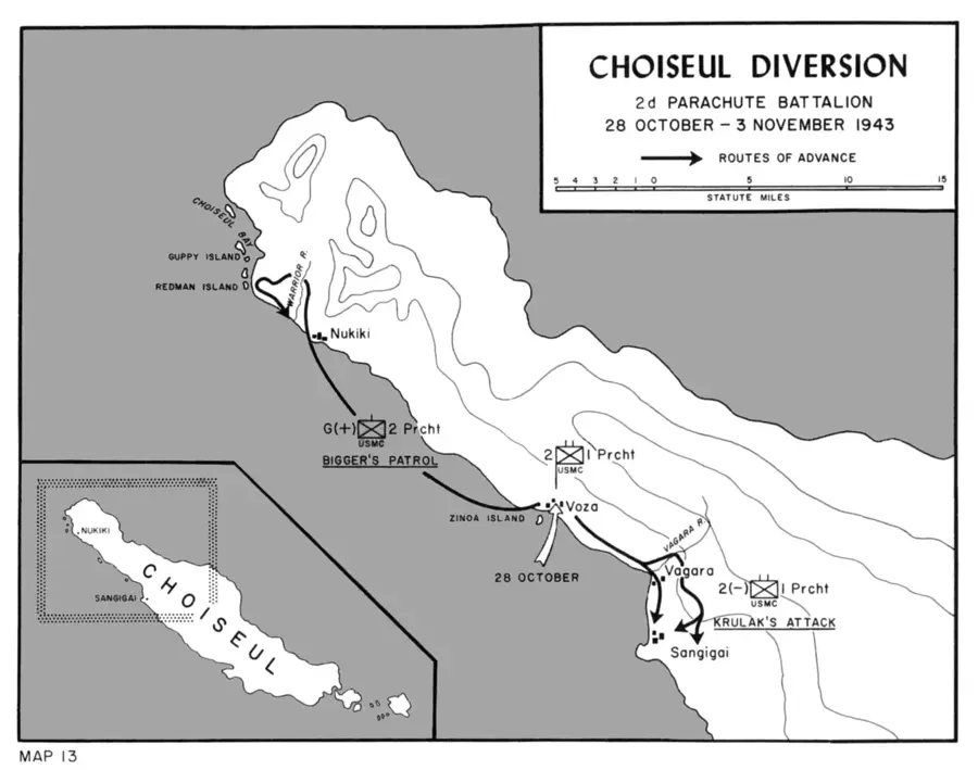
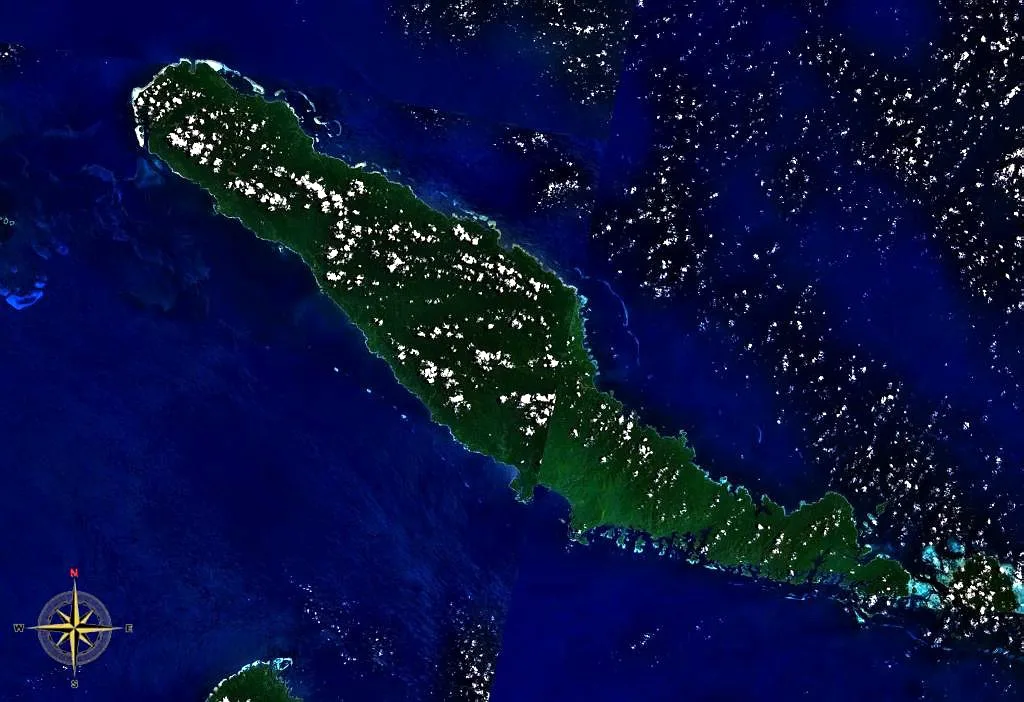
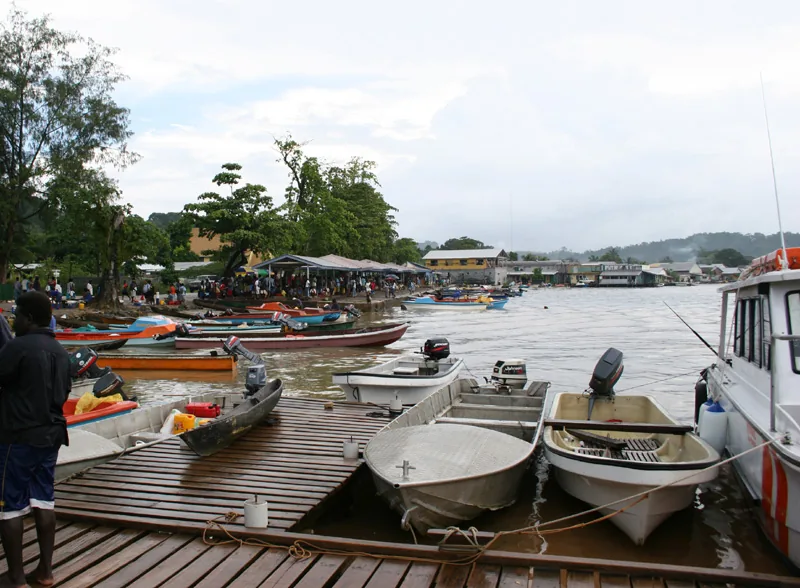
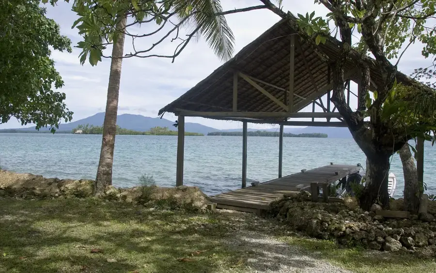
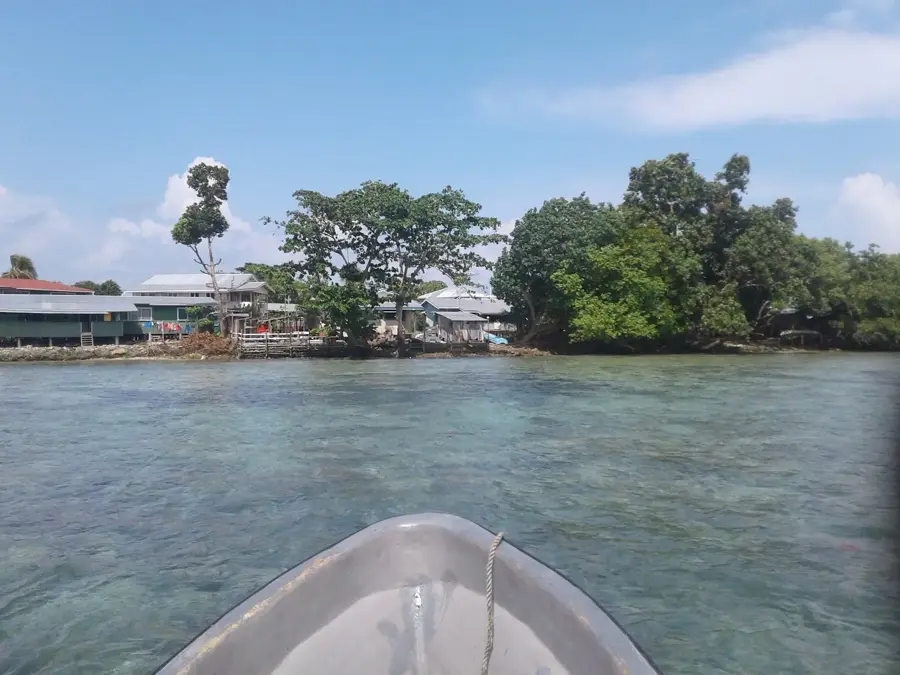
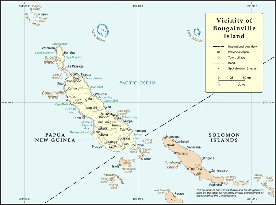
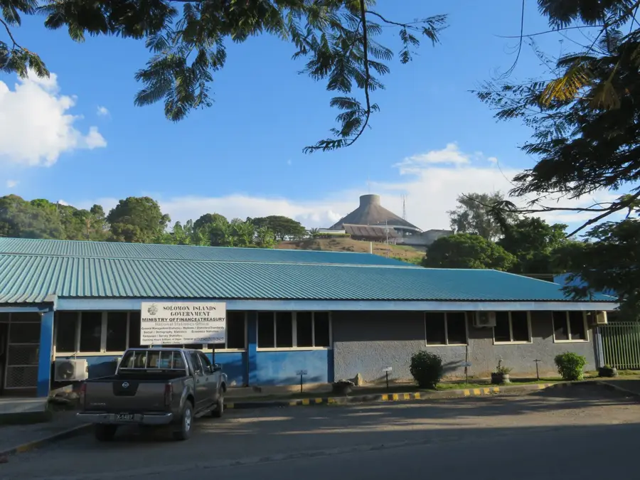
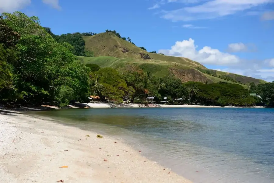
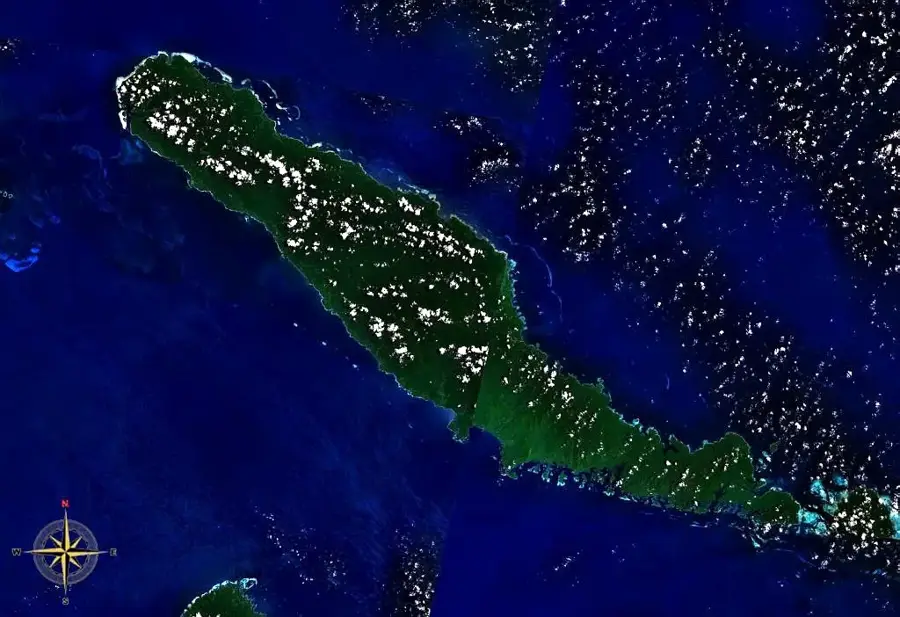
Kumboro (often referred to as Mount Kumboro) is a prominent location and peak at the eastern tip of Choiseul Island in the Solomon Islands. With an elevation of approximately 500 meters, the mountain serves as a vital navigational landmark for mariners in the Manning Strait. The surroundings of Kumboro are characterized by steep cliffs and dense, often cloud-shrouded montane rainforest vegetation. Historically, the Kumboro region was the site of significant tribal conflicts and later saw military activity during the Pacific War, as it controlled the eastern approach to the island. The modern settlement near the cape primarily relies on fishing in the current-rich waters of the passage. Geographically, Kumboro marks the transition between the Solomon Sea and the open Pacific Ocean, resulting in a unique marine dynamic. Culturally, the site is associated with legends of creation and the first inhabitants of Choiseul Island. Despite the difficult topography, the region is known for its biodiversity, including rare bird species that nest in the undisturbed highland forests. Kumboro remains one of the wildest and most pristine parts of the province due to its exposed location.
- Location: Solomon Islands
- Nearby: Moli (19 km)
Best time to visit & climate
The most pleasant time to visit is Jan, Nov, Dec.
| Jan | Feb | Mar | Apr | May | Jun | Jul | Aug | Sep | Oct | Nov | Dec | |
|---|---|---|---|---|---|---|---|---|---|---|---|---|
| Avg °C | 28 | 28 | 28 | 28 | 28 | 28 | 28 | 28 | 28 | 28 | 28 | 28 |
| Rain mm | 253 | 275 | 266 | 273 | 345 | 397 | 383 | 353 | 276 | 287 | 234 | 219 |
Geography
Facts
- Mount Kumboro is the easternmost point of Choiseul Island.
- The mountain reaches an elevation of approximately 500 meters above sea level.
- The Manning Strait separates Kumboro from Santa Isabel Island.
- The cliffs contain caves that historically served as ancestral burial sites.
- The region is a known hunting ground for the rare Solomon Sea Eagle.
- Due to powerful currents, Cape Kumboro is notorious among mariners.
Explore nearby
Notable places around
Route planner — Car & Motorhome
Where do you start? We build the route here, with stops and country notes along the way.
© OpenStreetMap contributors · OpenRouteService
Frequently asked questions
How long to stay in Kumboro?
Best travel time?
How to get to Kumboro?
What to eat there?
Is Kumboro family-friendly?
Kumboro: where is it located?
Kumboro: when is the best time to visit?
Kumboro: why is it worth visiting?

Nearby cities


History & landmarks
Nature
More places