Plizio Visual Lab
Choiseul Bay
Weather…
Water temperature…
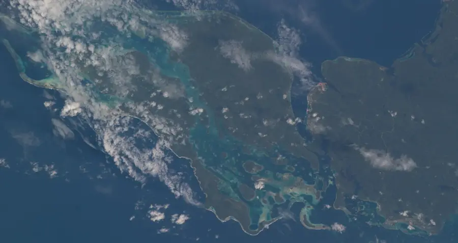
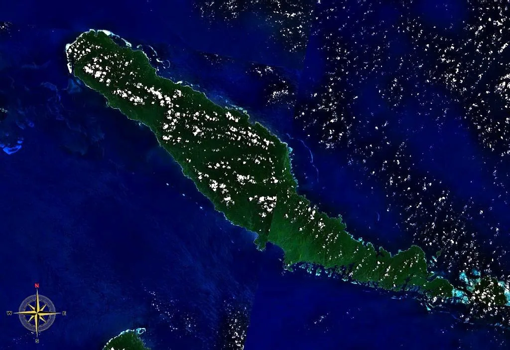
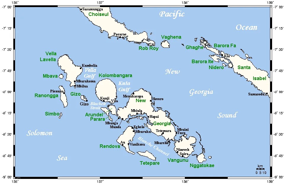
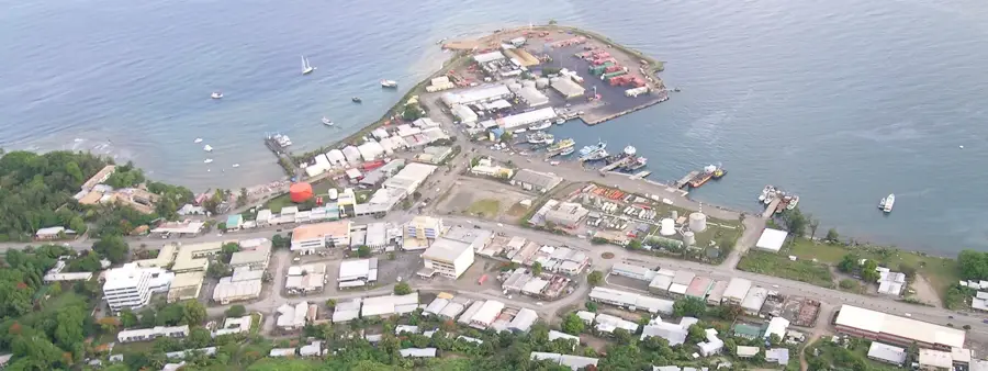
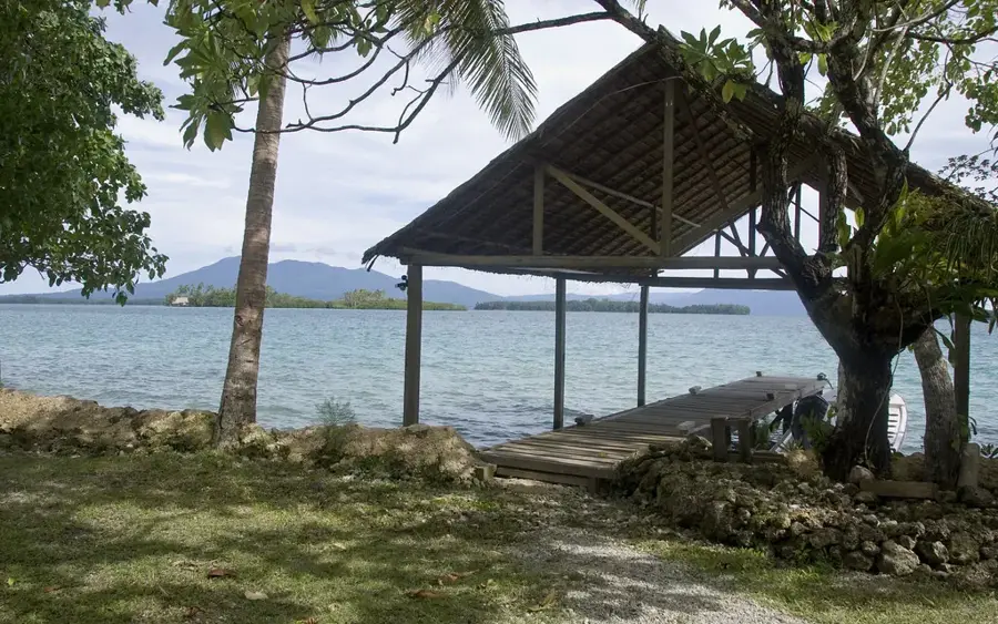
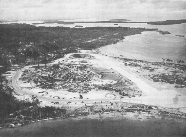
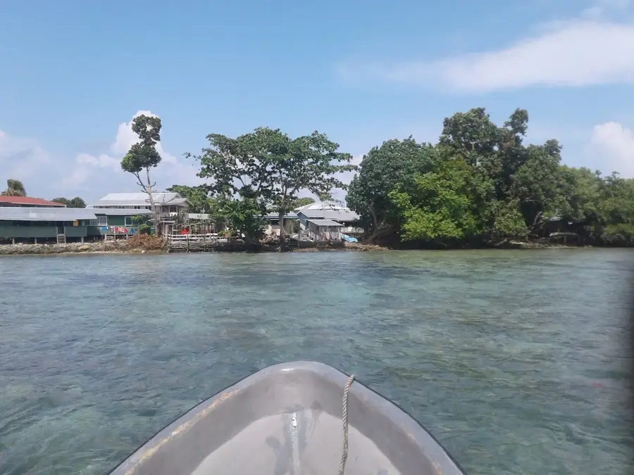
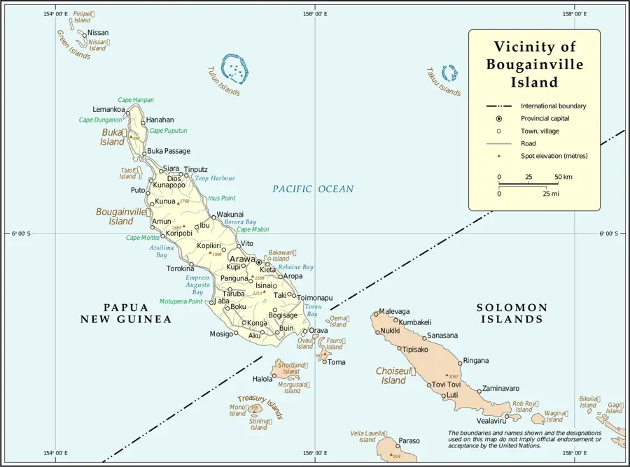
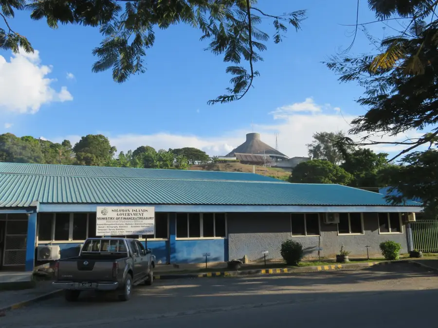
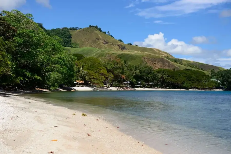
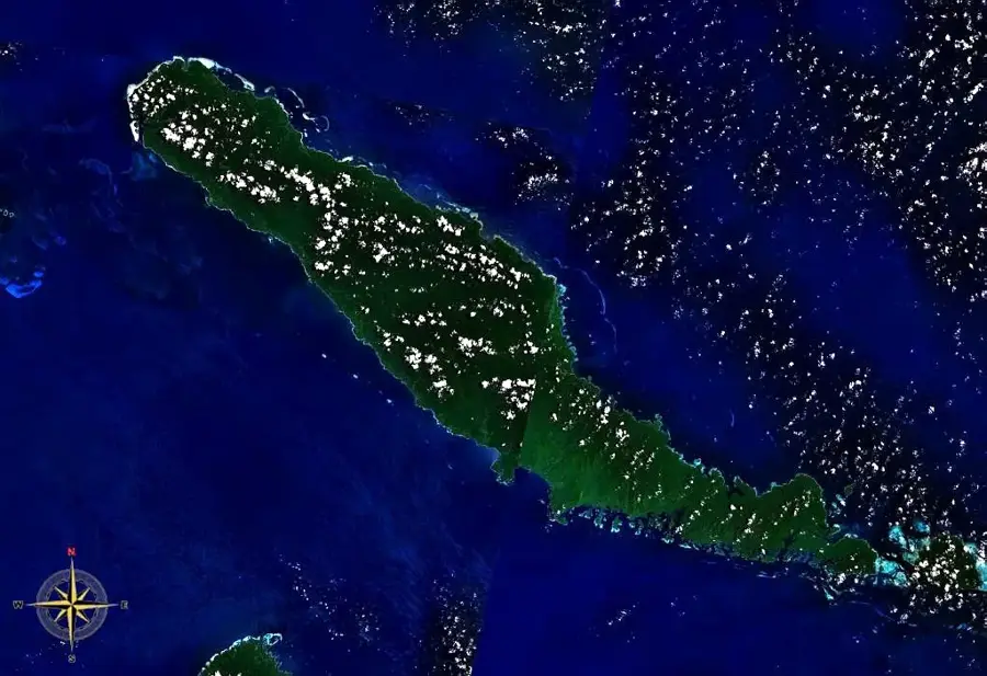
Choiseul Bay is located on the northwestern coast of Choiseul Island and is the primary gateway to the province, as it hosts Taro Island, where the provincial capital is situated. The bay features an excellent natural harbor protected by offshore islands and is home to the Choiseul Bay Airport. Geographically, the region is characterized by coral reefs and dense rainforests, with the settlement of Taro located on an artificially expanded coral island. Historically, Choiseul Bay was the site of reconnaissance operations during World War II and later served as a hub for the province's economic development. The local economy is based on administration, trade, and the export of agricultural products such as copra. In recent times, the region has come into focus due to rising sea levels, triggering plans to relocate the capital to the mainland of Choiseul.
- Location: Solomon Islands
- Nearby: Moli (8 km)
- Population: ~507
Best time to visit & climate
The most pleasant time to visit is Jan, Nov, Dec.
| Jan | Feb | Mar | Apr | May | Jun | Jul | Aug | Sep | Oct | Nov | Dec | |
|---|---|---|---|---|---|---|---|---|---|---|---|---|
| Avg °C | 28 | 28 | 28 | 28 | 28 | 28 | 28 | 28 | 28 | 28 | 28 | 28 |
| Rain mm | 253 | 275 | 266 | 273 | 345 | 397 | 383 | 353 | 276 | 287 | 234 | 219 |
📋 Practical info
Geography
Facts
- Hosts the provincial capital, Taro, on a small offshore island.
- Location of Choiseul Bay Airport (IATA code: CHY).
- Primary commercial and administrative hub for Choiseul Province.
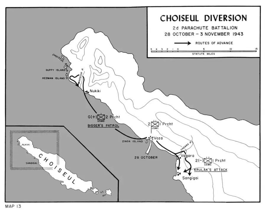
- Strategic point during the Pacific War for coastwatchers.
- Noted as one of the first capitals worldwide planned for relocation due to climate change.
- Surrounded by productive fishing grounds and coral reefs.
Explore nearby
Notable places around
Route planner — Car & Motorhome
Where do you start? We build the route here, with stops and country notes along the way.
© OpenStreetMap contributors · OpenRouteService
Sights in the town Choiseul Bay (1)
Sights nearby
Frequently asked questions
What is the main role of Choiseul Bay?
Is Choiseul Bay accessible for tourists?
When should I visit Choiseul Bay?
What is there to see nearby?
Is there a visitor center?
Choiseul Bay: where is it located?
Choiseul Bay: when is the best time to visit?
Choiseul Bay: why is it worth visiting?

Nearby cities


History & landmarks
Nature
More places