Plizio Visual Lab
Mount Paneti

Weather…
Water temperature…
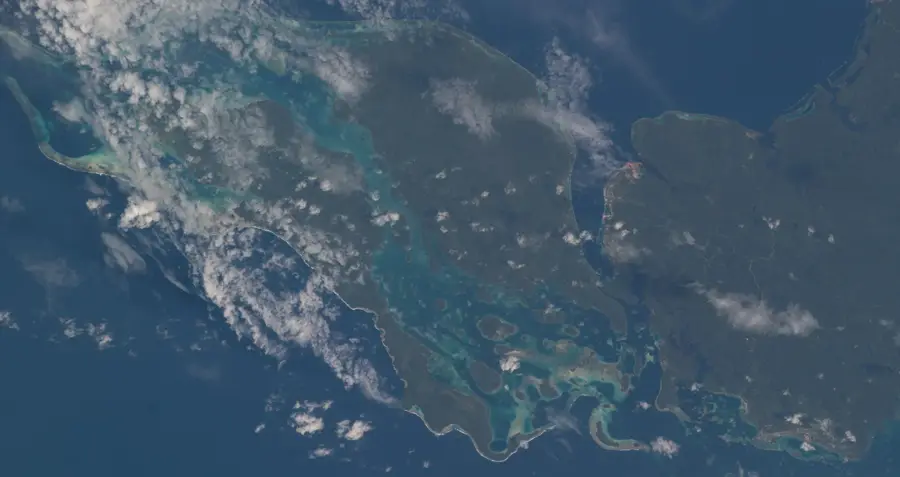
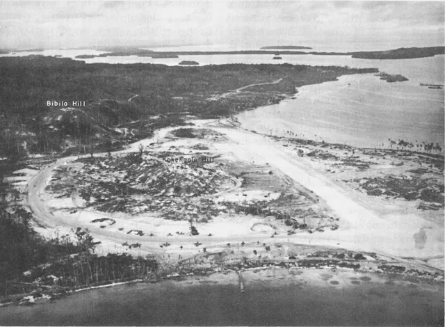
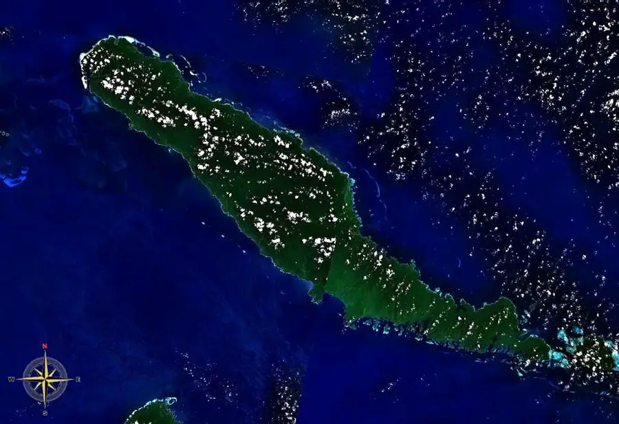
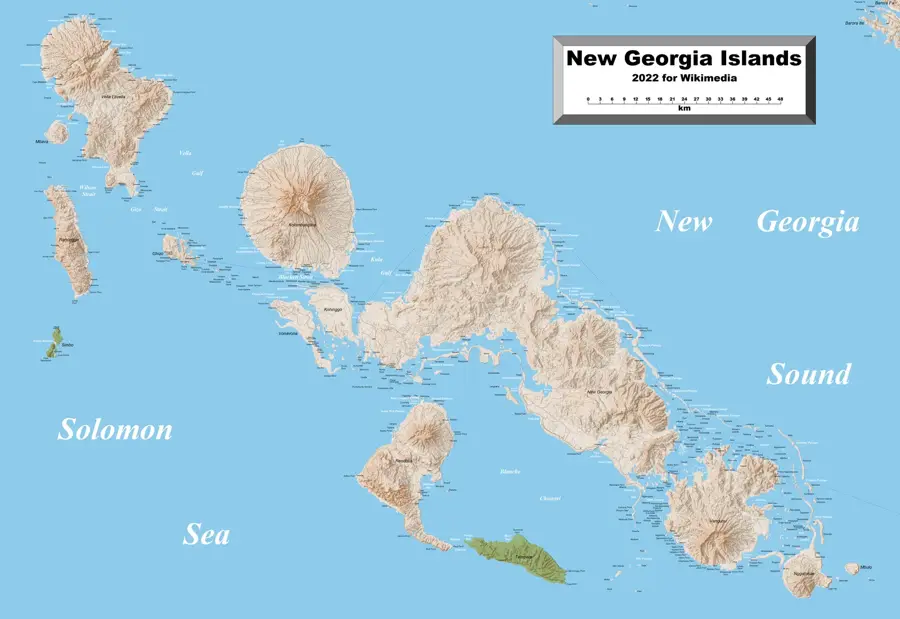
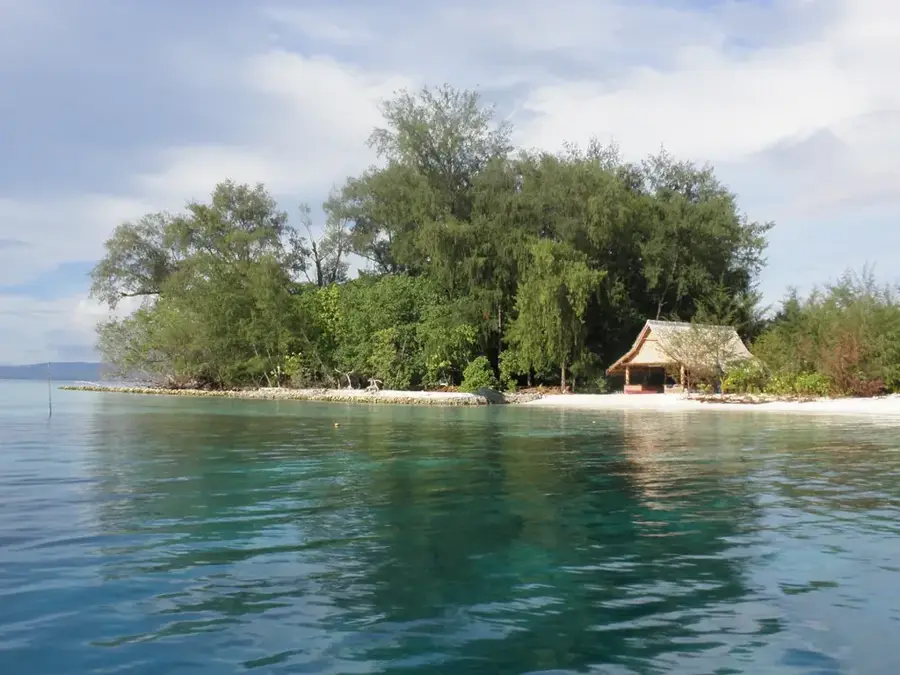
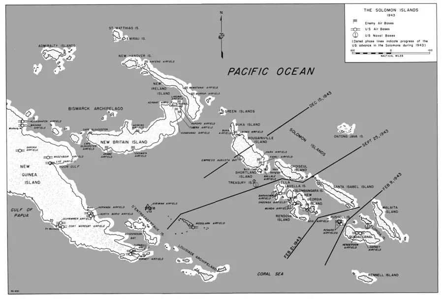
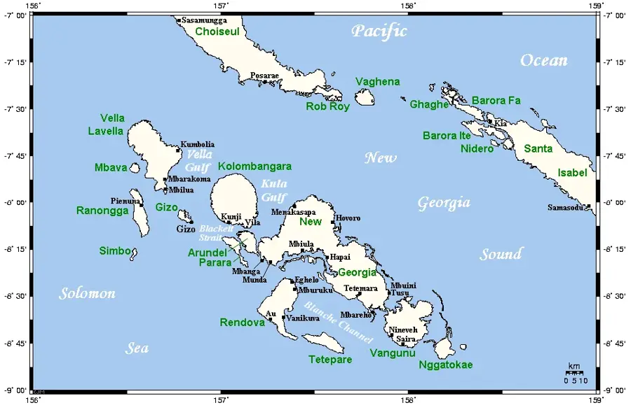
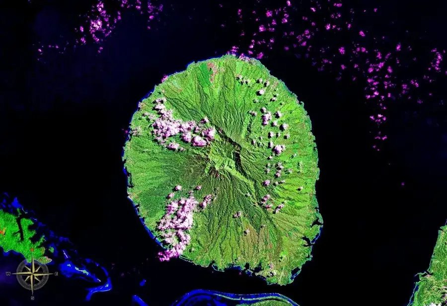
Mount Paneti is located on Choiseul Island and represents a significant elevation in the rugged mountainous landscape of this region of the Solomon Islands. As part of Choiseul's central highlands, the mountain is characterized by steep ridges and a dense vegetation cover of tropical rainforest. Geologically, Mount Paneti consists of a mixture of volcanic rocks and marine sediments uplifted by the complex tectonics of the Pacific island arc. The region surrounding the mountain is known for its high ecological integrity and hosts numerous endemic species that are not found in the lower-lying coastal areas. Mount Paneti functions as an important catchment area, feeding several river systems that are vital for local communities. Due to extreme slopes and a lack of transportation routes, the mountain has remained largely untouched by economic use. It serves as an important refuge for local fauna and is a central element in the scenic structure of Choiseul Island.
- Location: Solomon Islands
- Nearby: Maru (47 km)
Best time to visit & climate
The most pleasant time to visit is Apr, Nov, Dec.
| Jan | Feb | Mar | Apr | May | Jun | Jul | Aug | Sep | Oct | Nov | Dec | |
|---|---|---|---|---|---|---|---|---|---|---|---|---|
| Avg °C | 28 | 28 | 28 | 28 | 29 | 28 | 28 | 28 | 28 | 28 | 28 | 29 |
| Rain mm | 298 | 329 | 305 | 274 | 379 | 352 | 357 | 332 | 285 | 291 | 239 | 236 |
📋 Practical info
Geography
Facts
- Mount Paneti is located in the mountainous interior of Choiseul.
- The region receives over 3,000 mm of rainfall annually.
- The mountain consists partly of volcanic breccia.
- It hosts rare bird species such as the Choiseul lory.
- The summit elevation is recorded on local topographic maps.
- The area is accessible only via traditional bush tracks.
Explore nearby
Notable places around
Route planner — Car & Motorhome
Where do you start? We build the route here, with stops and country notes along the way.
© OpenStreetMap contributors · OpenRouteService
Sights nearby
Frequently asked questions
Is Mount Paneti well visited?
How to get to the peak?
How long does the ascent take?
Is it family-friendly?
What can you see there?
Mount Paneti: where is it located?
Mount Paneti: when is the best time to visit?
Mount Paneti: why is it worth visiting?

Nearby cities


History & landmarks

Nature
More places