Plizio Visual Lab
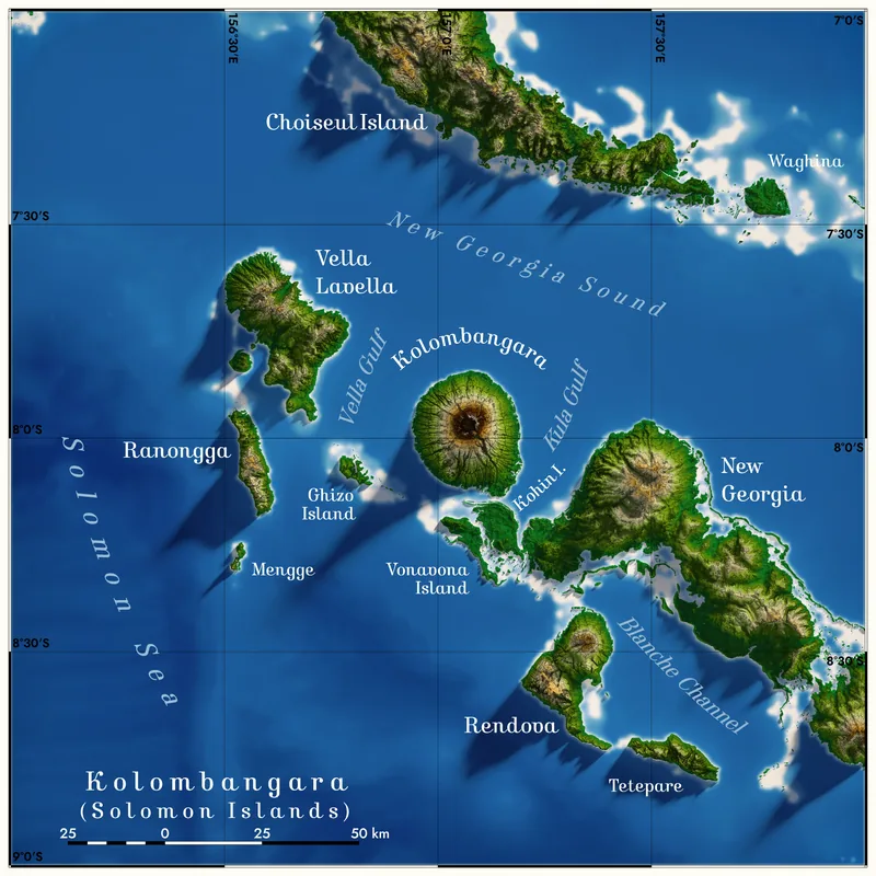
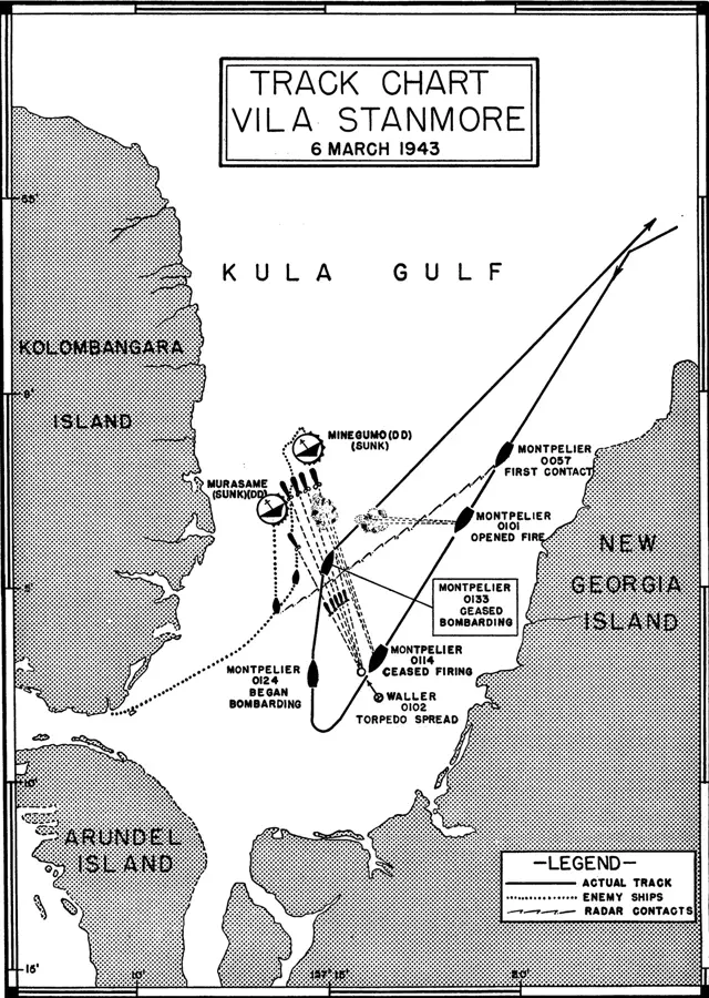
Kolombangara
Weather…
Water temperature…
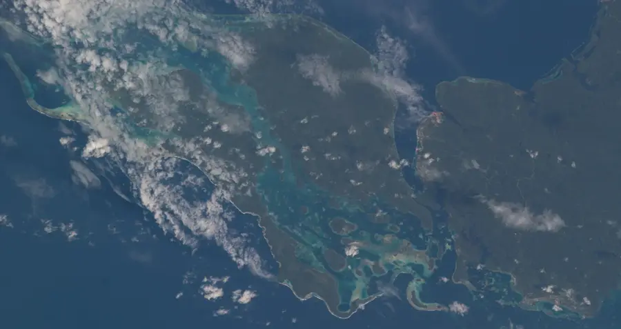
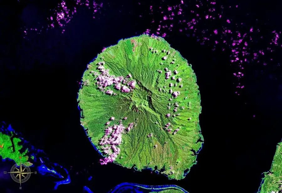
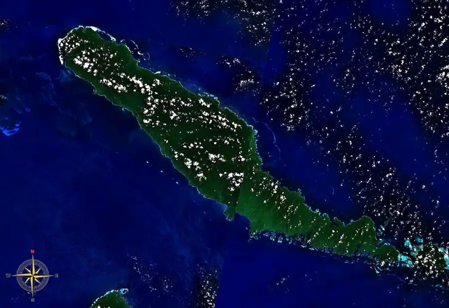
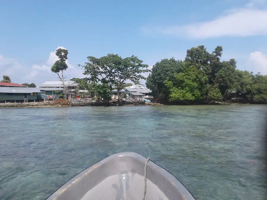
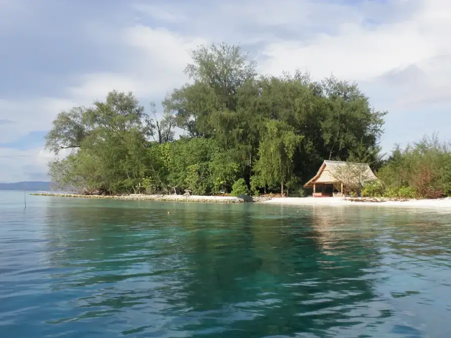
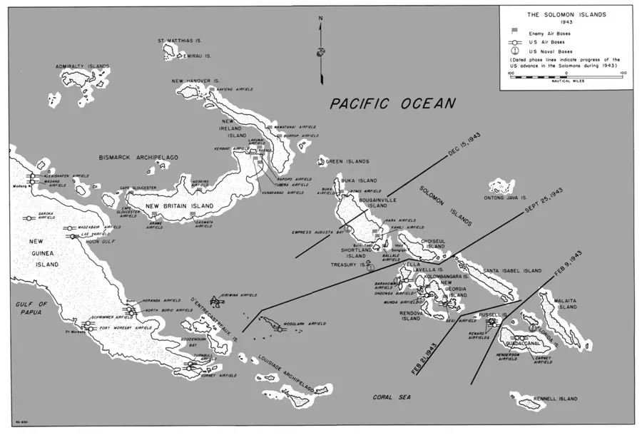
Kolombangara is a prominent, nearly circular volcanic island located in the Western Province of the Solomon Islands. Its name translates to 'God of Water' in the local dialect, referring to the over 80 rivers and streams that flow from the steep slopes of its central volcanic caldera. The highest peak, Mount Veve, rises to 1,770 meters and serves as a vital habitat for montane bird species, some of which are endemic strictly to this island. Geologically, Kolombangara is an extinct stratovolcano with a diameter of approximately 30 kilometers. Significant portions of the island are designated as conservation areas, particularly the land above the 400-meter contour, to protect the primary rainforest from commercial logging. Historically, the island was a major theater of operations during World War II, and many remnants of Japanese fortifications and equipment can still be found deep within the jungle.
- Location: Solomon Islands
- Top sights: Battle of Kula Gulf · Mount Veve
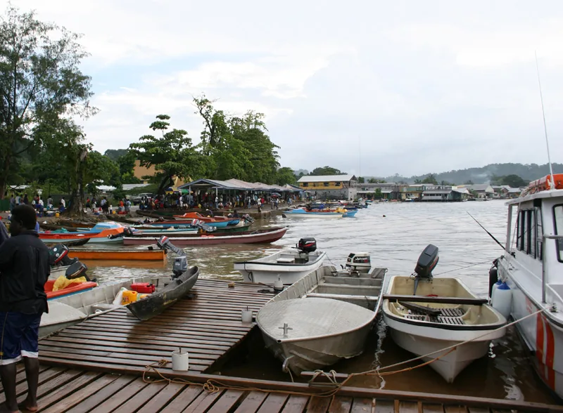
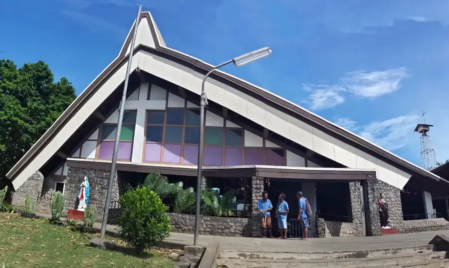
- Nearby: Poitete (11 km)
Best time to visit & climate
The most pleasant time to visit is Aug, Nov, Dec.
| Jan | Feb | Mar | Apr | May | Jun | Jul | Aug | Sep | Oct | Nov | Dec | |
|---|---|---|---|---|---|---|---|---|---|---|---|---|
| Avg °C | 28 | 28 | 28 | 28 | 28 | 28 | 28 | 27 | 28 | 28 | 28 | 28 |
| Rain mm | 315 | 353 | 313 | 262 | 308 | 295 | 326 | 273 | 272 | 278 | 224 | 229 |
📋 Practical info
Geography
Facts
- The diameter of this nearly perfectly circular island is approximately 30 kilometers.
- Mount Veve is the highest extinct volcano in the Solomon Islands at 1,770 meters.
- The island features more than 80 distinct rivers and streams.
- It is part of the New Georgia Group of islands in the Western Province.
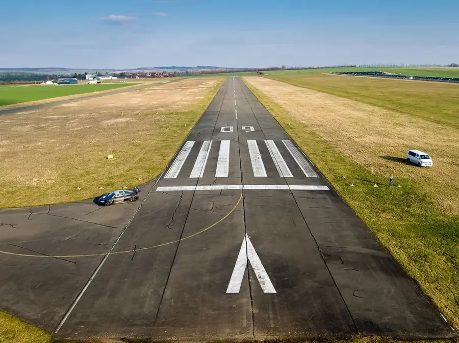
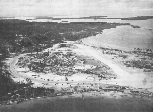
- During World War II, the Imperial Japanese Army constructed a significant airstrip at Vila.
- The Kolombangara Island Conservation Foundation (KICF) manages the island's vast protected areas.
Explore nearby
Notable places around
Route planner — Car & Motorhome
Where do you start? We build the route here, with stops and country notes along the way.
© OpenStreetMap contributors · OpenRouteService
Sights in the town Kolombangara (2)
Sights nearby
Frequently asked questions
Is Kolombangara an extinct volcano?
Can you climb the summit?
Is there accommodation at the volcano?
Is a guide necessary?
Best time to travel?
Kolombangara: where is it located?
Kolombangara: what is there to see?
Kolombangara: when is the best time to visit?
Kolombangara: why is it worth visiting?

Nearby cities


History & landmarks

Nature
More places