Plizio Visual Lab
Lunga Point
Weather…
Water temperature…
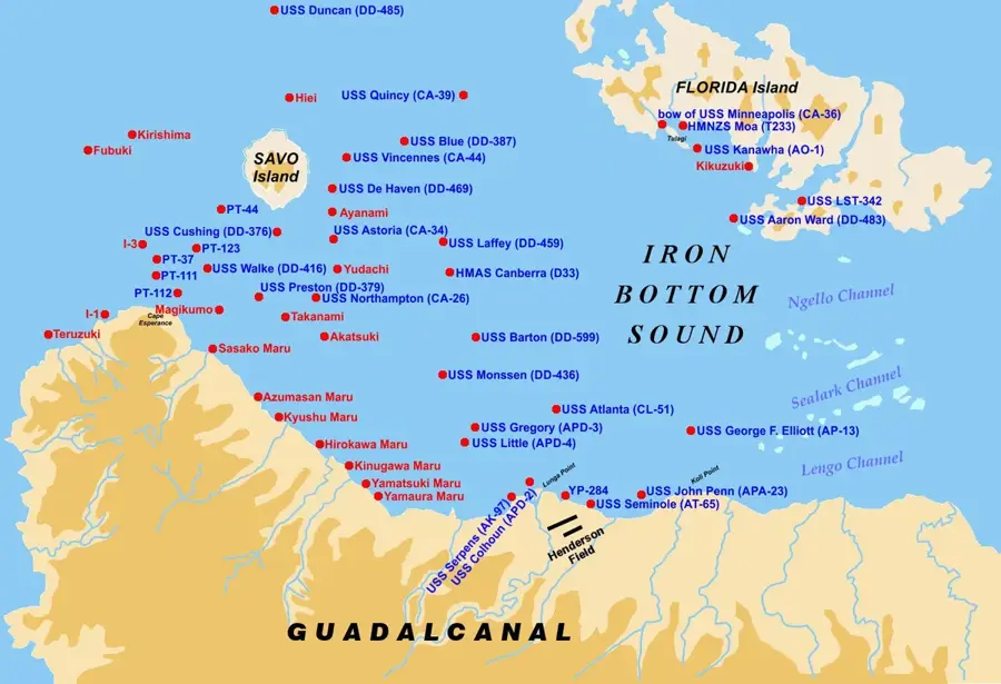
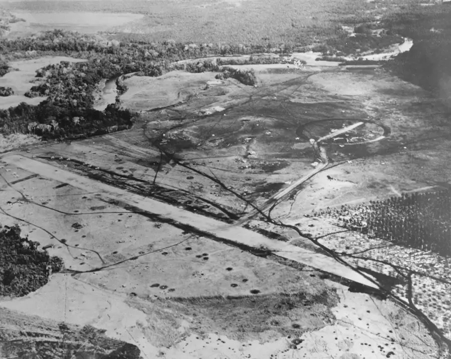
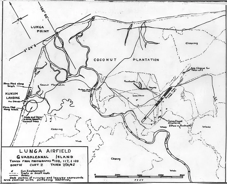
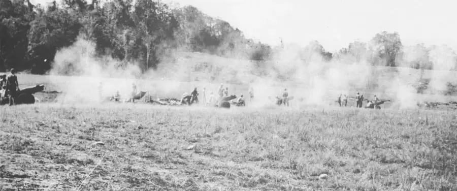
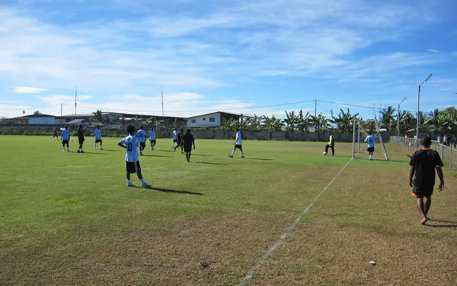
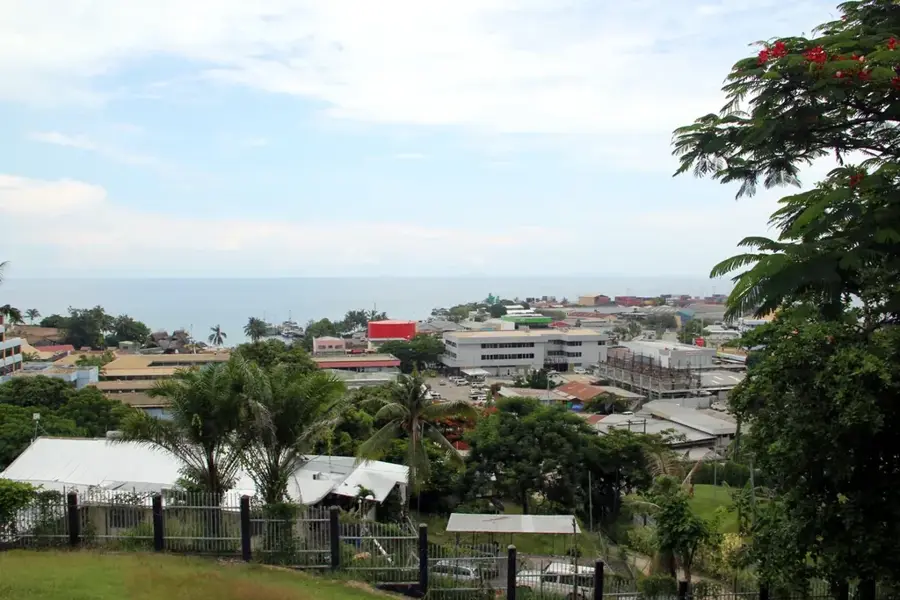
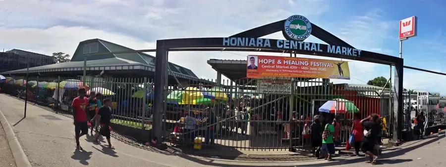
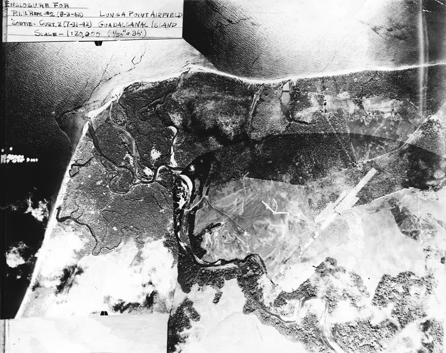
Lunga Point is a strategic promontory on the northern coast of Guadalcanal and is recognized as the most critical battlefield of the Pacific War in 1942. Originally a coconut plantation, the site was selected by the Japanese in July 1942 for an airfield to threaten supply lines between the United States and Australia. On August 7, 1942, the 1st US Marine Division landed at Lunga Point and captured the nearly completed airstrip, which was subsequently renamed Henderson Field. This triggered a grueling six-month campaign that changed the course of World War II. Throughout the conflict, Lunga Point served as the primary Allied perimeter and logistical base on the island. Today, the area encompasses Honiara International Airport and serves as the economic center of the Solomon Islands. The landscape is dotted with memorials and wartime remnants, honoring the thousands of soldiers who served in this pivotal location.
- Location: Solomon Islands
- Top sights: USS Colhoun (DD-85) · USS Serpens (AK-97) · Kukum Field
- Nearby: Koli Point (8 km)
Best time to visit & climate
The most pleasant time to visit is Jul–Sep.
| Jan | Feb | Mar | Apr | May | Jun | Jul | Aug | Sep | Oct | Nov | Dec | |
|---|---|---|---|---|---|---|---|---|---|---|---|---|
| Avg °C | 27 | 26 | 26 | 26 | 26 | 26 | 26 | 26 | 26 | 26 | 27 | 27 |
| Rain mm | 263 | 305 | 277 | 220 | 214 | 143 | 135 | 114 | 107 | 160 | 167 | 221 |
📋 Practical info
Geography
Facts
- The landing on August 7, 1942, was the first major US ground offensive of World War II.
- Henderson Field was named after Major Lofton Henderson, a pilot killed at Midway.
- The area was the site of the famous Battle of the Tenaru in August 1942.
- More than 100,000 personnel were stationed within the Lunga perimeter by 1943.
- The site is now home to Honiara International Airport, formerly Henderson Field.
- Occasional wartime discoveries still occur during construction projects in the area.
Explore nearby
Notable places around
Route planner — Car & Motorhome
Where do you start? We build the route here, with stops and country notes along the way.
© OpenStreetMap contributors · OpenRouteService
Sights in the town Lunga Point (3)
Sights nearby
Frequently asked questions
Are there entrance fees for Lunga Point?
What is the best time of day to visit?
How long does the tour take?
Is the area safe for tourists?
Are you allowed to take historical artifacts?
Lunga Point: where is it located?
Lunga Point: what is there to see?
Lunga Point: when is the best time to visit?
Lunga Point: why is it worth visiting?

Nearby cities


History & landmarks

Nature
More places