Plizio Visual Lab
Falémé hills
Weather…
Water temperature…
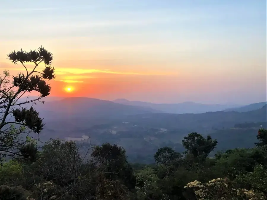
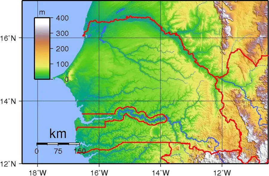
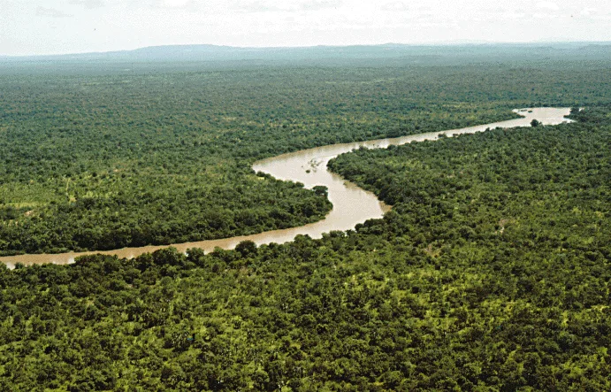
The Falémé relief in the far east of Senegal marks the natural border with neighboring Mali and represents one of the country's most geologically interesting zones. The area is shaped by the Falémé River valley, surrounded by gentle hills and plateau-like elevations that are foothills of the Fouta-Djallon massif. In contrast to the flat western part of Senegal, this region has a more varied relief with elevation changes that are significant by Senegalese standards. The vegetation is a mix of savanna and sparse forests, which turn intensely green during the rainy season. Geologically, the region is renowned for its significant iron ore deposits and gold fields, which have been exploited artisanally for centuries and increasingly industrially. Historically, the Falémé valley was part of the great West African empires and served as an important corridor for caravan routes. Today, due to its remote location and mineral resources, the region is a strategic focal point for the country's economic development. The landscape is characterized by rugged rock formations along the riverbanks, which become particularly prominent during the dry season.
- Location: Senegal
- Nearby: Niokolo-Koba National Park (59 km)
Best time to visit & climate
The most pleasant time to visit is Jan, Nov, Dec.
| Jan | Feb | Mar | Apr | May | Jun | Jul | Aug | Sep | Oct | Nov | Dec | |
|---|---|---|---|---|---|---|---|---|---|---|---|---|
| Avg °C | 26 | 29 | 32 | 34 | 34 | 30 | 27 | 26 | 26 | 27 | 26 | 25 |
| Rain mm | 1 | 1 | 1 | 5 | 40 | 148 | 267 | 363 | 266 | 78 | 5 | 0 |
📋 Practical info
Geography
Facts
- The Falémé River is the most important tributary of the Senegal River in the east.
- The region holds estimated iron ore reserves of over 600 million tons.
- The hills reach elevations of up to 150-200 meters above sea level.
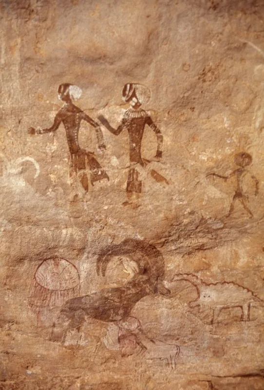
- Gold mining in this region dates back to the Ghana Empire in the 11th century.
- During the dry season (November to May), the Falémé River can dry up in places.
- The rock formations consist predominantly of Precambrian sandstones and granites.
Explore nearby
Notable places around
Route planner — Car & Motorhome
Where do you start? We build the route here, with stops and country notes along the way.
© OpenStreetMap contributors · OpenRouteService
Sights nearby
Frequently asked questions
What is special about the Falémé hills?
When is the best travel time?
Are there organized tours there?
Is the area developed for tourism?
What should one have in their luggage?
Falémé hills: where is it located?
Falémé hills: when is the best time to visit?
Falémé hills: why is it worth visiting?

Nearby cities
Nature
More places