Plizio Visual Lab
Tambacounda plateau

Weather…
Water temperature…
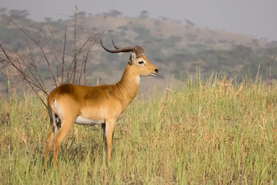
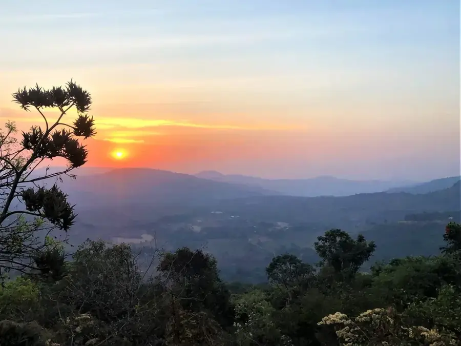
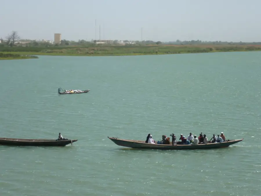
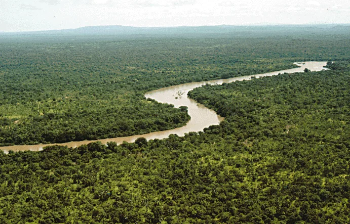
The Tambacounda plateau extends across the southeastern part of Senegal, representing the country largest geographic unit by area. This vast plain is characterized by a transition zone between the dry Sahelian savanna in the north and the wetter Sudanian savannas in the south. The terrain consists primarily of flat, lateritic plateaus intersected by seasonal watercourses, such as the Gambia River and its tributaries. These waters are vital for local biodiversity and agricultural use, particularly for the cultivation of cotton and groundnuts. Geologically, the plateau is part of the Precambrian African shield, reflected in its mineral-rich soil composition. The region also hosts significant national parks that provide sanctuary for endangered animal species. Due to its strategic location on the borders with Mali and Guinea, the plateau has for centuries been an important trade and cultural hub for various ethnic groups, including the Mandinka and Fulbe peoples.
Best time to visit & climate
The most pleasant time to visit is Jan, Nov, Dec.
| Jan | Feb | Mar | Apr | May | Jun | Jul | Aug | Sep | Oct | Nov | Dec | |
|---|---|---|---|---|---|---|---|---|---|---|---|---|
| Avg °C | 26 | 29 | 32 | 34 | 35 | 33 | 29 | 27 | 27 | 28 | 27 | 25 |
| Rain mm | 0 | 1 | 1 | 1 | 9 | 75 | 147 | 234 | 188 | 55 | 2 | 0 |
📋 Practical info
Geography
Facts
- The plateau covers an area of over 42,000 square kilometers.
- The Niokolo-Koba National Park covers a large portion of the southern plateau.
- The region is the primary center for cotton cultivation in Senegal.
- Average annual rainfall ranges between 600 and 900 mm.
- The terrain rises towards the southeast to elevations of up to 100 meters.
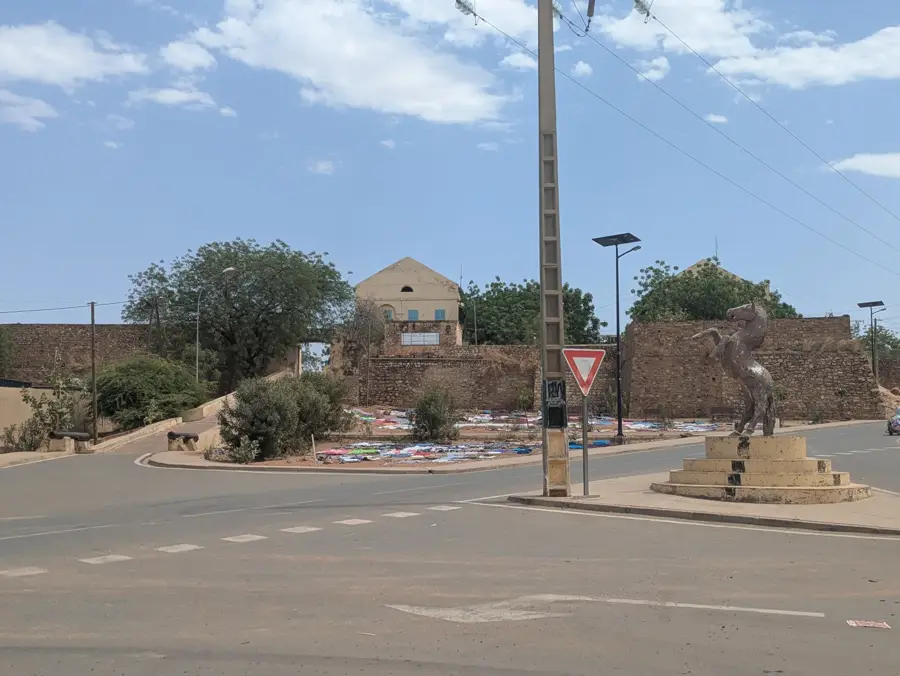
- The Dakar-Bamako railway line crosses the heart of the plateau.
Explore nearby
Notable places around
Route planner — Car & Motorhome
Where do you start? We build the route here, with stops and country notes along the way.
© OpenStreetMap contributors · OpenRouteService
Sights nearby
Frequently asked questions
Is the Tambacounda Plateau touristy?
What is the highlight nearby?
When should one visit the park?
Is the heat a problem there?
Is there good infrastructure there?
Tambacounda plateau: where is it located?
Tambacounda plateau: when is the best time to visit?
Tambacounda plateau: why is it worth visiting?

Nature
More places