Plizio Visual Lab
Gambia River
Weather…
Water temperature…
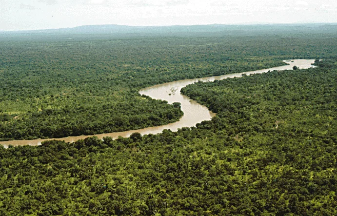
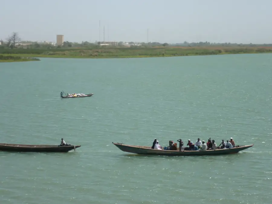
The Gambia River originates in the Fouta Djallon highlands of Guinea and flows for a total of 1,120 kilometers before emptying into the Atlantic Ocean. It traverses southeastern Senegal and bisects the country of The Gambia, defining its unique geographic shape. The river serves as a vital waterway, navigable for ocean-going vessels for approximately 480 kilometers upstream as far as Kuntaur. Its banks are lined with extensive mangrove swamps and dense gallery forests that support an extraordinary biodiversity, including over 600 bird species. Historically, the river became a major trade route for European powers starting in the 15th century, initially for ivory and later for the peanut trade. Today, it remains essential for local fisheries and the irrigation of agricultural lands during the prolonged dry seasons. The river's estuary is one of the most well-preserved ecosystems in West Africa and is subject to several international conservation agreements.
- Location: Senegal
- Nearby: Niokolo-Koba National Park (32 km)
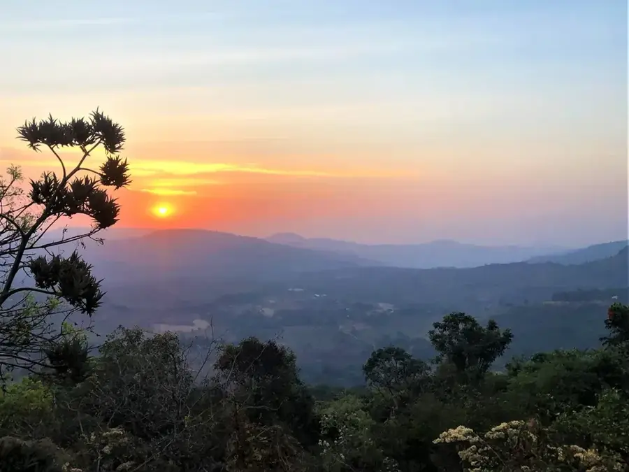
Best time to visit & climate
The most pleasant time to visit is Jan, Nov, Dec.
| Jan | Feb | Mar | Apr | May | Jun | Jul | Aug | Sep | Oct | Nov | Dec | |
|---|---|---|---|---|---|---|---|---|---|---|---|---|
| Avg °C | 26 | 29 | 32 | 34 | 34 | 30 | 27 | 26 | 27 | 27 | 26 | 25 |
| Rain mm | 0 | 1 | 0 | 4 | 30 | 151 | 245 | 328 | 263 | 85 | 5 | 0 |
📋 Practical info
Geography
Facts
- Total length of the river: 1,120 kilometers.
- Navigability: 480 kilometers from the Atlantic mouth.
- Source: Fouta Djallon highlands in Guinea.
- Mouth: Atlantic Ocean at the city of Banjul.
- Drainage basin: Roughly 77,000 square kilometers.
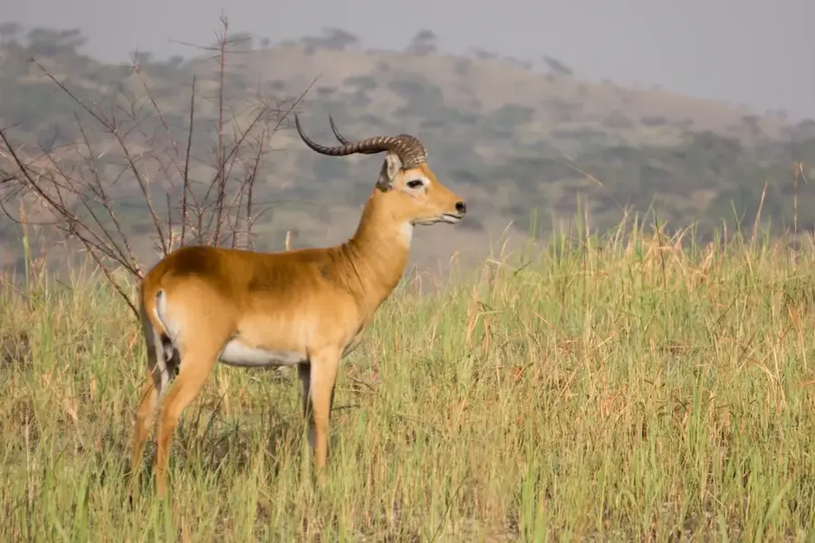
- Wildlife: Home to more than 600 species of birds.
Explore nearby
Notable places around
Route planner — Car & Motorhome
Where do you start? We build the route here, with stops and country notes along the way.
© OpenStreetMap contributors · OpenRouteService
Sights in the town Gambia River (1)
Sights nearby
Frequently asked questions
Can you navigate the Gambia River with boats?
Are there many hippos?
Best time to visit?
Do I need a visa?
Is the region safe?
Gambia River: where is it located?
Gambia River: when is the best time to visit?
Gambia River: why is it worth visiting?

Nearby cities
Nature
More places