Plizio Visual Lab
Falémé river valley
Weather…
Water temperature…
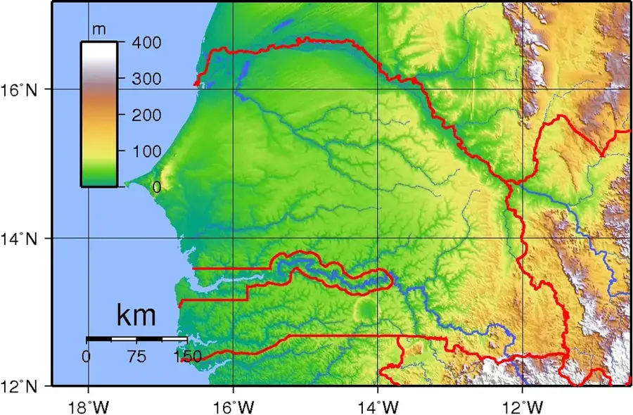
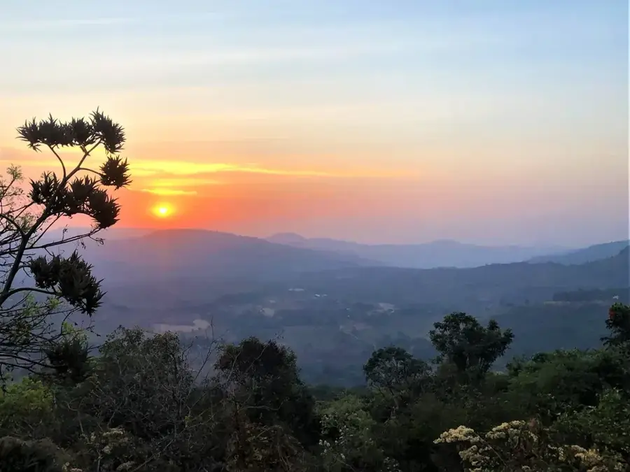
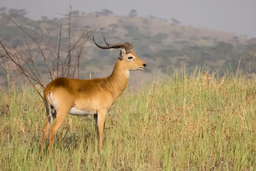
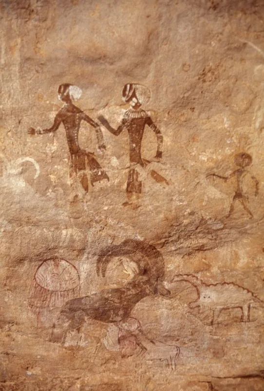
The Falémé river valley stretches along the primary tributary of the Senegal River, forming a significant natural border between Senegal and Mali. The region is geographically defined by the undulating foothills of the Fouta Djallon massif and fertile alluvial soils, providing a critical ecological niche within the semi-arid Sahel environment. Historically, the valley served as a major center for the trans-Saharan gold trade and remains one of West Africa's most prolific gold-producing regions today. In recent decades, the discovery of vast iron ore deposits has further enhanced the valley's strategic economic importance for both neighboring nations. The river exhibits extreme seasonal fluctuations, with high water levels during the monsoon rains from July to October and near-total dryness during the peak summer months. The valley acts as a vital corridor for wildlife migration and is home to the Malinké and Soninké ethnic groups. Mitigating the environmental impact of intensive industrial mining activities on the river's fragile ecosystem is a primary challenge for contemporary regional governance.
- Location: Senegal
- Nearby: Niokolo-Koba National Park (83 km)
Best time to visit & climate
The most pleasant time to visit is Jan, Nov, Dec.
| Jan | Feb | Mar | Apr | May | Jun | Jul | Aug | Sep | Oct | Nov | Dec | |
|---|---|---|---|---|---|---|---|---|---|---|---|---|
| Avg °C | 26 | 29 | 32 | 34 | 35 | 31 | 28 | 26 | 27 | 27 | 26 | 25 |
| Rain mm | 0 | 1 | 1 | 4 | 26 | 118 | 227 | 322 | 242 | 66 | 3 | 0 |
📋 Practical info
Geography
Facts
- The Falémé river flows for approximately 414 kilometers.
- It marks the official international border between Senegal and Mali.
- Iron ore reserves in the valley exceed 600 million tons.
- Primary ancestral homeland of the Malinké ethnic group.
- The annual rainy season occurs between July and October.
- Historically significant for artisanal gold mining since the Middle Ages.
Explore nearby
Notable places around
Route planner — Car & Motorhome
Where do you start? We build the route here, with stops and country notes along the way.
© OpenStreetMap contributors · OpenRouteService
Sights nearby
Frequently asked questions
When is the best time to visit?
Can one camp by the river?
Is the area safe?
Is a 4WD vehicle necessary?
What precautions should one take?
Falémé river valley: where is it located?
Falémé river valley: when is the best time to visit?
Falémé river valley: why is it worth visiting?

Nature
More places