Plizio Visual Lab
Senegal Delta plains

Weather…
Water temperature…
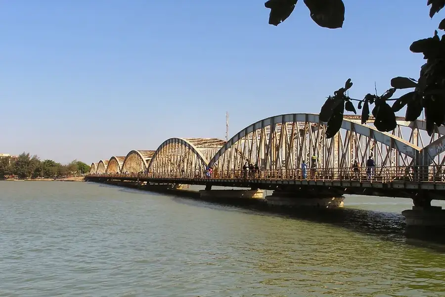
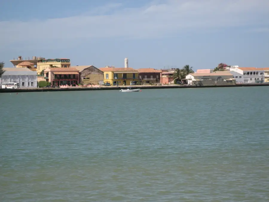
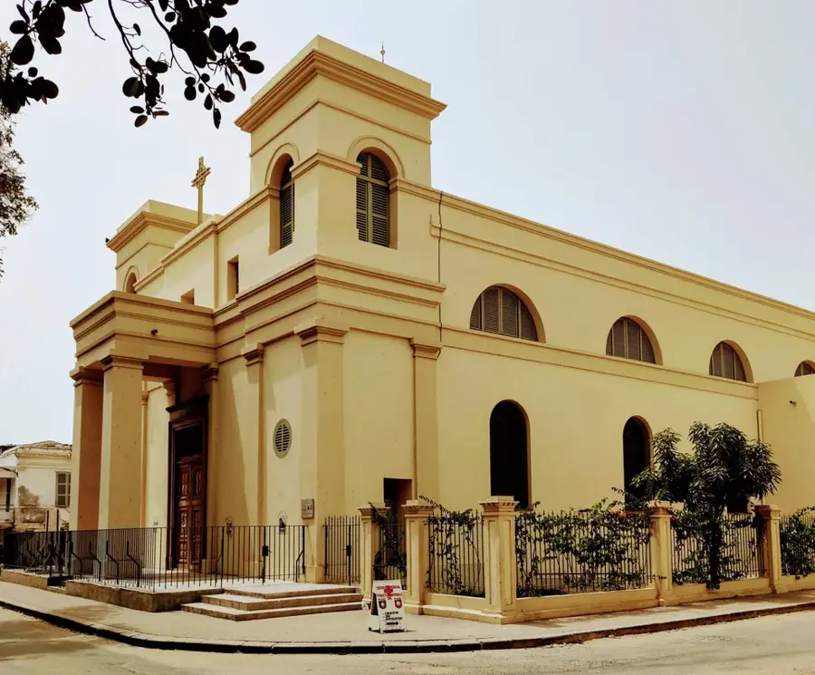
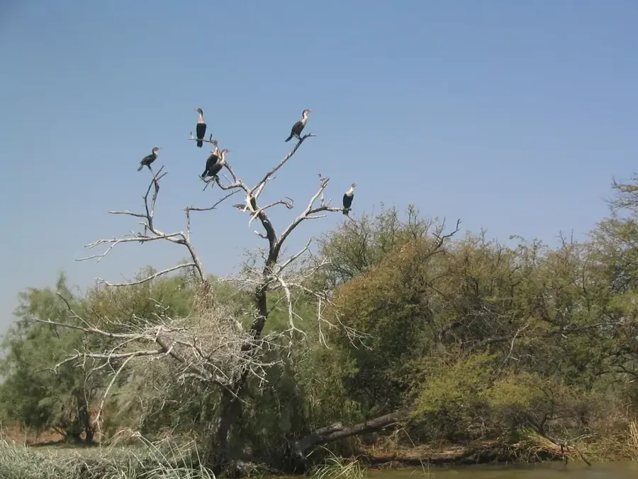
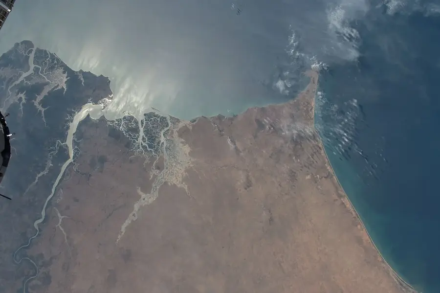
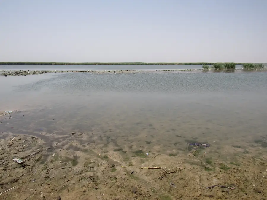
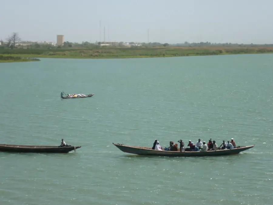
The Senegal Delta plains in the north of the country form the mouth of the mighty Senegal River into the Atlantic and constitute an ecologically and economically vital zone. The relief is characterized by an extremely flat topography, crisscrossed by numerous dikes, canals, and artificial basins for industrial rice cultivation. Much of the plain is now intensively irrigated, making it Senegal's most important 'rice basket.' Geologically, it consists of recent sedimentary deposits showing a complex hydrology between freshwater and brackish water. A highlight of the region is the Djoudj National Bird Sanctuary, one of the most significant bird sanctuaries in the world, located in the seasonally flooded areas of the delta. Historically, the delta was the jumping-off point for French colonization of West Africa, symbolized by the city of Saint-Louis at the river's mouth. The dynamics of the delta were significantly altered by the construction of the Diama Dam in the 1980s to prevent saltwater intrusion and allow year-round agriculture. Despite intensive use, the plain preserves vast stretches of wild nature that are indispensable, particularly for migratory birds from Europe.
- Location: Senegal
- Nearby: Djoudj National Bird Park (7 km)
Best time to visit & climate
The most pleasant time to visit is Jan, Feb, Dec.
| Jan | Feb | Mar | Apr | May | Jun | Jul | Aug | Sep | Oct | Nov | Dec | |
|---|---|---|---|---|---|---|---|---|---|---|---|---|
| Avg °C | 22 | 22 | 24 | 24 | 25 | 27 | 28 | 29 | 29 | 29 | 26 | 23 |
| Rain mm | 3 | 9 | 24 | 1 | 0 | 8 | 45 | 102 | 91 | 15 | 1 | 0 |
📋 Practical info
Geography
Facts
- The Senegal Delta extends over an area of approximately 3,400 km².
- The Djoudj Sanctuary hosts up to 3 million migratory birds during the winter.
- The region provides about 60% of Senegal's national rice production.
- The Diama Dam is located about 27 km upstream from Saint-Louis.
- The plain partly lies below sea level, necessitating the construction of dikes.
- The delta was mapped by European traders as early as the 17th century.
Explore nearby
Notable places around
Route planner — Car & Motorhome
Where do you start? We build the route here, with stops and country notes along the way.
© OpenStreetMap contributors · OpenRouteService
Sights nearby
Frequently asked questions
What is the Senegal Delta famous for?
How to visit the delta?
Which birds are seen most frequently?
Is a reservation necessary?
Is photography allowed in the delta?
Senegal Delta plains: where is it located?
Senegal Delta plains: when is the best time to visit?
Senegal Delta plains: why is it worth visiting?

History & landmarks

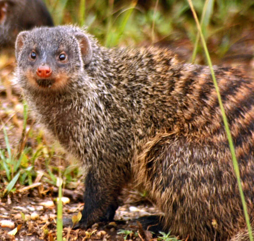
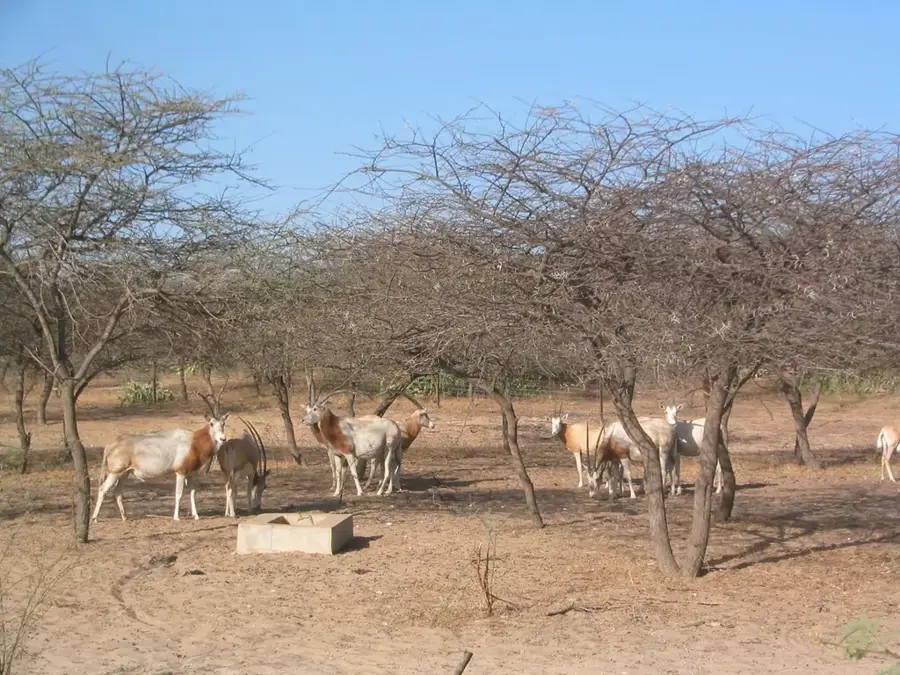
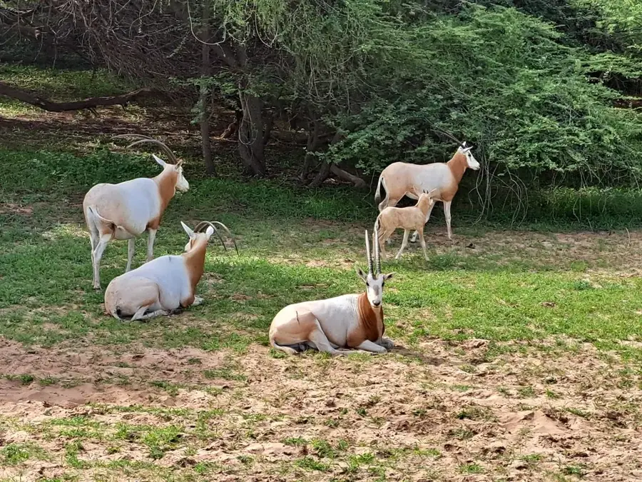
Nature

More places