Plizio Visual Lab
Northern coastal plain
Weather…
Water temperature…
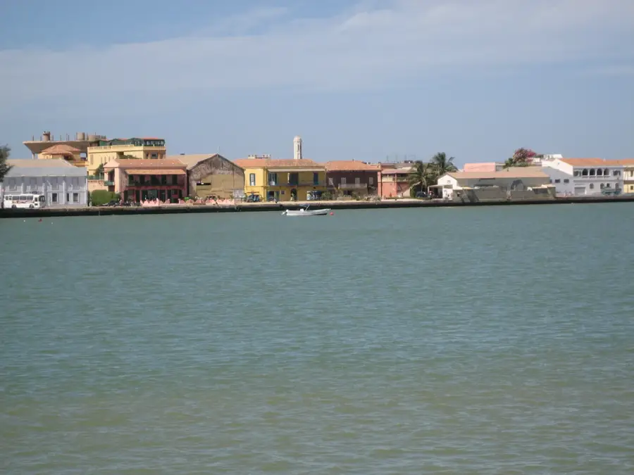
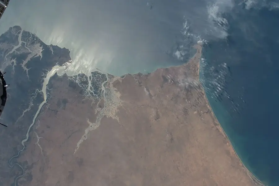
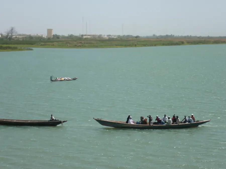
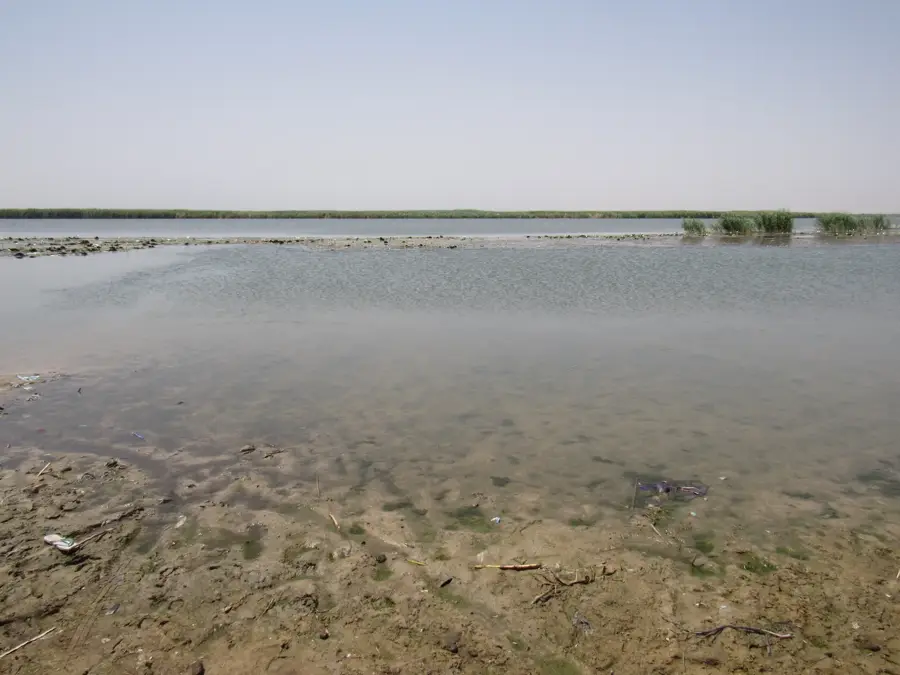
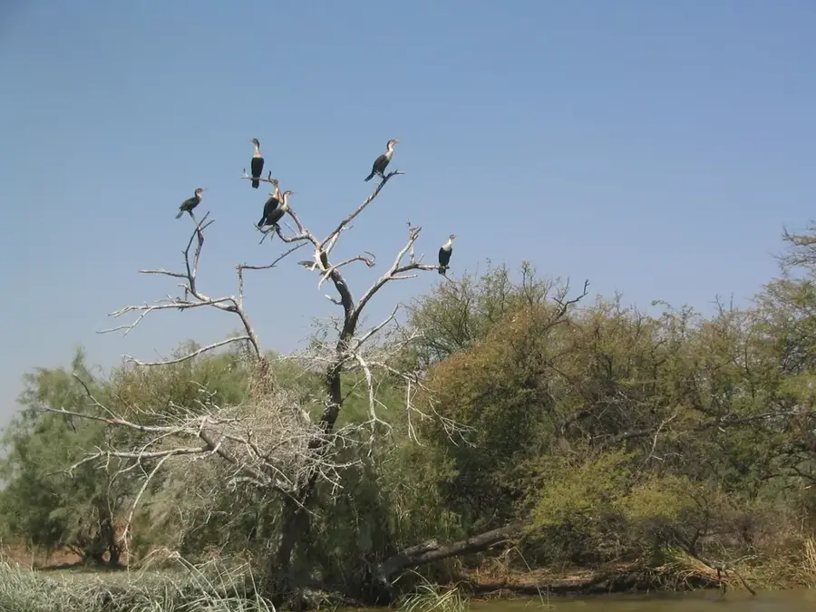
The northern coastal plain of Senegal, also known as the Grande Côte, stretches from the Cap-Vert peninsula to the mouth of the Senegal River near Saint-Louis. This approximately 150-kilometer-long coastal strip is characterized by a dynamic system of white sand dunes, interrupted inland by the Niayes depressions. The Niayes are moist hollows with shallow groundwater that enable intensive market gardening, supplying the capital city of Dakar with fresh vegetables. Geologically, the plain is a young sedimentary basin formed by marine deposits and aeolian processes during the Quaternary period. The climate here is significantly milder than in the interior, as the cool Canary Current and trade winds provide moderate temperatures. Ecologically, the coastal plain provides essential resting spots for migratory birds and hosts specialized plant communities adapted to salt spray. Historically, the region was an important site for Wolof and Lebou fishing villages, which continue to shape the local culture today.
- Location: Senegal
- Nearby: Djoudj National Bird Park (39 km)
Best time to visit & climate
The most pleasant time to visit is Jan, Feb, Dec.
| Jan | Feb | Mar | Apr | May | Jun | Jul | Aug | Sep | Oct | Nov | Dec | |
|---|---|---|---|---|---|---|---|---|---|---|---|---|
| Avg °C | 22 | 23 | 25 | 25 | 27 | 28 | 29 | 29 | 29 | 29 | 27 | 24 |
| Rain mm | 3 | 9 | 38 | 2 | 0 | 10 | 65 | 123 | 109 | 20 | 1 | 0 |
📋 Practical info
Geography
Facts
- The coastline stretches over a length of approximately 150 kilometers.
- The dunes reach heights of up to 30 meters in some places.
- The cool Canary Current lowers coastal temperatures by about 5 to 10 degrees.
- About 80% of Senegalese vegetables are grown in the Niayes depressions.
- The Lompoul Desert is a well-known dune area within this plain.
- The region is rich in zircon and ilmenite deposits found in the coastal sands.
Explore nearby
Notable places around
Route planner — Car & Motorhome
Where do you start? We build the route here, with stops and country notes along the way.
© OpenStreetMap contributors · OpenRouteService
Sights nearby
Frequently asked questions
What does the Northern Coastal Plain offer?
Can one eat well there?
When is it most beautiful?
Is the place suitable for a beach vacation?
Is a visa required?
Northern coastal plain: where is it located?
Northern coastal plain: when is the best time to visit?
Northern coastal plain: why is it worth visiting?

History & landmarks

Nature

More places