Plizio Visual Lab
Senegal River Valley

Weather…
Water temperature…
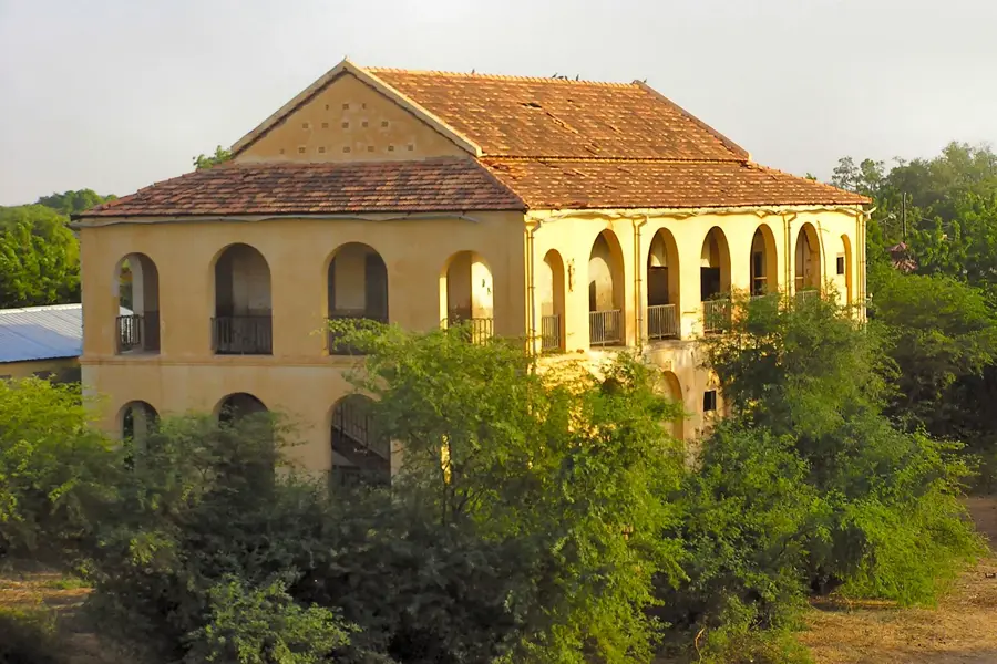
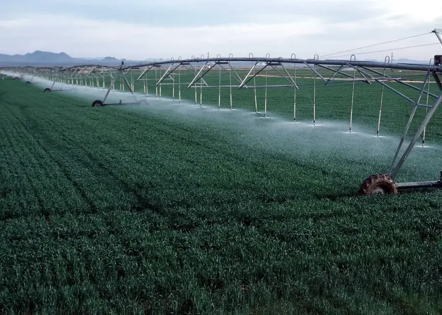
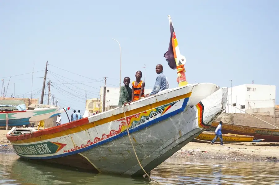
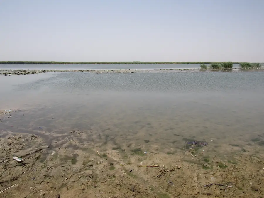
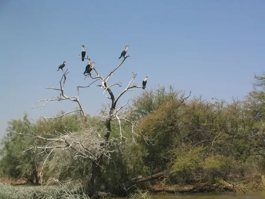
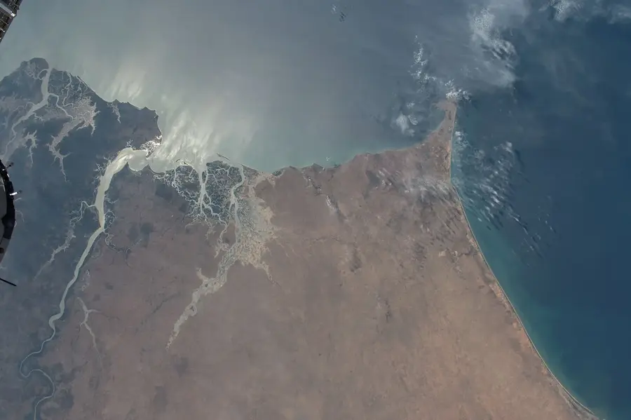
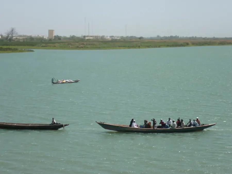
The Senegal River Valley forms a vital fertile corridor through the otherwise arid Sahelian landscape of northern Senegal, serving as the natural border with Mauritania. Stretching hundreds of kilometers from Bakel to the delta at Saint-Louis, the valley is defined by broad alluvial plains created by millennia of river deposits. Historically, this region was the heartland of powerful states like Fouta Toro and remains a densely populated agricultural hub. The implementation of major hydraulic projects, such as the Diama Dam near the coast and the Manantali Dam in Mali, has regulated the river's flow, enabling year-round rice farming and large-scale sugarcane plantations. While boosting food production, these dams have also disrupted traditional recession agriculture and altered the natural delta ecosystems. The valley is an indispensable resource for Peul pastoralists and provides a sanctuary for diverse birdlife. Despite intensive land use, it remains a cultural bedrock of Senegal, deeply connected to the river's life-giving waters.
Best time to visit & climate
The most pleasant time to visit is Jan, Feb, Dec.
| Jan | Feb | Mar | Apr | May | Jun | Jul | Aug | Sep | Oct | Nov | Dec | |
|---|---|---|---|---|---|---|---|---|---|---|---|---|
| Avg °C | 23 | 25 | 28 | 31 | 33 | 33 | 31 | 30 | 29 | 30 | 27 | 24 |
| Rain mm | 2 | 2 | 1 | 0 | 0 | 17 | 86 | 141 | 108 | 17 | 1 | 0 |
📋 Practical info
Geography
Facts
- The Senegal River is the second longest in West Africa at 1,790 km.
- The valley contains the country's most extensive rice-growing regions.
- The Diama Dam has prevented saltwater intrusion upstream since 1986.
- The historic Fouta Toro region is the cultural center of the valley.
- Critical habitat for the African spoonbill and various wading birds.
- Fertile 'Walo' soils are traditionally farmed after the annual flood.
Explore nearby
Notable places around
Route planner — Car & Motorhome
Where do you start? We build the route here, with stops and country notes along the way.
© OpenStreetMap contributors · OpenRouteService
Sights in the town Senegal River Valley (1)
Sights nearby
Frequently asked questions
What is the best way to explore the river valley?
Best season?
Are mosquitoes a big problem?
Are there cultural peculiarities?
Is the region safe?
Senegal River Valley: where is it located?
Senegal River Valley: when is the best time to visit?
Senegal River Valley: why is it worth visiting?

History & landmarks
Nature
More places