Plizio Visual Lab
Wadi al-Rummah
Weather…
Water temperature…
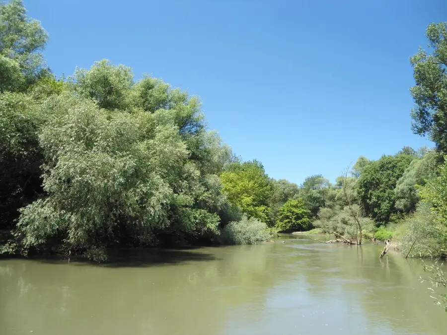
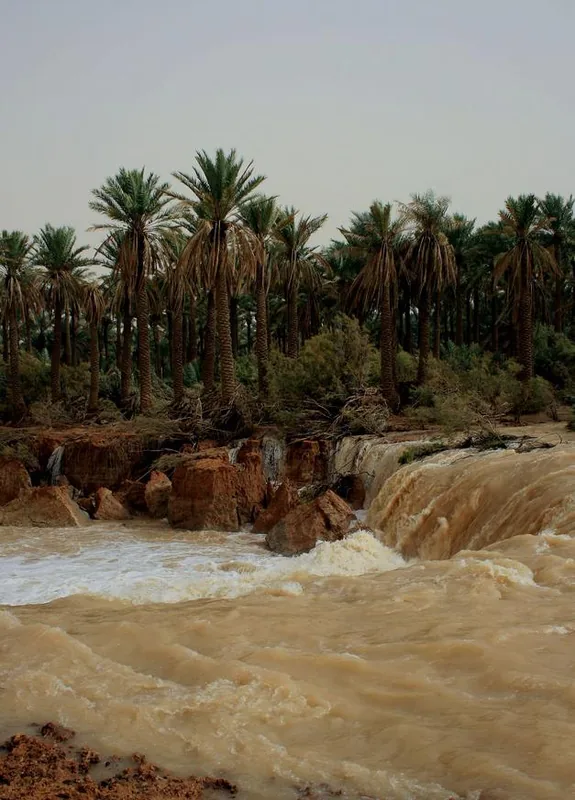
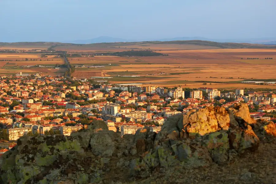
Wadi al-Rummah is the longest and most significant river valley in Saudi Arabia, stretching for approximately 600 kilometers across the central and northern parts of the country. Originating near Medina on the eastern slopes of the Hijaz Mountains, the wadi flows eastward through the Al-Qassim region before eventually losing its surface flow in the sands of the Ad-Dahna desert. Although it remains dry most of the time, the wadi is a remnant of an ancient river system that flowed thousands of years ago when the Arabian Peninsula experienced a more humid climate. On rare occasions of heavy rainfall, the valley experiences massive flash floods that can transform the arid landscape into a temporary river, as seen during major events in 1982 and 2008. The wadi is of immense agricultural importance, as the underlying groundwater aquifers support extensive palm groves and vegetable farms in cities like Buraidah and Unaizah. Historically, the valley served as a natural corridor for trade and migration, connecting the interior of the peninsula with the eastern regions. Today, it is a subject of intense hydrological study to manage its water resources and protect nearby settlements from the impact of periodic flooding.
Best time to visit & climate
The most pleasant time to visit is Mar, Apr, Nov.
| Jan | Feb | Mar | Apr | May | Jun | Jul | Aug | Sep | Oct | Nov | Dec | |
|---|---|---|---|---|---|---|---|---|---|---|---|---|
| Avg °C | 12 | 14 | 19 | 24 | 30 | 33 | 35 | 35 | 31 | 26 | 19 | 13 |
| Rain mm | 2 | 2 | 2 | 7 | 0 | 0 | 0 | 3 | 0 | 0 | 5 | 7 |
📋 Practical info
Geography
Facts
- Longest wadi system in the Arabian Peninsula (approx. 600 km)
- Originates near Medina in the Hijaz Mountains
- Becomes a raging river during rare extreme rainfall events
- Primary source of groundwater for the Al-Qassim region
- Supports massive date palm plantations in Buraidah and Unaizah
- Remnant of an ancient river system from a more humid era
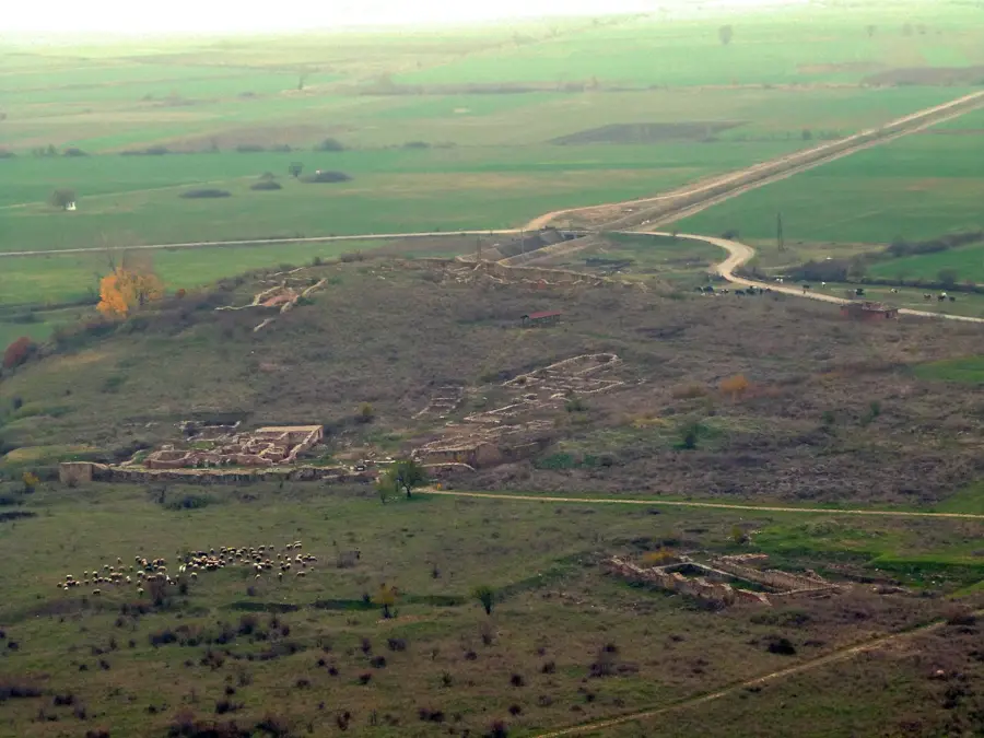
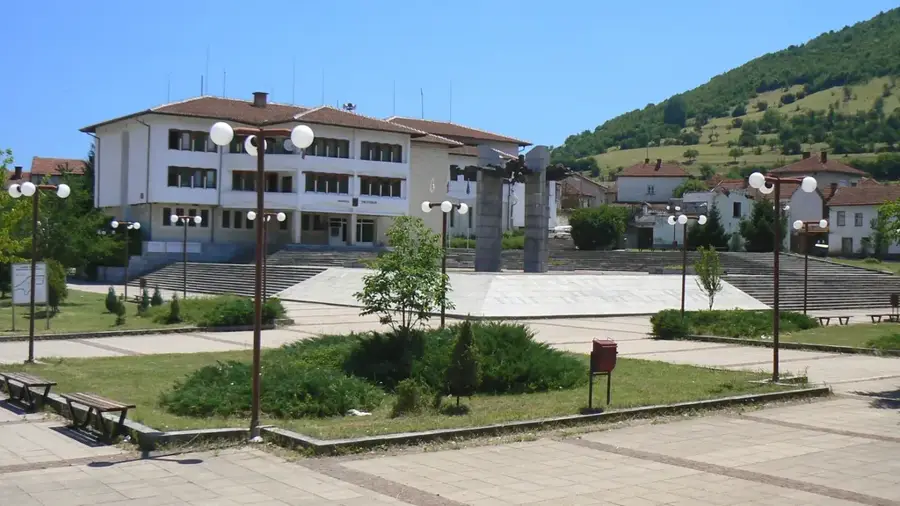
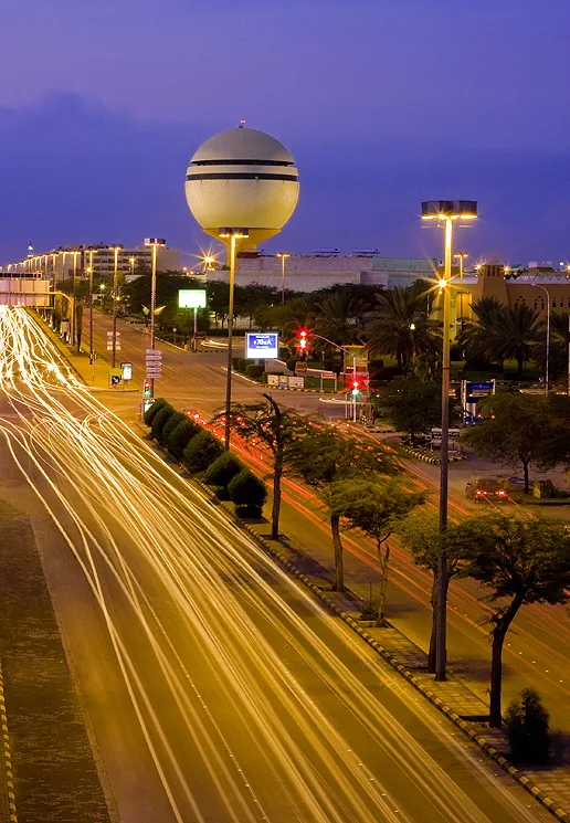
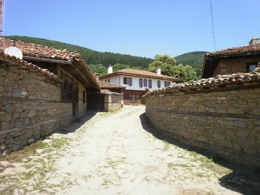
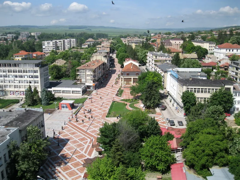
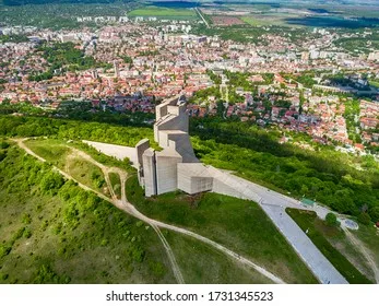
Explore nearby
Notable places around
Route planner — Car & Motorhome
Where do you start? We build the route here, with stops and country notes along the way.
© OpenStreetMap contributors · OpenRouteService
Sights nearby
Frequently asked questions
What is Wadi ar-Rummah?
Is it good for walking?
Is it safe to hike there when it rains?
Do I need a 4x4 vehicle?
What is the best season?
Wadi al-Rummah: where is it located?
Wadi al-Rummah: when is the best time to visit?
Wadi al-Rummah: why is it worth visiting?

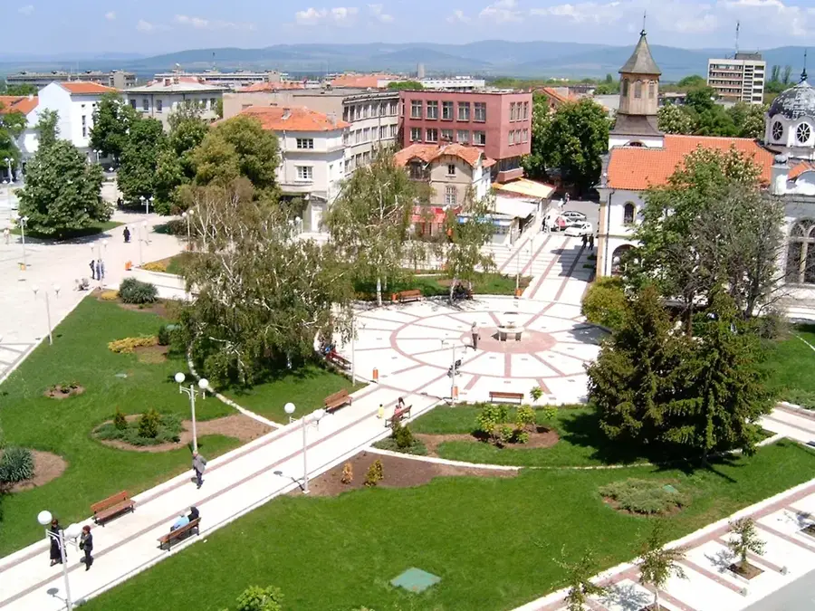
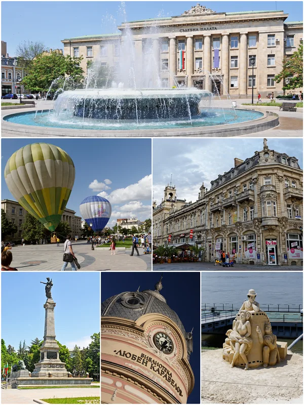
Nearby cities


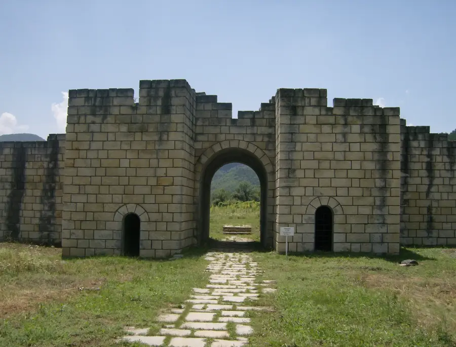
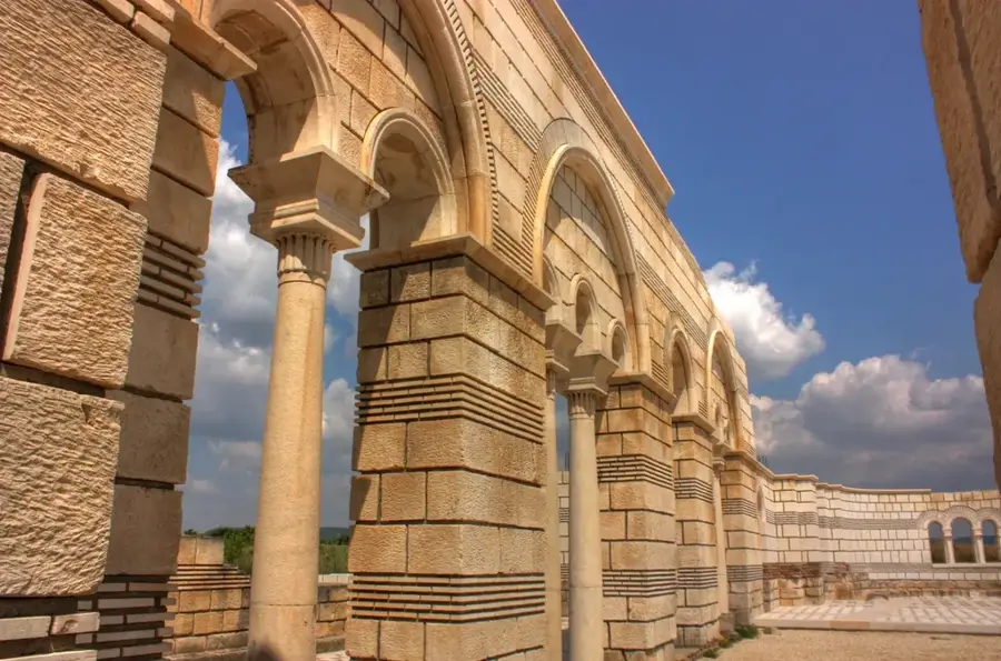
History & landmarks

More places