Plizio Visual Lab
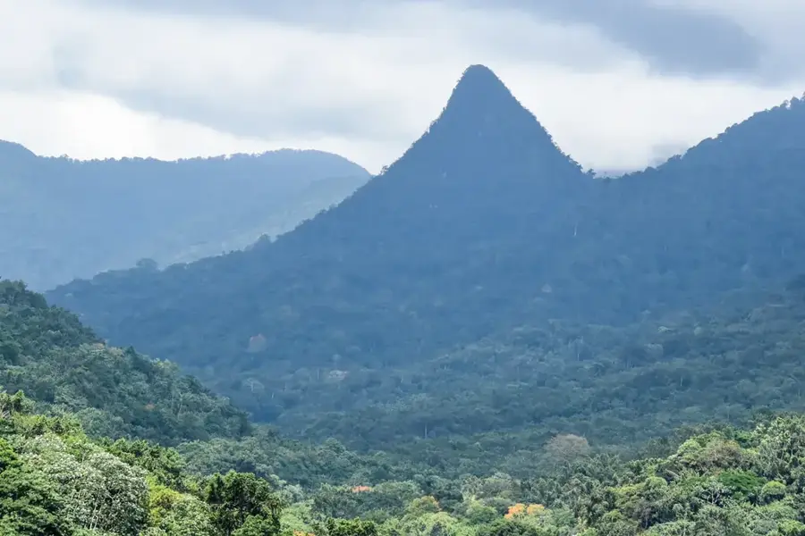
Morro Vilela
Weather…
Water temperature…
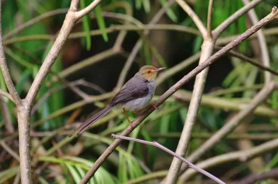
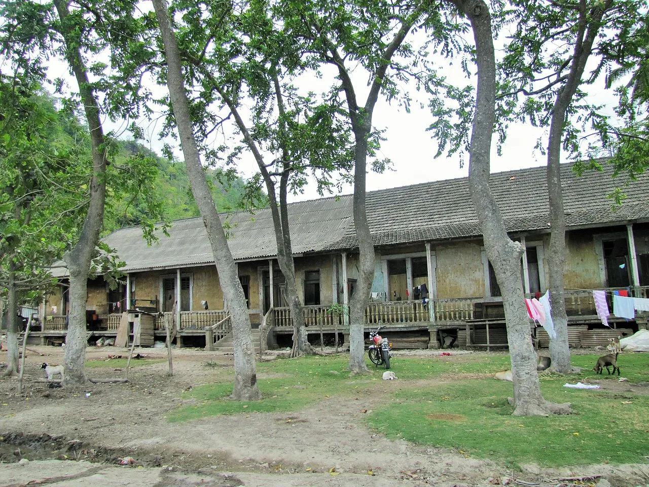
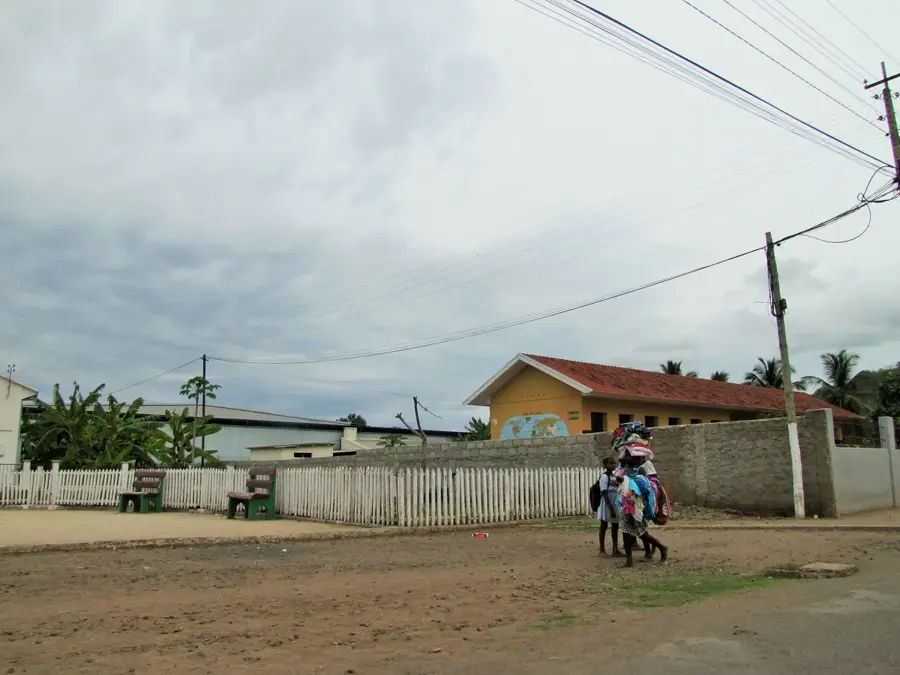
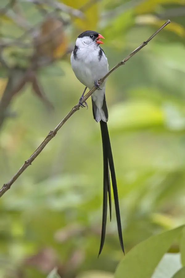
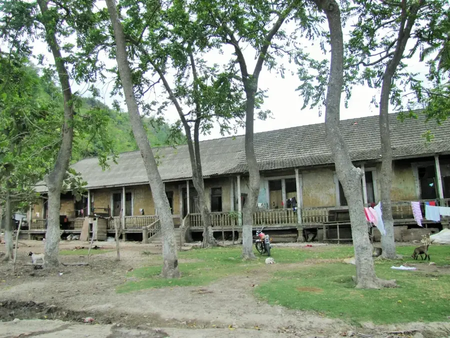
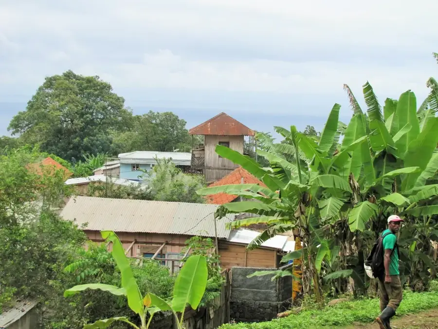
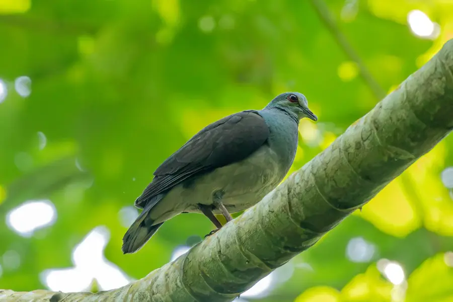
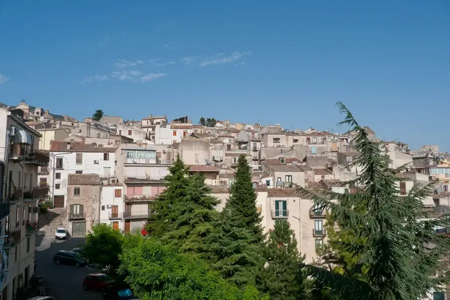
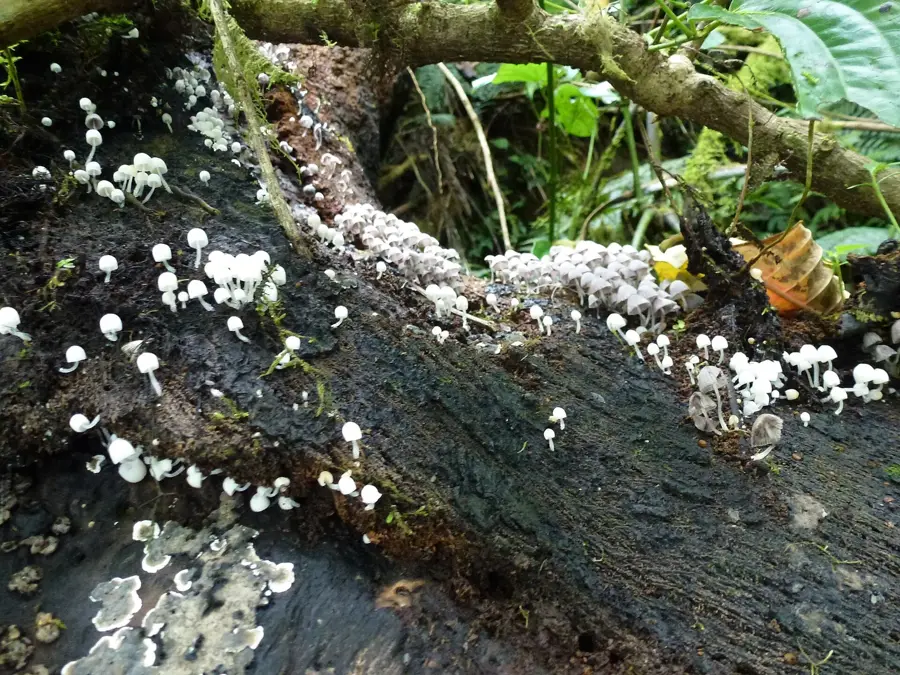
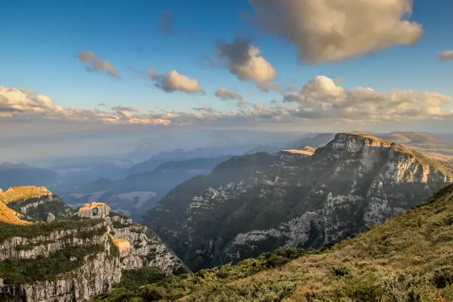
Morro Vilela is a prominent volcanic elevation located in the northwestern part of São Tomé island, within the island nation of São Tomé and Príncipe. Rising to approximately 608 meters above sea level, this mountain is a significant component of the island's geological formation, which originated from volcanic activity along the Cameroon Line. The slopes of the mountain are covered with dense tropical rainforest, boasting high biodiversity and forming part of the island's essential ecological network. During the colonial era, the region surrounding Morro Vilela was frequently used for cocoa plantations, as the volcanic soil is exceptionally fertile. Today, the area is primarily of interest to hikers and naturalists, providing insights into the pristine flora and fauna of the Gulf of Guinea. The climatic conditions at the mountain are characterized by high humidity and regular rainfall, which facilitates the creation of numerous small watercourses that irrigate the surrounding valleys.
- Location: São Tomé & Príncipe
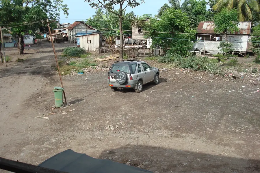
- Nearby: Diogo Vaz (6 km)
Best time to visit & climate
The most pleasant time to visit is Jul–Sep.
| Jan | Feb | Mar | Apr | May | Jun | Jul | Aug | Sep | Oct | Nov | Dec | |
|---|---|---|---|---|---|---|---|---|---|---|---|---|
| Avg °C | 27 | 28 | 28 | 28 | 27 | 26 | 25 | 25 | 26 | 26 | 27 | 27 |
| Rain mm | 125 | 115 | 162 | 176 | 129 | 44 | 23 | 19 | 35 | 100 | 142 | 130 |
📋 Practical info
Geography
Facts
- The official elevation of Morro Vilela is recorded at 608 meters above sea level.
- The peak is situated in the Lembá District in the northwestern part of São Tomé Island.
- It belongs to the Cameroon Line, a geological feature consisting of a string of volcanoes.
- The surrounding area contains historical colonial Portuguese plantations known as 'roças'.
- Annual rainfall in this mountainous region can exceed 3,000 mm per year.
- The vegetation includes endemic species of the genus Impatiens and various tropical ferns.
Explore nearby
Notable places around
Route planner — Car & Motorhome
Where do you start? We build the route here, with stops and country notes along the way.
© OpenStreetMap contributors · OpenRouteService
Sights nearby
Frequently asked questions
Can you climb Morro Vilela?
What is the vegetation like?
Are pets allowed?
Is there water supply?
Which is the best season?
Morro Vilela: where is it located?
Morro Vilela: when is the best time to visit?
Morro Vilela: why is it worth visiting?

Nearby cities


Nature
More places