Plizio Visual Lab
Karisimbi Slopes

Weather…
Water temperature…
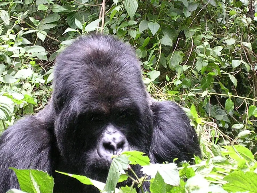
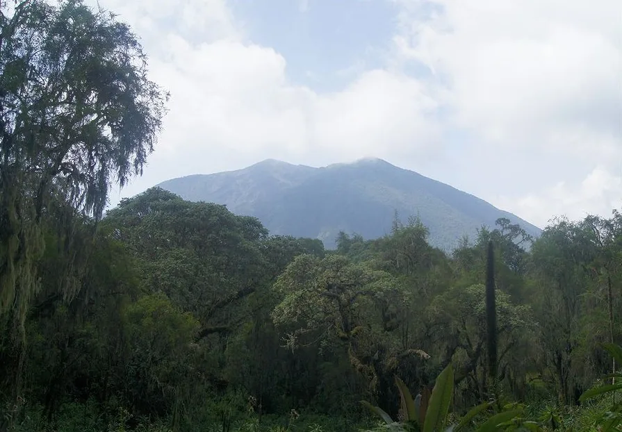
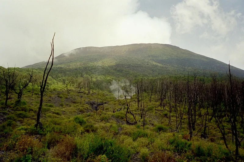
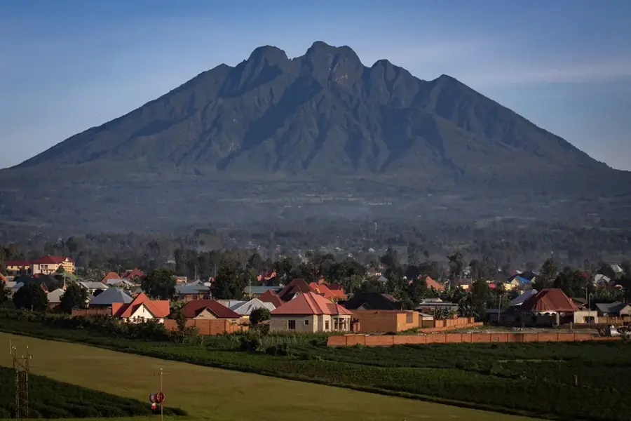
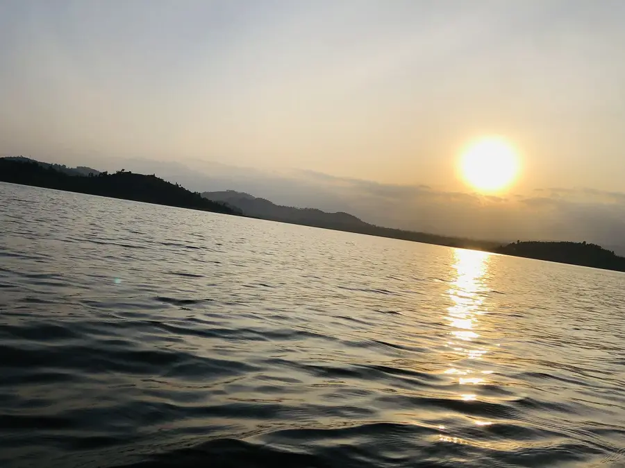
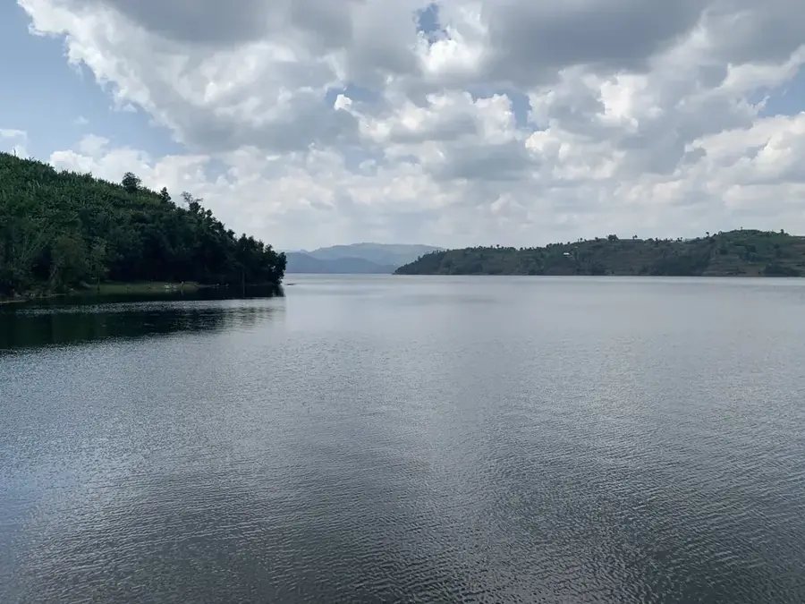
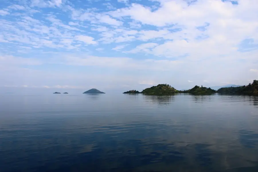
The slopes of Mount Karisimbi, the highest peak in the Virunga Mountains, stretch along the border between Rwanda and the Democratic Republic of the Congo. Reaching an elevation of 4,507 meters, Karisimbi is a dormant stratovolcano whose flanks are characterized by exceptional vertical vegetation zoning. The lower slopes are covered in dense montane rainforest, transitioning into bamboo forests and eventually alpine moorlands at higher altitudes. This region is world-renowned as one of the last sanctuaries for the endangered mountain gorillas, whose conservation was significantly advanced by Dian Fossey's work at the nearby Karisoke Research Center. Geologically, the massif is part of the Albertine Rift and serves as evidence of the intense tectonic activity within the East African Rift System. The slopes are frequently shrouded in dense mist, creating unique microclimates that support a high density of endemic plant species. Despite the extreme conditions, the area remains a vital field for research in volcanology and high-altitude ecology.
- Location: Rwanda
- Nearby: Kora (14 km)
Best time to visit & climate
The most pleasant time to visit is Jun–Aug.
| Jan | Feb | Mar | Apr | May | Jun | Jul | Aug | Sep | Oct | Nov | Dec | |
|---|---|---|---|---|---|---|---|---|---|---|---|---|
| Avg °C | 17 | 18 | 18 | 18 | 17 | 17 | 17 | 17 | 18 | 17 | 17 | 17 |
| Rain mm | 127 | 127 | 206 | 183 | 142 | 74 | 45 | 92 | 139 | 190 | 218 | 154 |
📋 Practical info
Geography
Facts
- Mount Karisimbi is the highest volcano in the Virunga range at 4,507 meters.
- The name is derived from the Kinyarwanda word for white, referencing frequent snow.
- The Karisoke Research Center was established in 1967 between Karisimbi and Bisoke.
- The slopes host approximately one-third of the global mountain gorilla population.
- Geologically, the mountain belongs to the volcanic province of the Western Rift.
- The alpine zone begins above 3,500 meters, featuring giant senecios and lobelias.
Explore nearby
Notable places around
Route planner — Car & Motorhome
Where do you start? We build the route here, with stops and country notes along the way.
© OpenStreetMap contributors · OpenRouteService
Sights in the town Karisimbi Slopes (1)
Sights nearby
Frequently asked questions
Is climbing Karisimbi difficult?
How many days does the tour take?
What gear is necessary?
Is there snow on the peak?
Can you hike during the rainy season?
Karisimbi Slopes: where is it located?
Karisimbi Slopes: when is the best time to visit?
Karisimbi Slopes: why is it worth visiting?

Nearby cities

History & landmarks
Nature

More places