Plizio Visual Lab
Pip Ivan Marmaros
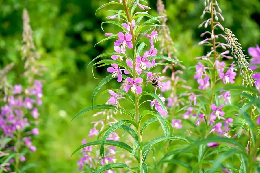
Pip Ivan Marmaroskyi is a prominent peak in the Eastern Carpathians, standing at 1,936 meters directly on the international border between Ukraine and Romania. Due to its sharp, pyramidal shape and rugged rocky cliffs, it is frequently called the 'Carpathian Matterhorn.' Unlike its namesake in the Chornohora range, this mountain is composed of crystalline schists, giving it a much more alpine and jagged appearance. The slopes are celebrated for their botanical richness, featuring vast carpets of blooming rhododendrons and rare species like edelweiss. Because the summit is located in a restricted border zone, hikers often need special permits to visit, which has helped preserve the pristine condition of its environment. From the top, one can enjoy an unparalleled 360-degree panorama that includes the Rodna Alps in Romania to the south and the high ridges of the Ukrainian Carpathians to the north. The area remains a vital part of the Carpathian Biosphere Reserve, protecting ancient forests and high-altitude habitats.
- Location: Ukraine
- Top sights: Marmaros protected massif · Pip Ivan Marmaros · Berlebashka
- Nearby: Rakhiv (17 km)
Best time to visit & climate
The most pleasant time to visit is Jun–Aug.
| Jan | Feb | Mar | Apr | May | Jun | Jul | Aug | Sep | Oct | Nov | Dec | |
|---|---|---|---|---|---|---|---|---|---|---|---|---|
| Avg °C | -7 | -5 | -1 | 6 | 11 | 15 | 17 | 17 | 12 | 6 | 1 | -4 |
| Rain mm | 51 | 51 | 65 | 66 | 114 | 125 | 120 | 80 | 76 | 69 | 56 | 55 |
📋 Practical info
Geography
Facts
- The peak reaches an altitude of 1,936 meters
- Positioned directly on the border with Romania
- Commonly nicknamed the 'Carpathian Matterhorn'
- Composed primarily of ancient crystalline schists
- Part of the Marmaros mountain massif
- Access typically requires a special border permit
Explore nearby
Notable places around
Route planner — Car & Motorhome
Where do you start? We build the route here, with stops and country notes along the way.
© OpenStreetMap contributors · OpenRouteService
Sights in the town Pip Ivan Marmaros (4)
Sights nearby
Frequently asked questions
Where is Mount Pip Ivan Marmaros located?
Is a permit required for the ascent?
How high is the peak?
Why is the massif called the 'Hutsul Alps'?
When is there snow on the peak?
Pip Ivan Marmaros: where is it located?
Pip Ivan Marmaros: what is there to see?
Pip Ivan Marmaros: when is the best time to visit?
Pip Ivan Marmaros: why is it worth visiting?

Nearby cities