Plizio Visual Lab
Fărcău Peak
Weather…
Water temperature…
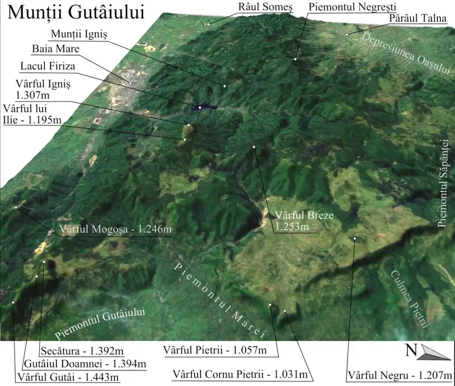
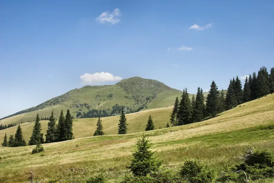
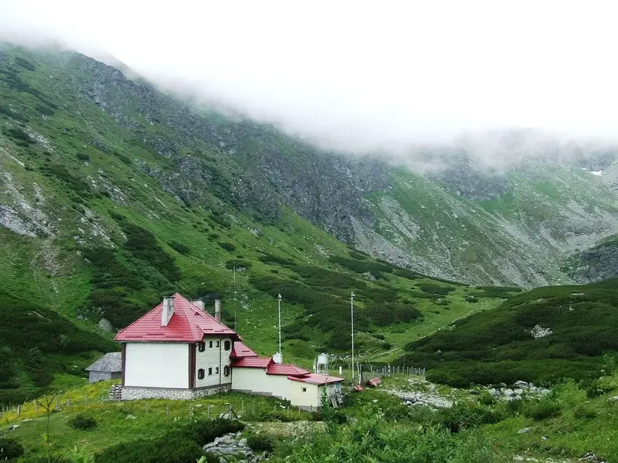
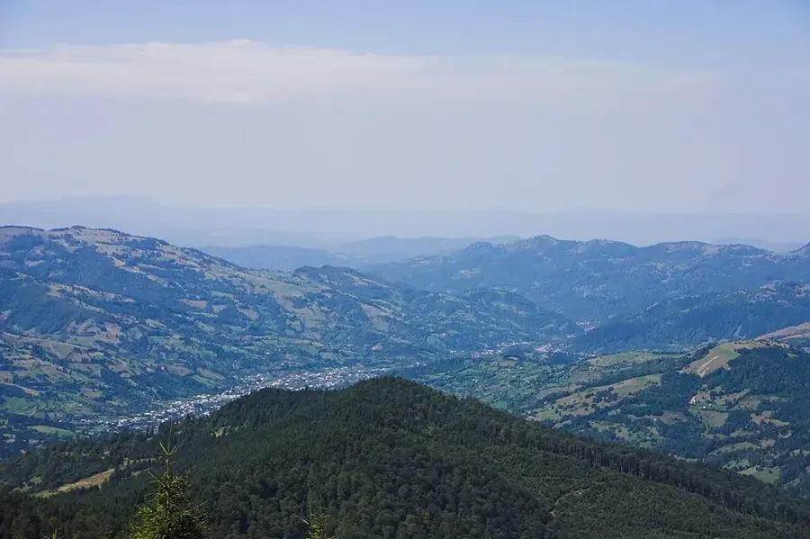
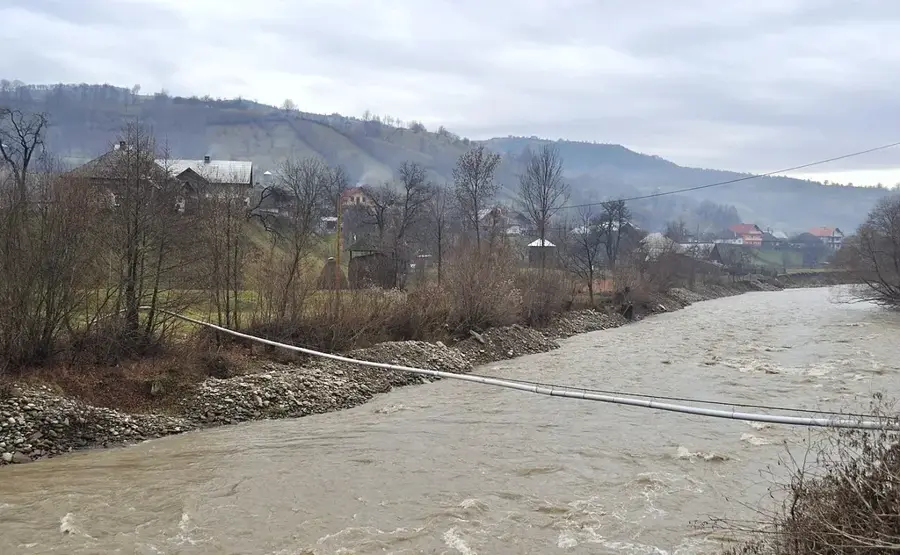
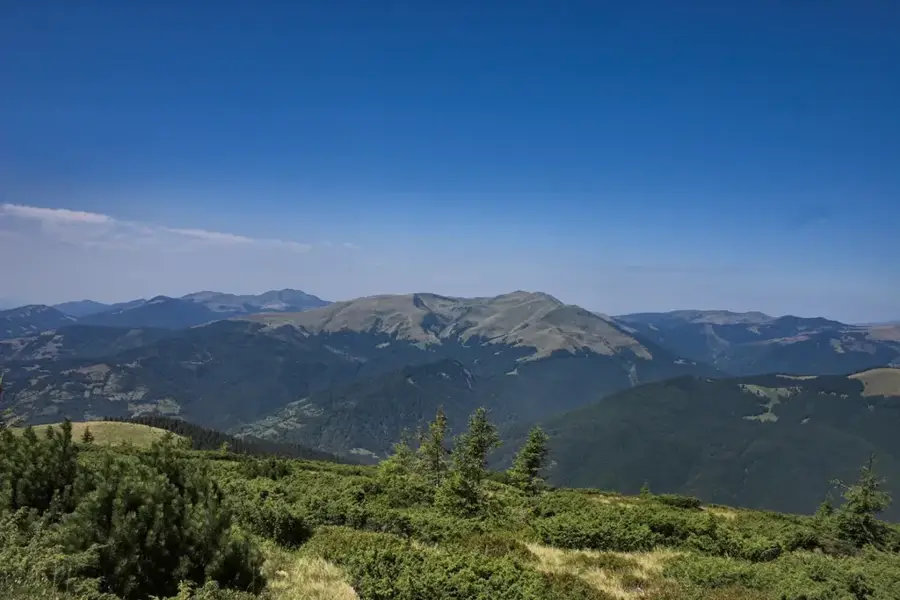
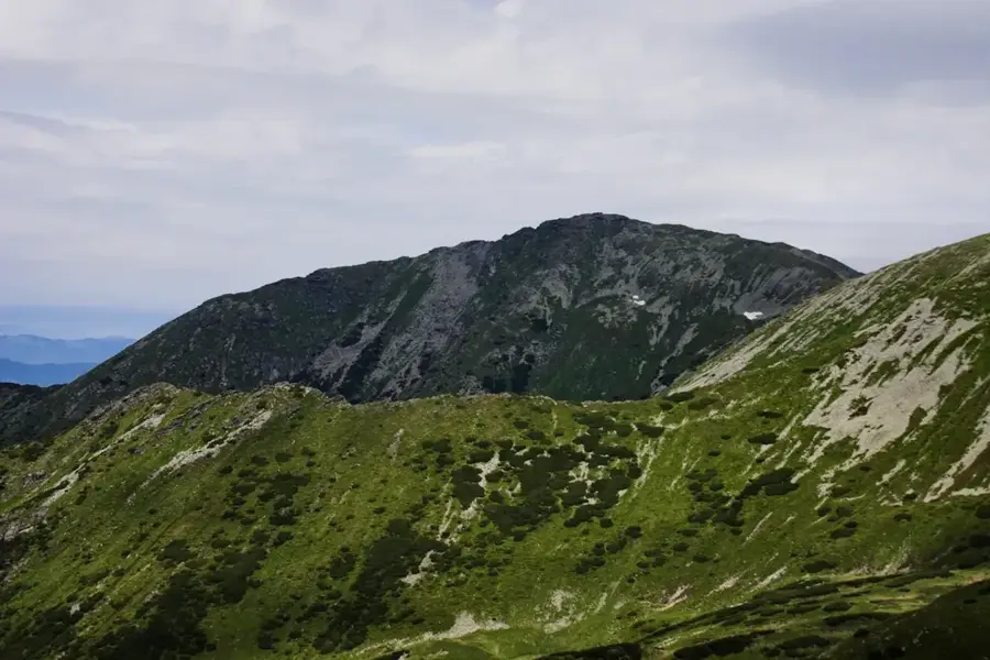
Fărcău Peak is the highest elevation of the Fărcău-Mihailecu massif in the Maramureș Mountains of northern Romania, standing at 1961 meters. Located very close to the Ukrainian border, the peak is characterized by its imposing, dome-like shape that rises significantly above the neighboring valleys. Geologically, it is part of a crystalline massif shaped by Quaternary glaciations, which carved deep glacial cirques and left moraine deposits along its flanks. A notable feature just below the summit is Lake Vinderel, the highest glacial lake in the Maramureș range, positioned in a spectacular mountain saddle. Historically, the region served as a strategic borderland and is now a sanctuary for hikers seeking solitude and pristine landscapes. The subalpine vegetation features expansive grasslands and thickets of rhododendrons that bloom brilliantly in early summer. From the summit, one can enjoy sweeping views of the Ukrainian Wooded Carpathians to the north and the Rodna Mountains to the south. Reaching Fărcău involves long and steep climbs, but the scenic diversity and rich wildlife, including birds of prey and mountain goats, make the trek highly rewarding.
- Location: Maramureș, Romania
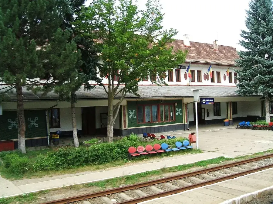
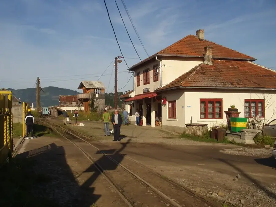
- Nearby: Poienile de sub Munte (11 km)
Best time to visit & climate
The most pleasant time to visit is Jun–Aug.
| Jan | Feb | Mar | Apr | May | Jun | Jul | Aug | Sep | Oct | Nov | Dec | |
|---|---|---|---|---|---|---|---|---|---|---|---|---|
| Avg °C | -7 | -5 | -1 | 6 | 11 | 15 | 17 | 17 | 12 | 6 | 1 | -4 |
| Rain mm | 51 | 51 | 65 | 66 | 114 | 125 | 120 | 80 | 76 | 69 | 56 | 55 |
📋 Practical info
Geography
Facts
- Fărcău Peak is the highest point in the northwestern Maramureș Mountains, measuring 1961 meters.
- Lake Vinderel, located at an elevation of 1615 meters below the summit, is a classic glacial lake.
- The peak is composed of metamorphic rocks belonging to the crystalline basement of the Eastern Carpathians.
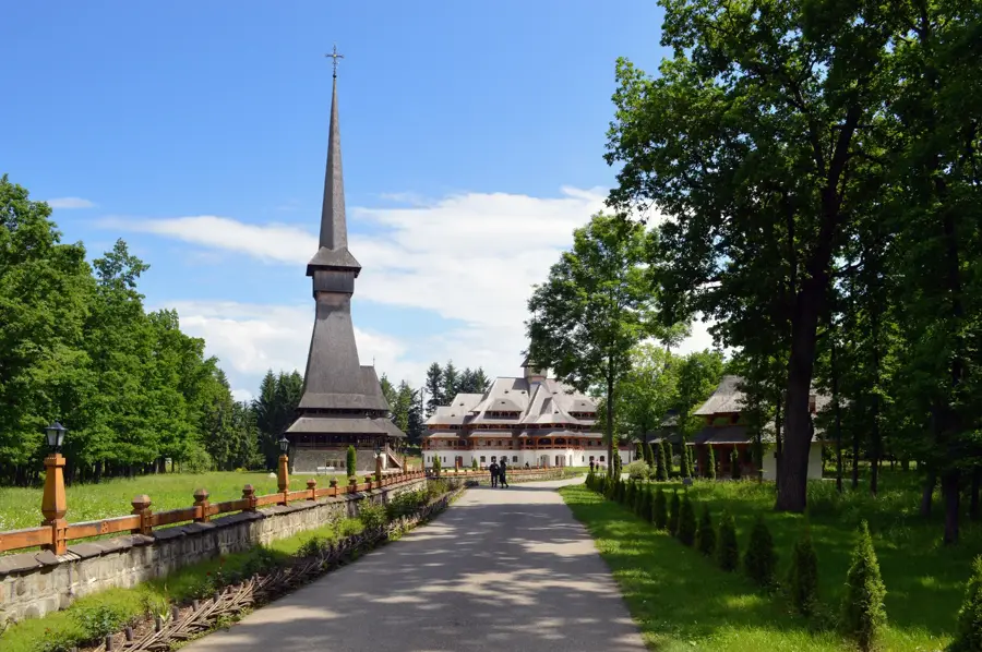
- The area is protected as part of the Maramureș Mountains Natural Park.
- The summit is situated only a few kilometers from the international border with Ukraine.
- Rare alpine flora such as Edelweiss and mountain gentians can be found on the slopes of Fărcău.
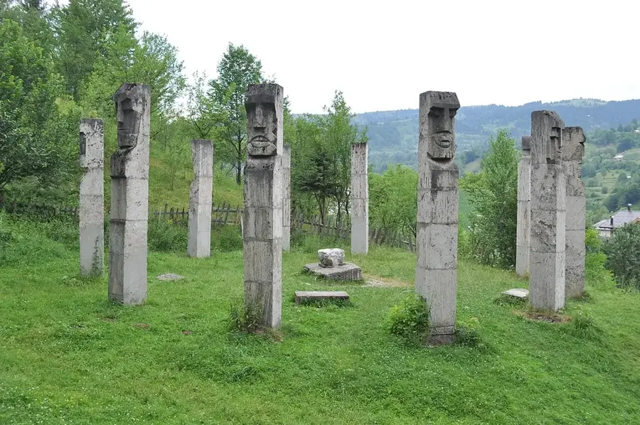
Explore nearby
Notable places around
Route planner — Car & Motorhome
Where do you start? We build the route here, with stops and country notes along the way.
© OpenStreetMap contributors · OpenRouteService
Sights nearby
Frequently asked questions
Is Farcău the highest peak in the Maramureș Mountains?
What lake is located nearby?
Is a permit needed for the border zone?
What is the terrain like?
When do the daffodils bloom on Farcău?
Fărcău Peak: where is it located?
Fărcău Peak: when is the best time to visit?
Fărcău Peak: why is it worth visiting?

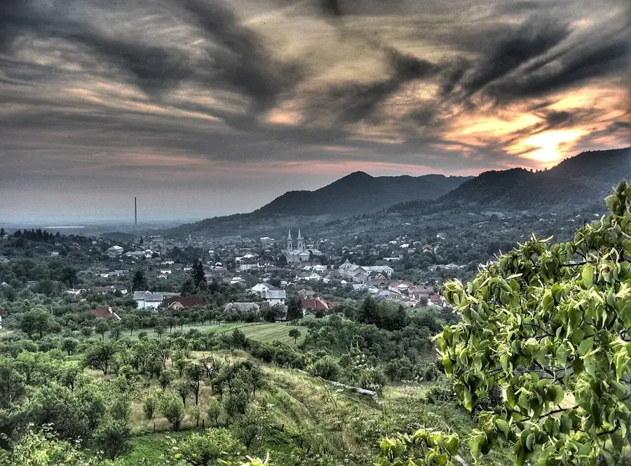
Nearby cities

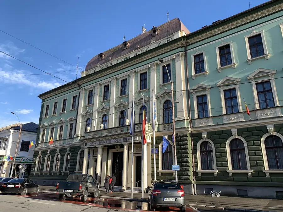


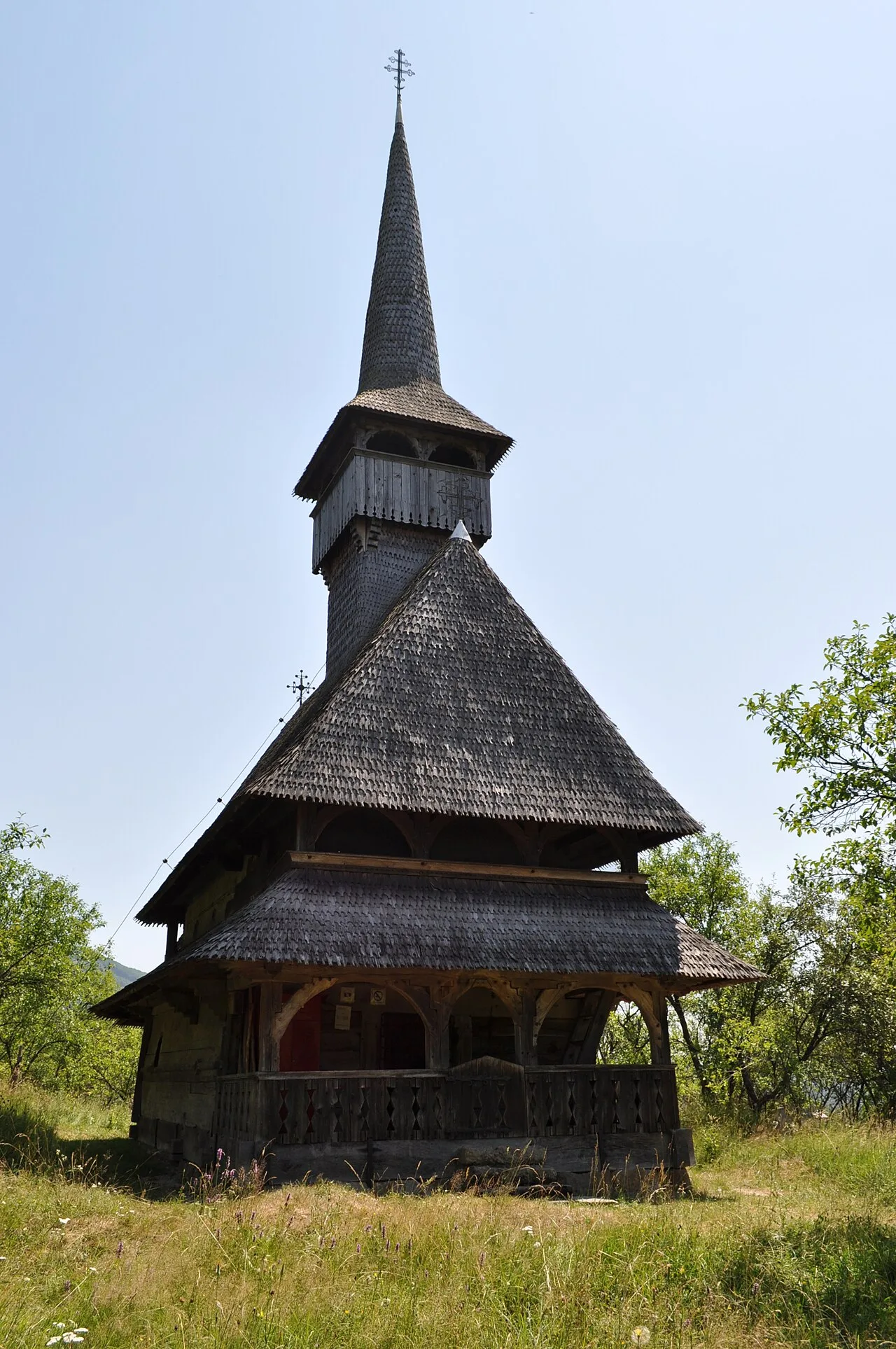
History & landmarks

Nature
More places