Plizio Visual Lab
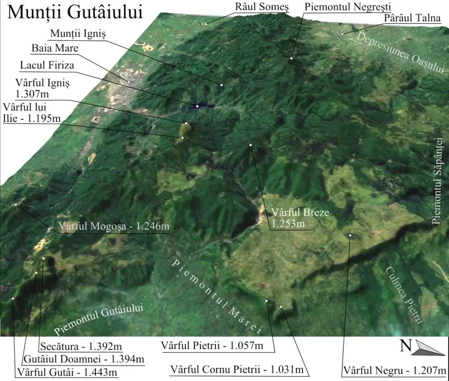
Gutâi Mountains
Weather…
Water temperature…
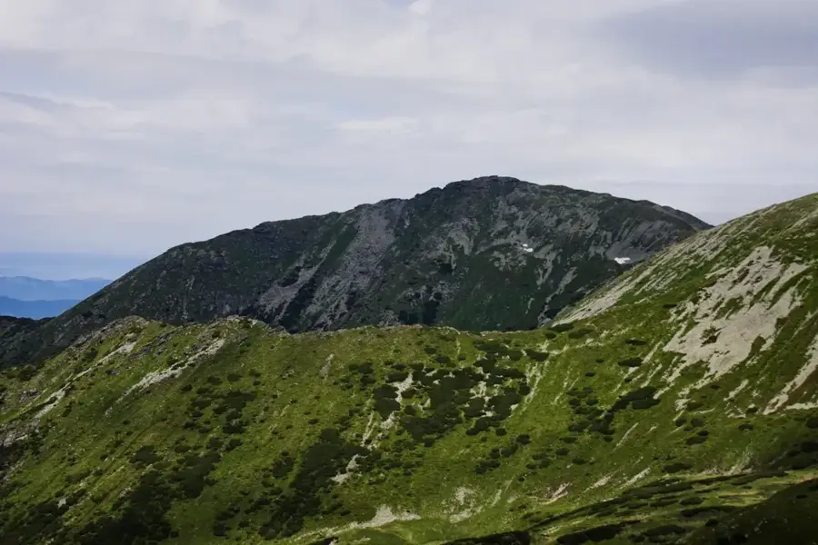
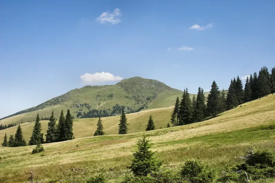
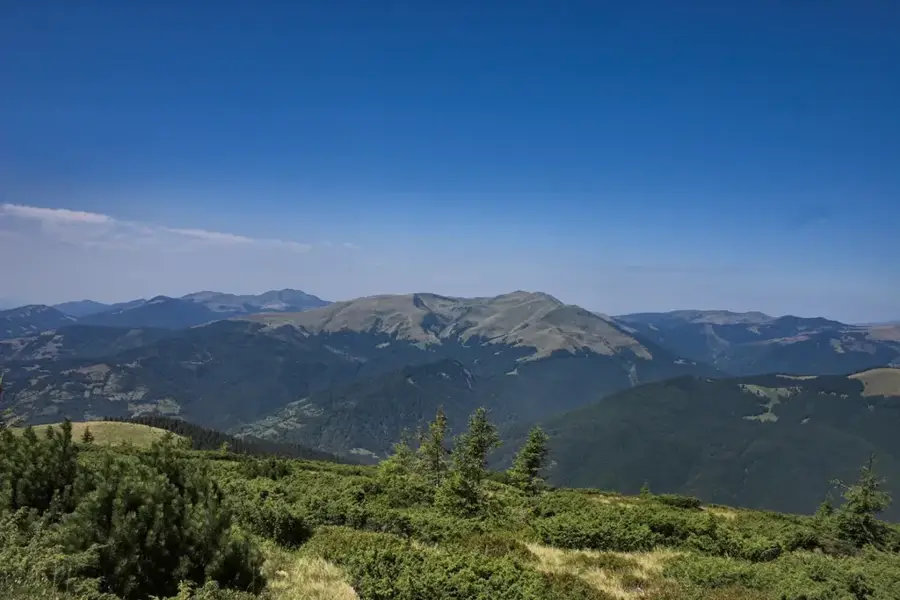
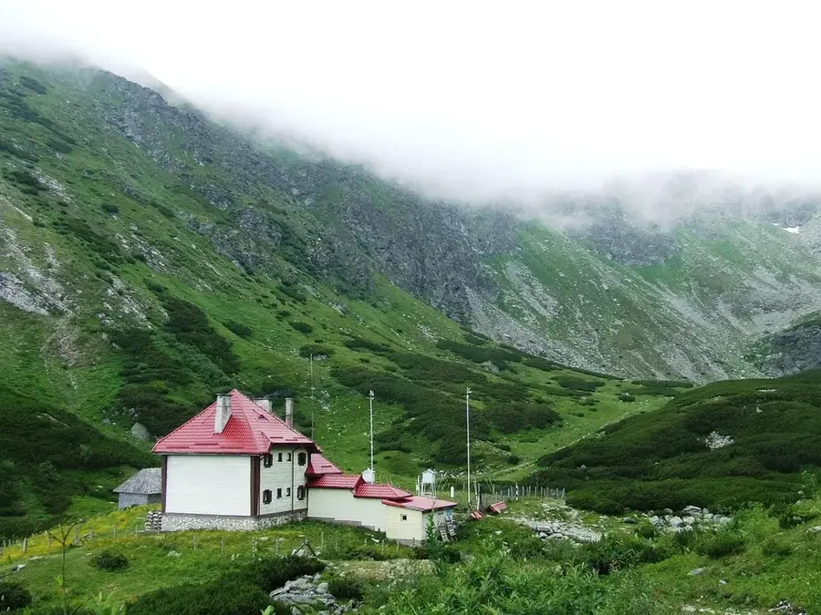
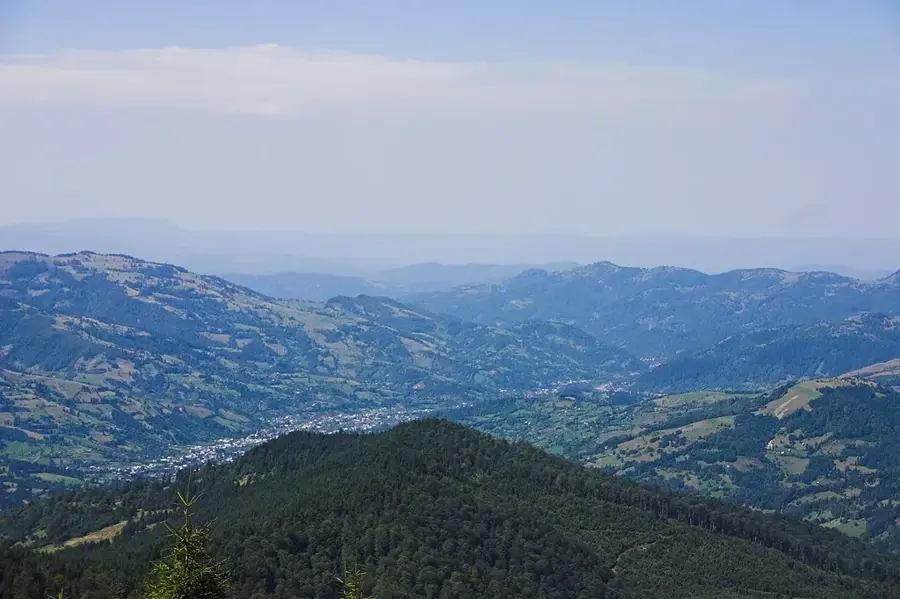
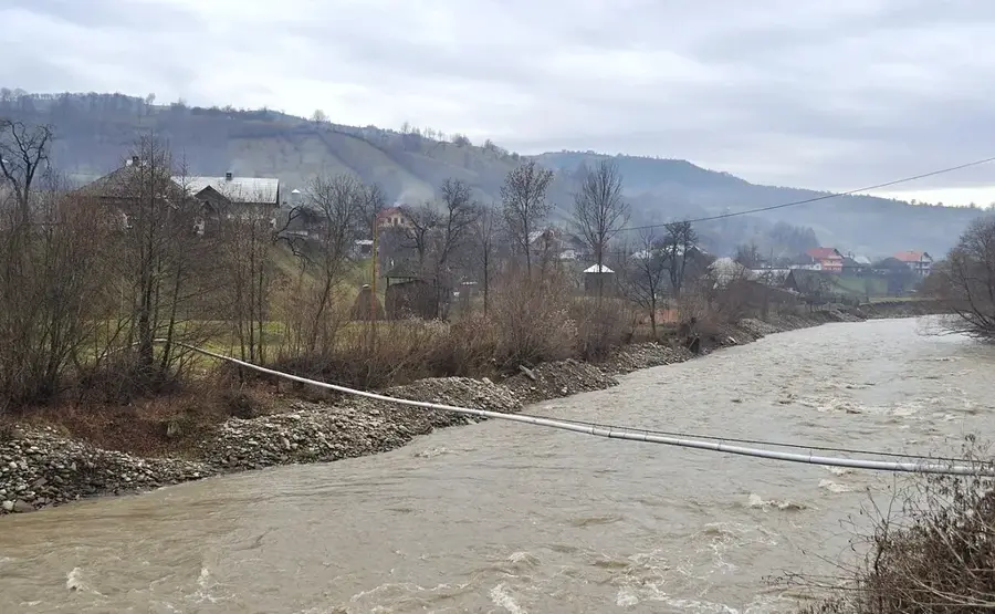
The Gutâi Mountains are a volcanic massif located in northern Romania, forming part of the inner volcanic arc of the Eastern Carpathians in Maramureș County. Positioned between the Oaș Mountains to the west and the Țibleș Mountains to the east, they are part of Europe's longest volcanic mountain chain. The highest elevation is reached at Gutâi Peak, standing at 1443 meters, distinguished by its steep slopes and sharp rock formations. Geologically, the range consists of andesites and dacites formed by intense volcanic activity millions of years ago during the Neogene period. The region has a deep historical connection to mining, as volcanic processes deposited rich ores of gold, silver, lead, and zinc, particularly around the city of Baia Mare. A standout natural feature is the Rooster's Crest (Creasta Cocoșului) Nature Reserve, a spectacular wall of andesitic cliffs that are the remnants of an ancient volcanic crater rim. The vegetation is dominated by dense beech and spruce forests, providing a sanctuary for large carnivores like brown bears and wolves. Given their geographical setting, the Gutâi Mountains are a favorite destination for hikers and climbers seeking the rugged beauty of the Maramureș region.
- Location: Maramureș, Romania
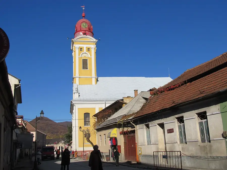
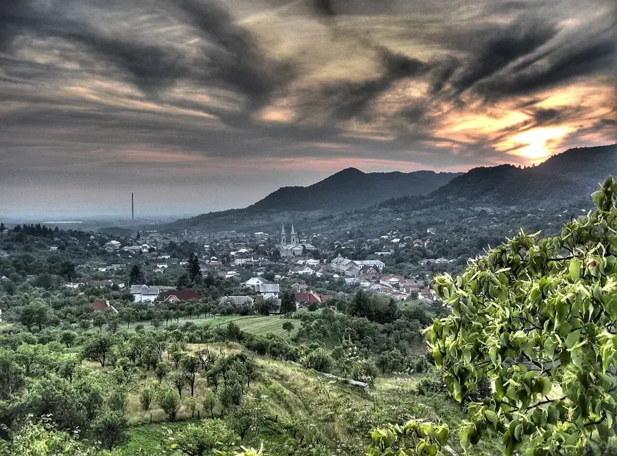
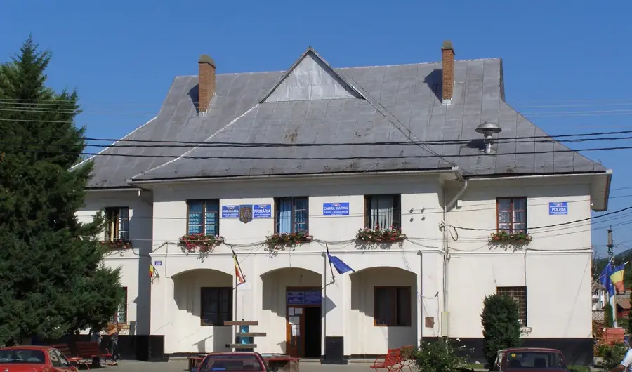
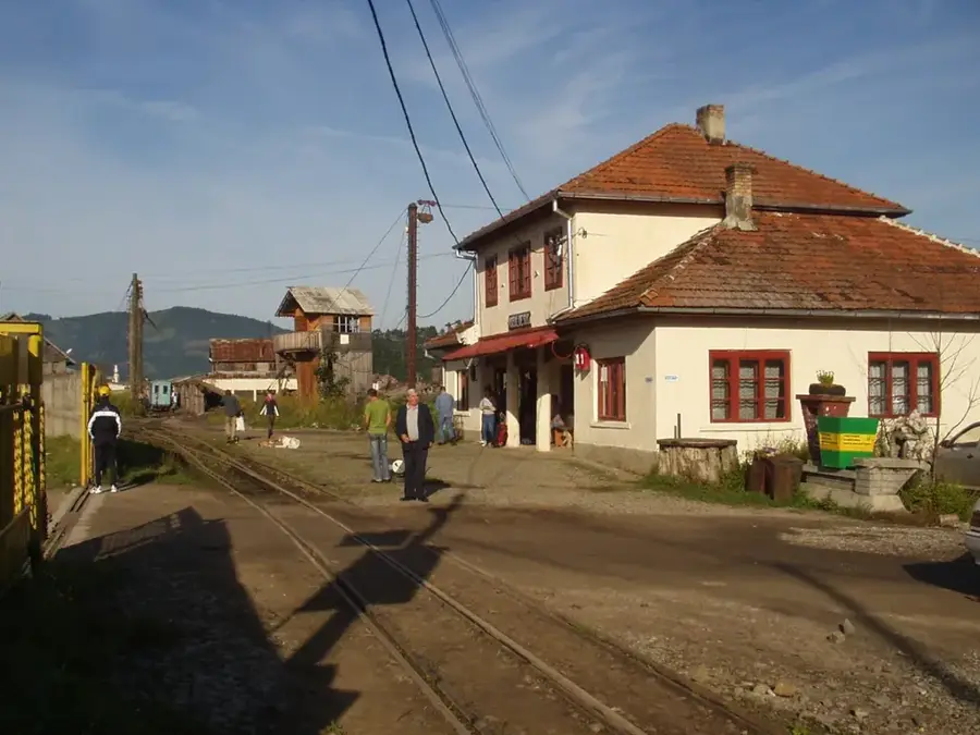
- Nearby: Baia Sprie (10 km)
Best time to visit & climate
The most pleasant time to visit is Jun–Aug.
| Jan | Feb | Mar | Apr | May | Jun | Jul | Aug | Sep | Oct | Nov | Dec | |
|---|---|---|---|---|---|---|---|---|---|---|---|---|
| Avg °C | -5 | -3 | 2 | 8 | 13 | 17 | 19 | 19 | 14 | 8 | 3 | -3 |
| Rain mm | 56 | 53 | 64 | 57 | 101 | 106 | 105 | 70 | 71 | 69 | 60 | 60 |
📋 Practical info
Geography
Facts
- The highest point of the massif is Gutâi Peak, reaching an elevation of 1443 meters.
- The range is a component of Europe's longest Neogene volcanic arc.
- The famous Rooster's Crest (Creasta Cocoșului) is an andesitic wall approximately 200 meters long.
- The Gutâi region historically contained some of the most productive non-ferrous metal mines in Romania.
- The Gutâi Pass, at 987 meters, serves as the primary mountain road connecting Baia Mare to Sighetu Marmației.
- The volcanic rocks of the range were formed between 7 and 11 million years ago during the Miocene epoch.
Explore nearby
Notable places around
Route planner — Car & Motorhome
Where do you start? We build the route here, with stops and country notes along the way.
© OpenStreetMap contributors · OpenRouteService
Sights in the town Gutâi Mountains (1)
Sights nearby
Frequently asked questions
Where are the Gutâi Mountains located?
Are the mountains of volcanic origin?
What is the most famous symbol of the mountains?
Are there mining towns in the area?
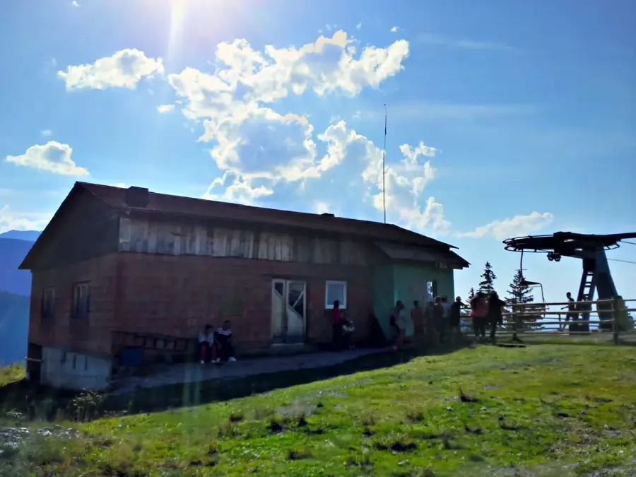
Can you ski in the Gutâi Mountains?
Gutâi Mountains: where is it located?
Gutâi Mountains: when is the best time to visit?
Gutâi Mountains: why is it worth visiting?

Nearby cities


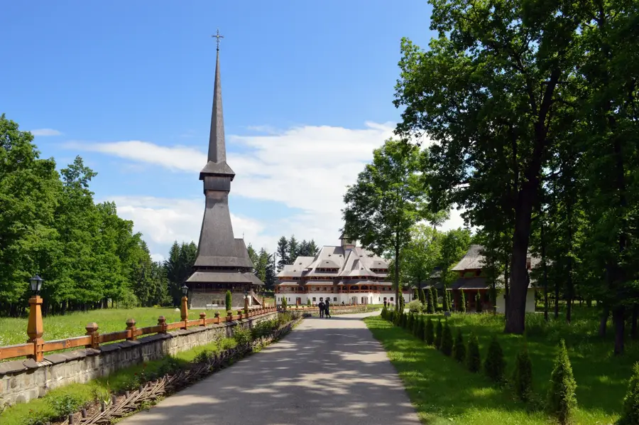
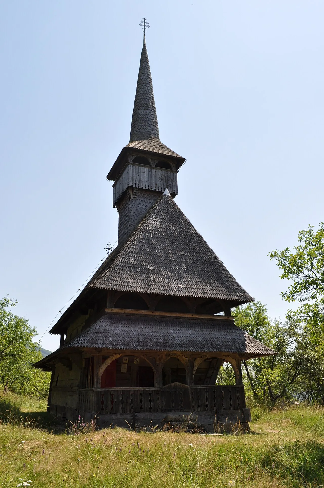
History & landmarks

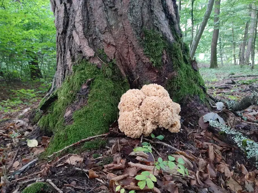
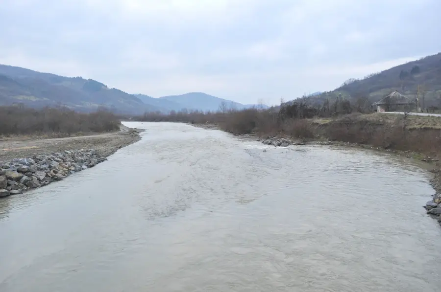
Nature