Plizio Visual Lab
Caramulo Range

Weather…
Water temperature…
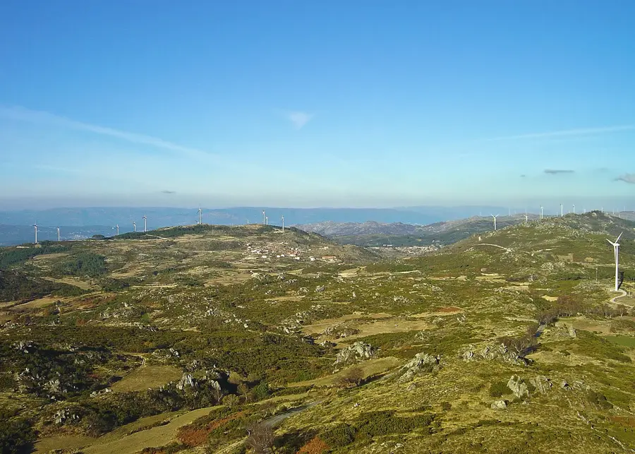
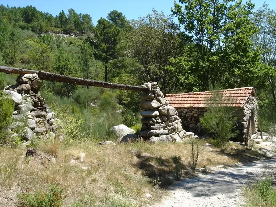
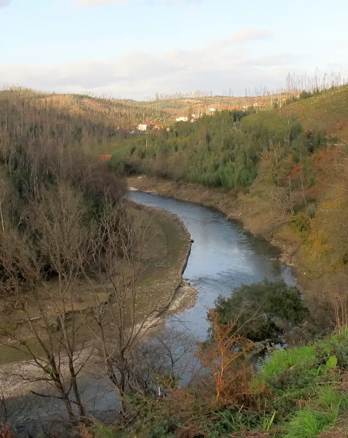
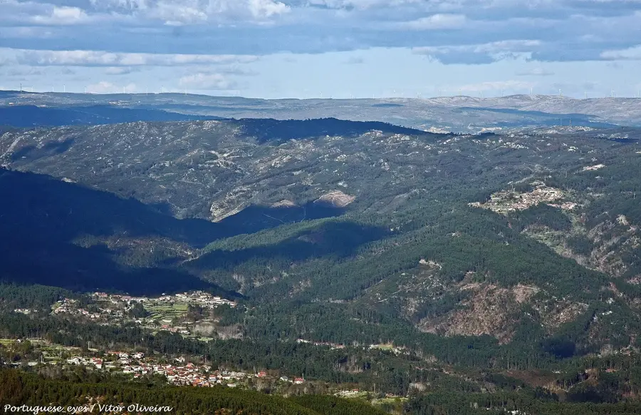
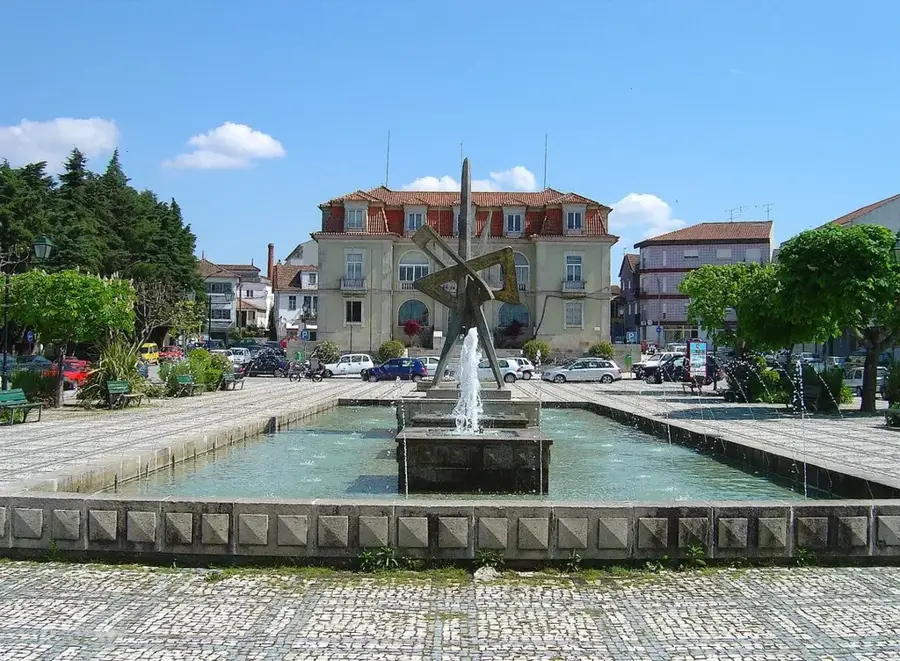
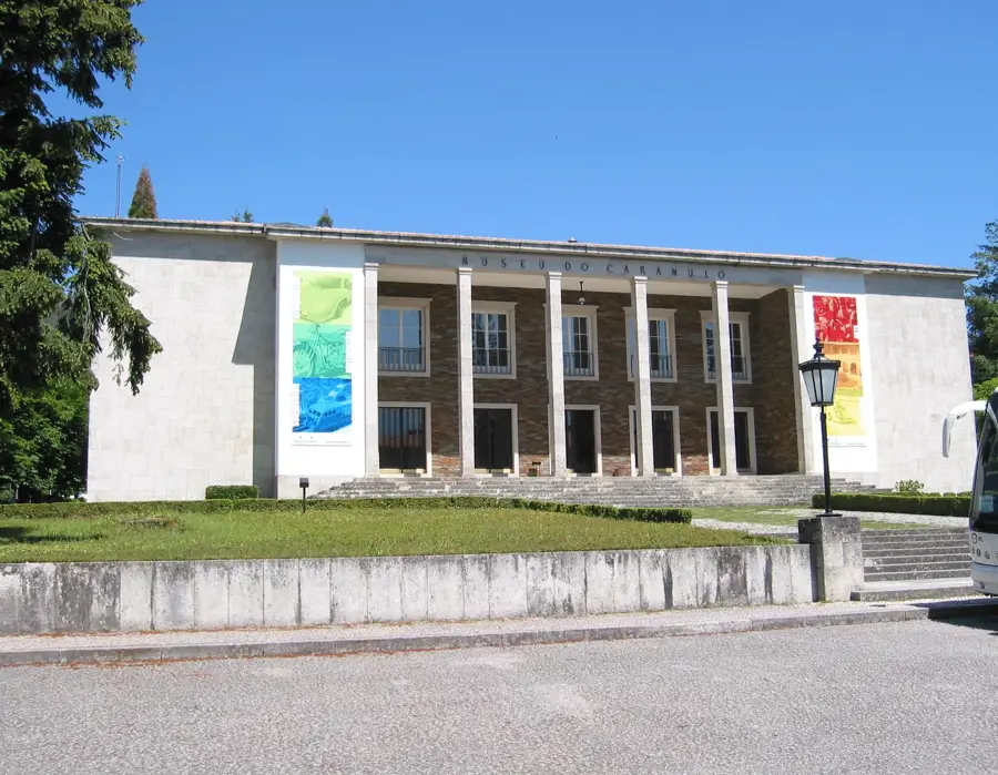
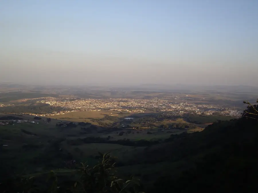
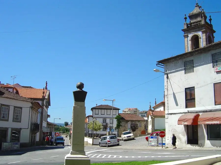
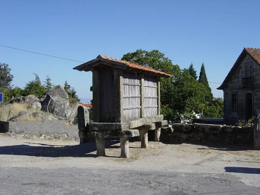
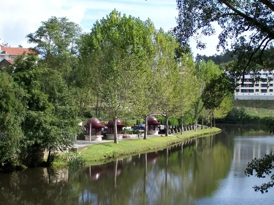
The Serra do Caramulo is a mountain range in central Portugal, situated between the districts of Viseu and Aveiro. It reaches its highest point at Caramulinho, which stands at 1,075 meters above sea level and provides expansive views reaching as far as the Atlantic coast on clear days. The range is composed primarily of granite and schist, featuring a landscape of steep slopes, terraced fields, and traditional slate-roofed villages. Historically, the region was famous for its pure air, leading to the establishment of numerous sanatoriums for the treatment of tuberculosis in the early 20th century. Today, the town of Caramulo is known for its museum, which houses an impressive collection of classic cars and fine art. The mountains are also a significant site for wind energy production, with numerous turbines lining the ridges. The local economy relies on small-scale agriculture, honey production, and increasingly, nature tourism.
- Location: Portugal
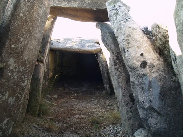
- Top sights: Lapa de Meruge · Solar da Corujeira · Orca da Malhada do Cambarinho
Best time to visit & climate
The most pleasant time to visit is Jun–Aug.
| Jan | Feb | Mar | Apr | May | Jun | Jul | Aug | Sep | Oct | Nov | Dec | |
|---|---|---|---|---|---|---|---|---|---|---|---|---|
| Avg °C | 7 | 8 | 10 | 13 | 16 | 20 | 23 | 23 | 21 | 16 | 10 | 8 |
| Rain mm | 137 | 101 | 113 | 98 | 61 | 31 | 12 | 20 | 47 | 139 | 138 | 122 |
📋 Practical info
Geography
Facts
- The Caramulinho summit stands at exactly 1,075 meters.
- The mountain range extends for approximately 40 kilometers.
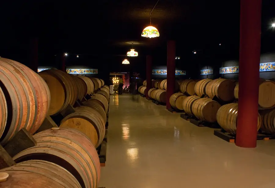
- The famous Caramulo Museum was founded in the year 1953.
- The era of sanatoriums began in the area in 1921.
- The average annual rainfall in the range is 1,800 mm.
- The granite formations date back about 300 million years.
Explore nearby
Notable places around
Route planner — Car & Motorhome
Where do you start? We build the route here, with stops and country notes along the way.
© OpenStreetMap contributors · OpenRouteService
Sights in the town Caramulo Range (8)
Parque Natural Local Vouga — Caramulo (Vouzela)🌿 nature
A nature reserve preserving the biodiversity of the Vouga and Caramulo region.
Sights nearby
Frequently asked questions
What is Museu do Caramulo?
What is the highest point of the range called?
Is Caramulo a health resort?
Is there a hill climb race held there?
What is a typical dish of the region?
Caramulo Range: where is it located?
Caramulo Range: what is there to see?
Caramulo Range: when is the best time to visit?
Caramulo Range: why is it worth visiting?

Nearby cities


History & landmarks
Nature
More places