Plizio Visual Lab
Serra da Gralheira
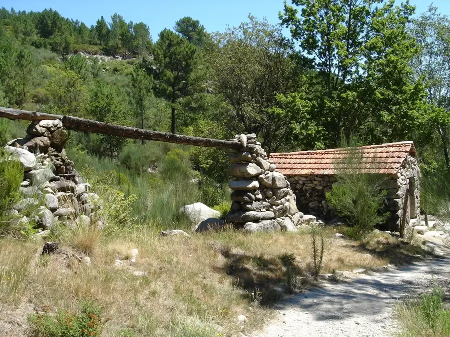
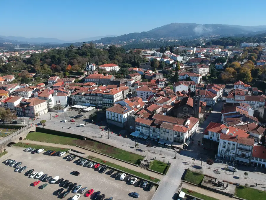
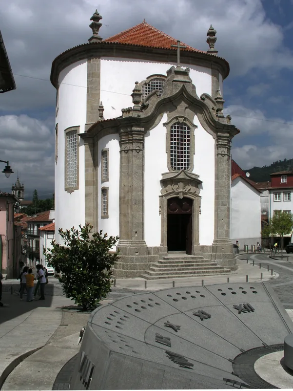
The Serra da Gralheira is a complex mountain system in Central Portugal, spanning the districts of Aveiro and Viseu. The relief includes several massifs such as Serra da Freita, Serra de Arada, and Serra de Arestal, with the highest point reaching 1052 meters at Pico de São Macário. Geologically, the region is world-famous for the 'Pedras Parideiras' (birthing stones) phenomenon in Castanheira, where granite nodules are detached from the mother rock by erosion. The landscape is characterized by deep gorges and waterfalls like Frecha da Mizarela, which at 75 meters is one of the highest in Portugal. Tucked in isolated valleys are traditional schist villages like Drave, now uninhabited and known as the 'magic village'. The area is a key part of the UNESCO-recognized Arouca Geopark. The vegetation is dominated by mountain pastures and pine forests, while the local economy was historically centered on wolfram mining and livestock farming.
- Location: Portugal
- Top sights: Castro da Cárcoda · Outeirão · Mamoa Serra da Arada
- Nearby: Caramulo (26 km)
Best time to visit & climate
The most pleasant time to visit is Jun–Aug.
| Jan | Feb | Mar | Apr | May | Jun | Jul | Aug | Sep | Oct | Nov | Dec | |
|---|---|---|---|---|---|---|---|---|---|---|---|---|
| Avg °C | 6 | 7 | 9 | 11 | 15 | 18 | 21 | 21 | 19 | 14 | 9 | 7 |
| Rain mm | 134 | 95 | 114 | 90 | 58 | 33 | 14 | 22 | 47 | 134 | 137 | 120 |
📋 Practical info
Geography
Facts
- The highest peak is Pico de São Macário at 1052m.
- Home to the unique 'Pedras Parideiras' geological feature.
- Frecha da Mizarela waterfall drops from 75 meters.
- The area is part of the UNESCO Arouca Geopark.
- Drave is a renowned abandoned schist village.
- Significant wolfram mining occurred here during WWII.
Explore nearby
Notable places around
Route planner — Car & Motorhome
Where do you start? We build the route here, with stops and country notes along the way.
© OpenStreetMap contributors · OpenRouteService
Sights in the town Serra da Gralheira (6)
Sights nearby
Frequently asked questions
What is Serra da Gralheira?
Which village is famous there?
How is the climate?
Which outdoor sports are popular?
Are there waterfalls?
Serra da Gralheira: where is it located?
Serra da Gralheira: what is there to see?
Serra da Gralheira: when is the best time to visit?
Serra da Gralheira: why is it worth visiting?

Nearby cities