Plizio Visual Lab
Vouga River
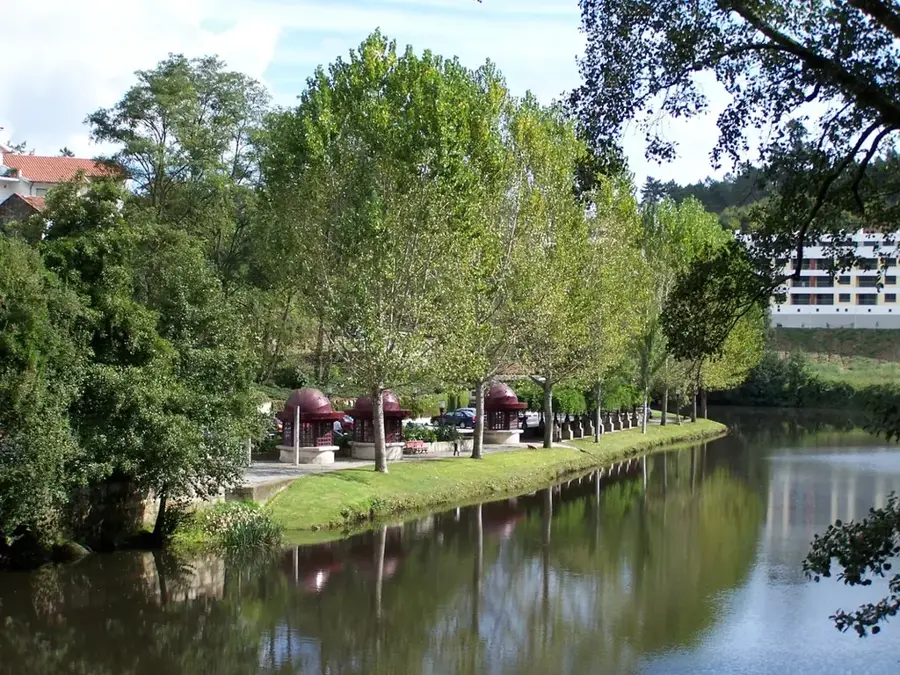
The Vouga River is one of the most significant waterways in central Portugal, stretching approximately 148 kilometers from its source to its mouth. Originating in the Serra da Lapa at an altitude of nearly 900 meters in the municipality of Sernancelhe, it flows westward to reach the Atlantic Ocean at the Ria de Aveiro. The river's drainage basin covers an area of about 3,635 square kilometers, providing vital water resources for regional agriculture and industrial activities. Historically, the Vouga served as a crucial transport artery for commerce between the interior regions and the coast, utilizing traditional boats for moving goods. Its upper course is defined by steep valleys and a rapid descent, while the lower section expands into a complex estuarine delta known for its salt marshes and biodiversity. The river is essential for the ecological balance of the Aveiro lagoon, supporting various fish species such as lampreys and shad. In recent years, several dams have been constructed along its path to harness hydroelectric power and regulate seasonal water flow variations.
- Location: Portugal
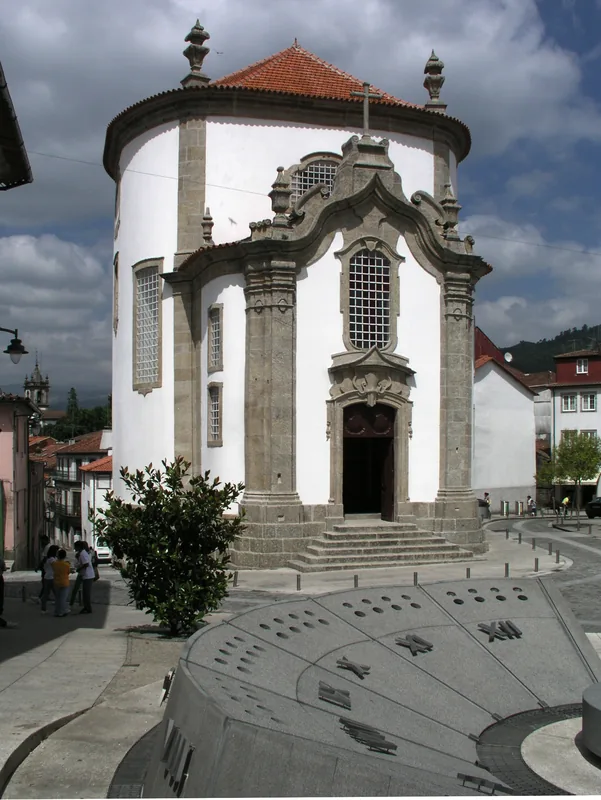
- Top sights: Igreja do Carmo · Capela Nossa Senhora da Alegria · Capela das Barrocas
- Nearby: São Jacinto (7 km)
Best time to visit & climate
The most pleasant time to visit is Jun–Aug.
| Jan | Feb | Mar | Apr | May | Jun | Jul | Aug | Sep | Oct | Nov | Dec | |
|---|---|---|---|---|---|---|---|---|---|---|---|---|
| Avg °C | 10 | 11 | 12 | 14 | 16 | 19 | 21 | 21 | 20 | 17 | 13 | 11 |
| Rain mm | 126 | 89 | 97 | 87 | 58 | 29 | 11 | 18 | 47 | 127 | 132 | 110 |
📋 Practical info
Geography
Facts
- The total length of the Vouga River is approximately 148 kilometers.
- The river basin covers an area of 3,635 square kilometers.
- The source is located at 900 meters above sea level in Serra da Lapa.
- It terminates in the Ria de Aveiro, a vast coastal lagoon system.
- Major tributaries include the Caima, Sul, and Águeda rivers.
- The river flows through the Portuguese districts of Viseu and Aveiro.
Explore nearby
Notable places around
Route planner — Car & Motorhome
Where do you start? We build the route here, with stops and country notes along the way.
© OpenStreetMap contributors · OpenRouteService
Sights in the town Vouga River (10)
Praia da Marinha da Noeirinha
Beach near Aveiro, suitable for swimming.
Capela de São Gonçalo
Building in Aveiro, Aveiro District, Portugal.
São Gonçalinho (Paulo Noves)
Monument in Aveiro, dedicated to a local figure.
Paraquedistas
Monument in Aveiro, commemorating paratroopers.
Galeria da Capitania
Gallery in Aveiro, exhibiting contemporary art.
City Museum Aveiro🏛 museum
Museum in Aveiro, city history and culture.
Sights nearby
Frequently asked questions
Where does the Vouga River rise?
What is the Ecopista do Vouga?
Can you go canoeing on the Vouga River?
Which city is at the mouth?
Are there river beaches on the Vouga?
Vouga River: where is it located?
Vouga River: what is there to see?
Vouga River: when is the best time to visit?
Vouga River: why is it worth visiting?

Nearby cities


History & landmarks