Plizio Visual Lab
Serra do Caramulo South
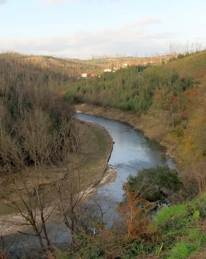
The Serra do Caramulo lies in the transition zone between the Beira Litoral and Beira Alta regions, reaching an elevation of 1,075 meters at Caramulinho. The southern relief is characterized by a mix of crystalline schists and granites, creating a diverse landscape with sweeping views over the Vouga valley. Historically, the region gained international fame in the early 20th century as a location for pulmonary sanatoriums, as the pure mountain air was considered therapeutic. The flora is particularly varied, combining Atlantic species like ferns with Mediterranean shrubs. Culturally, the town of Caramulo is defined by its significant Art and Automobile Museum, which houses one of the most important collections of classic vehicles in Europe. Today, the relief is extensively used for wind power generation, with turbines along the ridge paths defining the mountain's modern profile.
- Location: Portugal
- Nearby: Tondela (9 km)
Best time to visit & climate
The most pleasant time to visit is Jun–Aug.
| Jan | Feb | Mar | Apr | May | Jun | Jul | Aug | Sep | Oct | Nov | Dec | |
|---|---|---|---|---|---|---|---|---|---|---|---|---|
| Avg °C | 7 | 8 | 10 | 13 | 16 | 20 | 23 | 23 | 21 | 16 | 10 | 8 |
| Rain mm | 137 | 101 | 113 | 98 | 61 | 31 | 12 | 20 | 47 | 139 | 138 | 122 |
📋 Practical info
Geography
Facts
- The highest peak, Caramulinho, offers views as far as the Atlantic.
- The sanatorium center consisted of over 20 specialized buildings.
- The Caramulo Museum was founded in 1953 by Abel Lacerda.
- Geologically, the area is known for its tungsten deposits.
- There are numerous Roman ruins and medieval paths in the vicinity.
- The annual 'Motorfestival' attracts classic car enthusiasts worldwide.
Explore nearby
Notable places around
Route planner — Car & Motorhome
Where do you start? We build the route here, with stops and country notes along the way.
© OpenStreetMap contributors · OpenRouteService
Sights nearby
Frequently asked questions
Is the mountain suitable for families?
What should I see in Caramulo?
What is the climate like there?
Are there any museums there?
Where can you eat locally?
Serra do Caramulo South: where is it located?
Serra do Caramulo South: when is the best time to visit?
Serra do Caramulo South: why is it worth visiting?

Nearby cities


History & landmarks