Plizio Visual Lab
Serra do Caramulo East
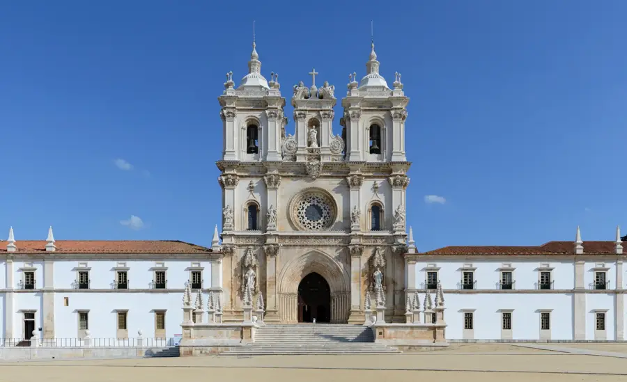
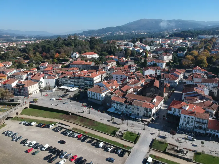
The eastern reaches of Serra do Caramulo drop steeply toward the Dão River valley, shaping the relief of the Viseu district. The mountain range is primarily composed of granite and schist, resulting in a rugged, rocky landscape incised by deep gorges. The region is renowned for its exceptional air quality, which led to the establishment of numerous sanatoriums during the 20th century. Its highest point, Caramulinho (1075 m), gives panoramic views across the Besteiros Valley and as far as Serra da Estrela on clear days. The eastern side is climatically defined by the transition from Atlantic to continental influences, reflected in a vegetation mix of pine, eucalyptus, and heather. Historically, the area was a vital commercial hub between the coast and the interior. Today, Caramulo is also famous for its automobile museum and the preservation of traditional mountain settlements where time seems to stand still.
- Location: Portugal
- Top sights: Museu Terra de Besteiros · Câmara Municipal de Tondela · Pelourinho do Largo 1º de Maio
- Nearby: Caramulo (9 km)
Best time to visit & climate
The most pleasant time to visit is Jun–Aug.
| Jan | Feb | Mar | Apr | May | Jun | Jul | Aug | Sep | Oct | Nov | Dec | |
|---|---|---|---|---|---|---|---|---|---|---|---|---|
| Avg °C | 7 | 8 | 10 | 13 | 16 | 20 | 23 | 23 | 21 | 16 | 10 | 8 |
| Rain mm | 137 | 101 | 113 | 98 | 61 | 31 | 12 | 20 | 47 | 139 | 138 | 122 |
📋 Practical info
Geography
Facts
- The peak of Caramulinho reaches 1075 meters in altitude
- Famous for Portugal's cleanest air and former sanatoriums
- Geological composition features a mix of granite and schist
- Home to an internationally renowned classic car museum
- Major viewpoint offering vistas over the Besteiros Valley
- Features traditional villages built with local granite stone
Explore nearby
Notable places around
Route planner — Car & Motorhome
Where do you start? We build the route here, with stops and country notes along the way.
© OpenStreetMap contributors · OpenRouteService
Sights in the town Serra do Caramulo East (10)
Câmara Municipal de Tondela
Town hall of Tondela, seat of the municipal government.
Mercado Velho
Old market in Tondela, now a gallery for exhibitions.
Santuário da Nossa Senhora da Esperança
Sanctuary of Our Lady of Hope, a pilgrimage church.
Estação de Arte Rupestre de Molelinhos
Cultural heritage monument in Tondela, Portugal, with prehistoric rock art.
Novo Ciclo - ACERT
Theatre and cultural centre in Tondela, part of ACERT.
Teatro ACERT
Theatre of the ACERT cultural association in Tondela.
Cruzeiro do Senhor do Carvário
Stone cross at Senhor do Carvário in Tondela.
Sights nearby
Frequently asked questions
What characterizes Serra do Caramulo?
Which museum is famous?
What is the highest point in the east?
Is hiking good there?
How is the view from the summit?
Serra do Caramulo East: where is it located?
Serra do Caramulo East: what is there to see?
Serra do Caramulo East: when is the best time to visit?
Serra do Caramulo East: why is it worth visiting?

Nearby cities


History & landmarks