Plizio Visual Lab
Serra da Arada
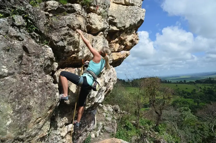
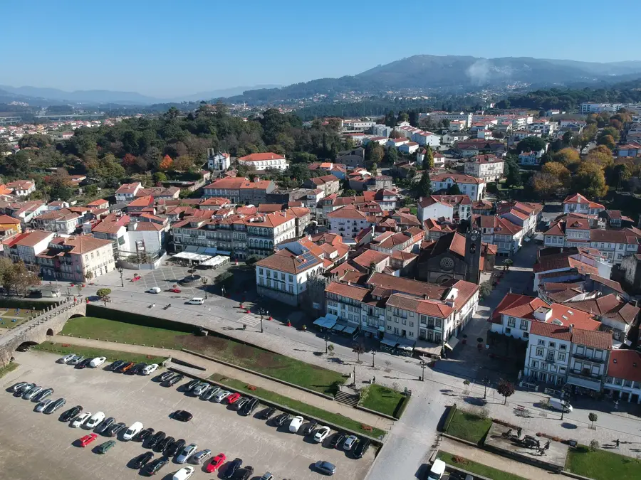
Serra da Arada is a mountain massif in northern Portugal, straddling the districts of Aveiro and Viseu. Its highest peak is Caramulo at 1,075 meters. The landscape features rugged granite outcrops and ancient forests of oak and pine. The region is renowned for its thermal springs, exploited since Roman times. It is part of the Natura 2000 network, hosting rare bird species such as the golden eagle. Forestry and tourism are key economic activities. Nearby villages like Arouca and São Pedro do Sul showcase traditional granite architecture. The climate is Atlantic, with mild temperatures and annual rainfall around 1,500 mm. Geologically, the massif is composed of Carboniferous granites. The name 'Arada' is thought to derive from 'Arade,' a local term for rocky terrain. The area features hiking trails and scenic viewpoints.
- Location: Portugal
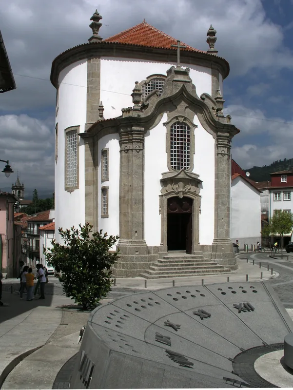
- Top sights: Mamoa de Monte Calvo 2 · Praia fluvial da Carriça · Casa da Broa de Paraduça
- Nearby: Oliveira de Azeméis (20 km)
Best time to visit & climate
The most pleasant time to visit is Jun–Aug.
| Jan | Feb | Mar | Apr | May | Jun | Jul | Aug | Sep | Oct | Nov | Dec | |
|---|---|---|---|---|---|---|---|---|---|---|---|---|
| Avg °C | 6 | 7 | 9 | 11 | 15 | 18 | 21 | 21 | 19 | 14 | 9 | 7 |
| Rain mm | 134 | 95 | 114 | 90 | 58 | 33 | 14 | 22 | 47 | 134 | 137 | 120 |
📋 Practical info
Geography
Facts
- Highest peak: Caramulo, 1,075 m.
- Area: approximately 200 km².
- Thermal spring temperature: up to 68 °C.
- Annual rainfall: 1,500 mm.
- Population of Arouca (town): about 5,000.
- Natura 2000 designation: 1998.
Explore nearby
Notable places around
Route planner — Car & Motorhome
Where do you start? We build the route here, with stops and country notes along the way.
© OpenStreetMap contributors · OpenRouteService
Sights in the town Serra da Arada (6)
Sights nearby
Frequently asked questions
What is the village of Drave?
What is the Portal do Inferno?
Are there waterfalls there?
How is the access to the mountains?
Is wild camping allowed in Arada?
Serra da Arada: where is it located?
Serra da Arada: what is there to see?
Serra da Arada: when is the best time to visit?
Serra da Arada: why is it worth visiting?

Nearby cities