Plizio Visual Lab
Monte Lindo River
Weather…
Water temperature…
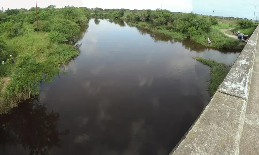
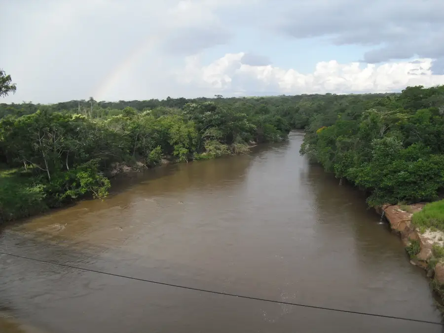
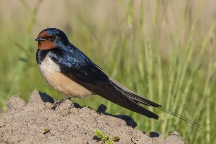
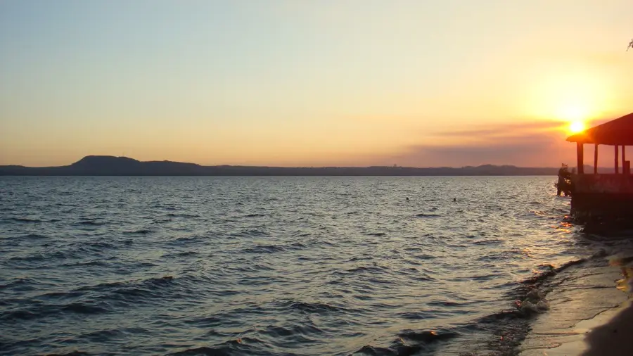
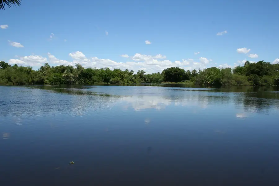
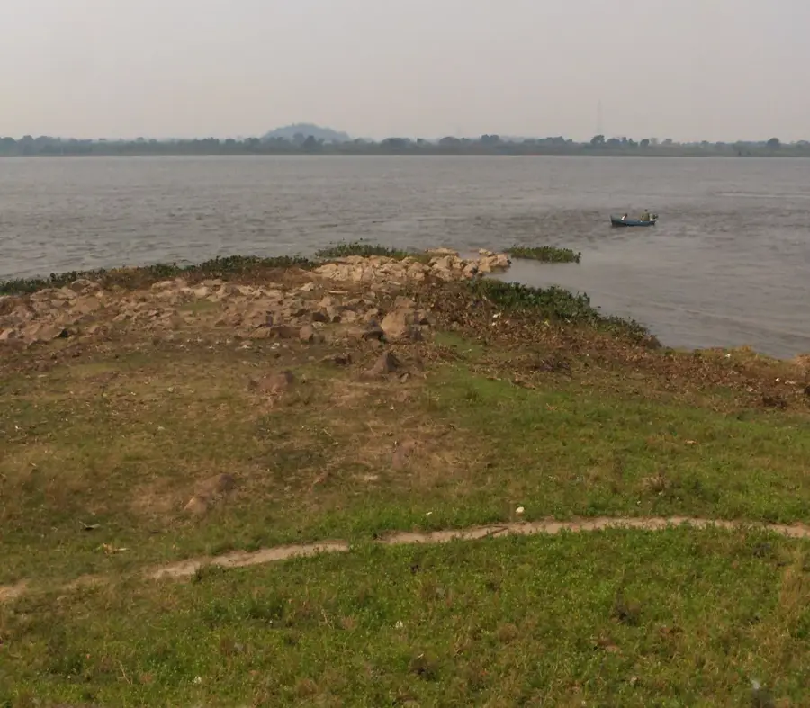
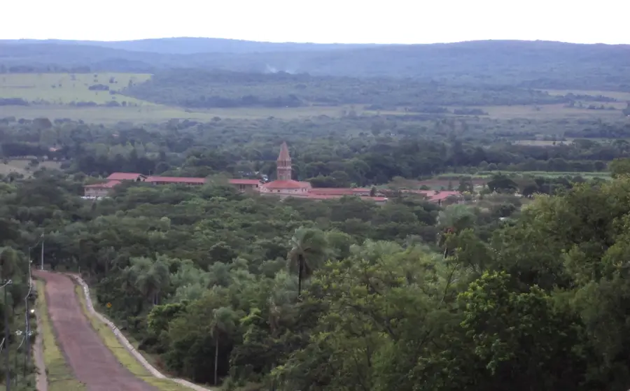
The Monte Lindo River is a characteristic waterway of the Paraguayan Chaco, flowing through the Presidente Hayes Department. It originates in the semi-arid plains of central Chaco and flows eastward until it eventually empties into the Paraguay River. The landscape along the river is defined by thorny scrubland, palm groves, and seasonal floodplains typical of the Gran Chaco ecosystem. Because the river traverses a region with extreme climatic conditions, its water level fluctuates significantly between the dry and rainy seasons. The Monte Lindo plays a vital role in providing water for local indigenous communities and large-scale cattle ranching operations. Its riparian zones are home to diverse wildlife, including capybaras, caimans, and a wide array of migratory birds. Despite its ecological importance, the river faces threats from rapid deforestation associated with pasture expansion. Scientific research in the area often focuses on understanding the complex hydrological dynamics of this water-scarce environment.
- Location: Paraguay
- Nearby: Horqueta (55 km)
Best time to visit & climate
The most pleasant time to visit is Jul–Sep.
| Jan | Feb | Mar | Apr | May | Jun | Jul | Aug | Sep | Oct | Nov | Dec | |
|---|---|---|---|---|---|---|---|---|---|---|---|---|
| Avg °C | 29 | 29 | 28 | 25 | 20 | 18 | 18 | 20 | 23 | 26 | 27 | 28 |
| Rain mm | 140 | 151 | 118 | 140 | 130 | 74 | 54 | 33 | 76 | 158 | 198 | 169 |
📋 Practical info
Geography
Facts
- The river flows through the Presidente Hayes Department.
- It empties into the Paraguay River near Puerto Antequera.
- The Monte Lindo is a key water source in the semi-arid Chaco.
- Its course is characterized by numerous meanders and oxbows.
- The region's climate is defined by extreme seasonal droughts.
- The surrounding vegetation consists mostly of xerophytic plants.
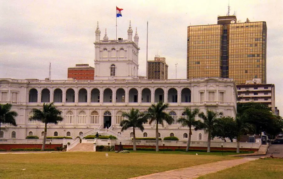
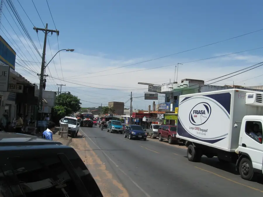
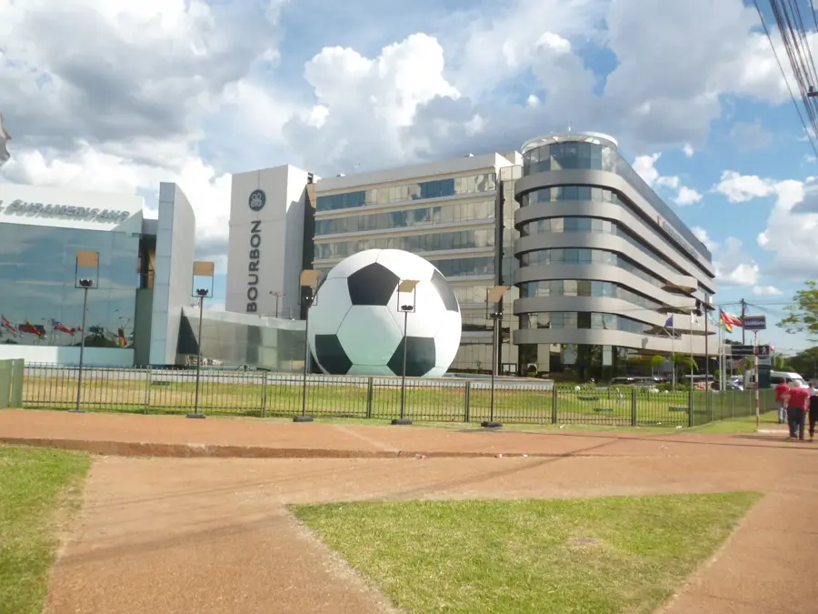
Explore nearby
Notable places around
Route planner — Car & Motorhome
Where do you start? We build the route here, with stops and country notes along the way.
© OpenStreetMap contributors · OpenRouteService
Sights nearby
Frequently asked questions
Is the Río Monte Lindo a tourist destination?
Are there public parking options?
What is the condition of the paths to the river?
Is the area suitable for a picnic?
Is there a tourist information office there?
Monte Lindo River: where is it located?
Monte Lindo River: when is the best time to visit?
Monte Lindo River: why is it worth visiting?

Nearby cities
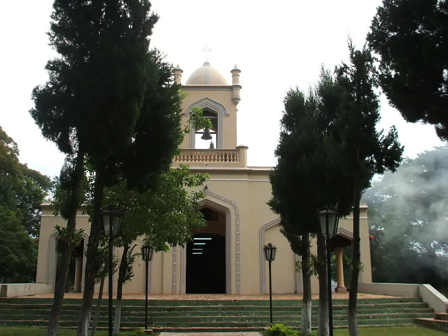
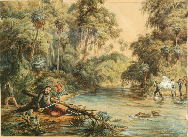
History & landmarks
Nature