Plizio Visual Lab
Ypané River
Weather…
Water temperature…
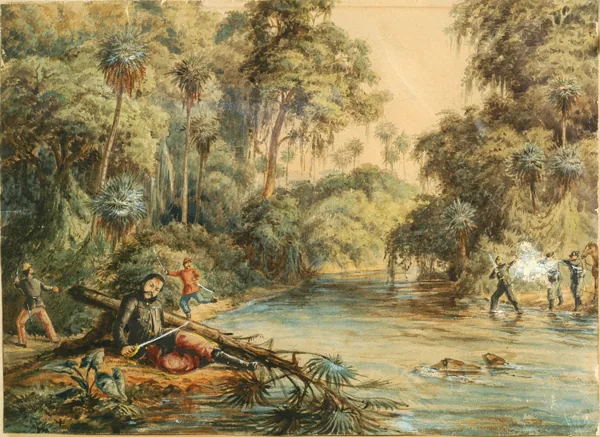
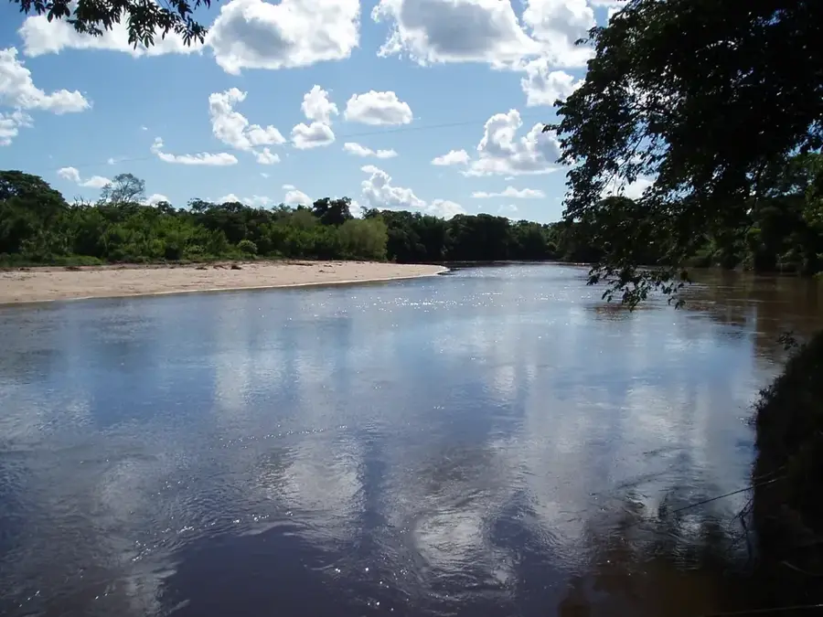
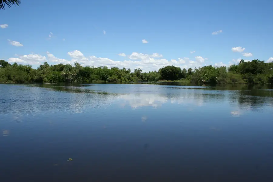
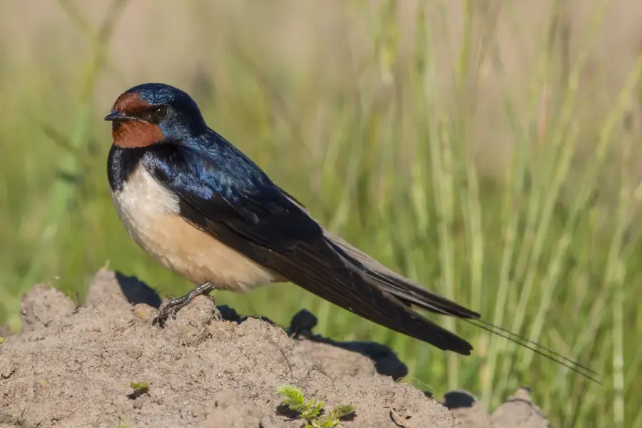
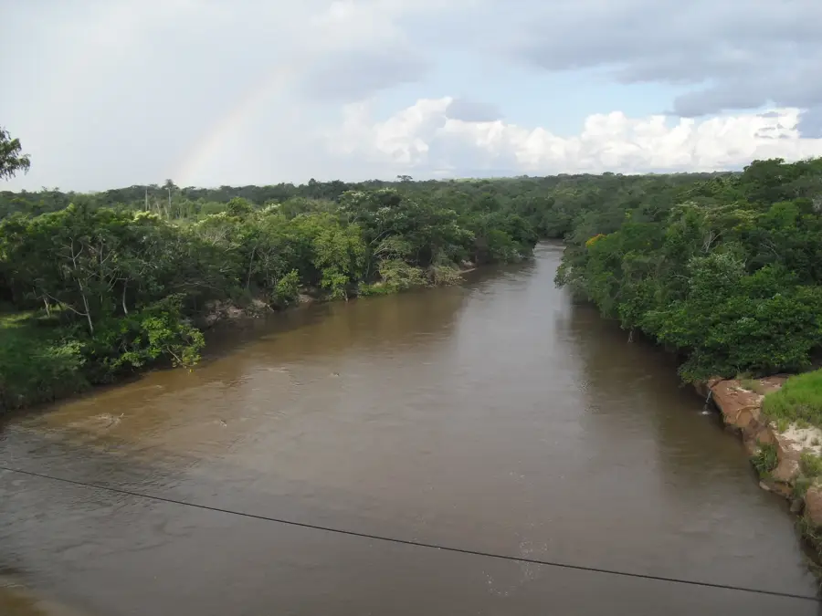
The Ypané River is a major eastern tributary of the Paraguay River, flowing through the departments of Amambay, San Pedro, and Concepción. It originates in the Amambay mountain range and spans a total length of about 280 kilometers. Geographically, the river serves as a natural border between the Concepción and San Pedro departments, draining a vast and fertile plain. The Ypané is historically significant, as its surroundings were the site of strategic rearguard actions during the War of the Triple Alliance, including the Battle of Ypané in December 1868. The riparian vegetation consists of dense gallery forests that provide shelter for numerous animal species, such as caimans and various types of herons. For the local economy, the river is vital due to irrigation opportunities and small-scale inland fishing. Despite increasing agricultural activities in its basin, many sections of the river still maintain their original natural structure.
- Location: Paraguay
- Nearby: Horqueta (53 km)
Best time to visit & climate
The most pleasant time to visit is Jun–Aug.
| Jan | Feb | Mar | Apr | May | Jun | Jul | Aug | Sep | Oct | Nov | Dec | |
|---|---|---|---|---|---|---|---|---|---|---|---|---|
| Avg °C | 29 | 28 | 28 | 25 | 20 | 19 | 18 | 21 | 24 | 27 | 27 | 28 |
| Rain mm | 157 | 151 | 120 | 139 | 116 | 71 | 48 | 31 | 73 | 151 | 204 | 167 |
📋 Practical info
Geography
Facts
- Total length of approximately 282 kilometers.
- Empties into the Paraguay River south of Concepción.
- Forms the boundary between Concepción and San Pedro.
- Originates in the Amambay mountain range.
- Average width varies between 40 and 60 meters.
- Site of major historical battles in 1868.
Explore nearby
Notable places around
Route planner — Car & Motorhome
Where do you start? We build the route here, with stops and country notes along the way.
© OpenStreetMap contributors · OpenRouteService
Sights nearby
Frequently asked questions
What is the difficulty level for canoeing on the Río Ypané?
When is the best time to visit the river?
Is there parking near the riverbanks?
What is the availability of restaurants along the river?
What is the weather risk?
Ypané River: where is it located?
Ypané River: when is the best time to visit?
Ypané River: why is it worth visiting?

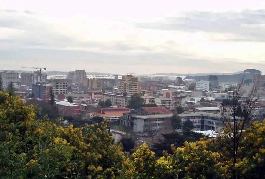
Nearby cities
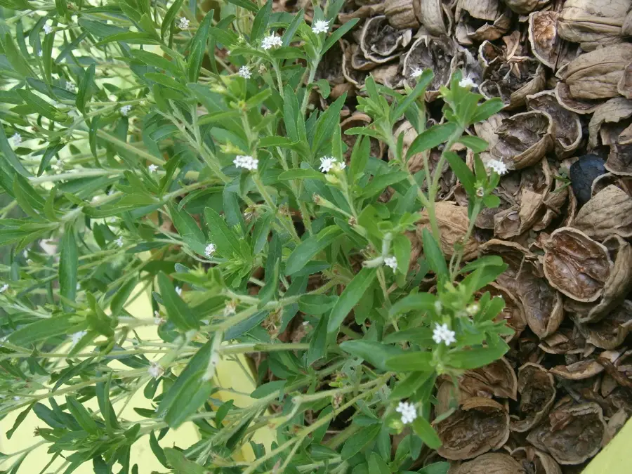
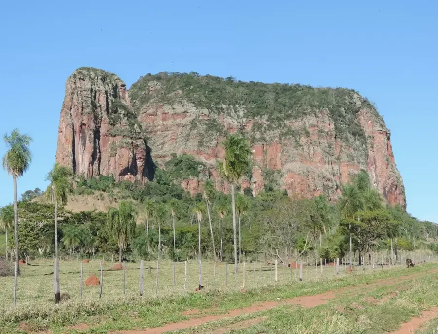
Nature