Plizio Visual Lab
Lambaré
ℹ️Practical info — Lambaré
▾
🌤 Weather — 5 days
📍 Nearby
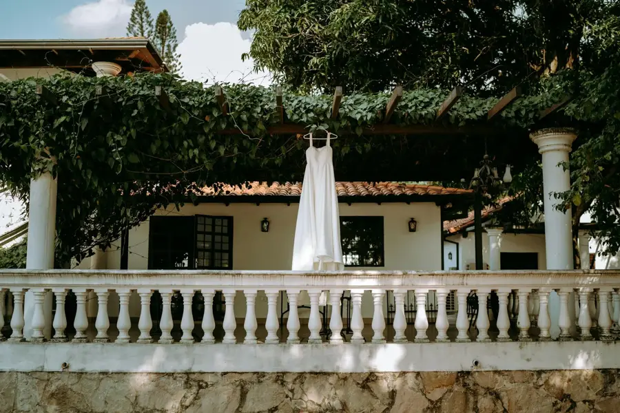
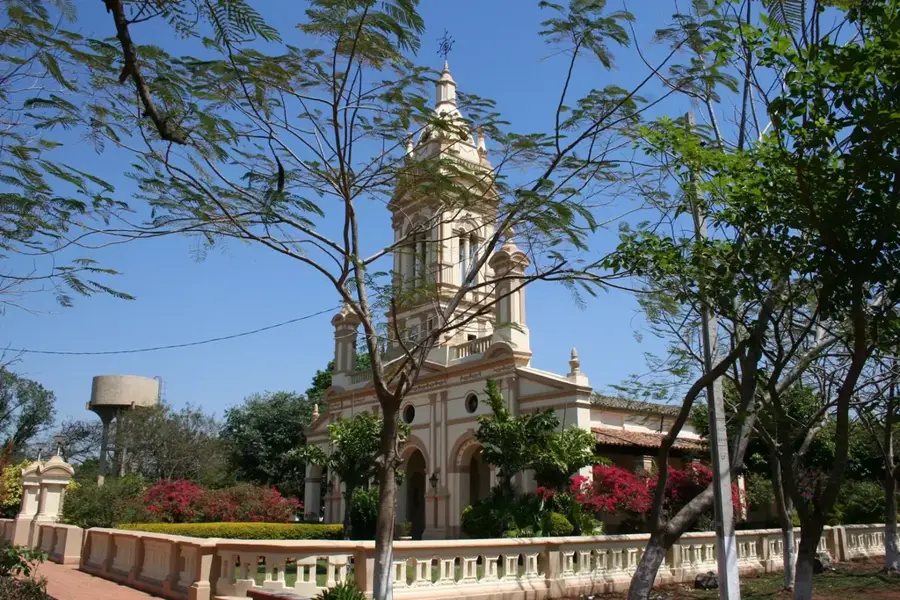
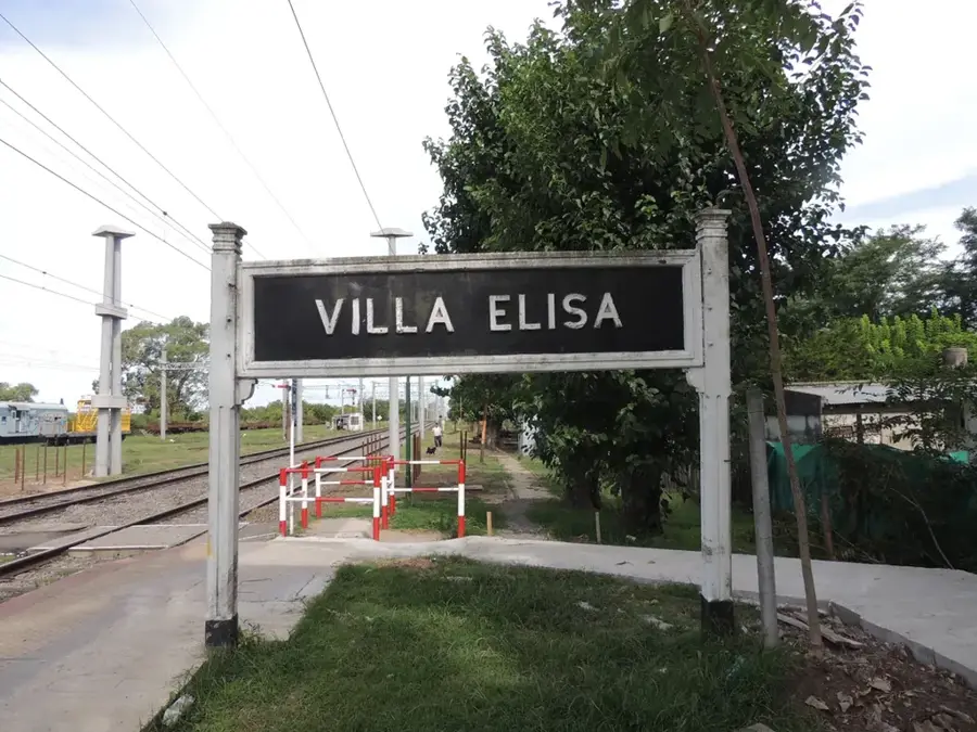
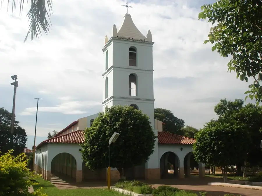
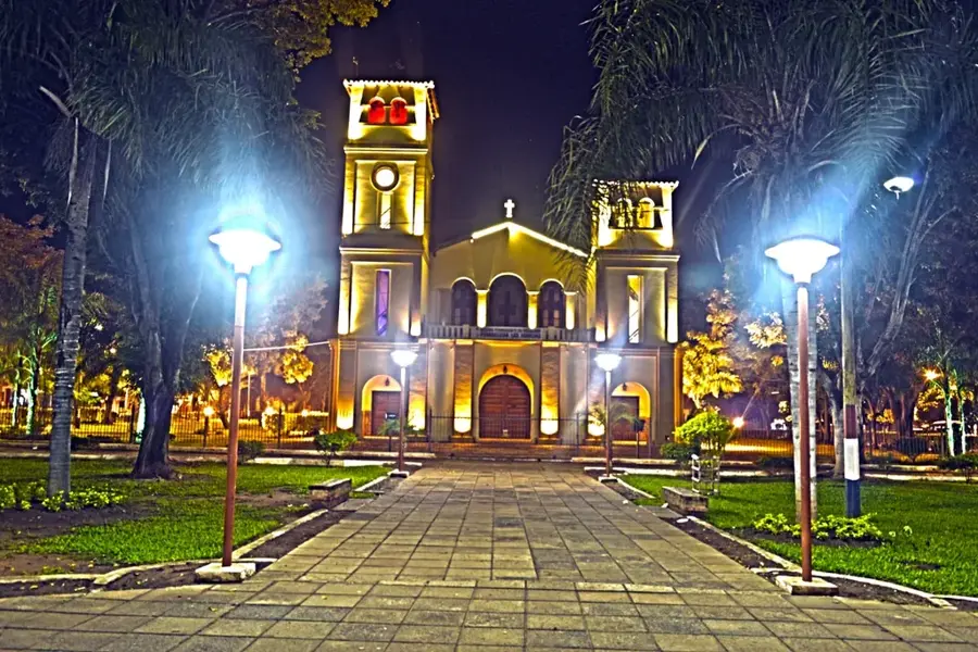
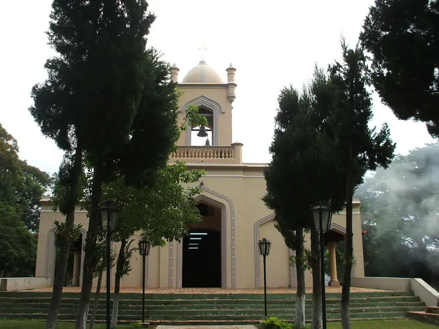
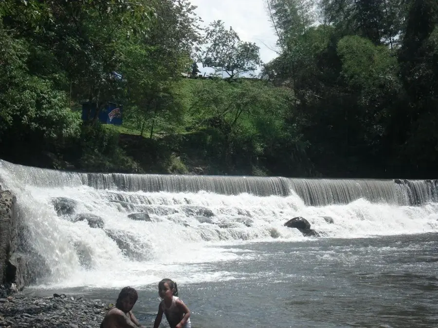
Sights nearby
💡 Tips
- Hike or drive up Cerro Lambaré in the late afternoon for the best sunset views over the Paraguay River.
- Use ride-hailing apps like Uber or Bolt from Asunción; local buses can be confusing.
- Carry small Guarani bills for purchases at small shops or stalls.
- Mosquito repellent is essential, especially near the river or hill.
🍽 Food
Buy this traditional cheese bread from street vendors or local panaderías.
Try this savory cornbread at traditional eateries in the area.
Enjoy grilled meats at local parrilladas (steakhouses).
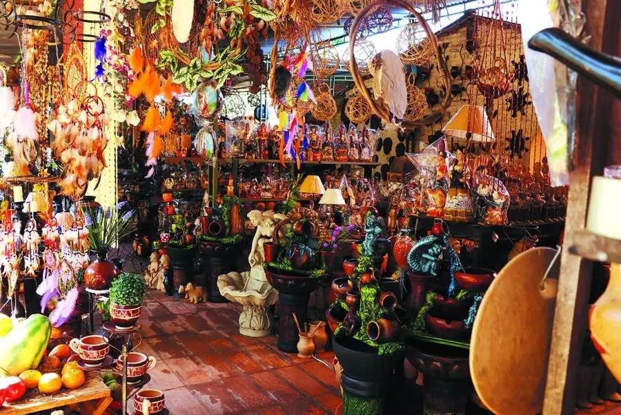
🛍 Shopping · 🧘 Quiet spots
A great spot for local produce and daily goods.
Look for local crafts near the Cerro Lambaré, especially on weekends.
Features a peaceful panoramic view of the surrounding landscape.
Take a quiet walk in the residential areas near the Paraguay River.
Water temperature…
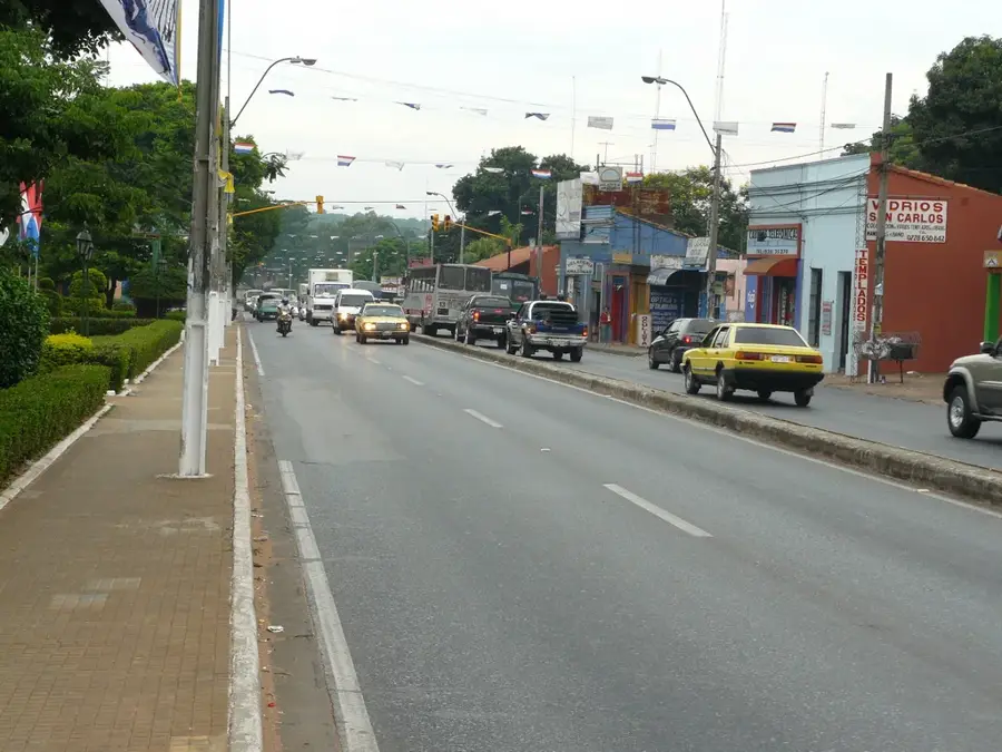
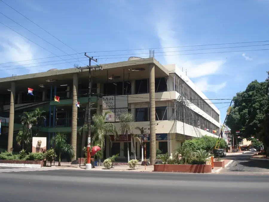
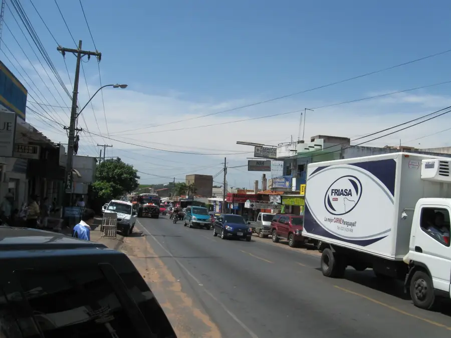
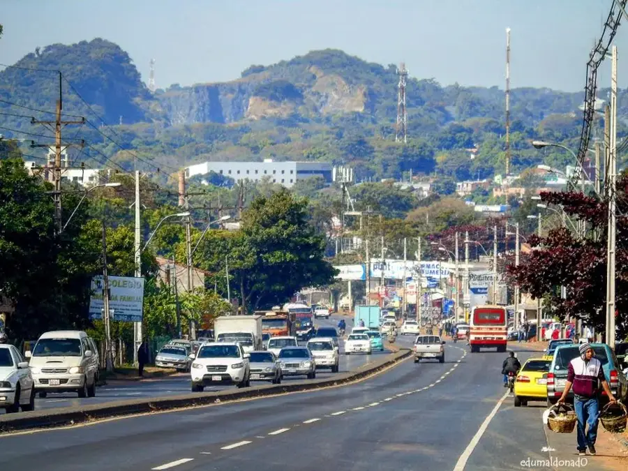
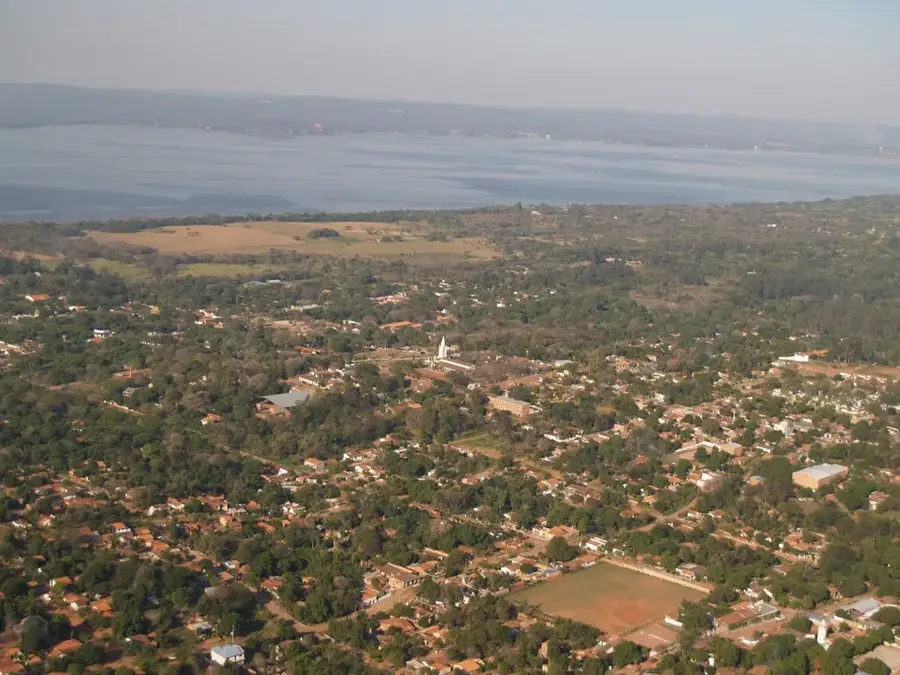
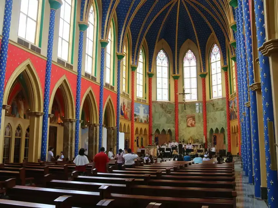
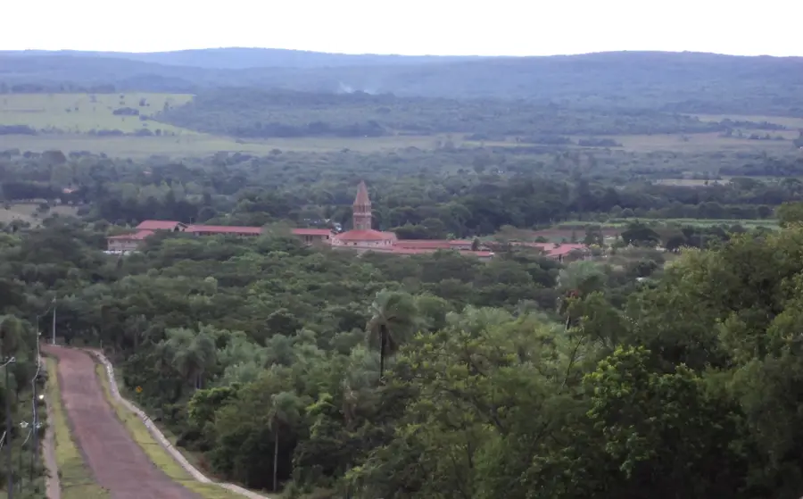
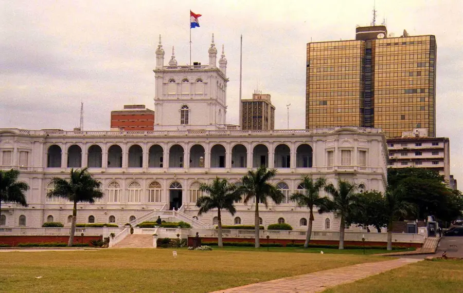
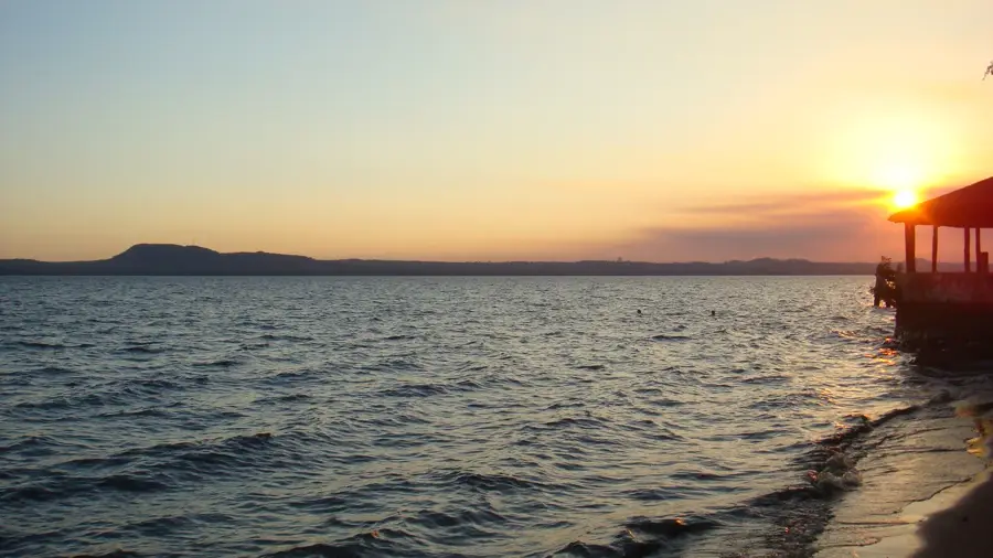
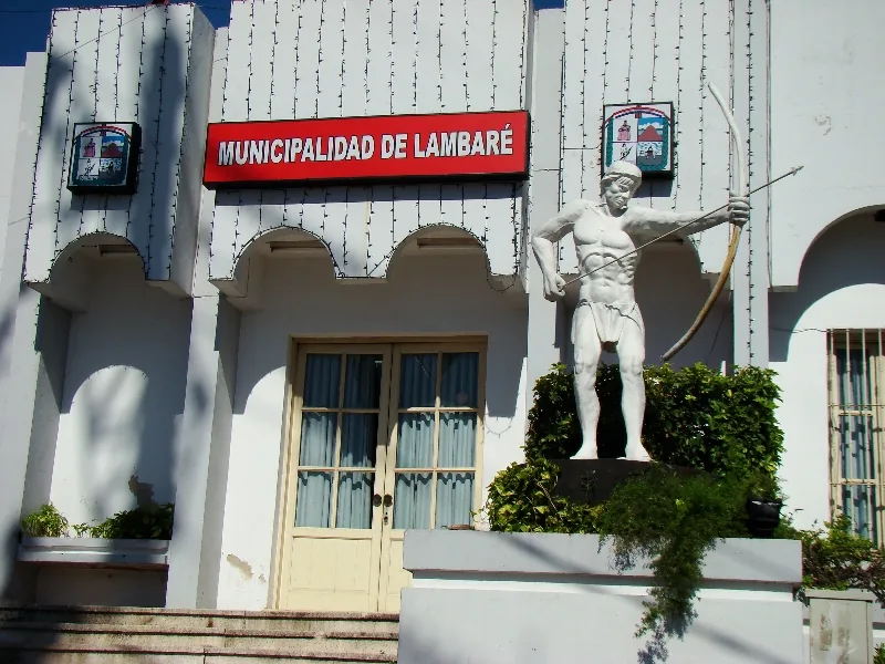
Lambaré was officially founded in 1766 by Governor Carlos Morphi, although the region had been inhabited long before by indigenous peoples under the leadership of Chief Lambaré. The city borders the south of Asunción and stretches along the Paraguay River, giving it a strategic and pretty location. One of the most important geographical features is Cerro Lambaré, with a monument at its summit honoring Paraguayan leaders and indigenous history, offering a panoramic view of the region. Lambaré has evolved from a quiet suburb into a dynamic city with significant tourist facilities, such as the exclusive Yacht y Golf Club Paraguayo. The economy is based on a mix of commerce, services, and some industrial plants, while residential areas offer a high quality of life for commuters to the capital. Historically, the city has often been the site of political and social changes closely linked to the development of the nearby capital, Asunción.
- Location: Paraguay
- Nearby: Fernando de la Mora (7 km)
- Population: ~126.377 (2019)
Best time to visit & climate
The most pleasant time to visit is Jun, Aug, Sep.
| Jan | Feb | Mar | Apr | May | Jun | Jul | Aug | Sep | Oct | Nov | Dec | |
|---|---|---|---|---|---|---|---|---|---|---|---|---|
| Avg °C | 28 | 28 | 27 | 23 | 19 | 17 | 16 | 18 | 21 | 24 | 25 | 27 |
| Rain mm | 126 | 139 | 136 | 149 | 143 | 74 | 63 | 38 | 73 | 163 | 191 | 179 |
Geography
Facts
- Founded in 1766 by Governor Carlos Morphi.
- Named after the legendary indigenous Chief Lambaré.
- Cerro Lambaré stands 139 meters high.
- Home to the prestigious Yacht y Golf Club Paraguayo.
- Directly borders the Paraguay River to the west.
- Part of the Asunción metropolitan area in Central Department.
Explore nearby
Notable places around
Route planner — Car & Motorhome
Where do you start? We build the route here, with stops and country notes along the way.
© OpenStreetMap contributors · OpenRouteService
Frequently asked questions
What is typical for Lambaré?
Is a visit worth it?
How long to stay?
Best time of day?
How to get there?
Lambaré: where is it located?
Lambaré: when is the best time to visit?
Lambaré: why is it worth visiting?

Nearby cities