Plizio Visual Lab
Ngeruktabel Stone Fort
Weather…
Water temperature…
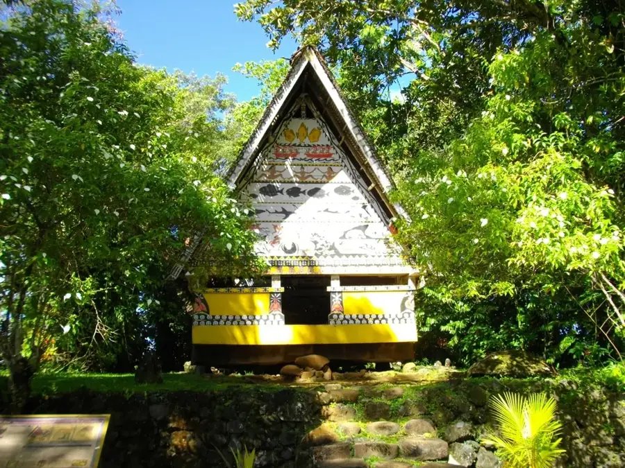
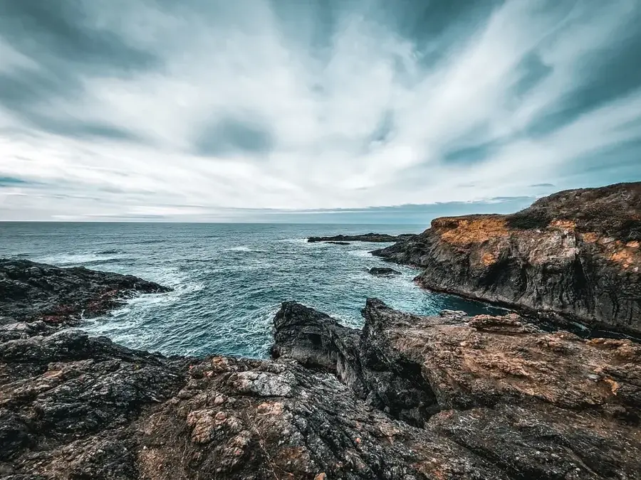
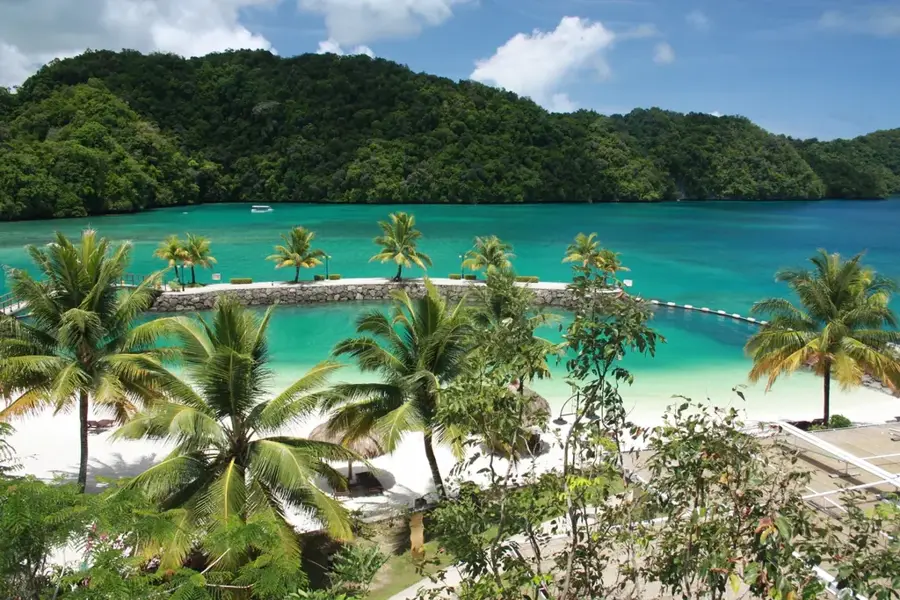
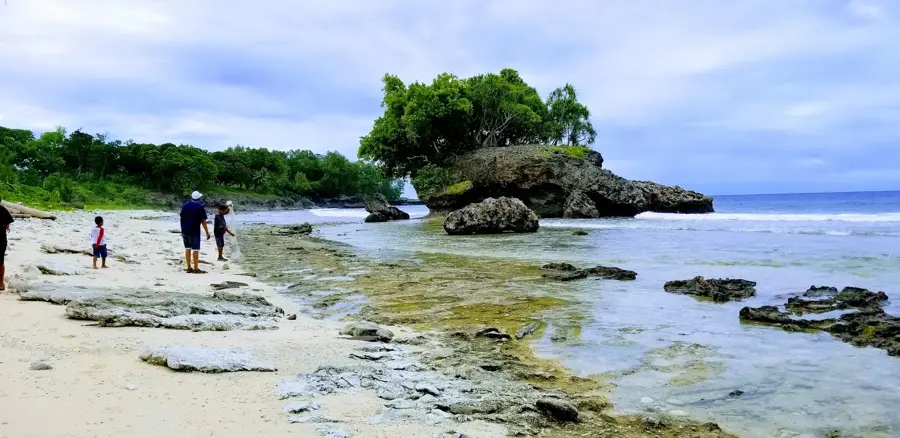
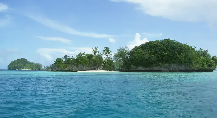
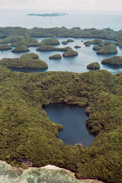
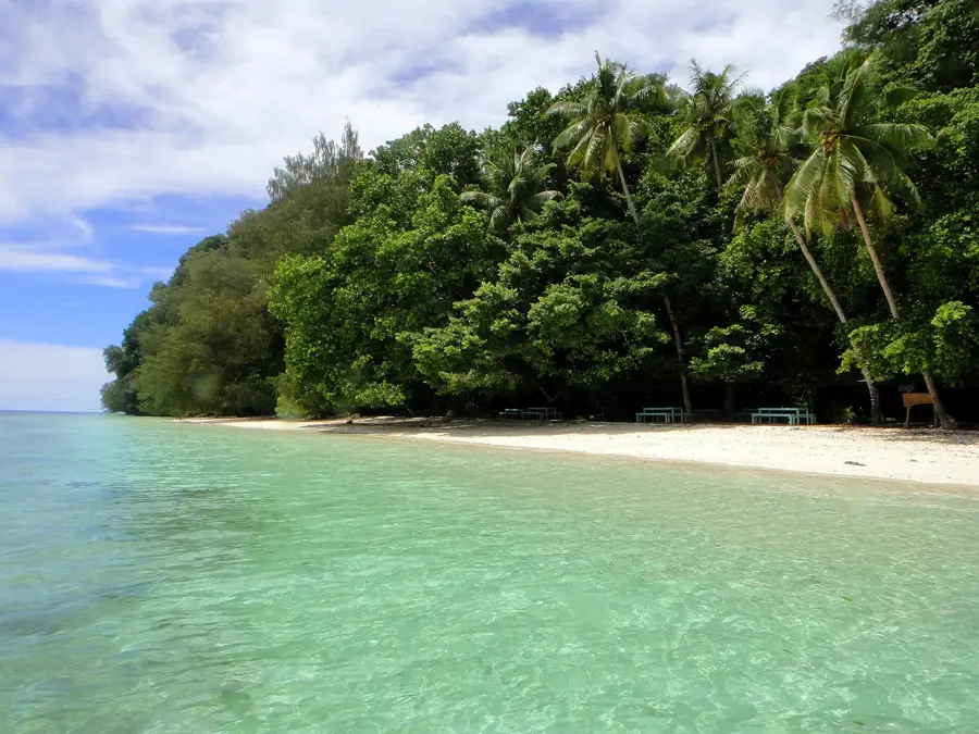
Situated on the uninhabited Ngeruktabel Island within Palau's UNESCO-listed Rock Islands, the Ngeruktabel Stone Fort is a remarkable example of pre-colonial defensive architecture. Built from massive, locally sourced limestone blocks stacked without mortar, the fort showcases the sophisticated engineering skills of early Palauan society. It served as a vital strategic refuge and lookout point during periods of intense inter-island and inter-village warfare. Its high vantage point provided guards with an unobstructed view of the surrounding lagoons, allowing them to spot approaching war canoes from a great distance. Today, the ruins are partially reclaimed by dense tropical jungle, offering intrepid visitors a unique glimpse into the archipelago's martial history before European contact. Reaching the site involves a trek through rugged terrain, but the reward is a combination of historical intrigue and panoramic panoramic views over the turquoise waters and mushroom-shaped limestone islets of the lagoon.
- Location: Palau
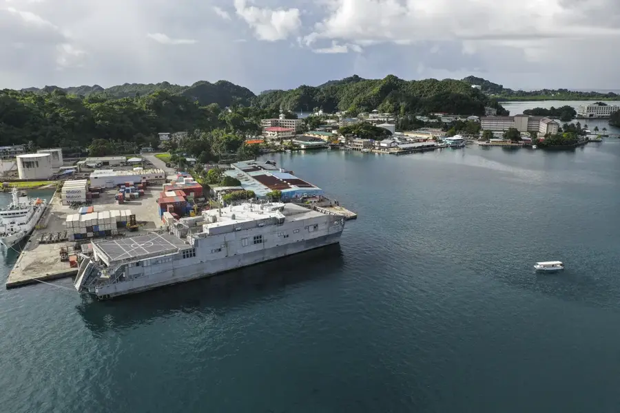
- Nearby: Meyuns (8 km)
Best time to visit & climate
The most pleasant time to visit is Feb–Apr.
| Jan | Feb | Mar | Apr | May | Jun | Jul | Aug | Sep | Oct | Nov | Dec | |
|---|---|---|---|---|---|---|---|---|---|---|---|---|
| Avg °C | 28 | 28 | 28 | 28 | 28 | 28 | 28 | 28 | 28 | 28 | 28 | 28 |
| Rain mm | 216 | 197 | 183 | 177 | 279 | 331 | 375 | 303 | 284 | 236 | 239 | 246 |
📋 Practical info
Geography
Facts
- The fort is located on Ngeruktabel Island, south of Koror.
- It was constructed using local limestone and coral rock.
- The defensive walls exceed 2 meters in thickness in some areas.
- The fort served as a primary refuge during coastal raids.
- Archaeologists date the complex to the 15th to 17th centuries.
- The site is accessible only via a steep and difficult climb.
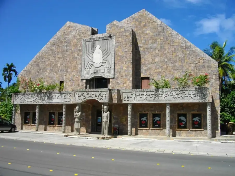
Explore nearby
Notable places around
Route planner — Car & Motorhome
Where do you start? We build the route here, with stops and country notes along the way.
© OpenStreetMap contributors · OpenRouteService
Sights in the town Ngeruktabel Stone Fort (1)
Sights nearby
Frequently asked questions
What is the stone fort?
How do you get there?
Are there beaches there?
Should you book a tour guide?
How long is the stay?
Ngeruktabel Stone Fort: where is it located?
Ngeruktabel Stone Fort: when is the best time to visit?
Ngeruktabel Stone Fort: why is it worth visiting?

Nearby cities


History & landmarks

Nature

More places