Plizio Visual Lab
Suldal
ℹ️Practical info — Suldal
▾
🌤 Weather — 5 days
📍 Nearby
Sights nearby
💡 Tips
- Visit the Salmon Studio (Laksestudio) at Sandsfossen waterfall in Sand, where you can watch wild salmon through a glass window as they migrate upstream.
- Take a drive to Nesflaten to see the unique, brutalist hydro-power architecture designed by Geir Grung in the 1960s.
- The Suldalslågen river is famous for salmon fishing, but even if you don't fish, a walk along its banks is incredibly scenic.
- Stop at local farm shops in the region; Suldal is known for its excellent agricultural products, especially fruit and meats.
🍽 Food
Try the locally caught wild salmon, often served smoked or baked at restaurants and hotels in Sand.
Look for this renowned, traditional cured ham at local farm outlets or delis.
Enjoy a glass of refreshing cider made from apples grown in the orchards around the fjords.
🛍 Shopping · 🧘 Quiet spots
Buy locally produced honey, cured meats, and fresh fruits directly from the farmers across the municipality.
Browse the small shops in the center of Sand for wooden crafts and knitted Norwegian sweaters.
Take a serene walk or sit by the shores of this large, deep lake, especially beautiful at sunrise.
Listen to the powerful, yet soothing sound of the waterfall right near the center of Sand.
Water temperature…
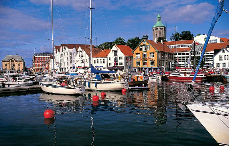
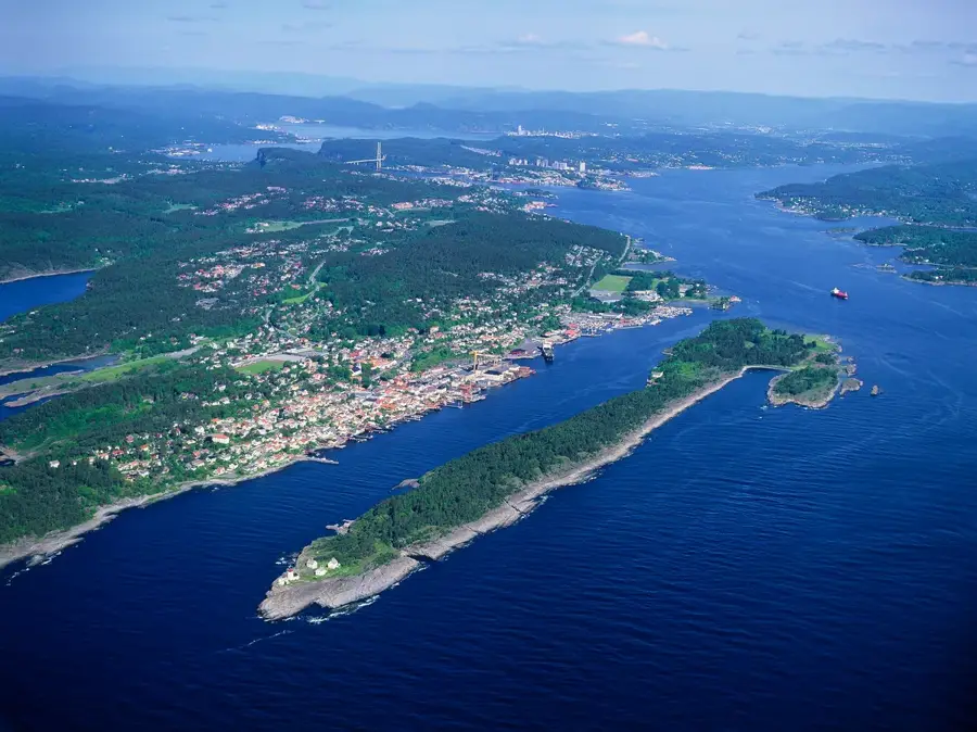
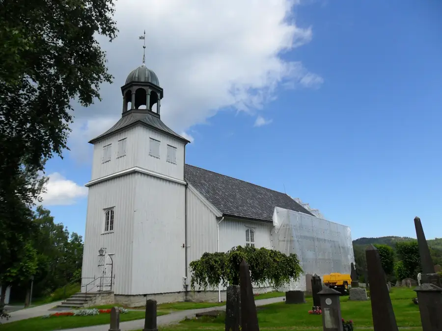
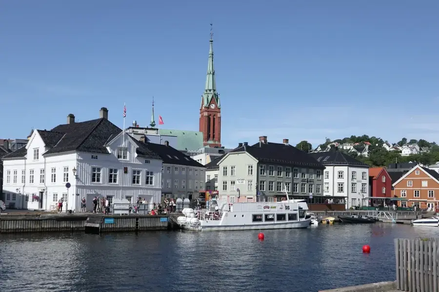
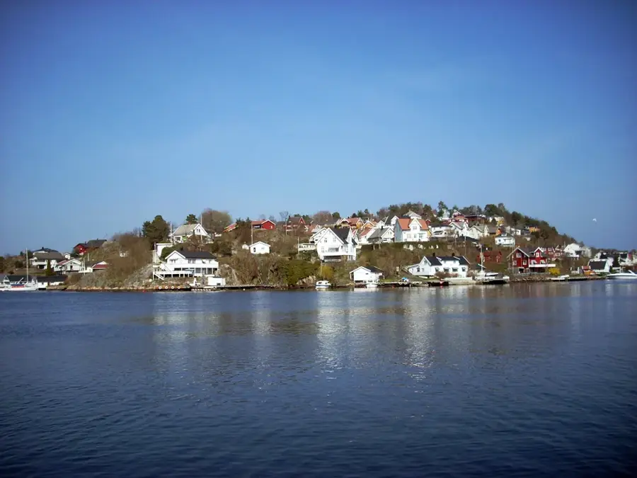
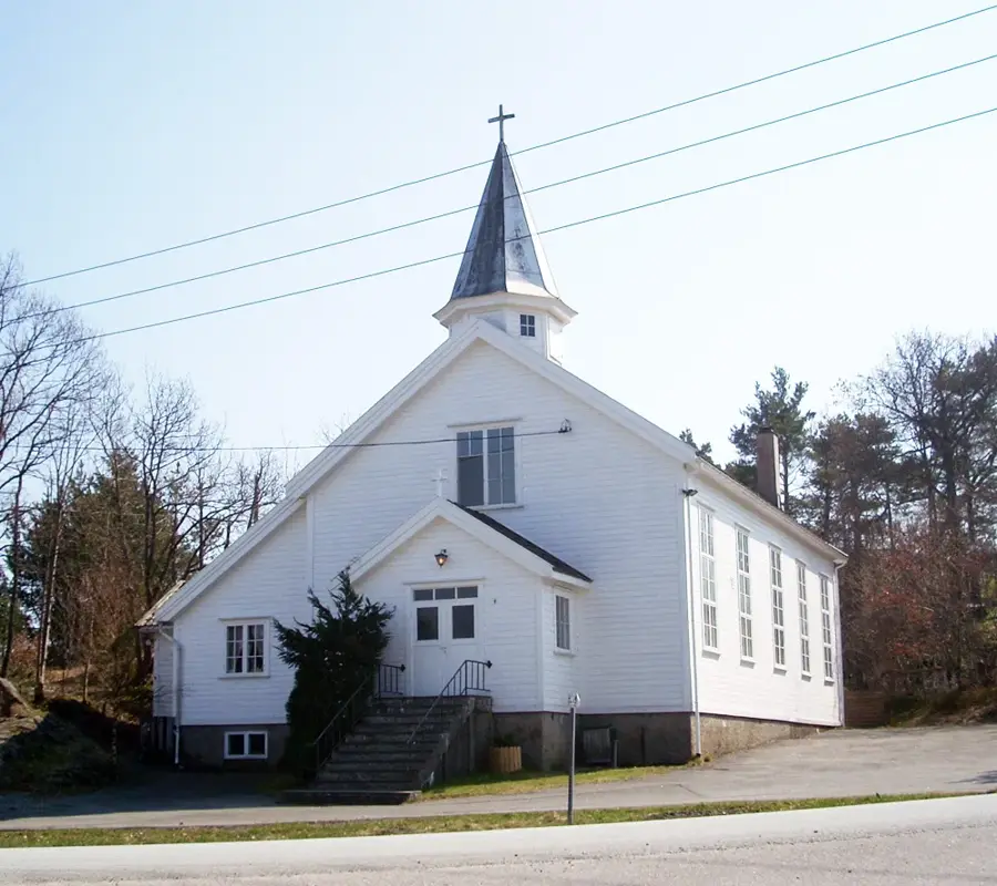
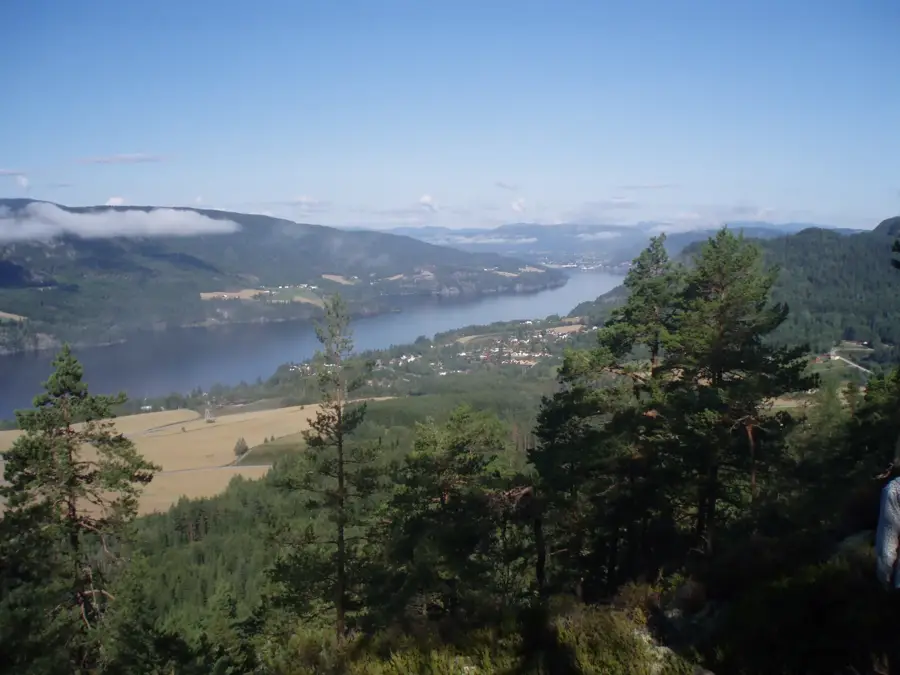
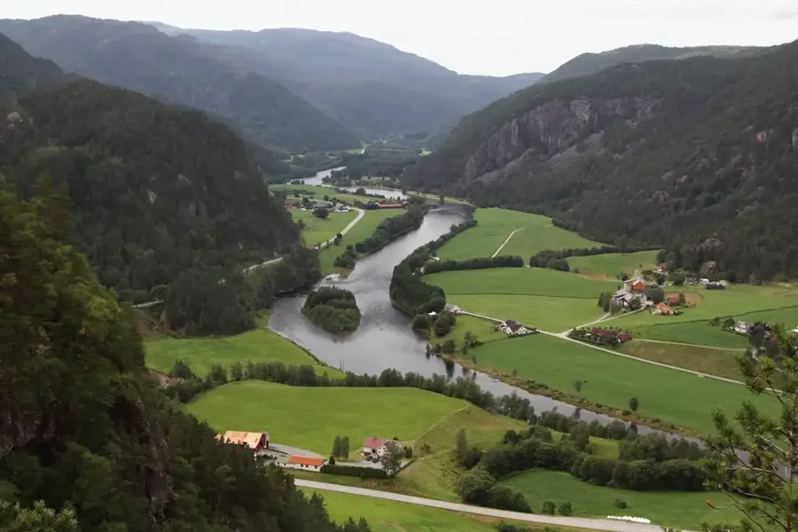
Suldal is the largest municipality by area in Rogaland, located in the northeastern part of the county. The municipality is characterized by an awe-inspiring natural setting, ranging from deep fjords to the high mountains of Ryfylke. The administrative centre is Sand, a scenic village situated on the Sandsfjord. Suldal is a powerhouse of Norwegian energy production; the Ulla-Førre project, one of Northern Europe's largest hydroelectric power schemes, harnesses the region's vast water resources. A landmark in Sand is the modern Høsebrua bridge, spanning the Suldalslågen river, which is one of the country's premier salmon-fishing rivers. Culturally, Suldal is home to the Ryfylke Museum, which preserves the regional heritage. The landscape is further enhanced by the Suldalsvatnet lake and the powerful Sandsfossen waterfall. For visitors, the region has spectacular hiking trails and the Salmon Studio in Sand, where the fish migration can be observed closely.
- Location: Norway
- Top sights: Drotninghei naturreservat · Kvednahola kvernhusanlegg
- Nearby: Sand (12 km)
- Population: ~3.891 (2026)
Best time to visit & climate
The most pleasant time to visit is Jun–Aug.
| Jan | Feb | Mar | Apr | May | Jun | Jul | Aug | Sep | Oct | Nov | Dec | |
|---|---|---|---|---|---|---|---|---|---|---|---|---|
| Avg °C | -3 | -4 | -2 | 2 | 6 | 11 | 13 | 13 | 9 | 5 | 0 | -2 |
| Rain mm | 286 | 195 | 182 | 134 | 127 | 134 | 160 | 190 | 228 | 248 | 266 | 297 |
Geography
Facts
- Suldal covers an area of approximately 1,736 square kilometres.
- The Blåsjø reservoir is Norway's largest energy storage facility.
- Suldalsvatnet is one of the deepest lakes in the country at 376 metres.
- Sandsfossen is a well-known waterfall located near the centre of Sand.
- The Salmon Studio in Sand was opened to the public in 1987.
- The municipality of Suldal was established in its current form in 1965.
Explore nearby
Notable places around
Route planner — Car & Motorhome
Where do you start? We build the route here, with stops and country notes along the way.
© OpenStreetMap contributors · OpenRouteService
Sights in the town Suldal (2)
Frequently asked questions
What is Suldal known for?
What is the Laksestudio?
Are there historical buildings in Suldal?
What is Sandsfossen?
Can you go hiking in Suldal?
Suldal: where is it located?
Suldal: what is there to see?
Suldal: when is the best time to visit?
Suldal: why is it worth visiting?

Nearby cities