Plizio Visual Lab
Etne
ℹ️Practical info — Etne
▾
🌤 Weather — 5 days
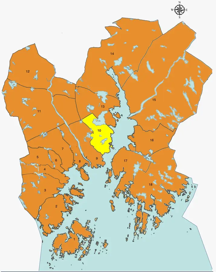
📍 Nearby
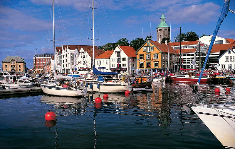
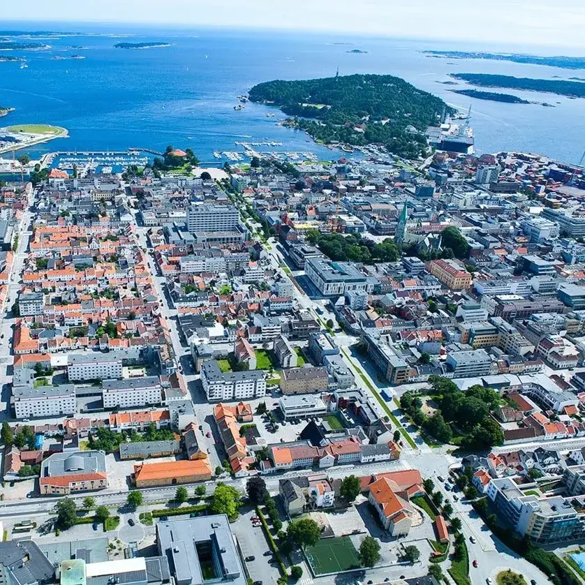
Sights nearby
💡 Tips
- Langfoss waterfall in the municipality is a must-see; visit early morning to avoid the tourist buses.
- The Etneelva river is famous for salmon fishing, but ensure you buy a local permit well in advance.
- Good, waterproof hiking boots are essential, as the mountain trails here can be muddy and steep.
- Parking at major hiking trailheads often requires a small fee via a local app, so check requirements.
- If traveling on the E134 highway, expect occasional delays due to tunnels and narrow mountain passes.
🍽 Food
Etne is famous for its salmon river; look for fresh or smoked salmon in local eateries.
A hearty traditional meat and potato stew great after a long hike, available at local diners.
Stop by a bakery in the village center for these delicious traditional cinnamon rolls.
🛍 Shopping · 🧘 Quiet spots
Look for handmade signs saying "Gardsutsal" along the rural roads to buy local meats and cheeses.
The shops in Etne center offer excellent equipment in case you forgot your hiking or fishing gear.
Find a peaceful spot along the inner fjord for a picnic away from the bustling highway.
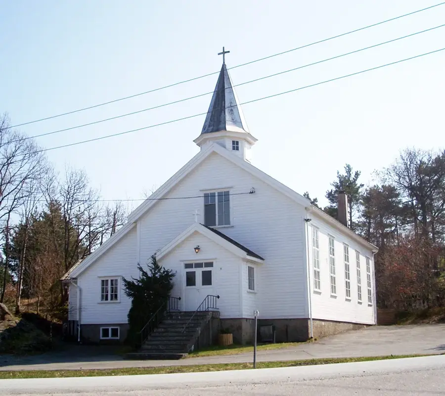
A historic, peaceful stone church setting surrounded by dramatic mountains.
Water temperature…
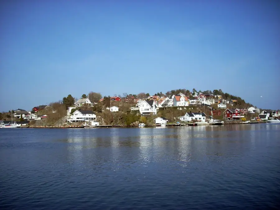
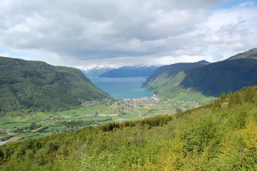
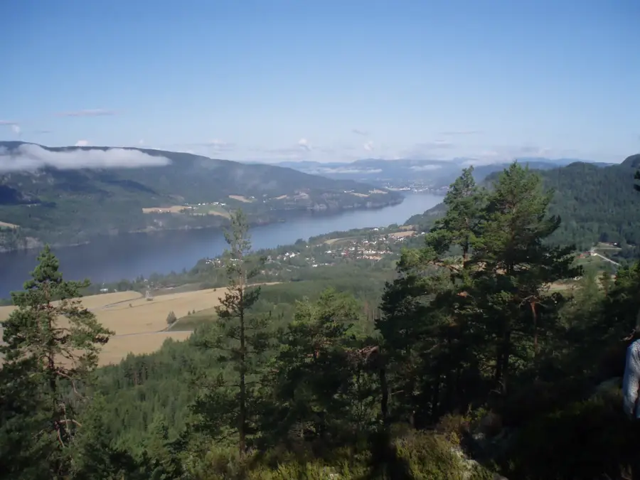
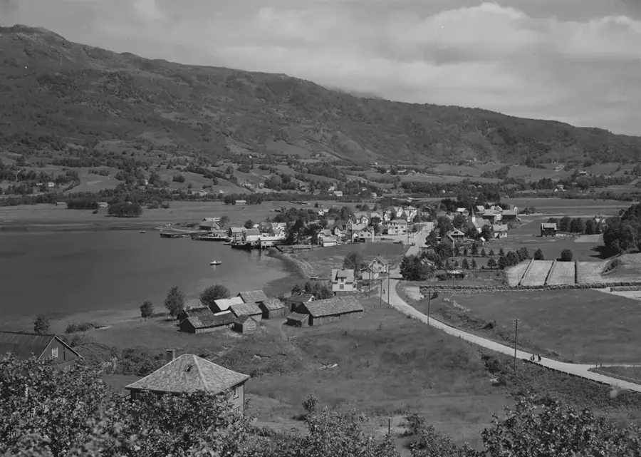
Etne is a municipality in the southeastern part of Vestland county, Norway, set within the easy on the eye Sunnhordland region. The administrative center, Etnesjøen, is located at the head of the Etnefjord, a branch of the larger Skånevikfjord. The history of the area is exceptionally rich, with archaeological findings such as the Stødle rock carvings dating back to the Bronze and Iron Ages. Geographically, Etne is defined by its dramatic contrasts between lush, fertile valleys and rugged mountain massifs, featuring the world-renowned Langfoss waterfall, which drops 612 meters. The local economy relies heavily on agriculture and sheep farming, while increasingly benefiting from hydropower production and tourism. Situated along the E134 European highway, Etne serves as a vital commercial hub for the surrounding rural communities. The annual Etne-Marknaden (Etne Market) attracts thousands of visitors every August, highlighting the town's role as a significant regional cultural center.
- Location: Norway
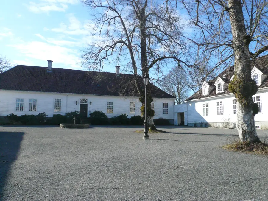
- Top sights: Sæbøtunet · Etne kyrkje · Gjerde kyrkje
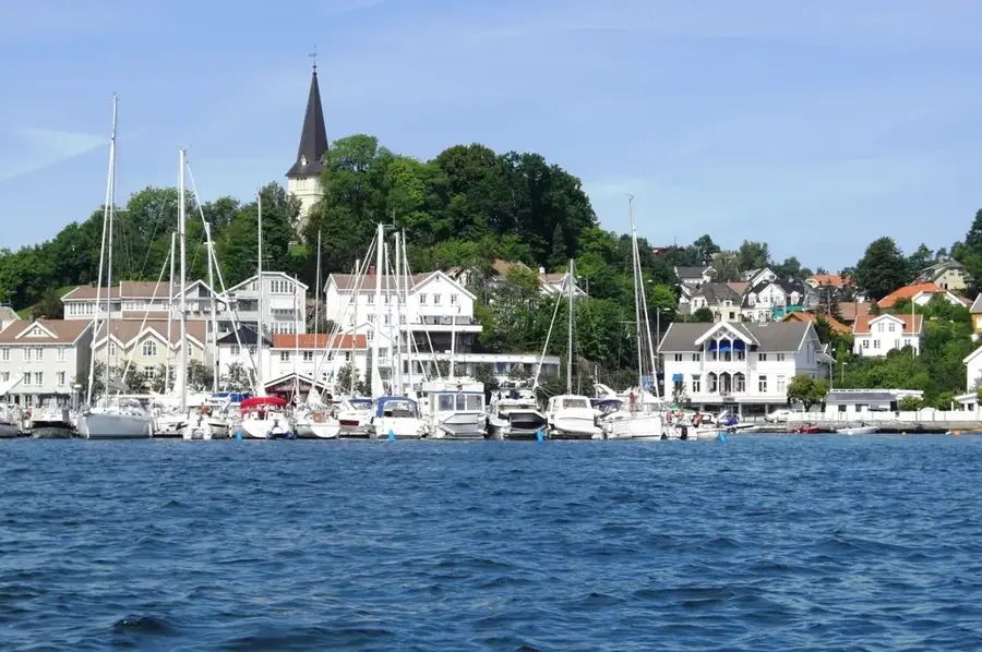
- Nearby: Skånevik (8 km)
- Population: ~1.283
Best time to visit & climate
The most pleasant time to visit is Jun–Aug.
| Jan | Feb | Mar | Apr | May | Jun | Jul | Aug | Sep | Oct | Nov | Dec | |
|---|---|---|---|---|---|---|---|---|---|---|---|---|
| Avg °C | -3 | -4 | -2 | 2 | 6 | 11 | 13 | 13 | 9 | 5 | 0 | -2 |
| Rain mm | 286 | 195 | 182 | 134 | 127 | 134 | 160 | 190 | 228 | 248 | 266 | 297 |
Geography
Facts
- Langfoss waterfall has a total vertical drop of 612 meters
- The municipality was established in 1838 under Norwegian law
- Stødle rock carvings provide evidence of Bronze Age habitation
- The municipality covers a total area of 735 square kilometers
- Etne is located along the E134 European highway route
- The annual Etne Market is a major event held every August
Explore nearby
Notable places around
Route planner — Car & Motorhome
Where do you start? We build the route here, with stops and country notes along the way.
© OpenStreetMap contributors · OpenRouteService
Sights in the town Etne (5)
Frequently asked questions
What is the main attraction in Etne?
Is there Viking history in Etne?
What is Etnemarknaden?
Where can you go hiking in Etne?
Are there good fishing spots?
Etne: where is it located?
Etne: what is there to see?
Etne: when is the best time to visit?
Etne: why is it worth visiting?

Nearby cities