Plizio Visual Lab
Struve Geodetic Arc Hammerfest
Plizio editorial teamData Sources
monument
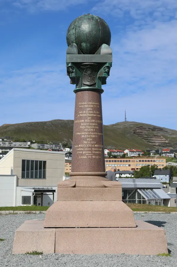
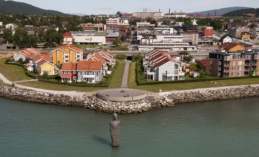
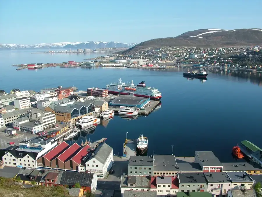
The Meridian Column in Hammerfest, known as Meridianstøtten, marks the northernmost measurement point of the Struve Geodetic Arc, a network of survey triangulations used in the 19th century to accurately determine the size and shape of the Earth. Located in the Fuglenes district, the monument commemorates the international scientific cooperation that took place between 1816 and 1855 under the leadership of astronomer Friedrich Georg Wilhelm Struve. The column was erected in 1854 and features a granite base topped by a bronze globe representing the Earth. The project involved 265 main station points across ten modern-day countries, stretching 2,820 kilometers from the Arctic Ocean to the Black Sea. Since 2005, the Struve Geodetic Arc has been inscribed on the UNESCO World Heritage List as a milestone in the history of geodesy and international scientific research. Hammerfest served as the final terminal for the Arctic section of this monumental surveying endeavor.
- Location: Norway
- Top sights: Museum of Reconstruction · Hammerfest kirke · The Polar Bear Society
- Nearby: Transfarelv - Gáidoš - Kaitusjoki (76 km)
Best time to visit & climate
The most pleasant time to visit is Jun–Aug.
| Jan | Feb | Mar | Apr | May | Jun | Jul | Aug | Sep | Oct | Nov | Dec | |
|---|---|---|---|---|---|---|---|---|---|---|---|---|
| Avg °C | -6 | -6 | -4 | -1 | 3 | 7 | 11 | 10 | 7 | 2 | -2 | -4 |
| Rain mm | 69 | 65 | 83 | 63 | 79 | 95 | 100 | 93 | 86 | 92 | 78 | 84 |
📋 Practical info
Visiting
This open-air monument of the Struve Geodetic Arc in Hammerfest is a UNESCO World Heritage site and can be visited at any time. It marks a key point of the 19th-century Earth measurement, located near the coastline. A short walk leads to the stone pillar with an informative plaque.
Typical hours
As an outdoor monument, there are no set opening hours - access is possible around the clock. Visiting during daylight is recommended to fully appreciate the coastal setting. In winter, the path may be icy, so caution is advised.
Photography
Photography is allowed without restrictions as the monument is outdoors and has no fragile exhibits. Best shots are achieved with the sea as a backdrop in good weather. Early morning or late evening light creates a particularly atmospheric scene.
Time needed
Typically, 15 to 20 minutes are enough to view the monument and read the information board. If you want to enjoy the surrounding landscape, allow about 30 minutes. The short stop can easily be combined with a walk through town.
Combine with
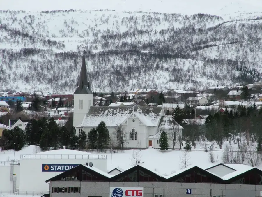
Combine your visit with a stroll through the town of Hammerfest, known for its northern location. Nearby are the Hammerfest Museum and the rebuilt church. A trip to Nordkapp, Europe's northernmost point, is also a great option.
Getting there
The monument is within walking distance from Hammerfest city centre, about a 10-minute walk from the harbour or bus station. Parking is available in town; follow the signs to the Meridian Stone.
Insider tip
Take a moment to understand the scientific significance of the Struve Arc from the information board - the measurement was a milestone in geodesy. Since weather in northern Norway is changeable, dress warmly and waterproof even in summer.
Geography
Facts
- The Meridian Column was officially completed in 1854.
- The Struve Geodetic Arc passes through 10 countries from Norway to Ukraine.
- It was inscribed as a UNESCO World Heritage site in 2005.
- Hammerfest's Fuglenes point is one of 34 original station points preserved.
- The monument is made of Norwegian granite and bronze.
- It celebrates the first accurate measurement of a long segment of a meridian.
Explore nearby
Notable places around
Route planner — Car & Motorhome
Where do you start? We build the route here, with stops and country notes along the way.
Vehicle
Only stops with (optional):
© OpenStreetMap contributors · OpenRouteService
Sights in the town Struve Geodetic Arc Hammerfest (10)
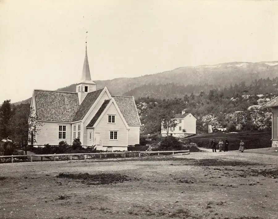
Fuglensodden Friluftsmuseum🏛 museum
Open-air museum in Hammerfest with historic buildings.
The Struve Geodetic Arc - Hammerfest
Survey point of the Struve Geodetic Arc, UNESCO site.
Sector light
Lighthouse in Hammerfest, aids navigation.
Hammerfest fort
World War II fort in Hammerfest.
Fuglenes fort
World War II fort on the Fuglenes peninsula.
Stranda
Beach in Hammerfest, suitable for swimming and walks.
Sights nearby
Frequently asked questions
What is the Meridian Column in Hammerfest?
It marks the northernmost measurement point of the Struve Geodetic Arc used to determine Earth's shape.
Is it a UNESCO World Heritage site?
Yes, as part of the Struve Arc, it has been on the World Heritage List since 2005.
When was the column erected?
The column was completed in 1854.
Where exactly in Hammerfest is it located?
It is located in the Fuglenes district, near the harbor.
Is there an admission fee?
No, the monument is outdoors and can be visited for free at any time.
Struve Geodetic Arc Hammerfest: where is it located?
Struve Geodetic Arc Hammerfest is located in Norway.
Struve Geodetic Arc Hammerfest: what is there to see?
Highlights include Museum of Reconstruction, Hammerfest kirke, The Polar Bear Society.
Struve Geodetic Arc Hammerfest: when is the best time to visit?
The most pleasant time to visit is Jun, Aug.
Struve Geodetic Arc Hammerfest: why is it worth visiting?
The Meridian Column in Hammerfest, known as Meridianstøtten, marks the northernmost measurement point of the Struve Geodetic Arc, a network of survey triangulations used in the 19th century to accurately determine the size and shape of the Earth.

Explore with Plizio
Discover more places in Europe
More places in Norway →
Nearby cities

Ranheim
A picturesque coastal neighborhood in Trondheim, Norway, offering beautiful fjord views and relaxing outdoor spaces.

Gåseid
Gåseid is a quiet coastal suburb in Ålesund municipality, Norway, offering scenic views and direct access to the North Sea waters.
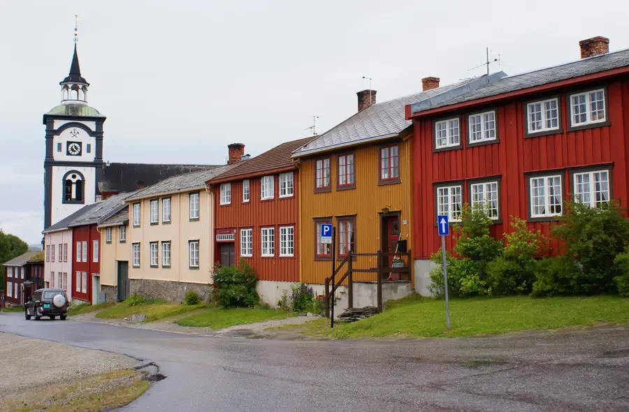
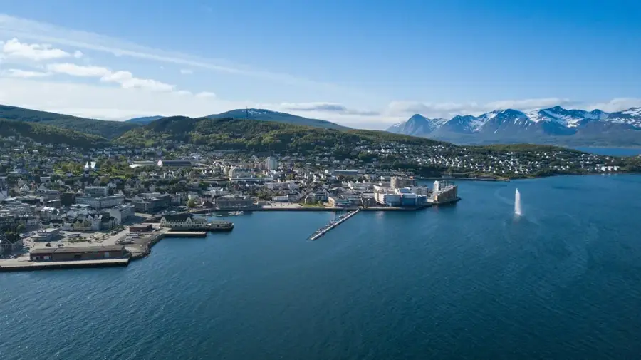
Tromsø Old Town
The historical core of Tromsø preserves 19th-century wooden houses.
Kristiansund
Kristiansund consists of several islands.
Molde
Molde is located on the coast and is known as the town of roses.
Harstad
Harstad is located on the island of Hinnøya.
Levanger
Levanger is a picturesque wooden town on the Trondheimsfjord, known for its well-preserved architecture, the historic Marsimartnan market…
Mo i Rana
Mo i Rana is located near the Arctic Circle.
Senja
Norway's second-largest island, known as 'Norway in miniature' for its incredibly diverse landscapes.
Steinkjer
Steinkjer is the administrative center of Trøndelag county.
Stjørdal
Stjørdal is located in Trøndelag county.
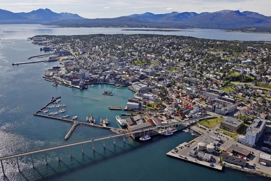
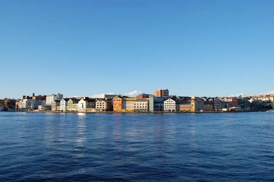
Hammerfest
Hammerfest claims to be the northernmost city in the world.
Sortland
Sortland is known as the blue city in the Vesterålen region.
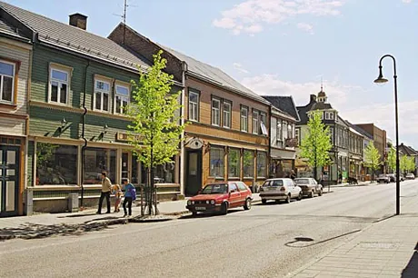
Sjøgata Mosjøen
Sjøgata is one of the best-preserved historic streets with wooden houses in Northern Norway.

Mosjøen
Mosjøen is situated at the head of the Vefsnfjord.