Plizio Visual Lab
Saltfjellet-Svartisen
Weather…
Water temperature…
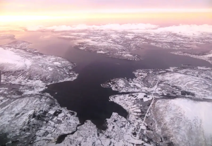
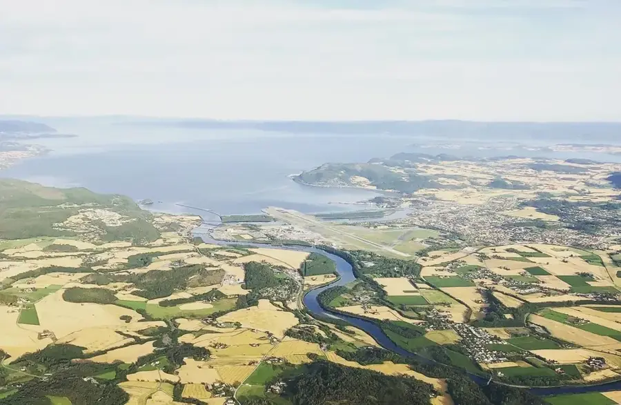
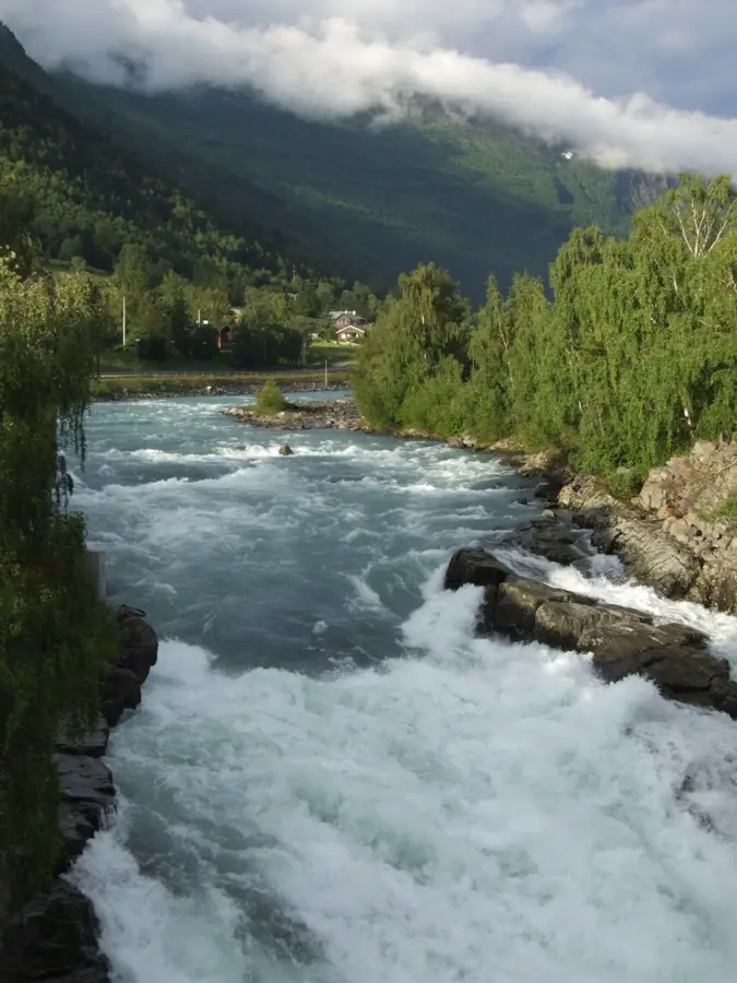
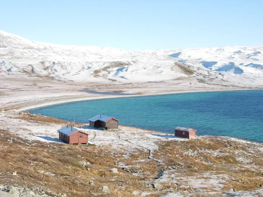
Saltfjellet-Svartisen National Park is located in the heart of Nordland and is one of Norway's most geographically diverse parks, stretching from fjords to high mountain peaks. Established in 1989, it covers an area of approximately 2,102 square kilometers and is famously bisected by the Arctic Circle. A defining feature of the park is the Svartisen glacier, Norway's second-largest ice cap, whose glacial tongues descend nearly to sea level. The park's geology is notable for its extensive limestone deposits, which have created numerous cave systems and underground rivers over millennia. Lush birch forests thrive in the lower valleys, while the higher elevations are dominated by arctic tundra and stark alpine terrain. Wildlife includes reindeer, wolverines, and the elusive Arctic fox, all finding refuge within the protected borders. Historically, the Saltfjellet region has been a vital transit route, evidenced by archaeological finds of Sami settlements and ancient reindeer herding sites. The park has exceptional opportunities for challenging hikes and glacier trekking, though the unpredictable weather demands thorough preparation. Monitoring the retreat of Svartisen due to climate change is currently a primary focus for park researchers.
- Location: Norway
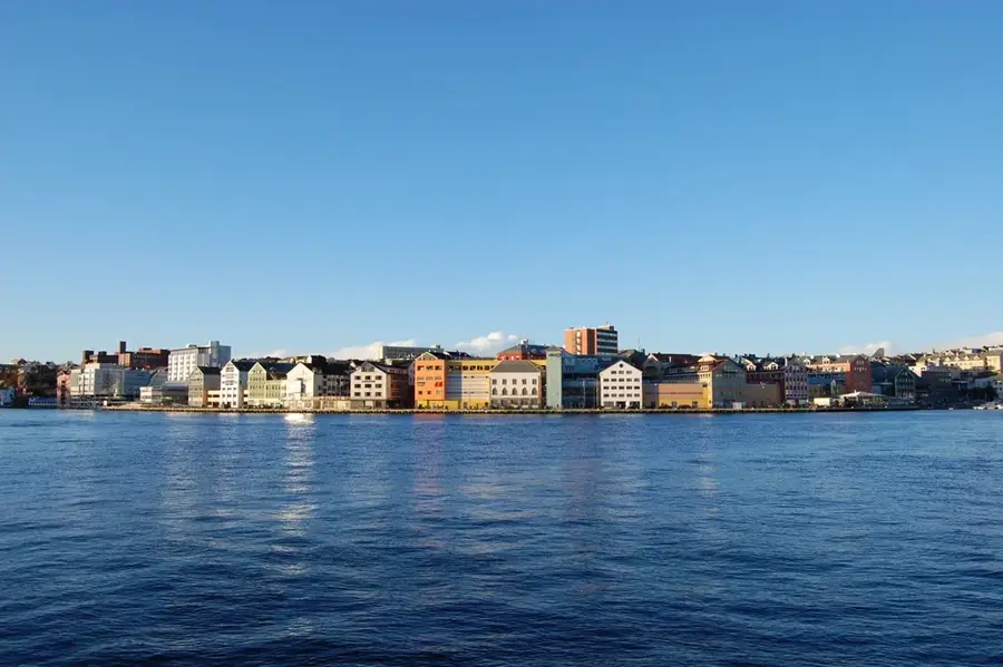
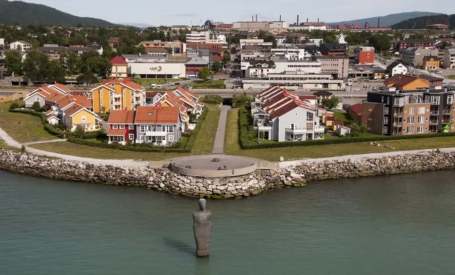
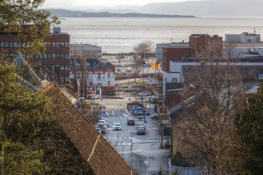
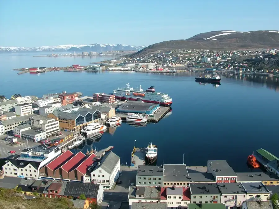
- Nearby: Ørnes (31 km)
Best time to visit & climate
The most pleasant time to visit is Jun–Aug.
| Jan | Feb | Mar | Apr | May | Jun | Jul | Aug | Sep | Oct | Nov | Dec | |
|---|---|---|---|---|---|---|---|---|---|---|---|---|
| Avg °C | -5 | -5 | -4 | 0 | 4 | 7 | 11 | 11 | 7 | 2 | -2 | -4 |
| Rain mm | 168 | 148 | 160 | 123 | 109 | 123 | 126 | 121 | 177 | 164 | 164 | 191 |
📋 Practical info
Geography
Facts
- The Arctic Circle passes directly through the national park.
- Svartisen is Norway's second-largest glacier, covering 370 km².
- The national park was officially established in 1989.
- The total area of the park is approximately 2,102 km².
- There are over 20 government-maintained hiking cabins in the park.
- The park contains some of Scandinavia's deepest limestone caves.
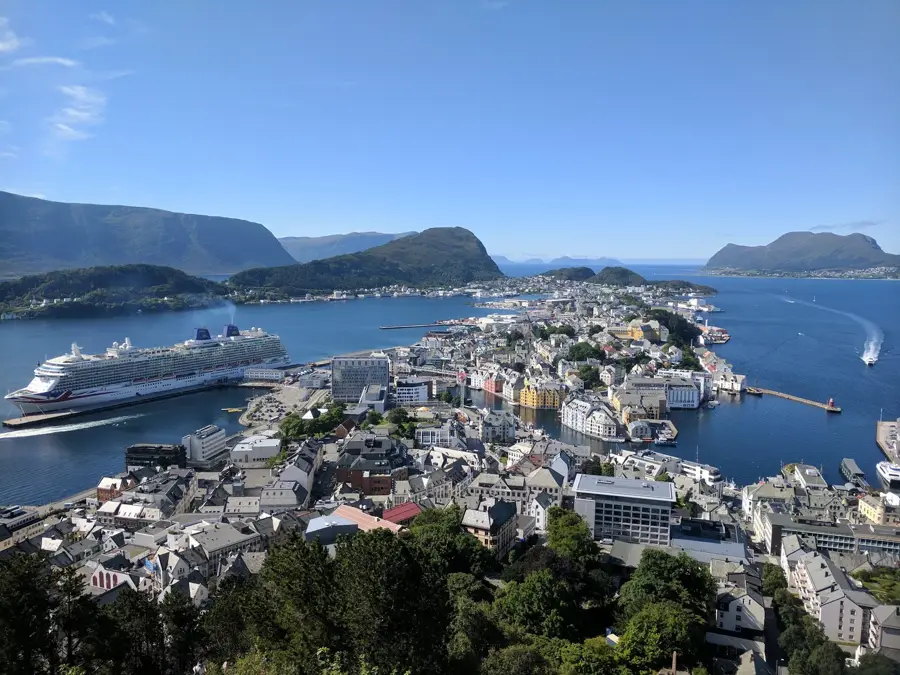
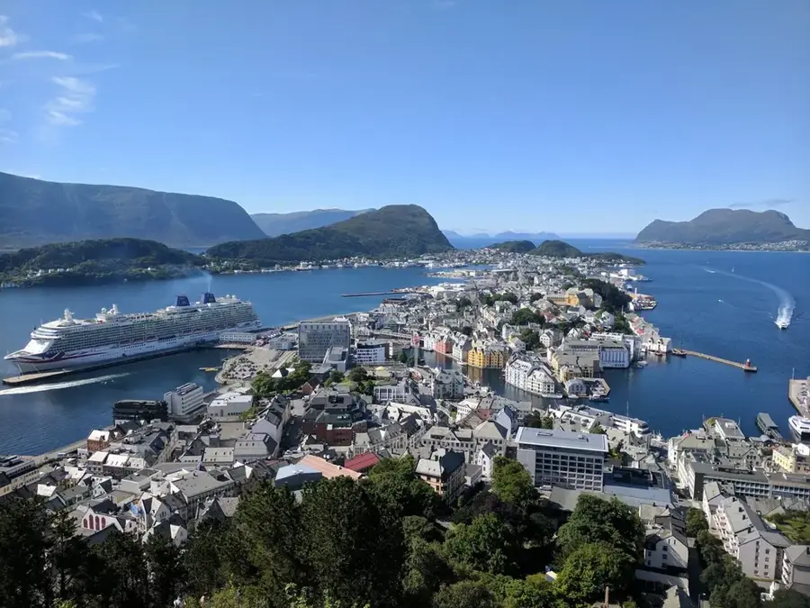
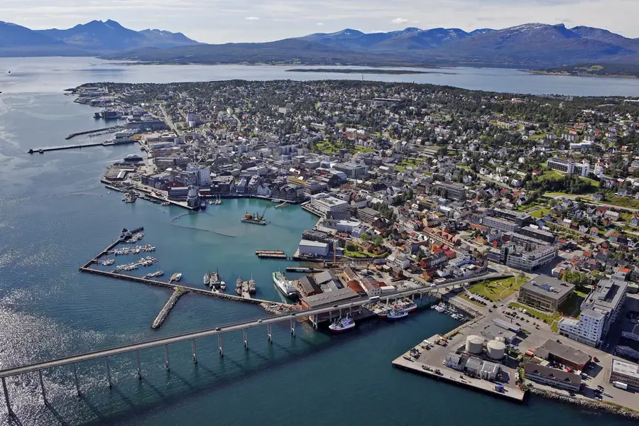
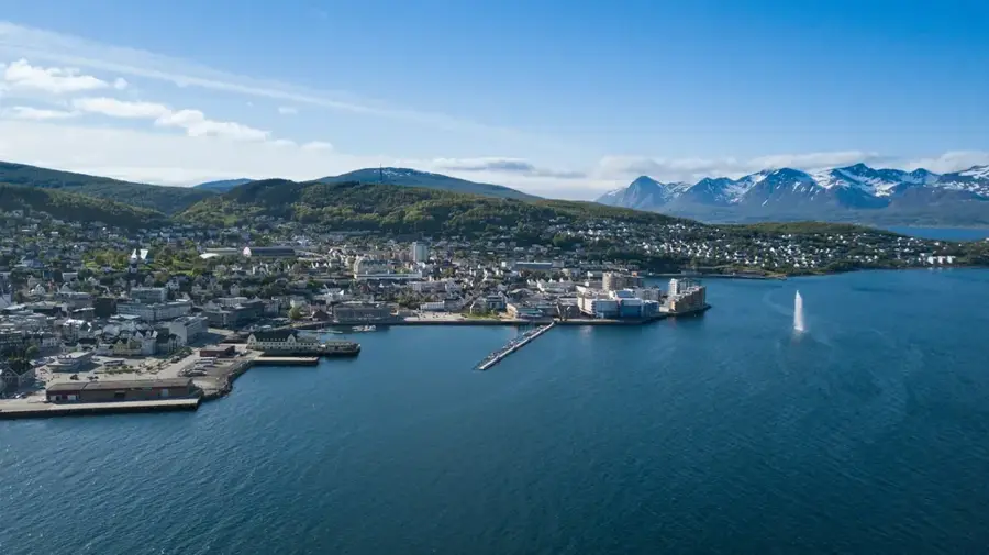
Explore nearby
Notable places around
Route planner — Car & Motorhome
Where do you start? We build the route here, with stops and country notes along the way.
© OpenStreetMap contributors · OpenRouteService
Sights nearby
Frequently asked questions
What is special about the location of this park?
What is Svartisen?
Is the Engabreen glacier tongue easy to reach?
Are there caves in the national park?
Which mountain range defines the park?
Saltfjellet-Svartisen: where is it located?
Saltfjellet-Svartisen: when is the best time to visit?
Saltfjellet-Svartisen: why is it worth visiting?

Nearby cities